Mount Hinata 日向山 Hike Itinerary

(Day 1) Jun 19, 08:54 AM:
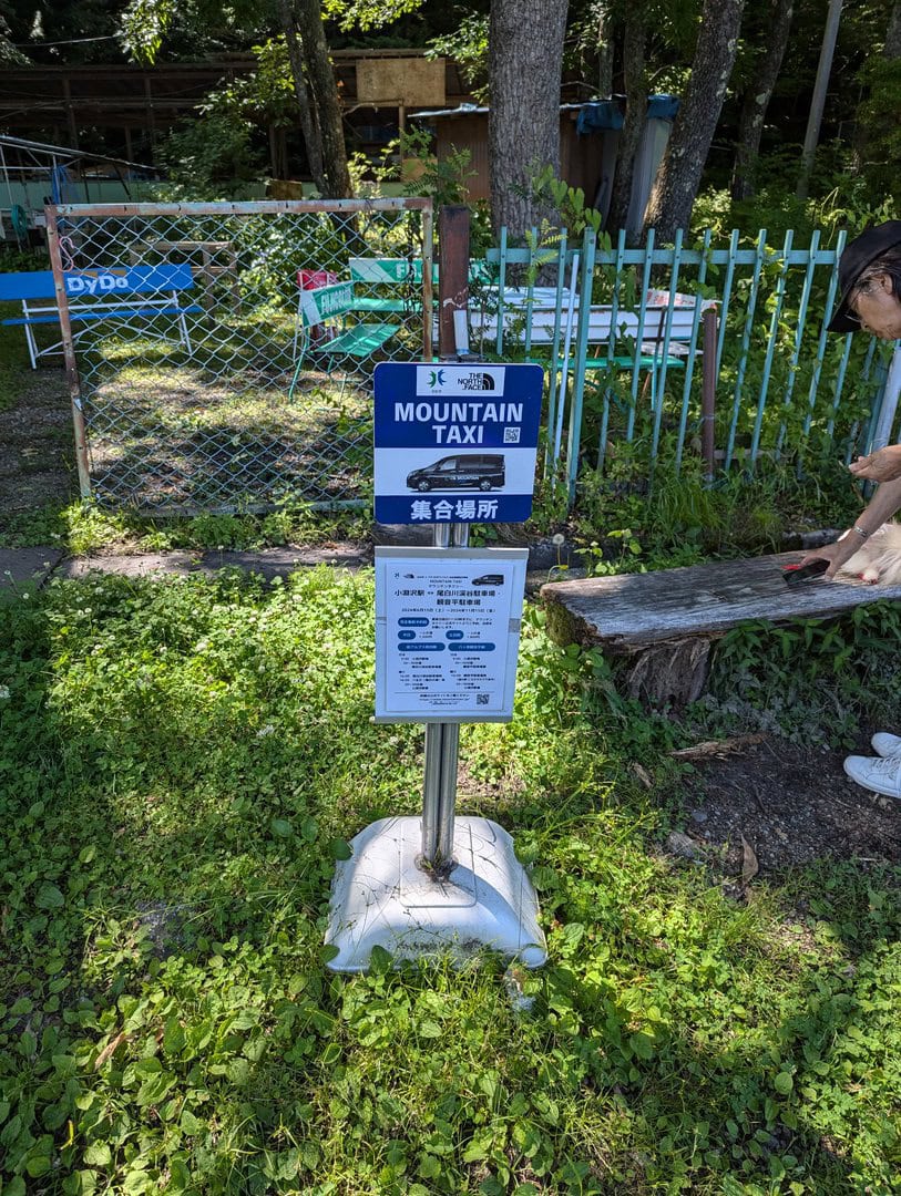
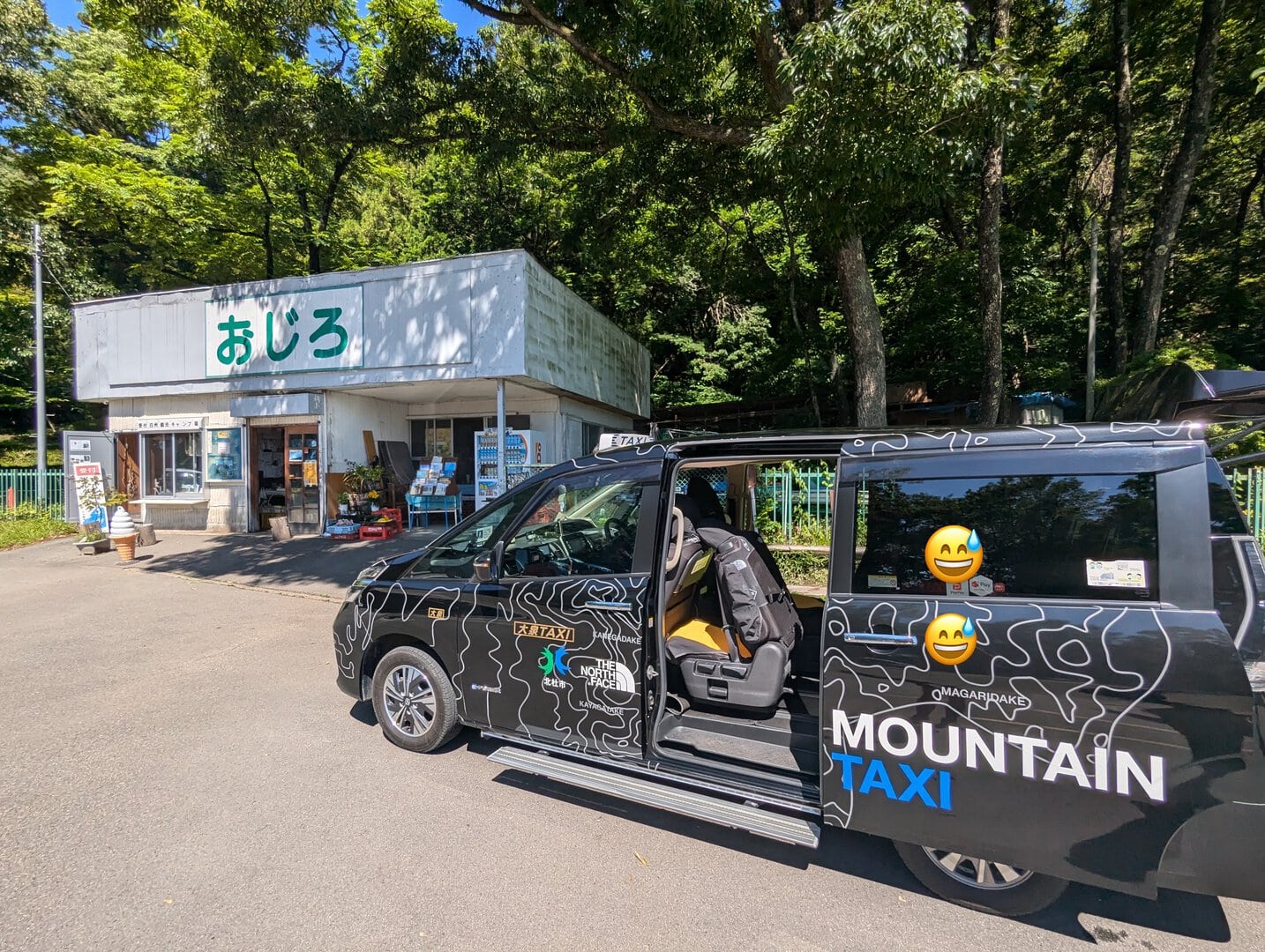
Arrive at Kobuchizawa Station 小淵沢駅 and take the Mountain Taxi シェア型登山タクシー that was reserved online.
This is a shared taxi service. They have website from which you can easily make a reservation with a credit card.
You can make the reservation at this link.

(Day 1) Jun 19, 09:15 AM:
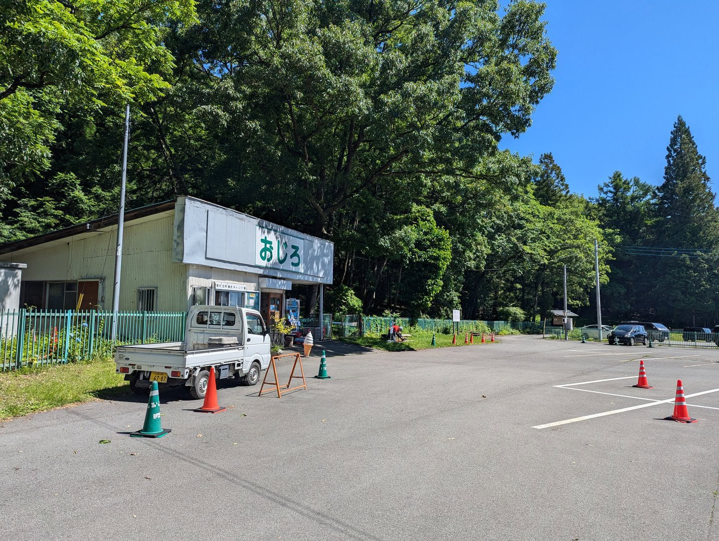
The taxi will arrive at Ojiragawa Canyon Parking Lot 尾白川渓谷 駐車場 right
(Day 1) Jun 19, 09:20 AM:
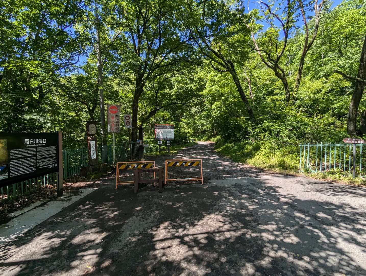
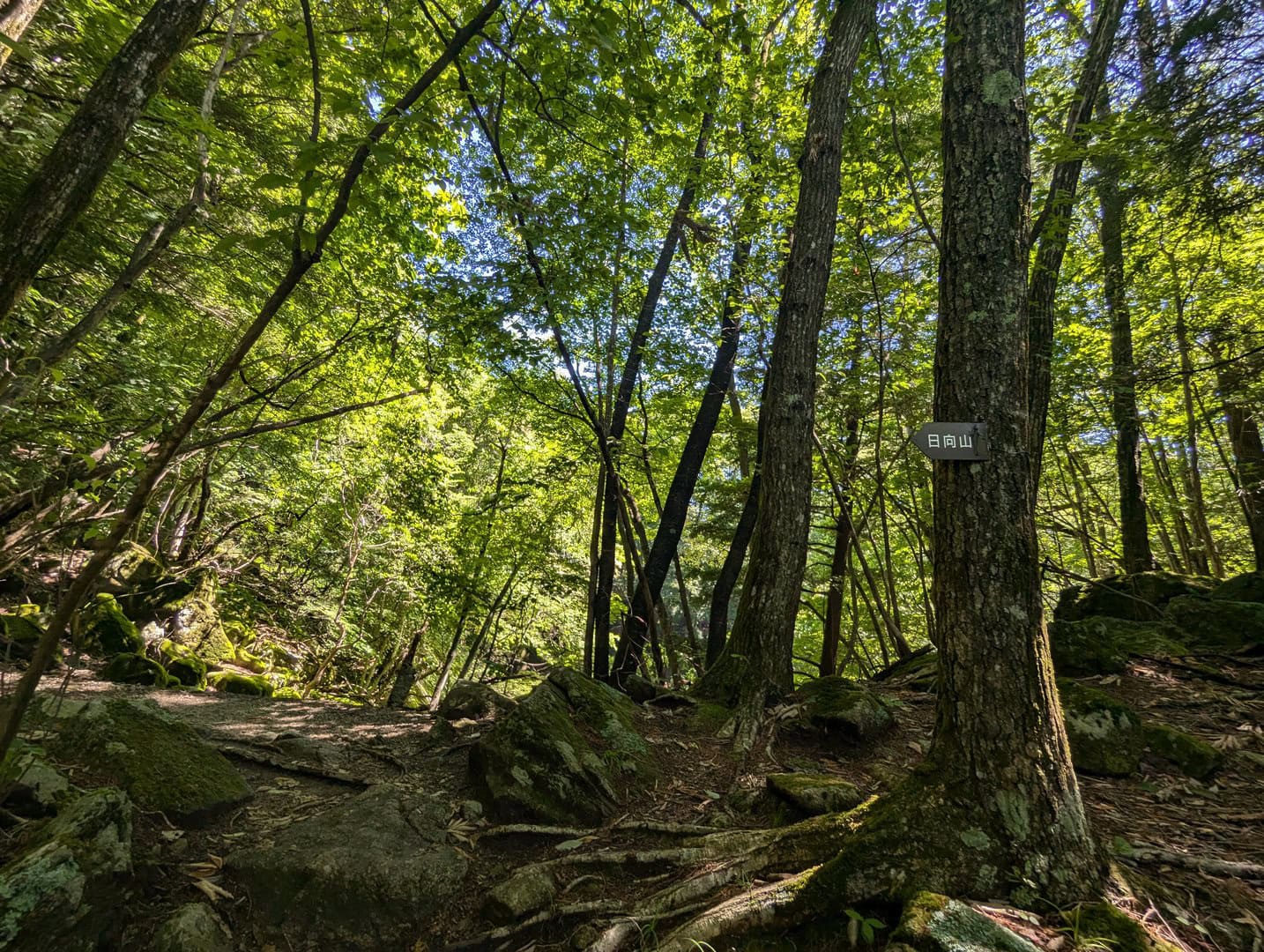
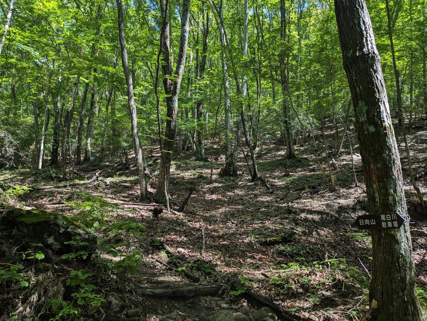
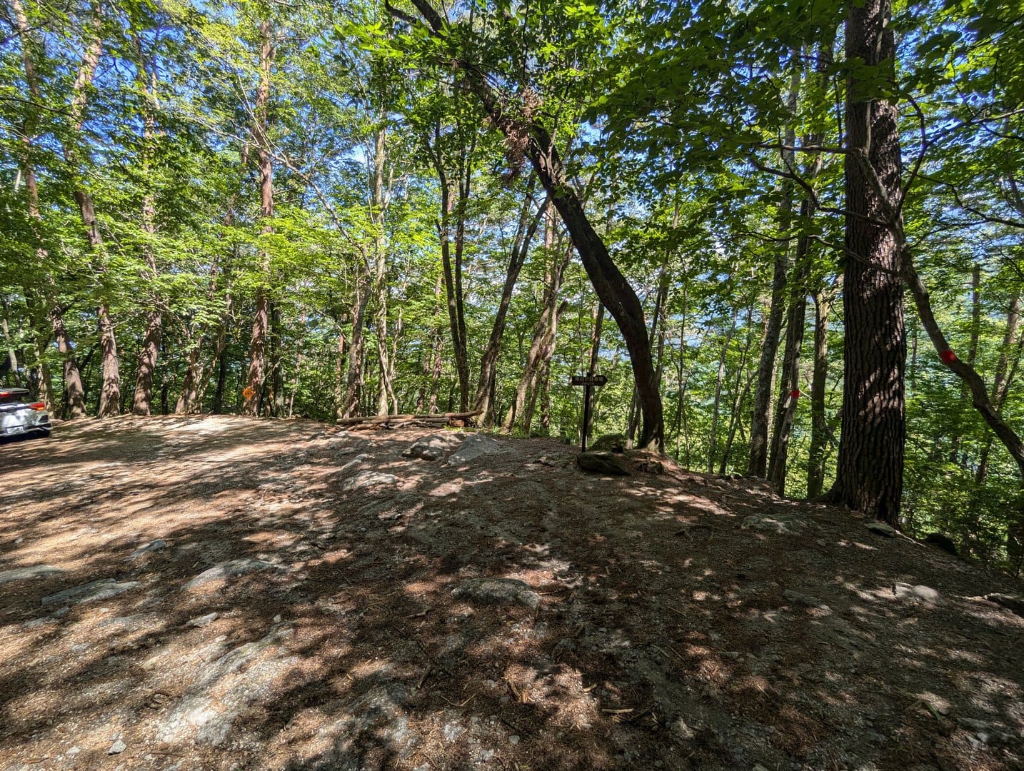
At the edge of the parking lot lies the entrance to Mount Hinata 日向山 and Mount Kai Komagatake 甲斐駒ヶ岳.
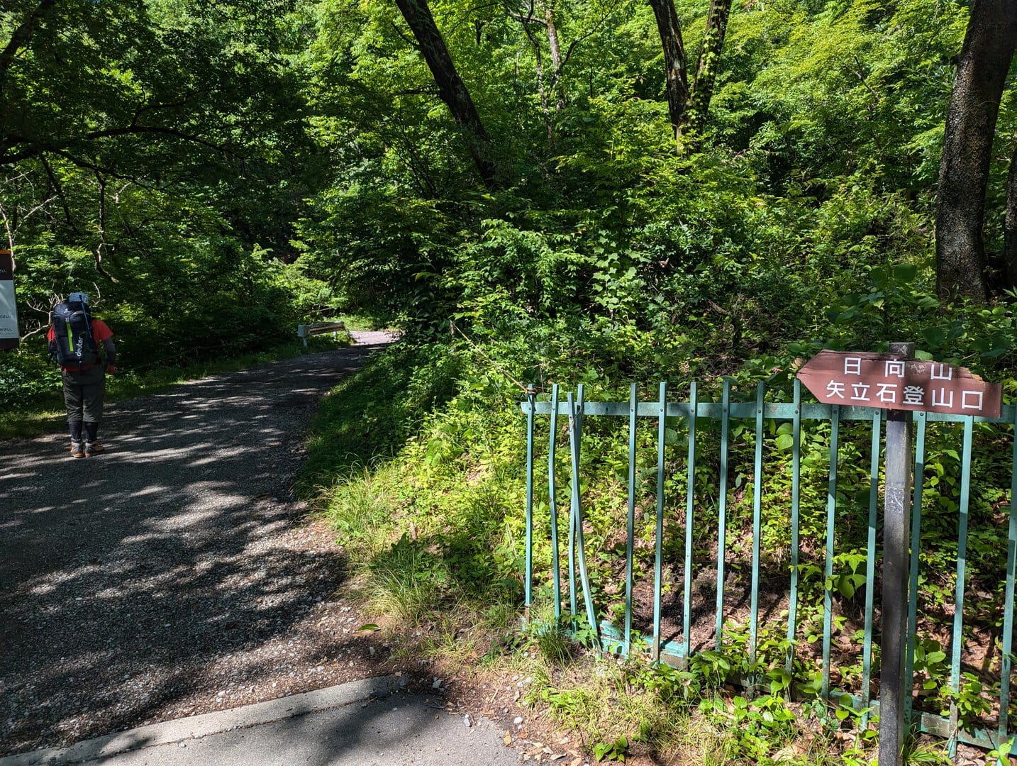
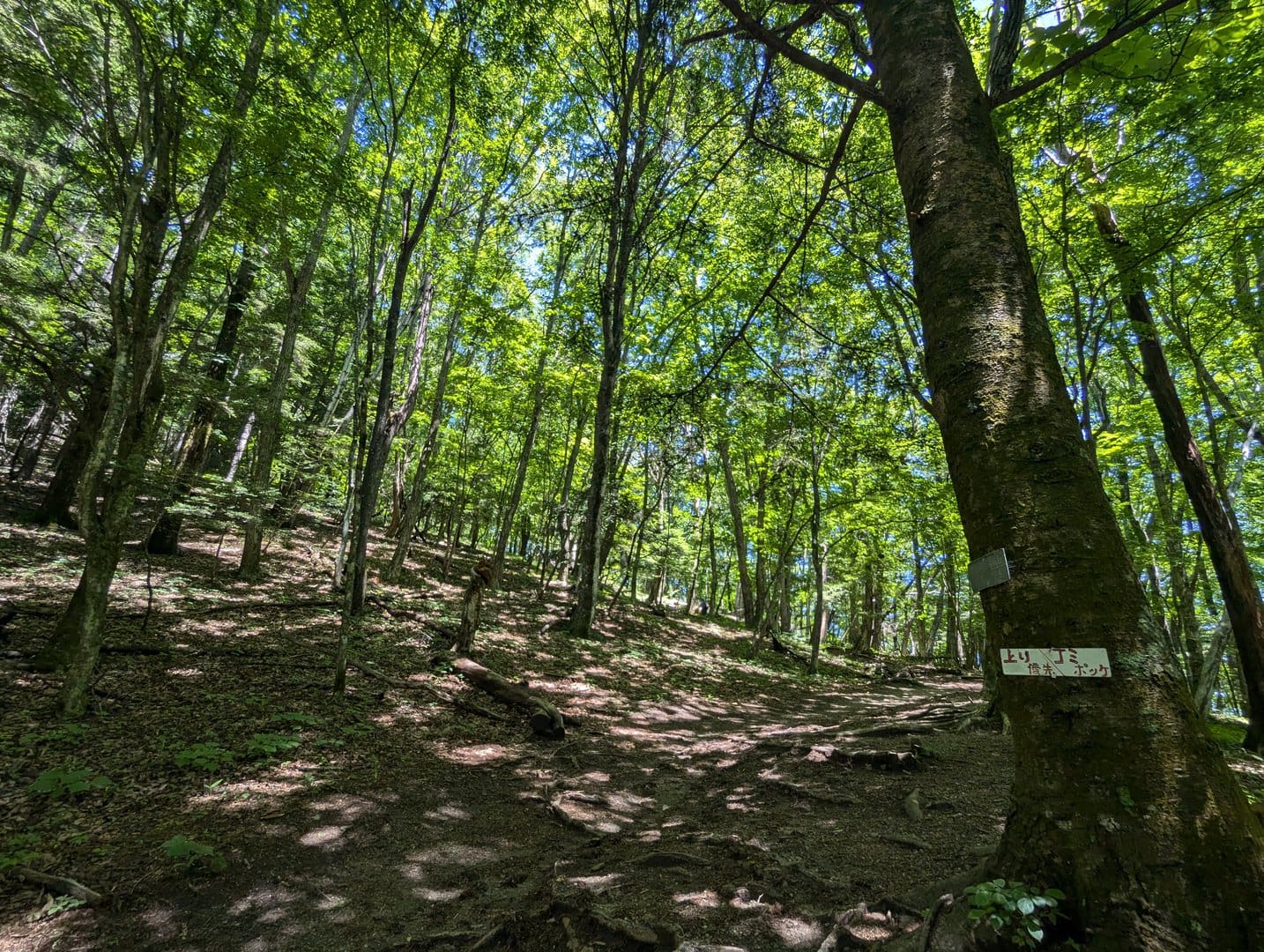
(Day 1) Jun 19, 09:21 AM:
The trails until the fork that lead to either the trekking course up Mount Kai Komagatake 甲斐駒ヶ岳 or Mount Hinata 日向山 starts out flat and comfortable.
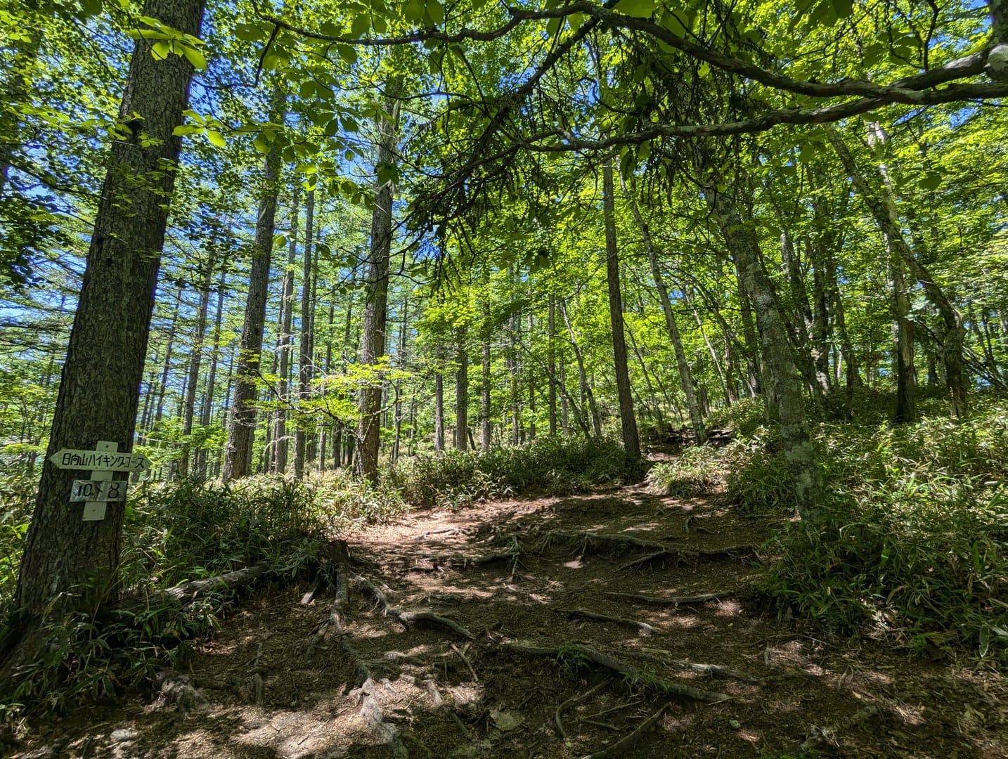
(Day 1) Jun 19, 09:25 AM:
And so we reach the fork. Follow the signs and head up Mount Hinata 日向山.
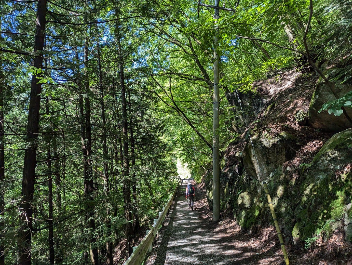
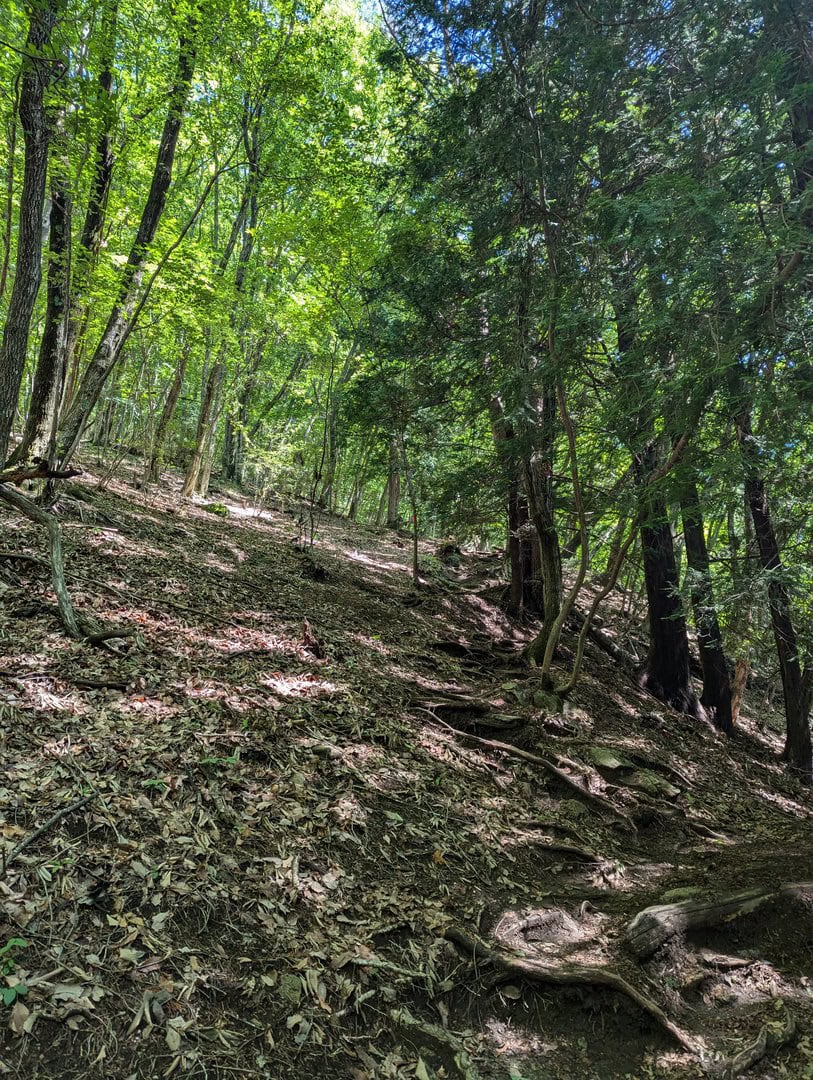
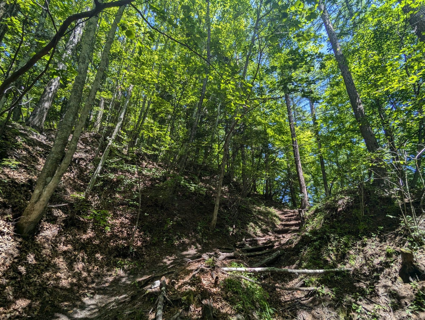
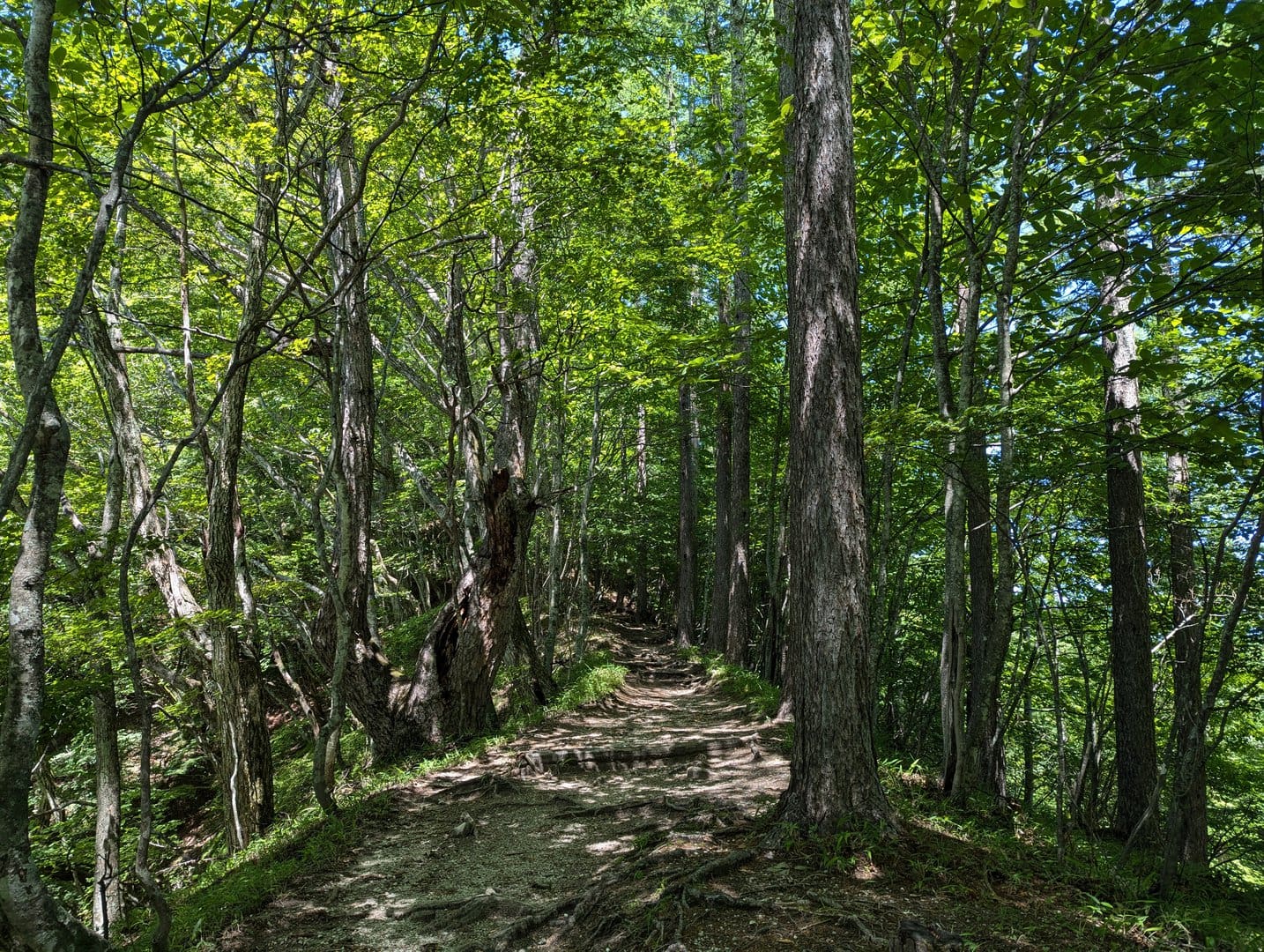
(Day 1) Jun 19, 09:31 AM:
It can be hot and strenuous, but remember to look up and enjoy the nature and greenery. Isn't it gorgeous?
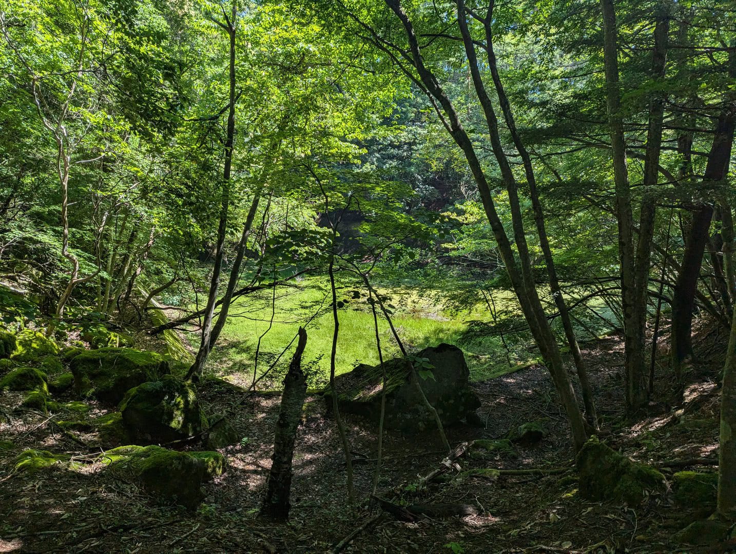
(Day 1) Jun 19, 09:31 AM:
The first landmark on the Mount Hinata Trail 日向山コース, a small pond.
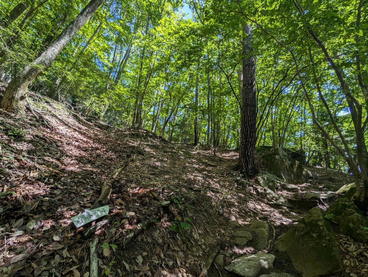
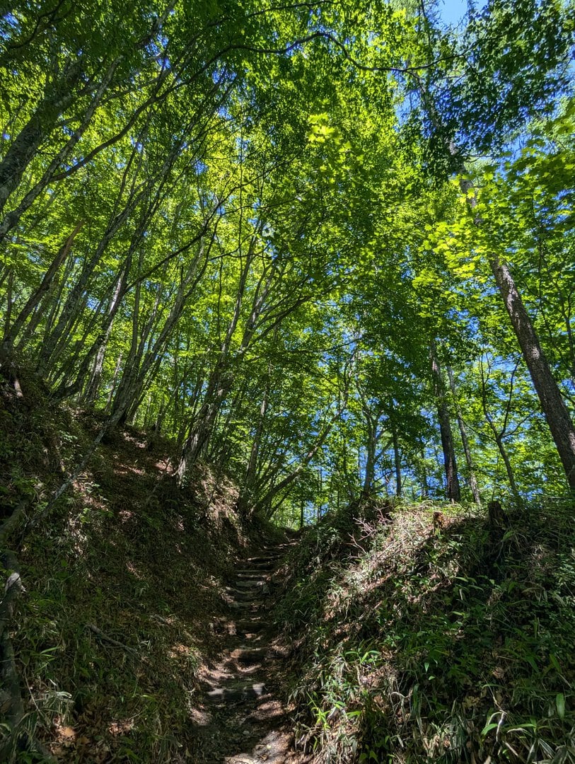
(Day 1) Jun 19, 09:34 AM:
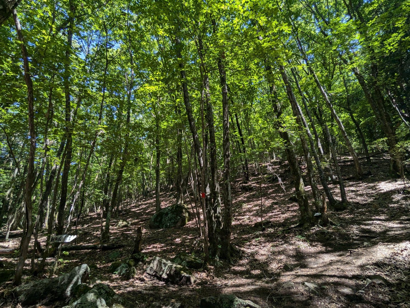
The battle continues. Follow the red trail markers to stay on track.
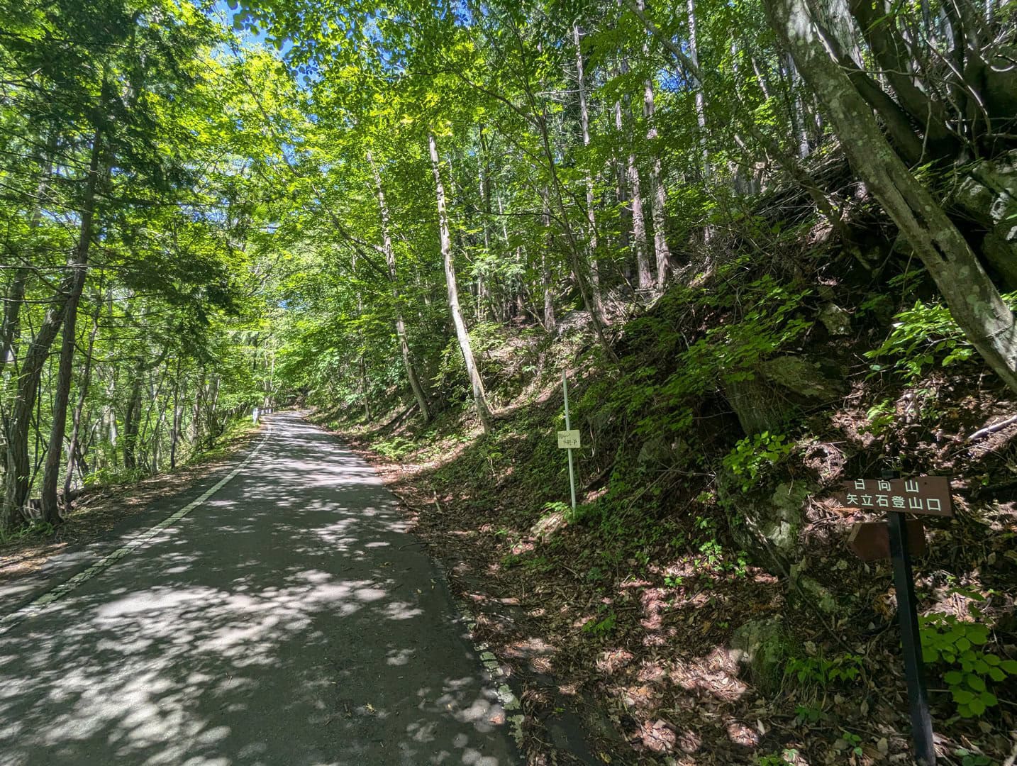
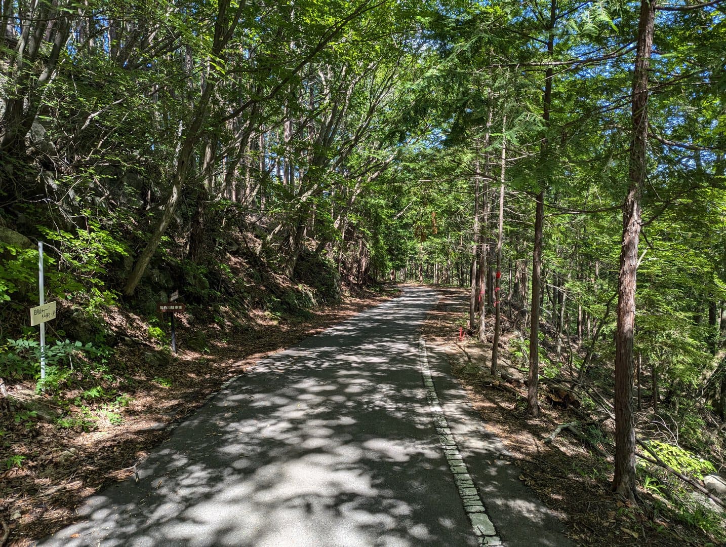
(Day 1) Jun 19, 09:52 AM:
You will reach the next landmark, a short walk on the asphalt road!
This would be a short 5 minutes walk before you enter the woods again. Please remember this segment of the track, where you have to walk on asphalt road for a bit, on your way down as it can be difficult to find the path during the descent, as least from my experience.
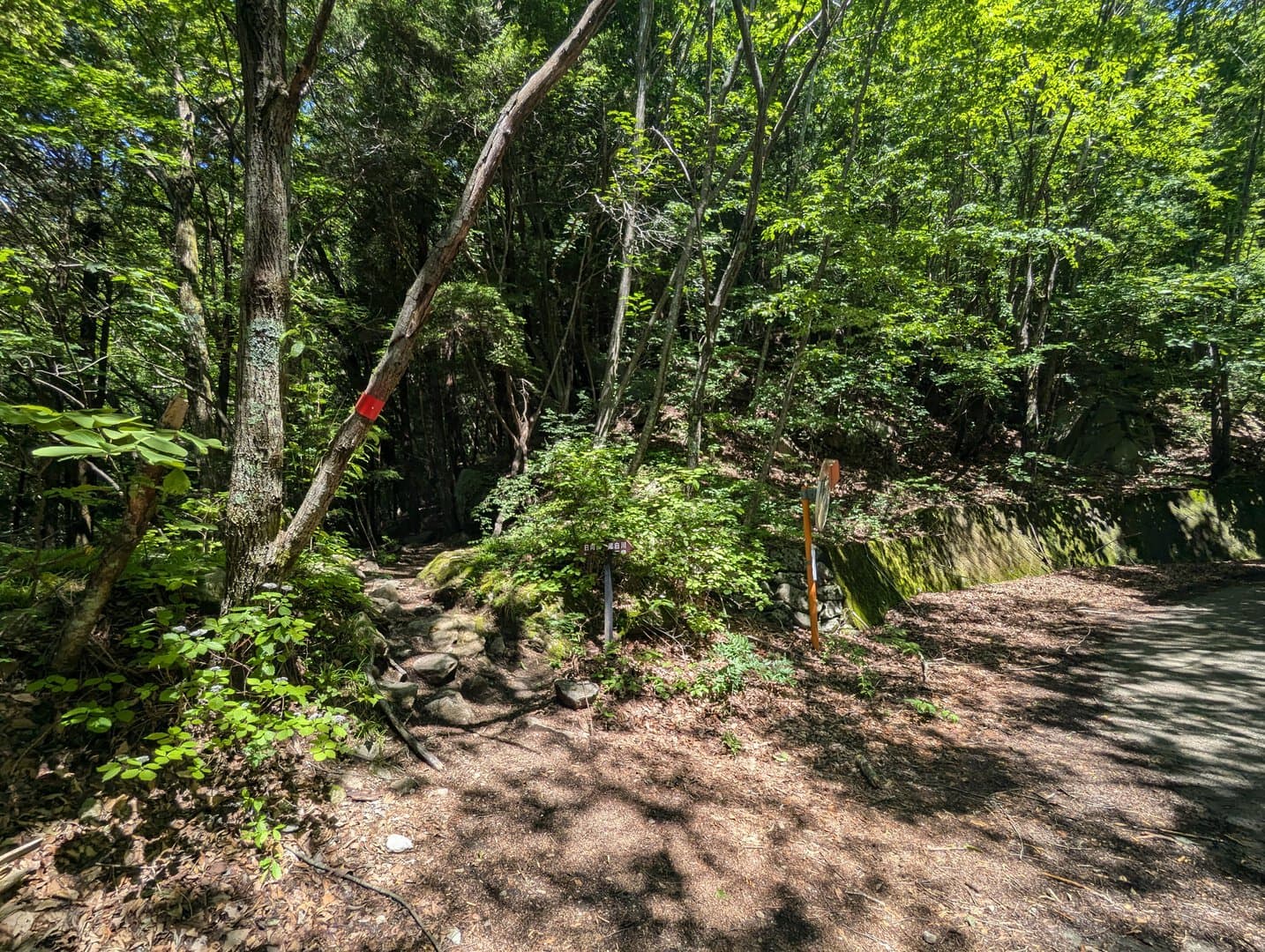
(Day 1) Jun 19, 09:55 AM:
And here is where you head into the woods again. Of course you can continue along the asphalt road for a more gentle hike until you reach the Hinatayama Yatateishi Parking Lot 日向山矢立石駐車場.
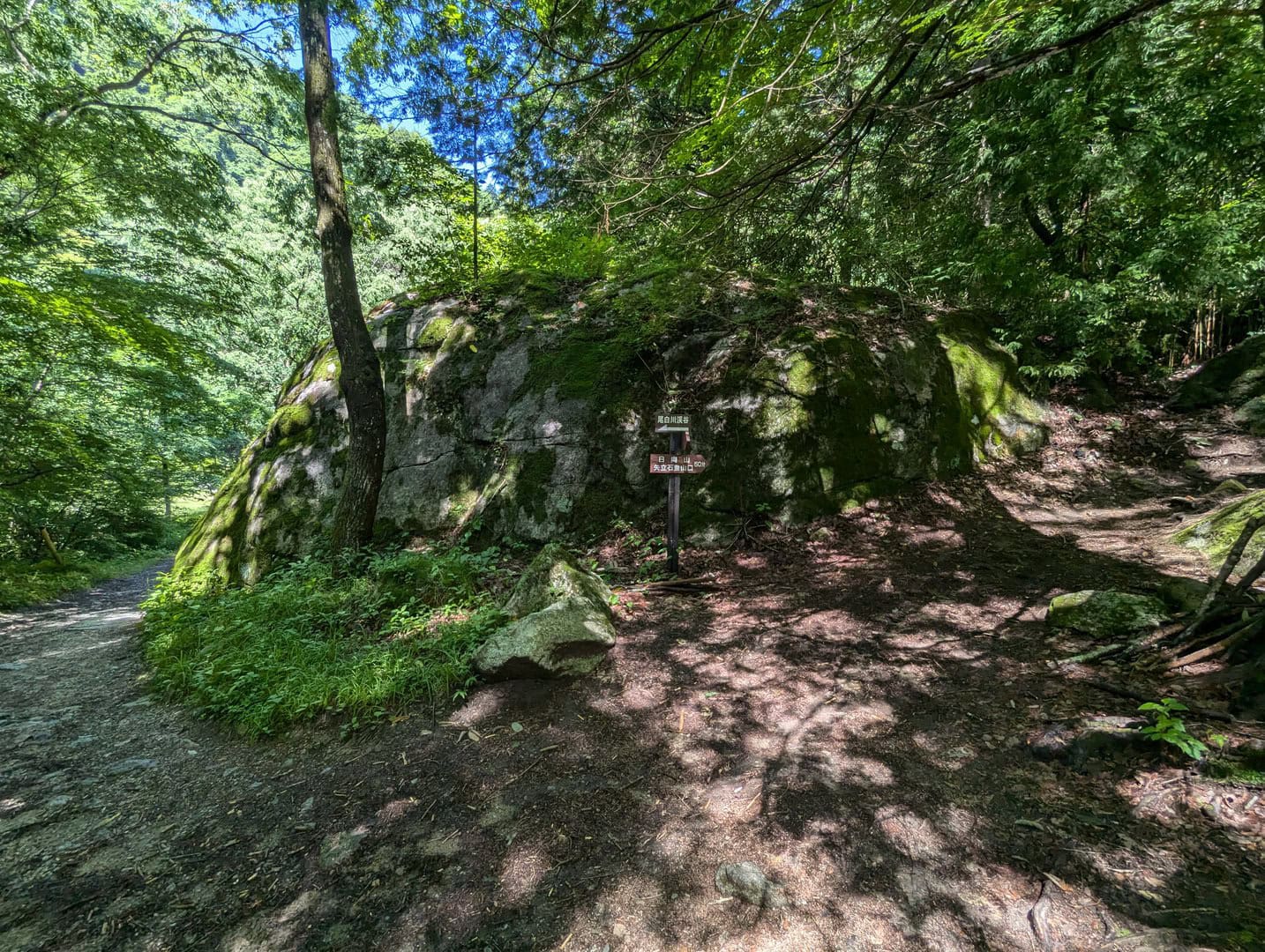
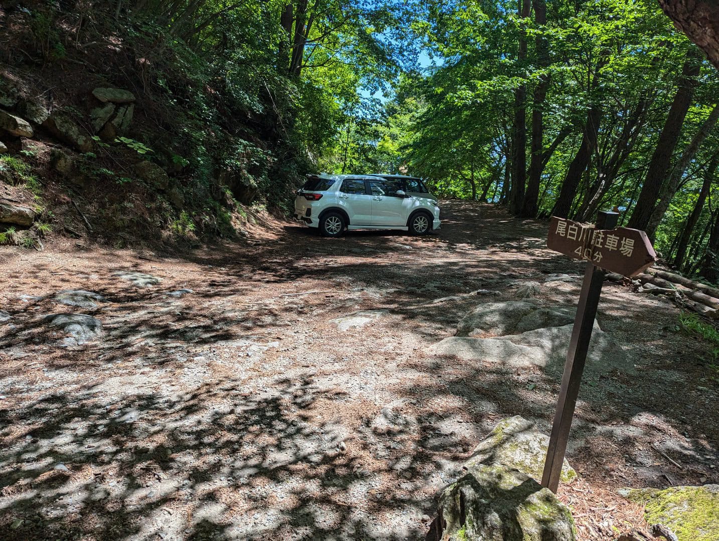
(Day 1) Jun 19, 10:02 AM:
The Hinatayama Yatateishi Parking Lot 日向山矢立石駐車場 is the highest point of the Mount Hinata Trail 日向山コース that you can get to with a vehicle.
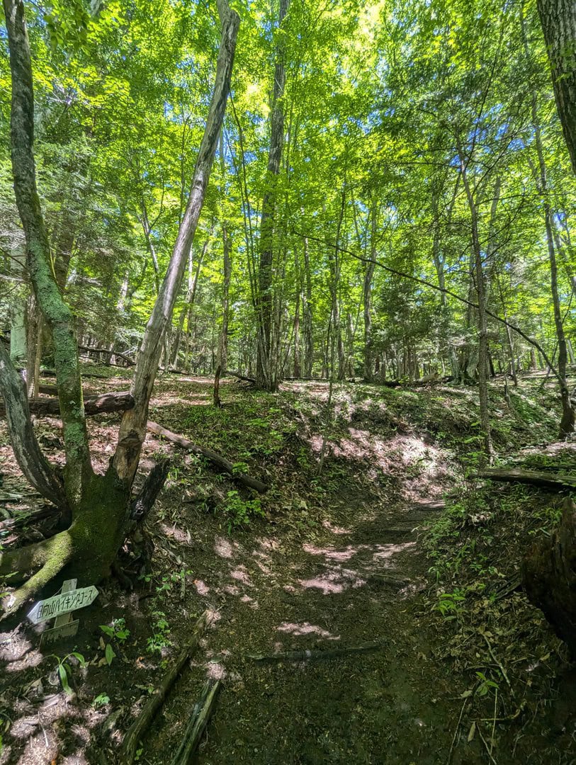
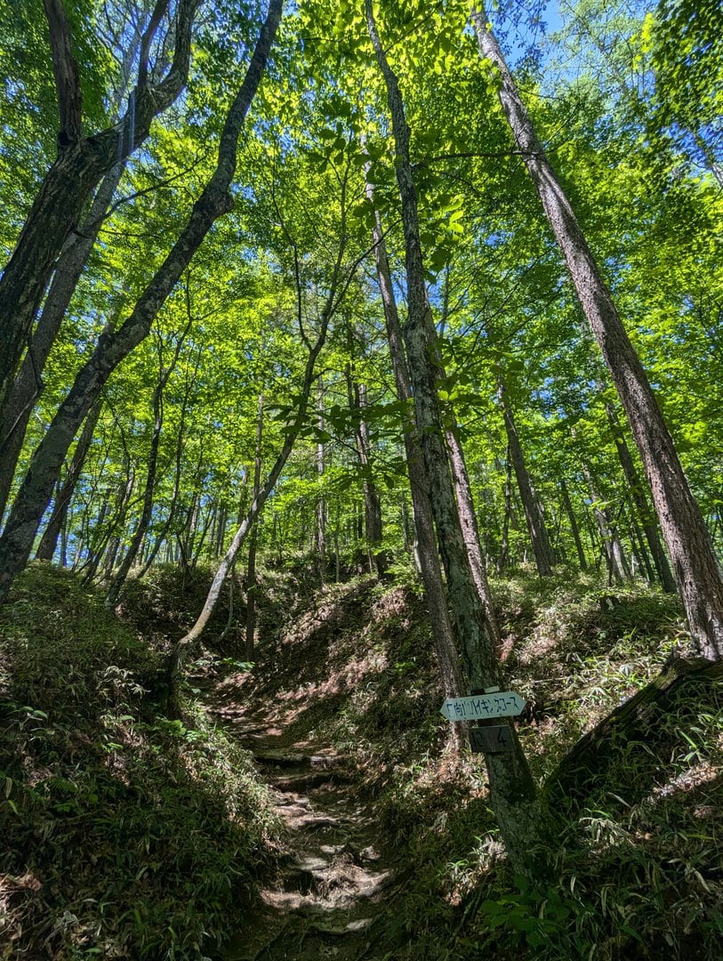
(Day 1) Jun 19, 10:12 AM:
And the entrance to continue the next part of the trail.

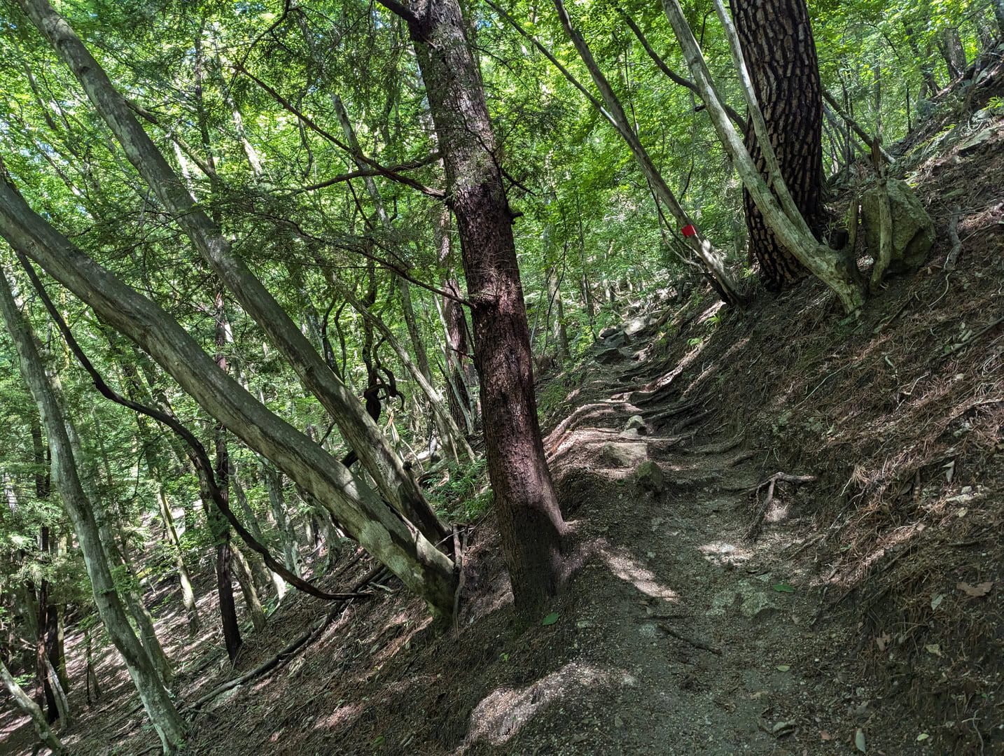
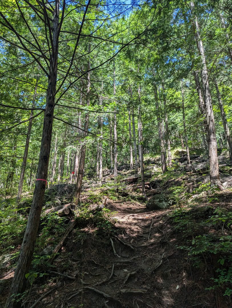
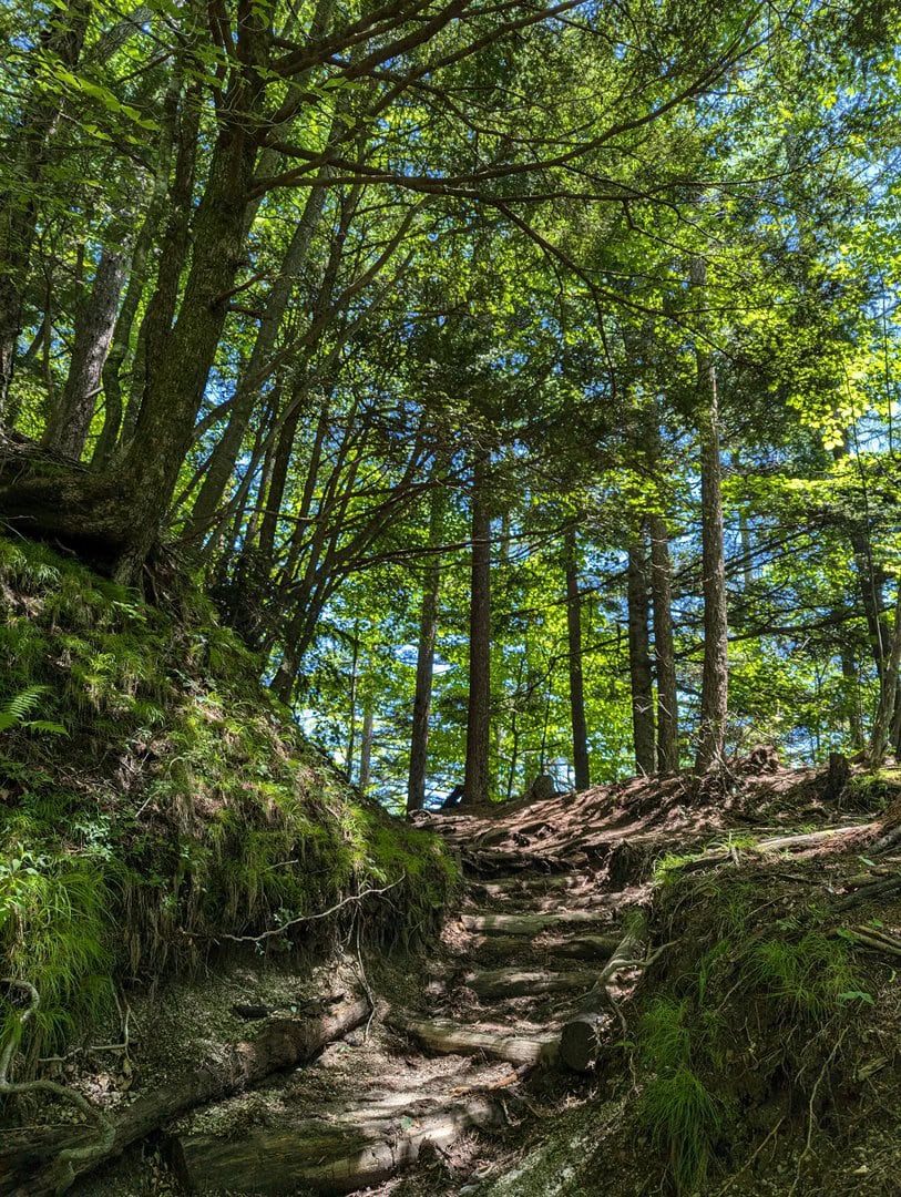
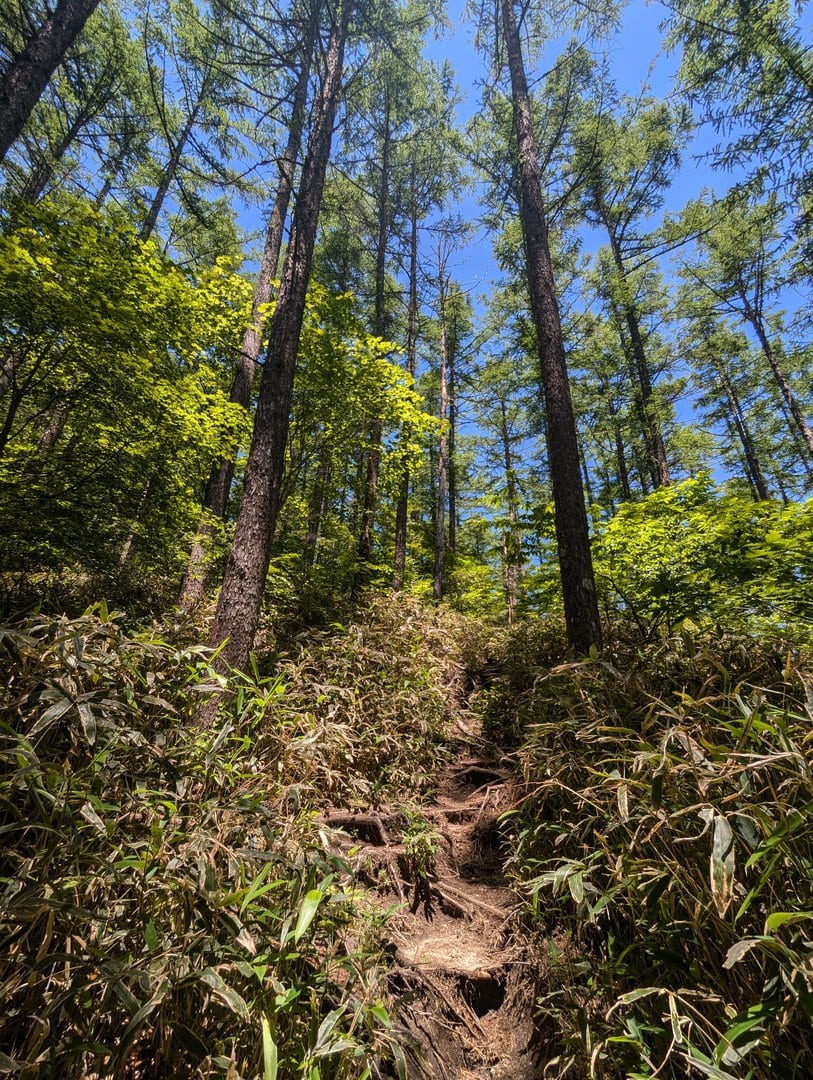
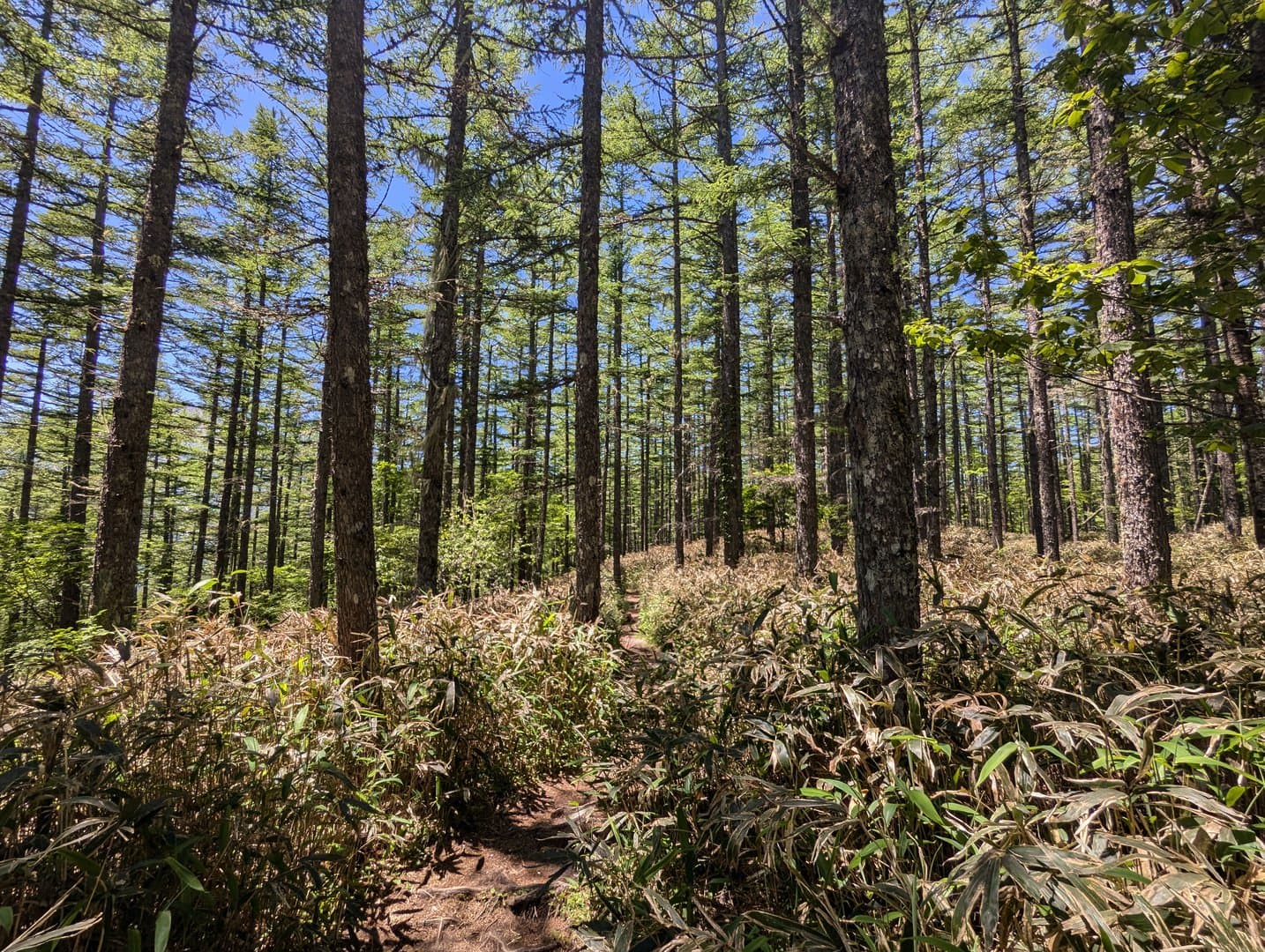
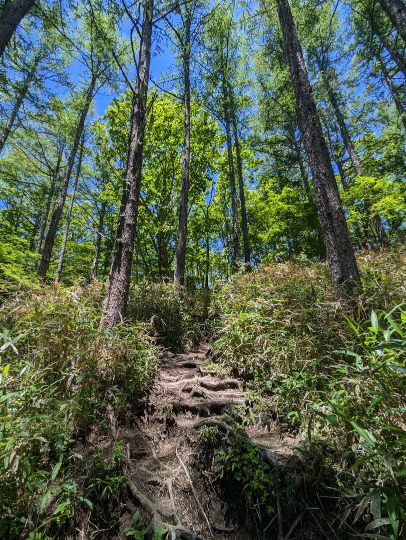
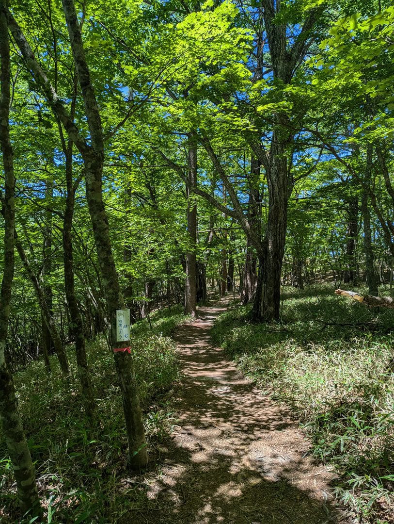
(Day 1) Jun 19, 10:20 AM:
So the climb continues. It will be a constant ascent until near the summit.
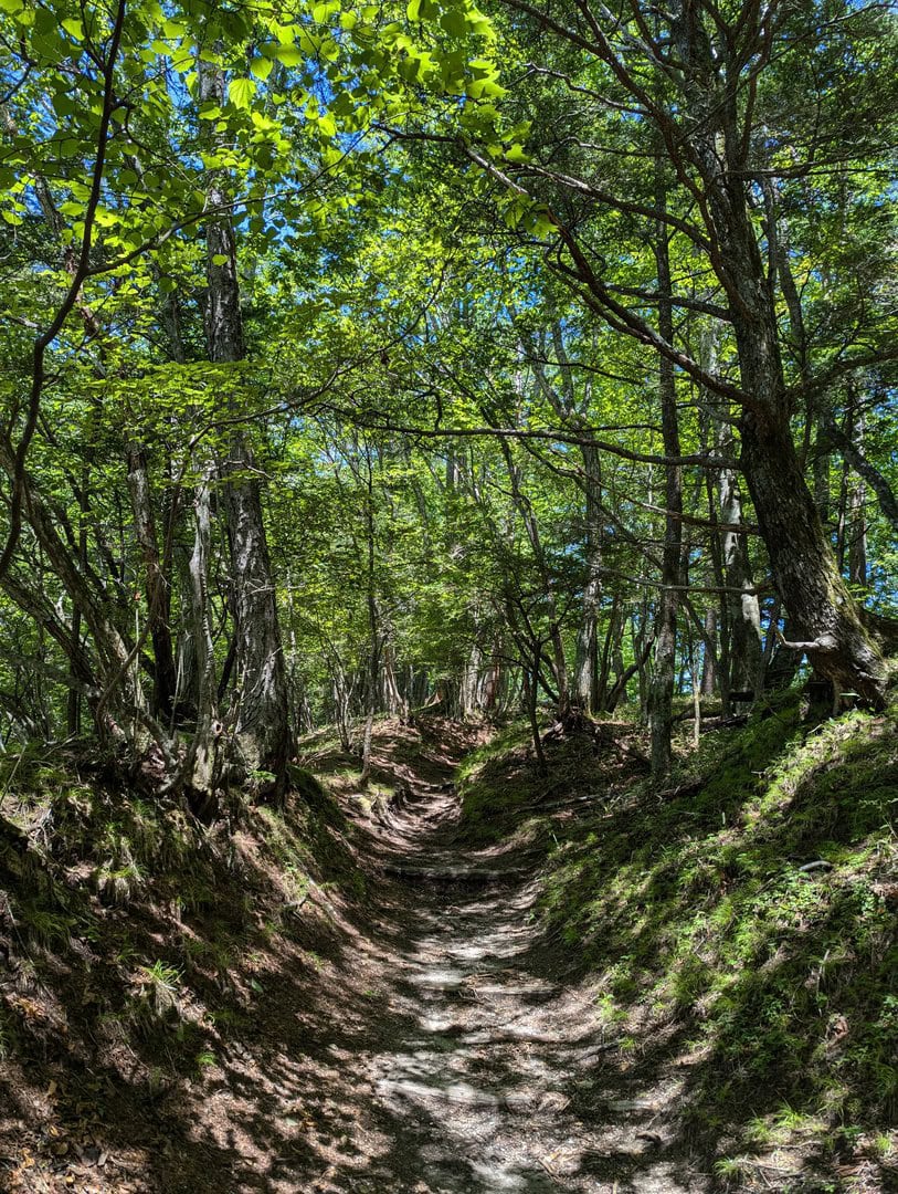
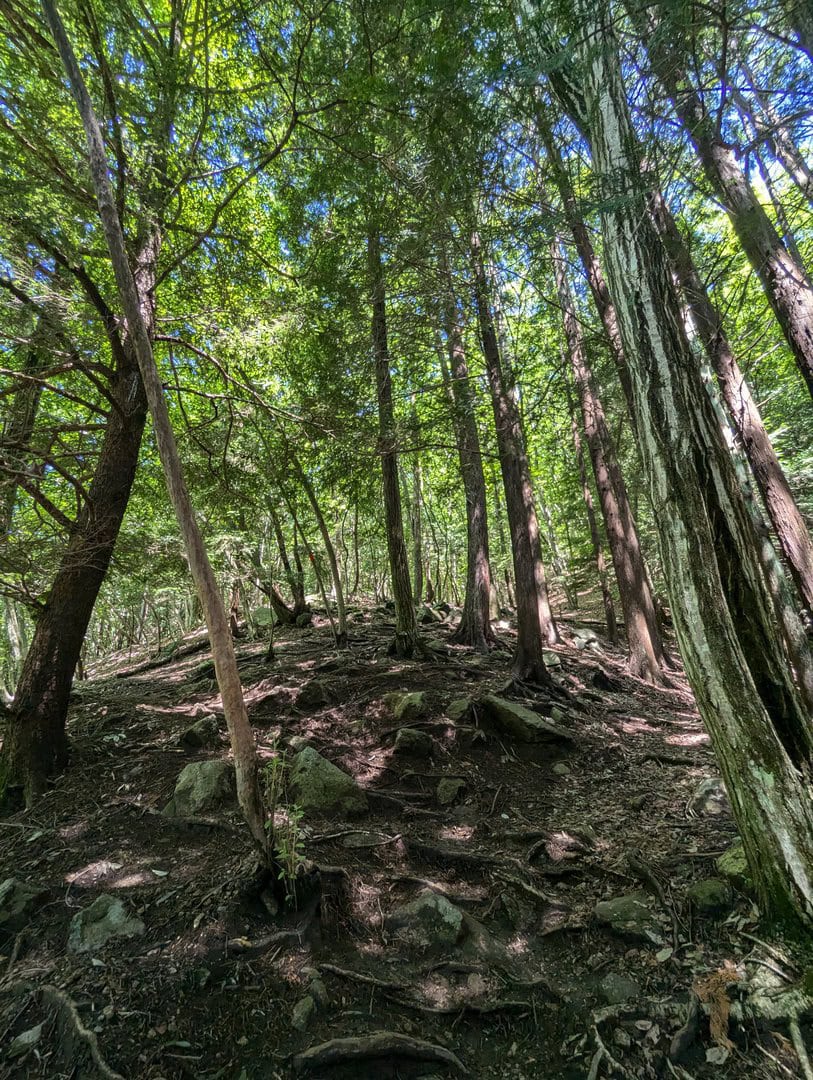
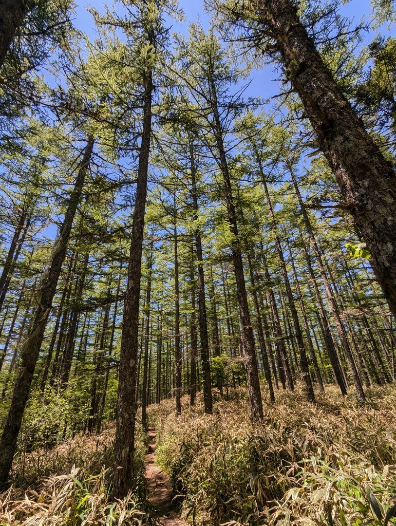
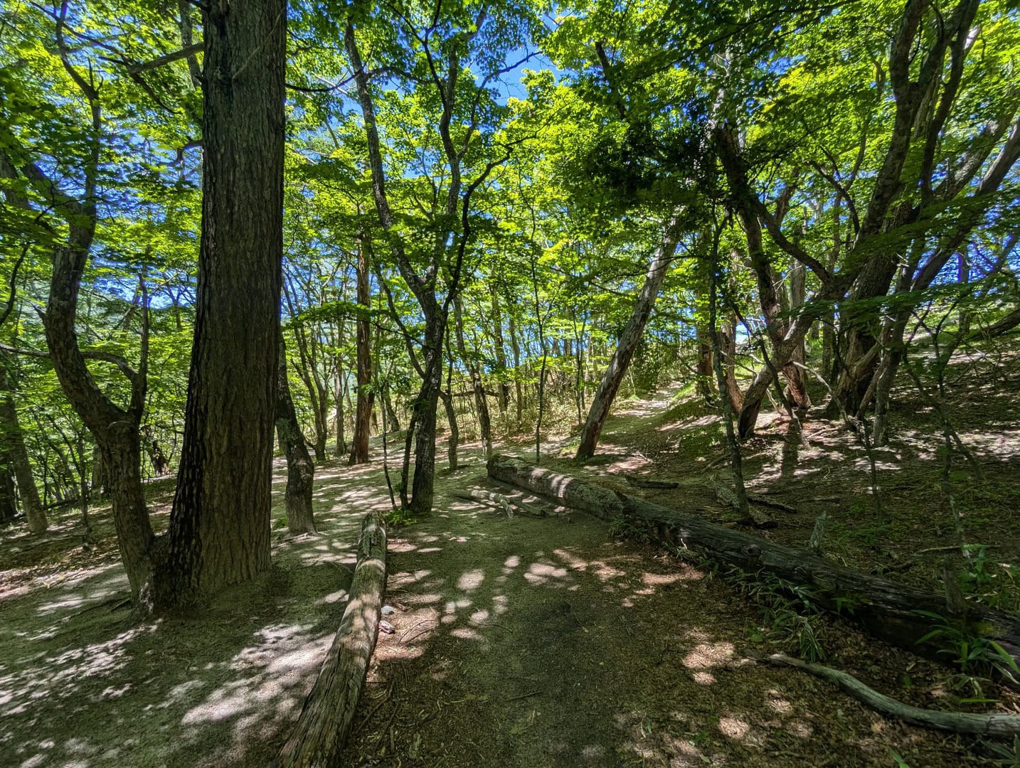
(Day 1) Jun 19, 10:35 AM:
Near the summit, the trek gentles, and I could enjoy the lush green forest scenery even more! :)
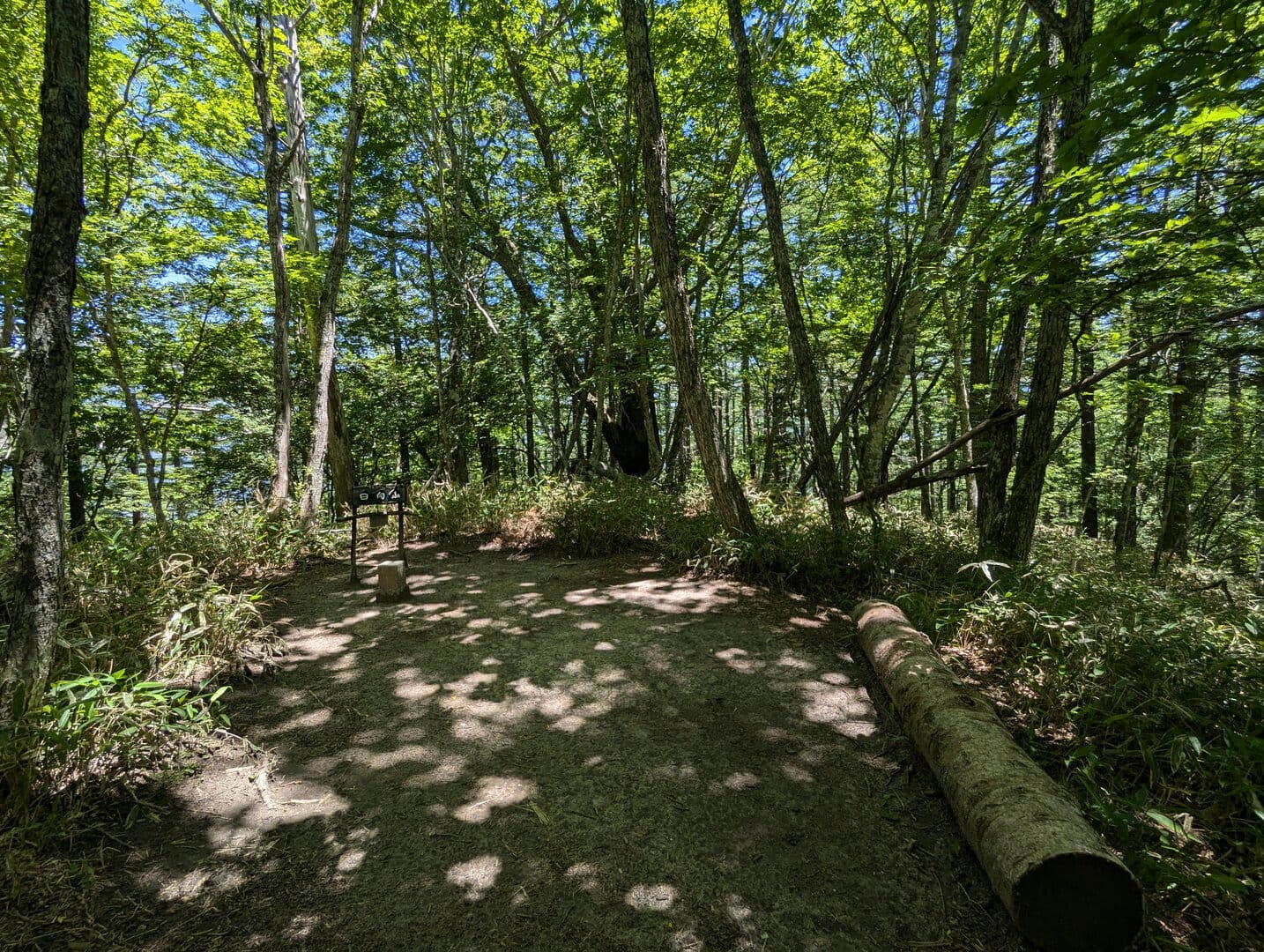
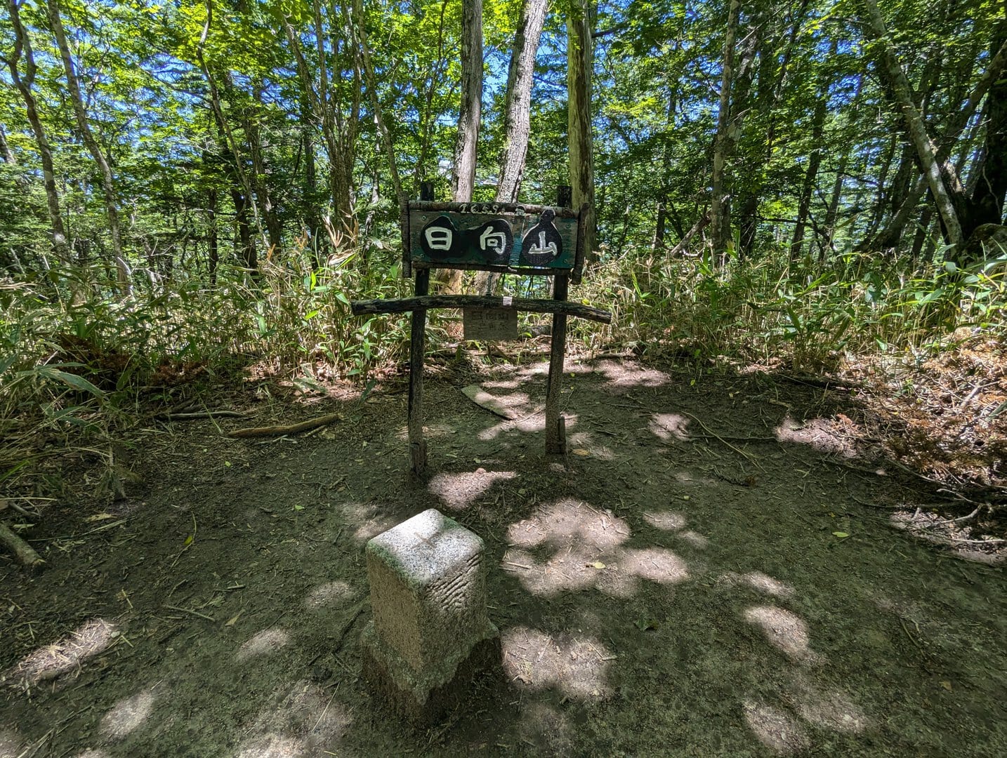
(Day 1) Jun 19, 11:21 AM:
This is the last checkpoint before the summit, named Mount Hinata Triangulation Point (日向山三角点).
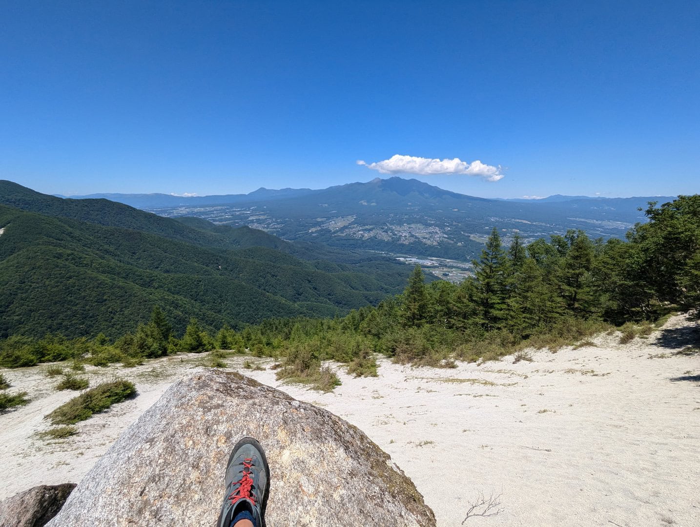
(Day 1) Jun 19, 11:32 AM:
And we reach the summit! There it is, the legendary beach on the mountain top. Enjoy the views!
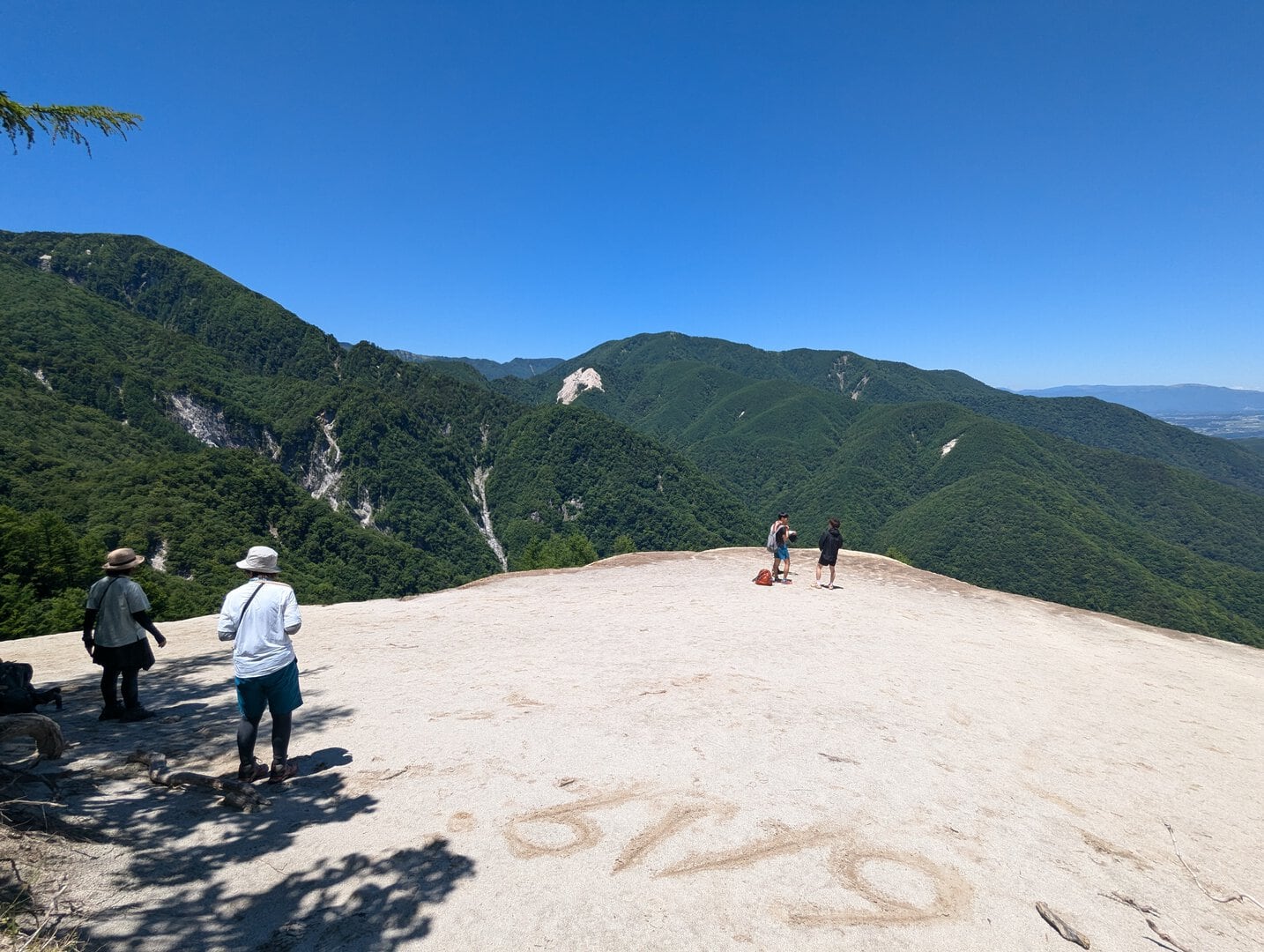
(Day 1) Jun 19, 11:33 AM:
There is Mount Kai Komagatake 甲斐駒ヶ岳 lurking on the left once you enter the "beach"
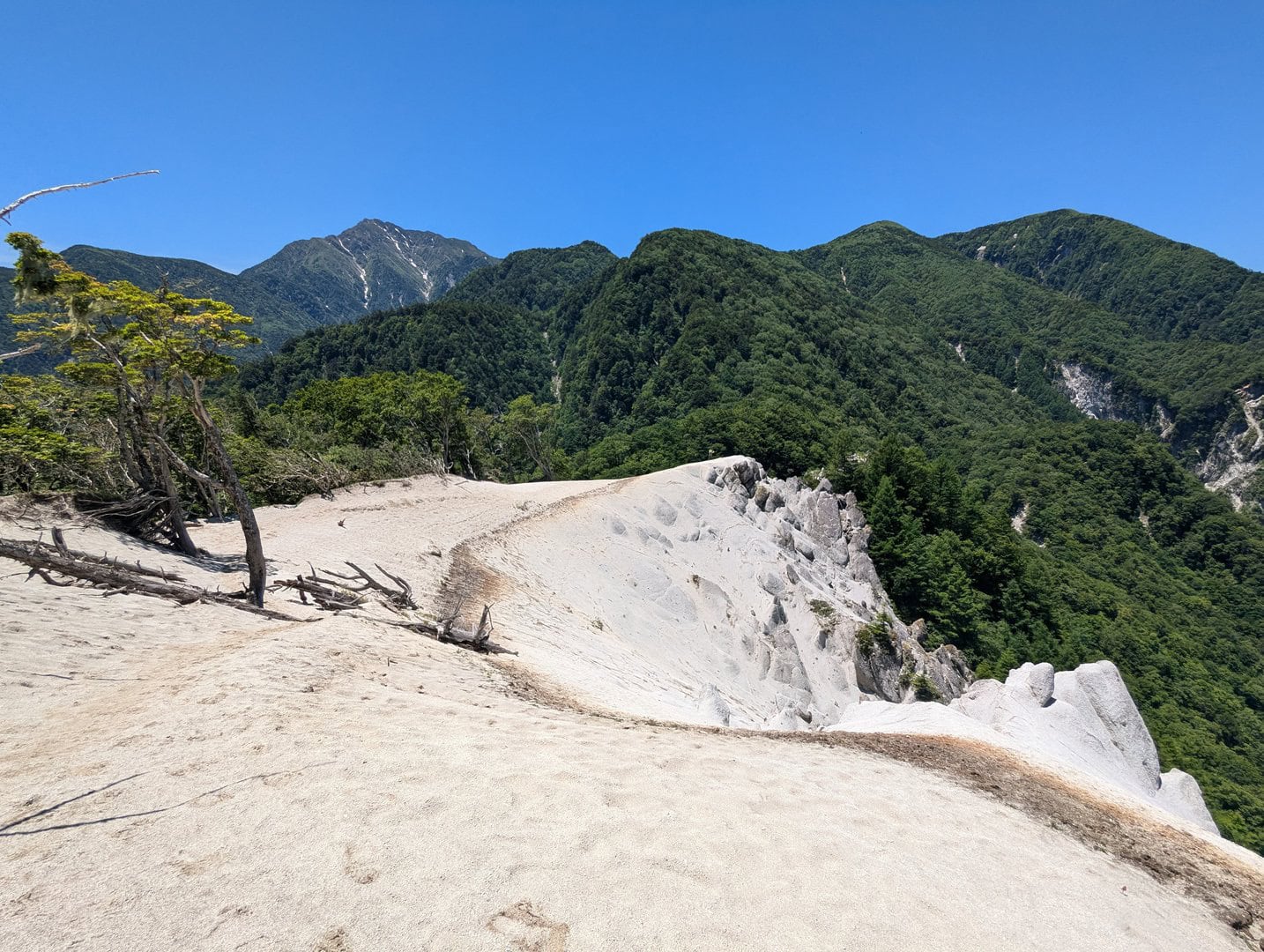
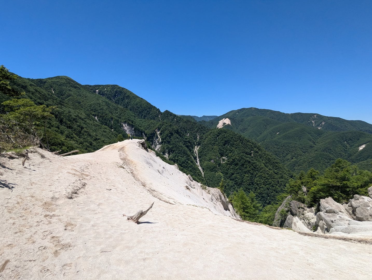
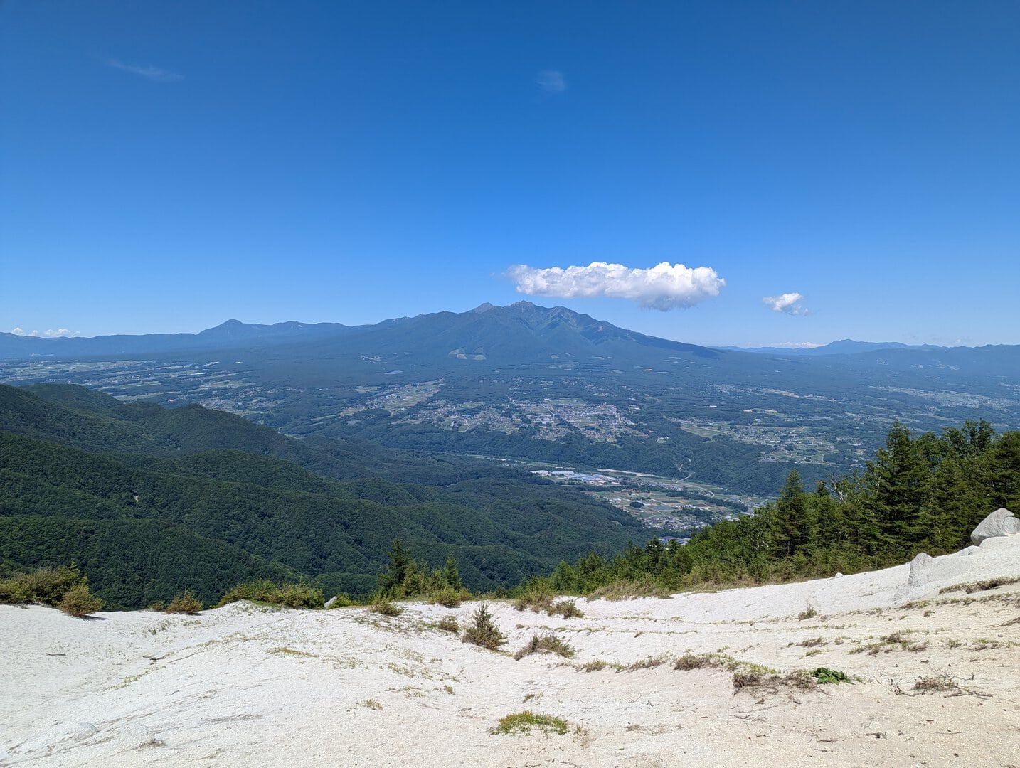
(Day 1) Jun 19, 11:34 AM:
If you continue along the edge towards Mount Kai Komagatake 甲斐駒ヶ岳...
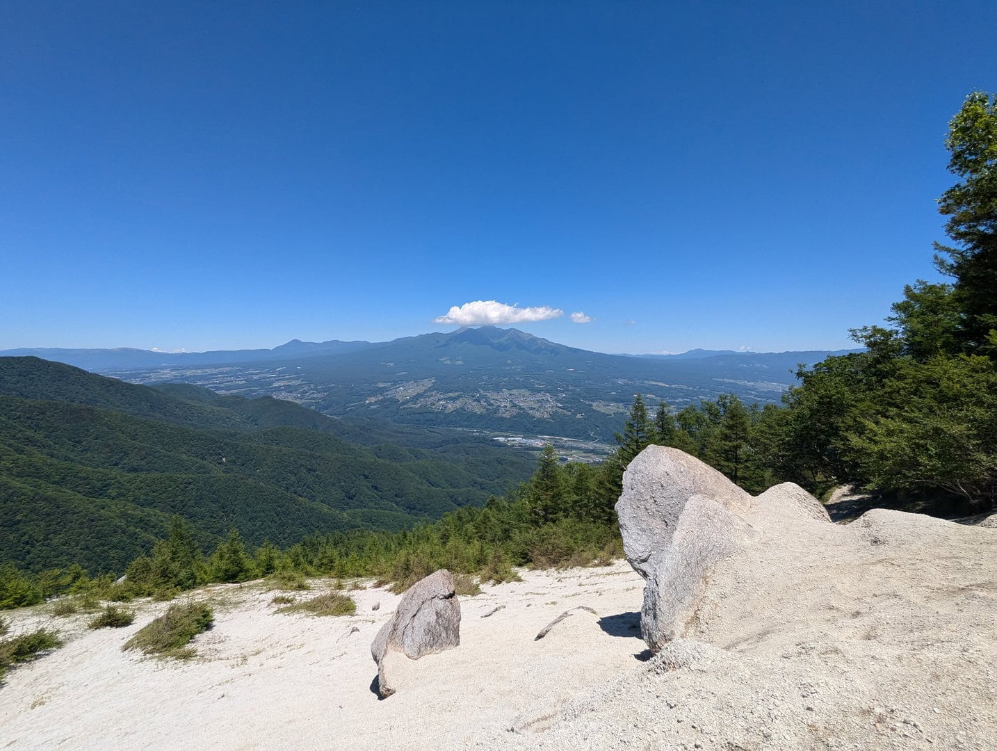
(Day 1) Jun 19, 11:40 AM:
You will be able to see Mount Fuji 富士山 behind the woods that we exited from as we enter the "beach".
(Day 1) Jun 19, 11:41 AM:
And there is the Yatsugatake Mountain Range 八ヶ岳連峰
We have written articles on how to get to Kita-Yatsugatake Ropeway 北八ヶ岳ロープウェイ, as well as to Mount Aka 赤岳(八ヶ岳) and Mount Tateshina 蓼科山, if you are interested to know more about how to get there."
(Day 1) Jun 19, 12:50 PM:
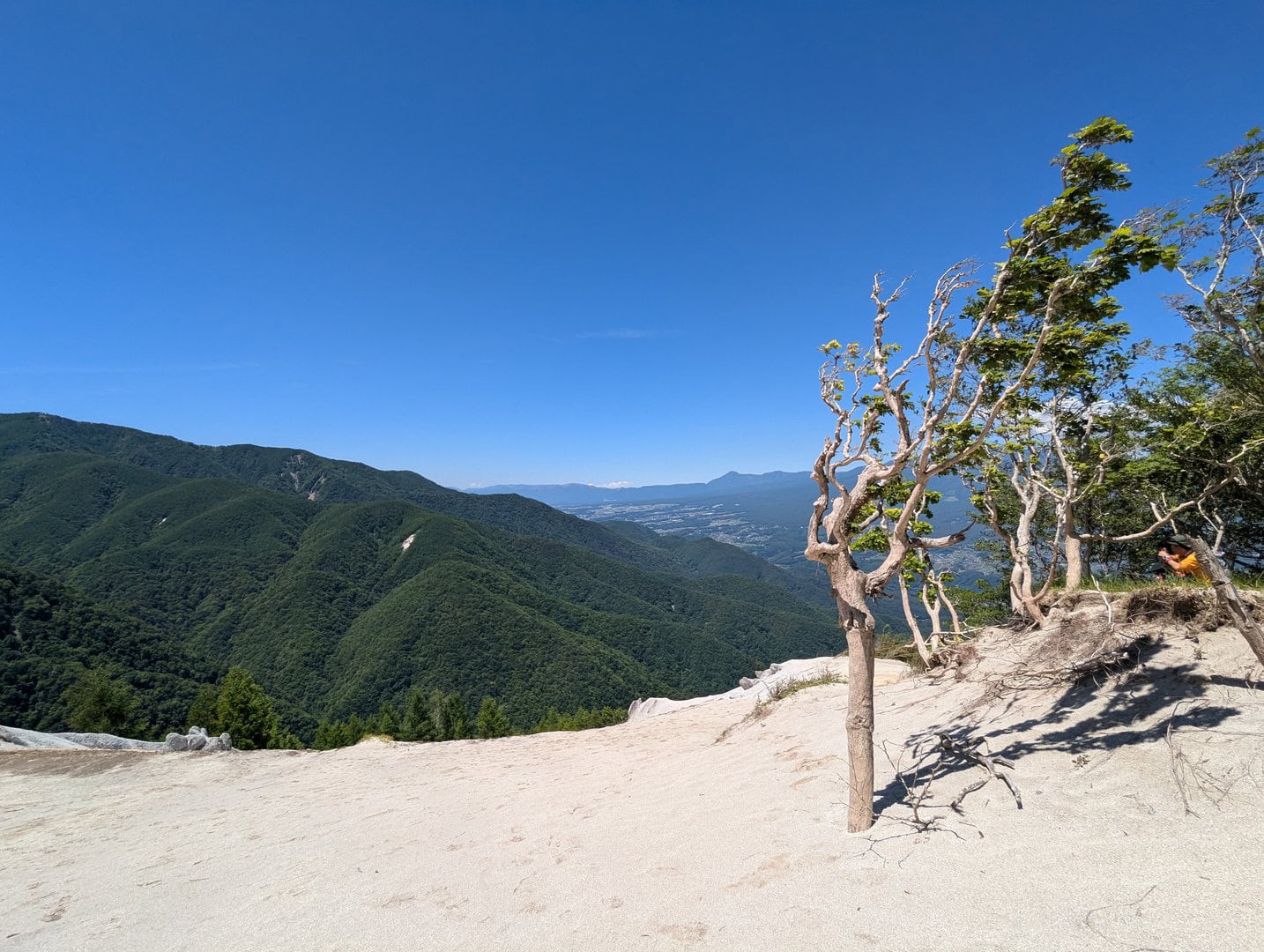
This is an interesting tree that seems to belong to the beach, and it is hard to describe the malaise seeing it on a mountain top.
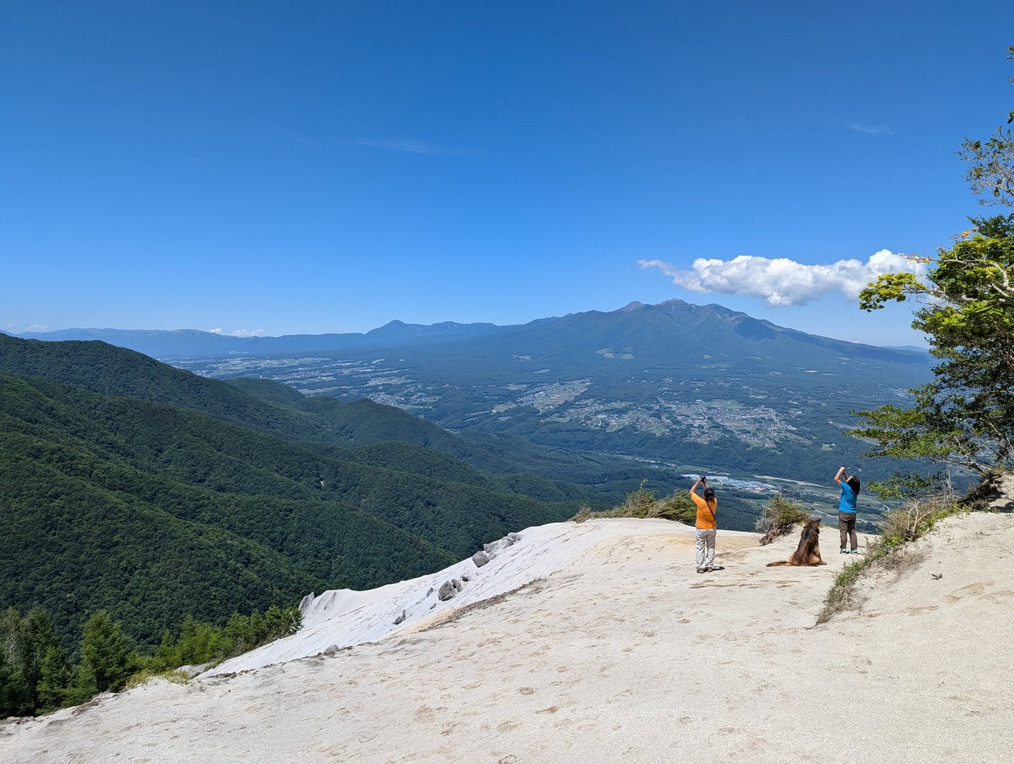
(Day 1) Jun 19, 12:53 PM:
One of the hikers also brought her dog along. Click the image to view it at full screen to see the dog :)
(Day 1) Jun 19, 12:59 PM:
One last shot, at the edge of the "beach"...
And we start our descent!
(Day 1) Jun 19, 13:53 PM:
The scenery on the route back is largely similar.
But I will like to point out the 2 main checkpoints, that is the Hinatayama Yatateishi Parking Lot 日向山矢立石駐車場...
(Day 1) Jun 19, 14:02 PM:
And the short walk along the asphalt road, which, is part of the trekking route, remember?
The red tapes are glaringly obvious to guide you to the correct entrance to go back into the woods to continue your descent.
(Day 1) Jun 19, 14:28 PM:
And with that, we got back to the Ojiragawa Canyon Parking Lot 尾白川渓谷 駐車場 and await the return trip via Mountain Taxi シェア型登山タクシー.