Mount Tenjo 天上山 Hike Itinerary

(Day 1) May 3, 11:25 AM:
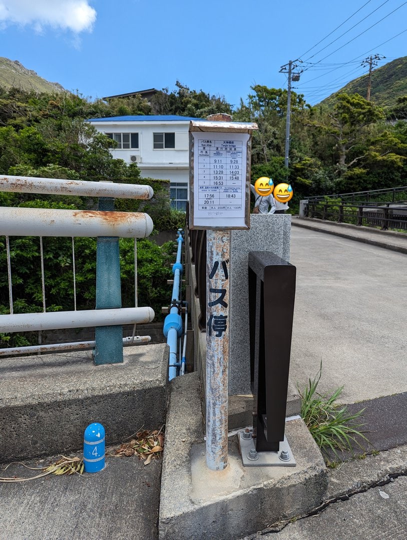
Take a bus to Tenjin Bridge Bus Stop 天神橋前バス停 and cross the bridge. There is only 1 main bus route that ascends the town.
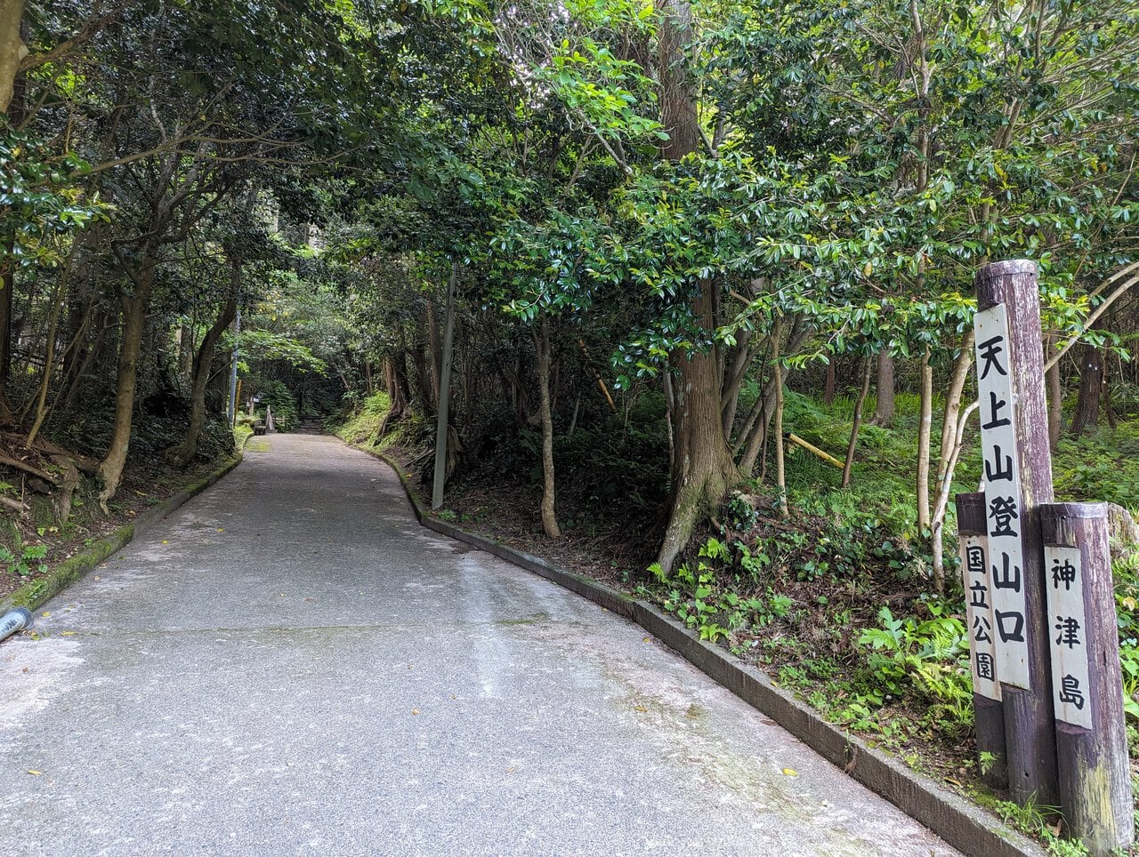
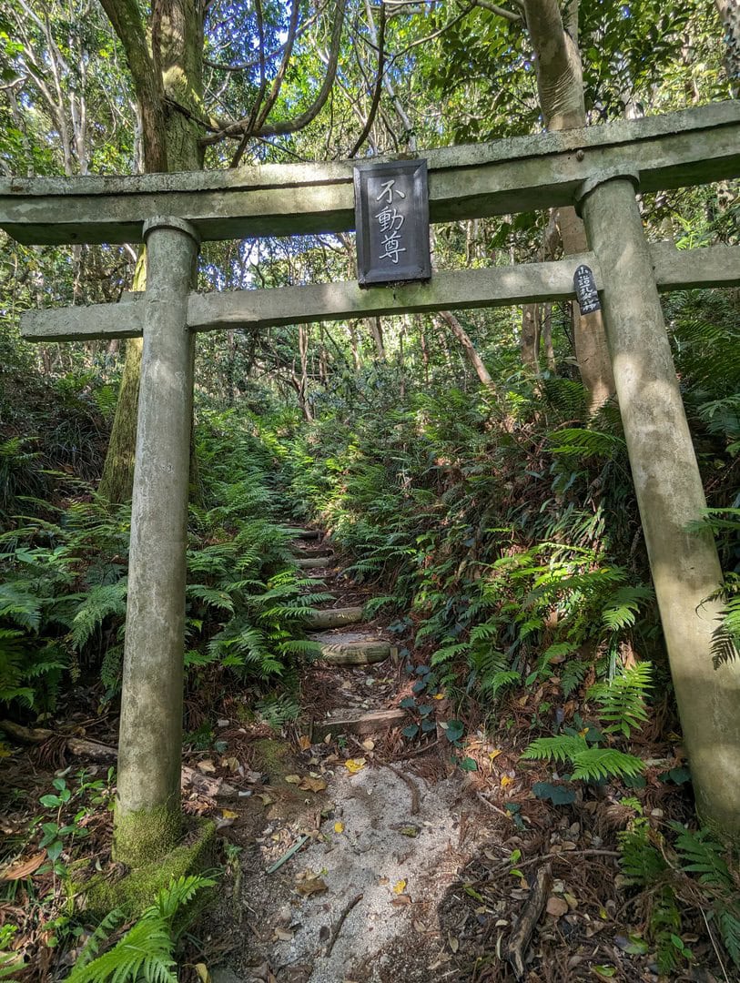
From there, ascend till the eastern trailhead into Mount Tenjo 天上山, the Kuroshima Trailhead 黒島登山口.
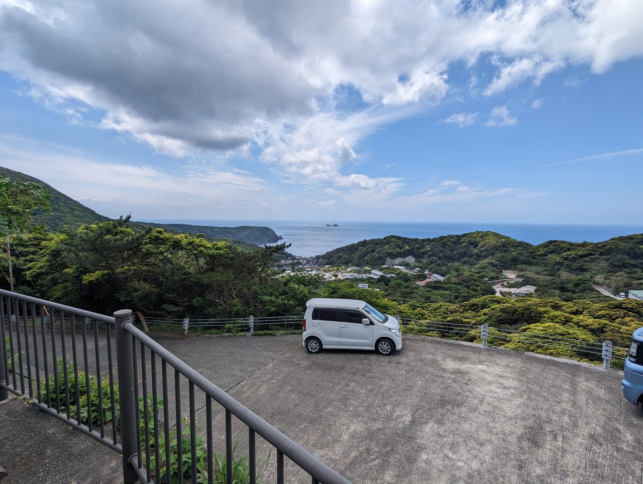
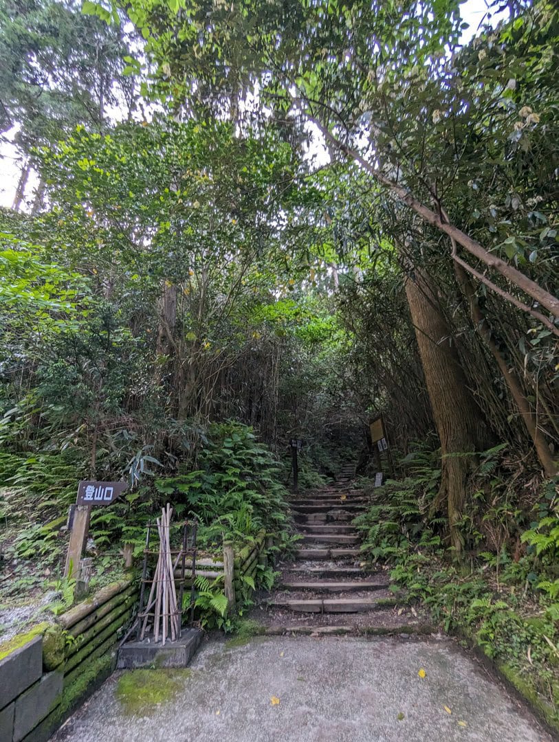
(Day 1) May 3, 12:07 PM:
There is a toilet and an unofficial parking area at Kuroshima Trailhead 黒島登山口. We begin our embark from there.
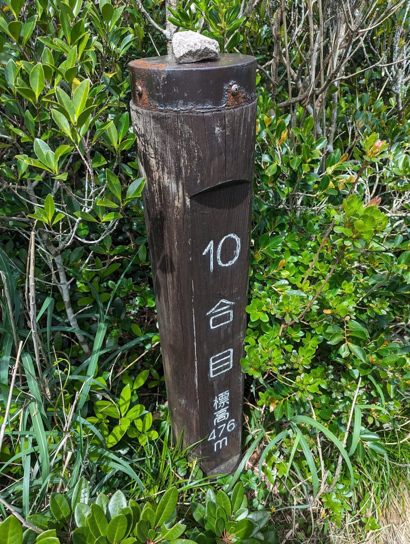
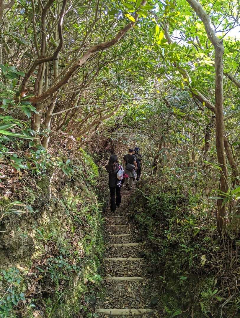
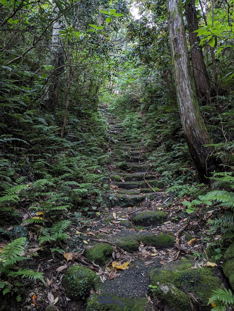
The ascent had almost the same views. So it would be good to pay more attention to where you are walking as snakes and lizards can be seen along the hike up.
They were too fast to disappear for me to take any photos of them, but trust me, they are there, so be careful.
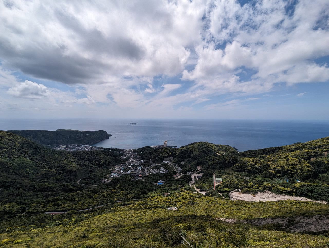
(Day 1) May 3, 13:02 PM:
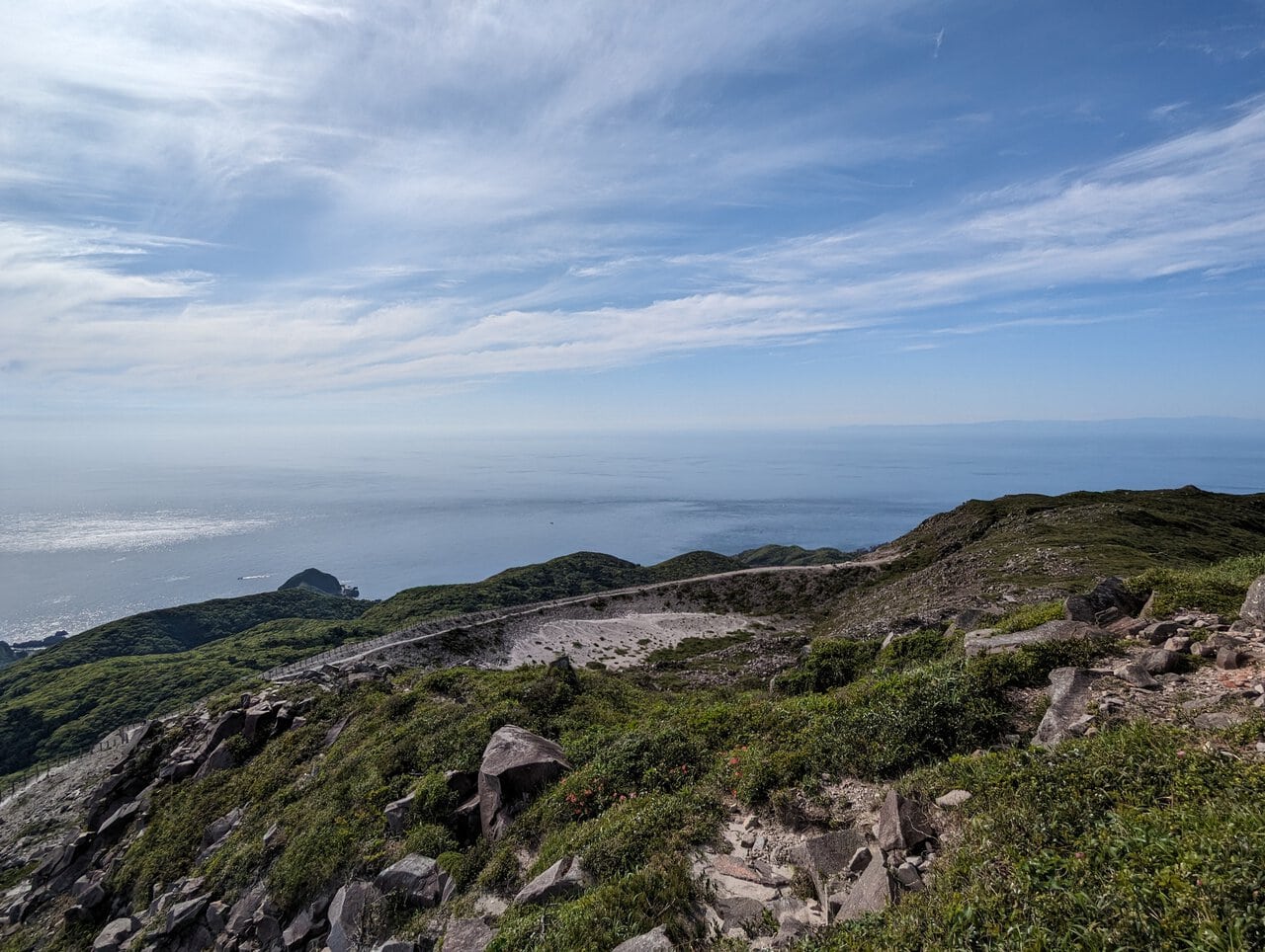
Nearing the top. The view starts to look different.
(Day 1) May 3, 13:10 PM:
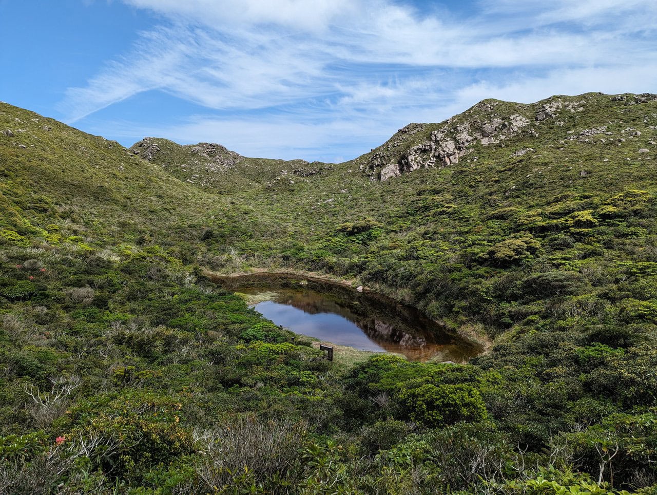
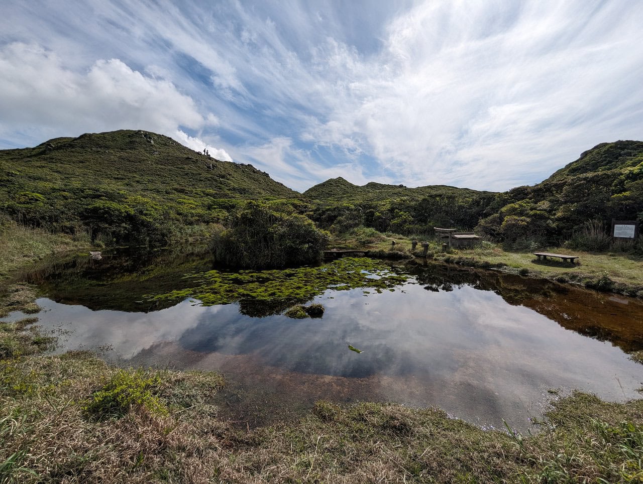
We headed for the Chiyo Pond 千代池 for our lunch, instead of the Kuroshima Lookout 黒島展望台 due to time and fatigue concerns.
If you come during summer, the pond and its surrounding will look much lusher, but the weather will probably be much hotter than in May.
(Day 1) May 3, 13:54 PM:
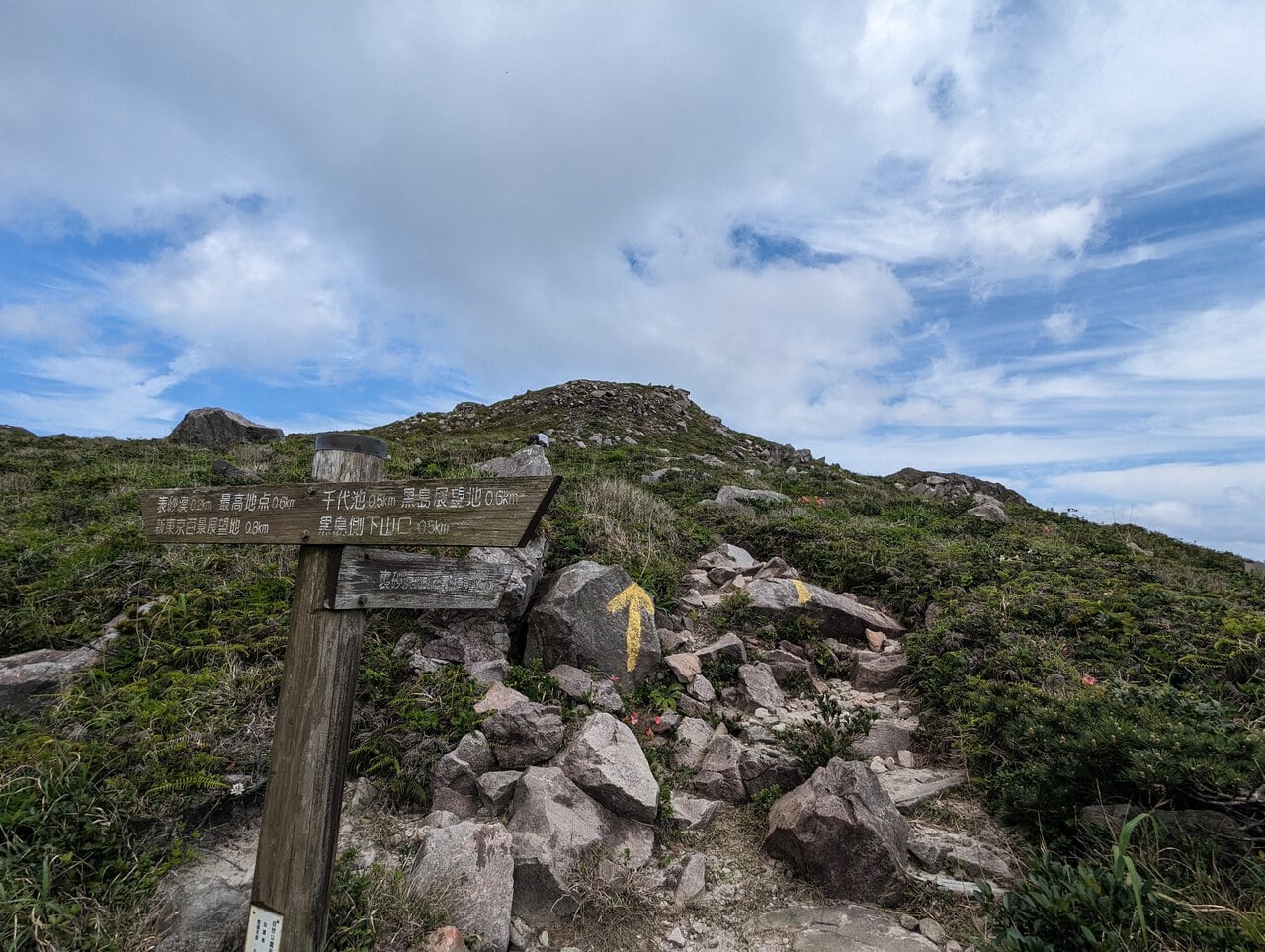
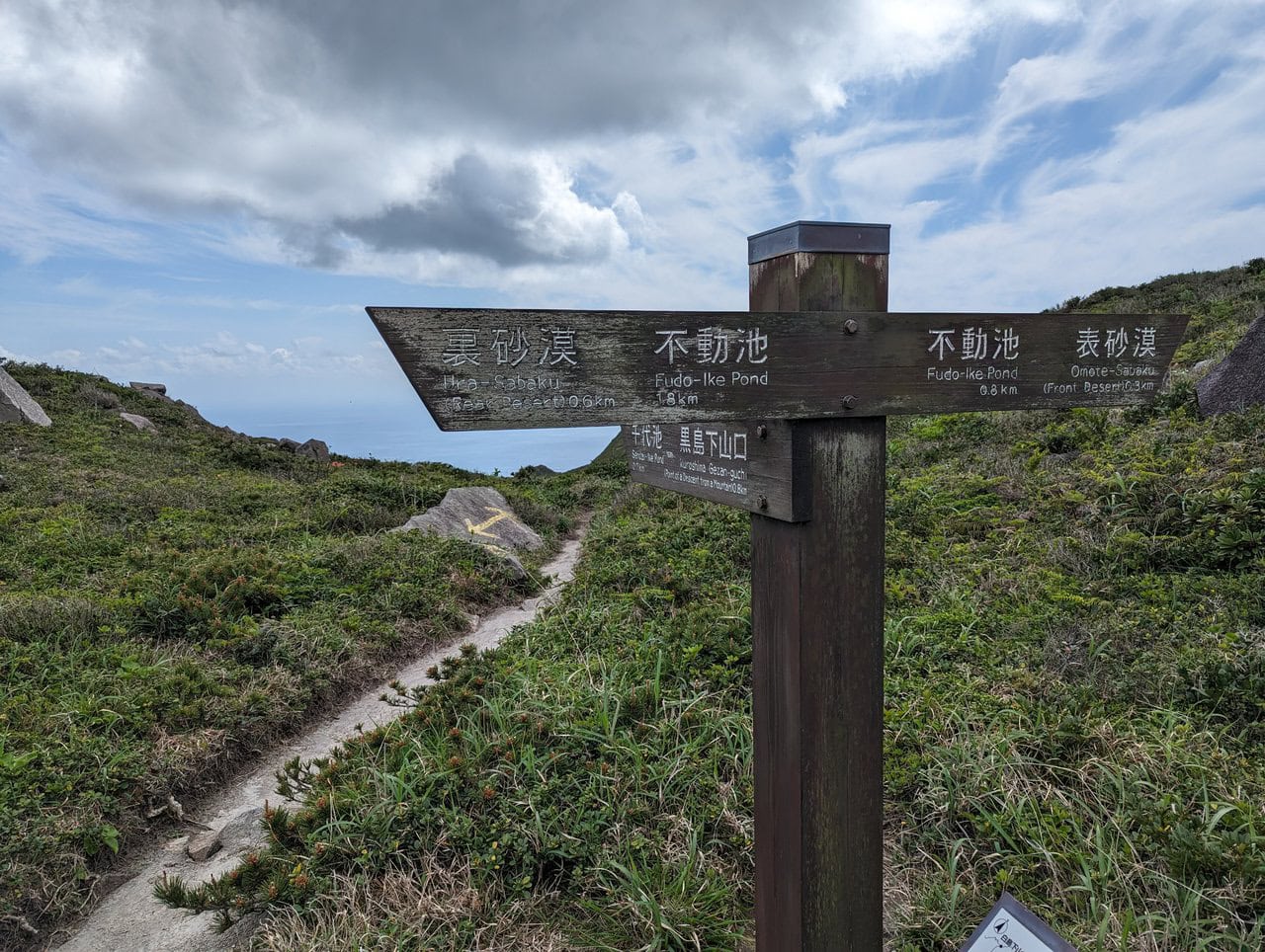
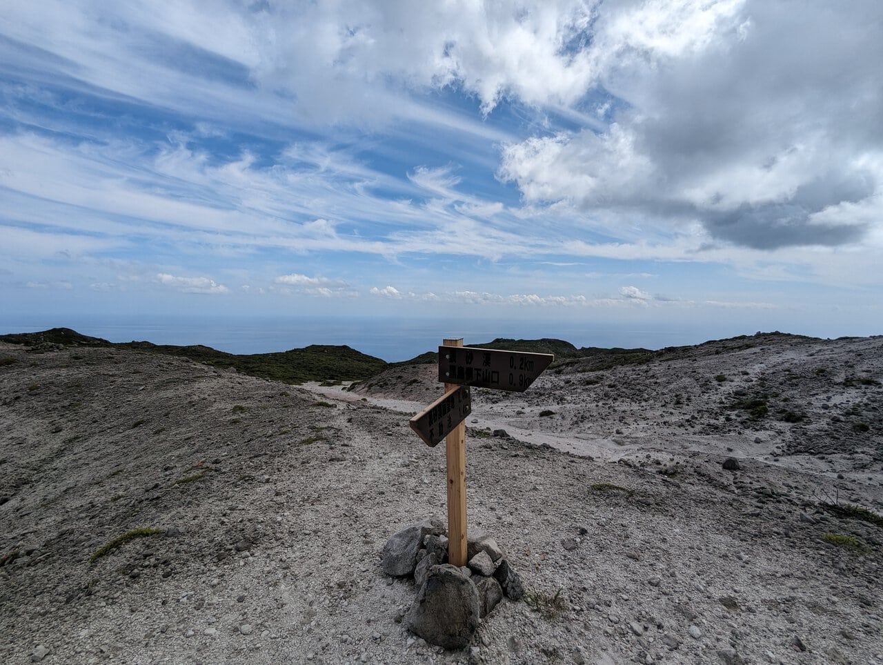
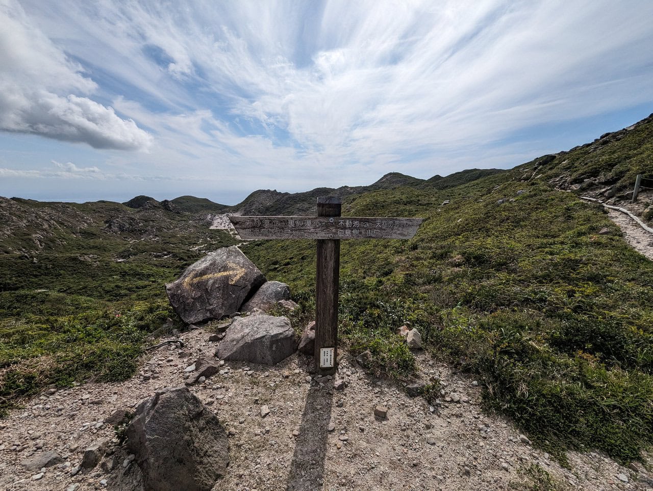
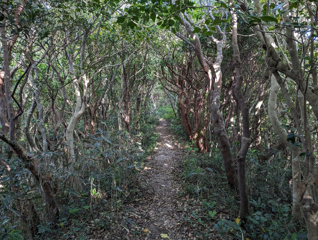
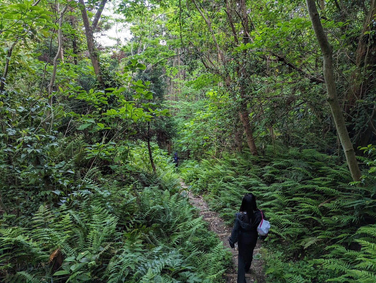
Along the way, there are lots of signboards to point you to where you want to go. No worries about getting lost.
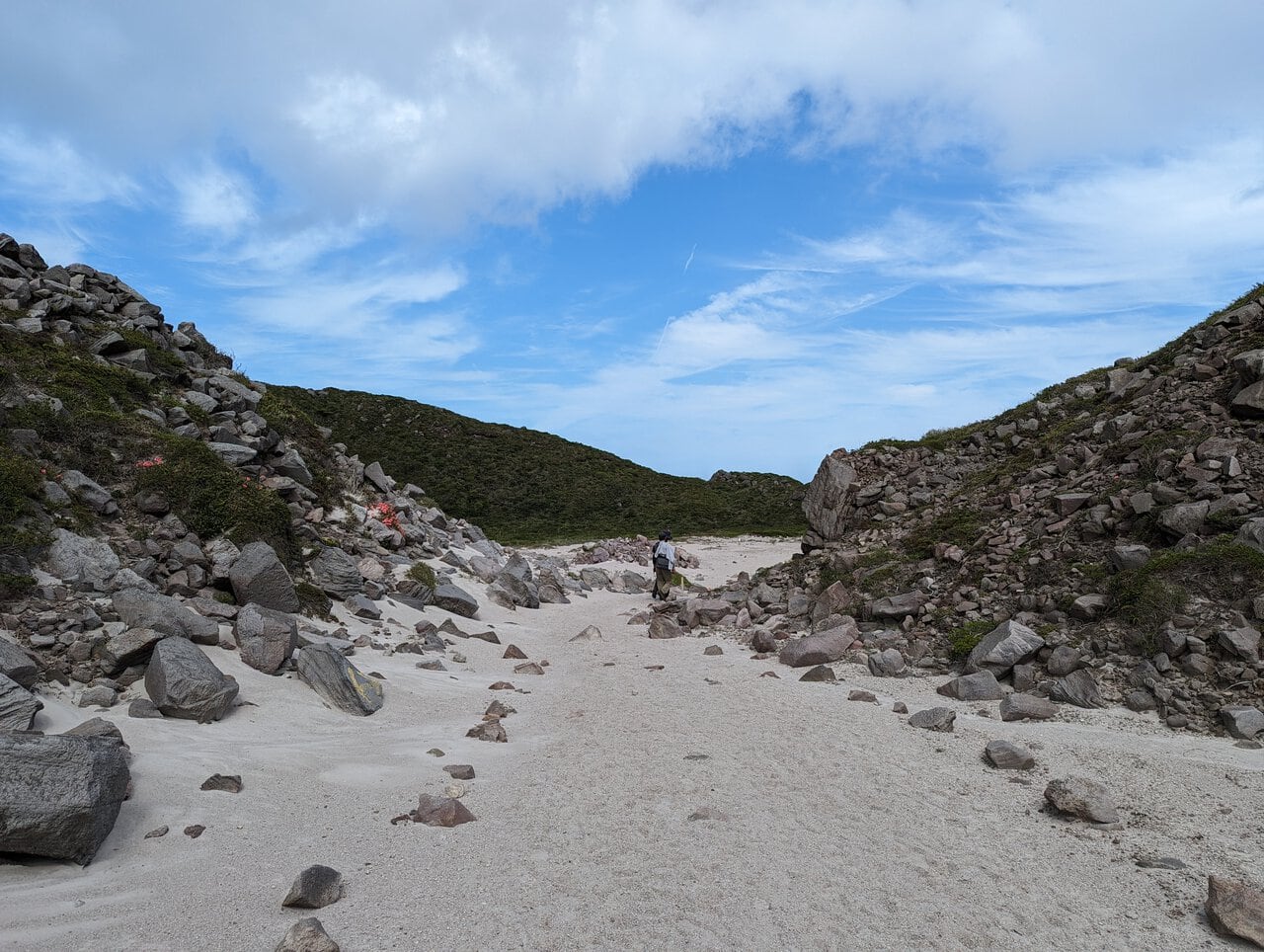
(Day 1) May 3, 14:00 PM:
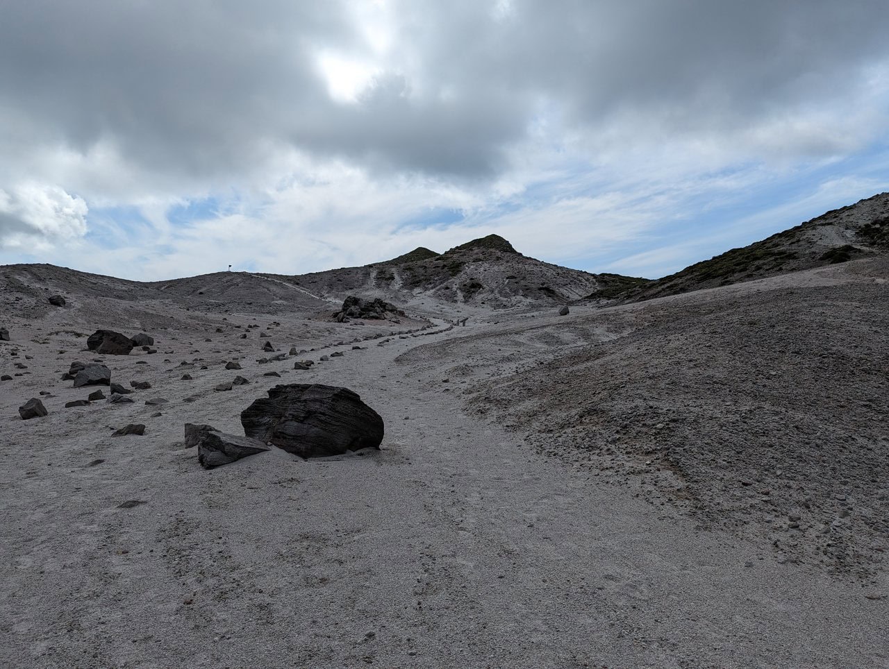
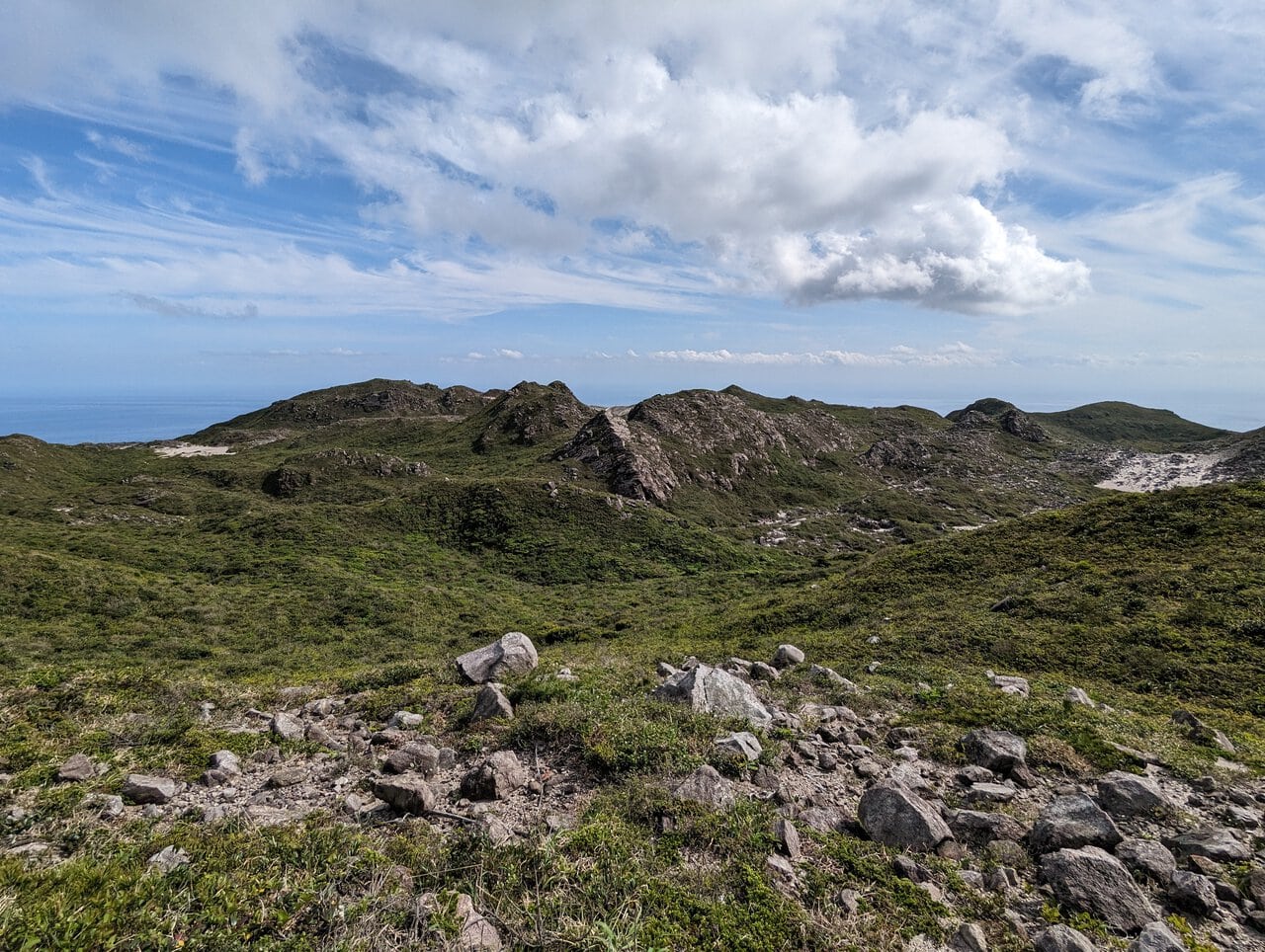
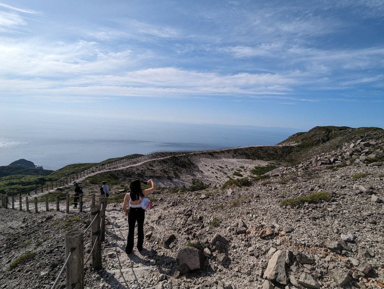
We enter Ura Sabaku 裏砂漠 after a short hike from Chiyo Pond 千代池 after lunch.
Ura Sabaku 裏砂漠 is one of the 2 deserts on the top of Mount Tenjo 天上山.
Yes, a desert.
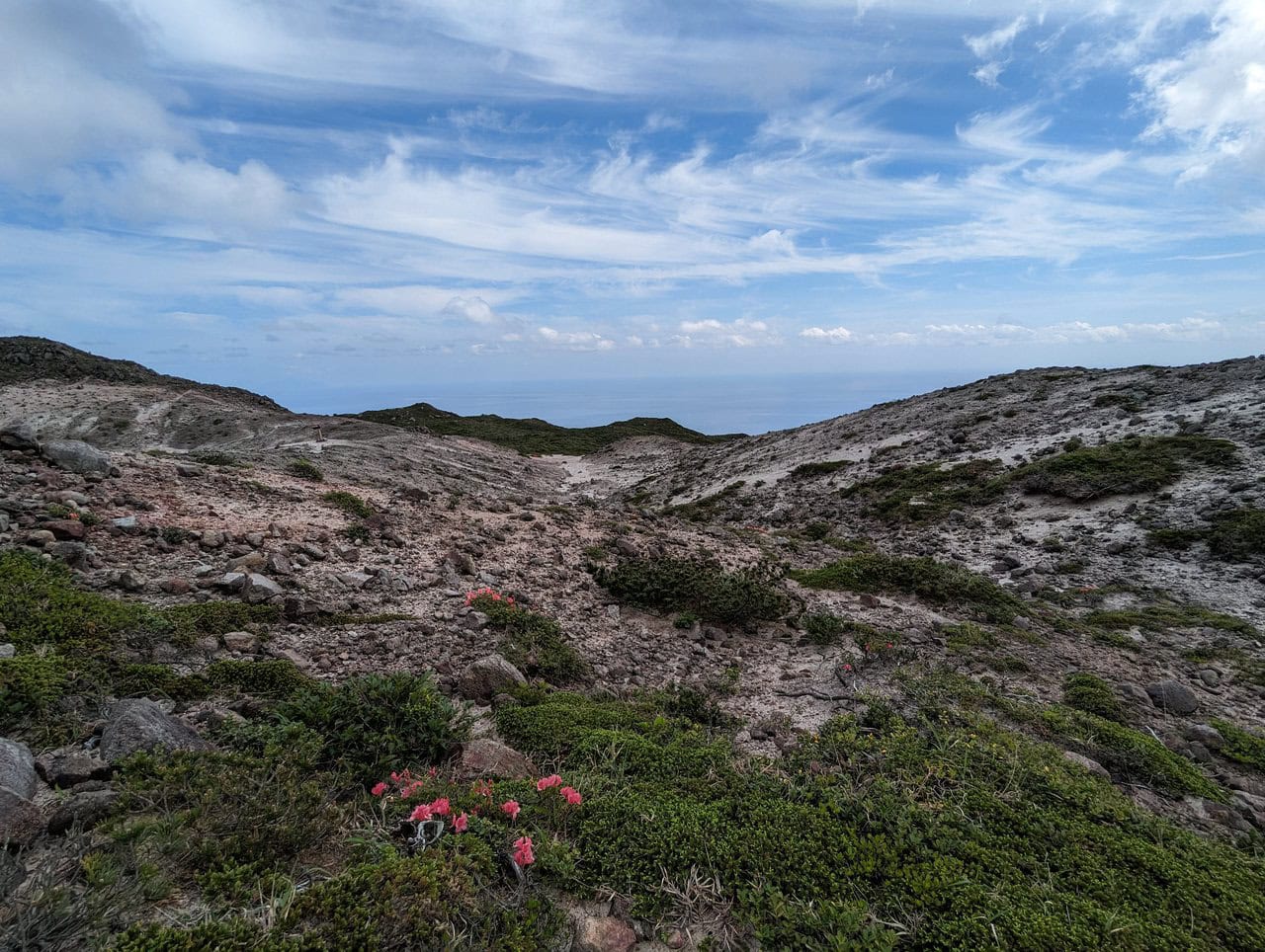
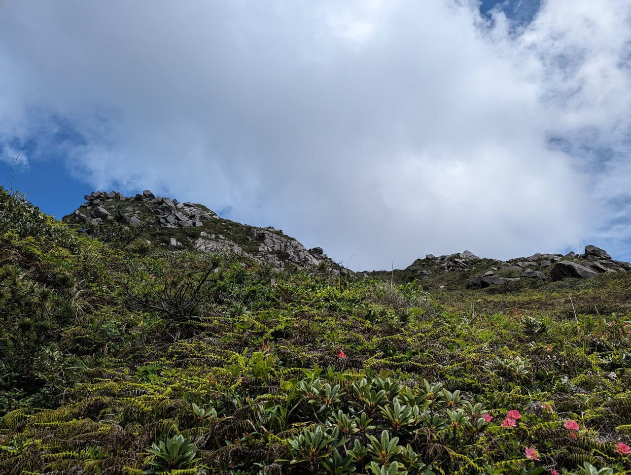
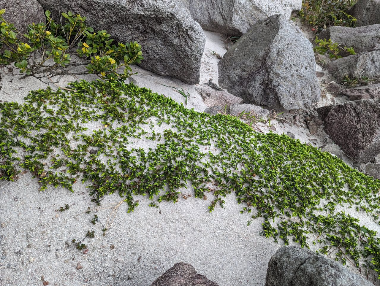
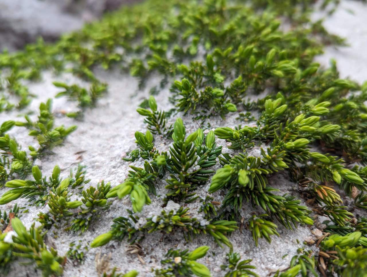
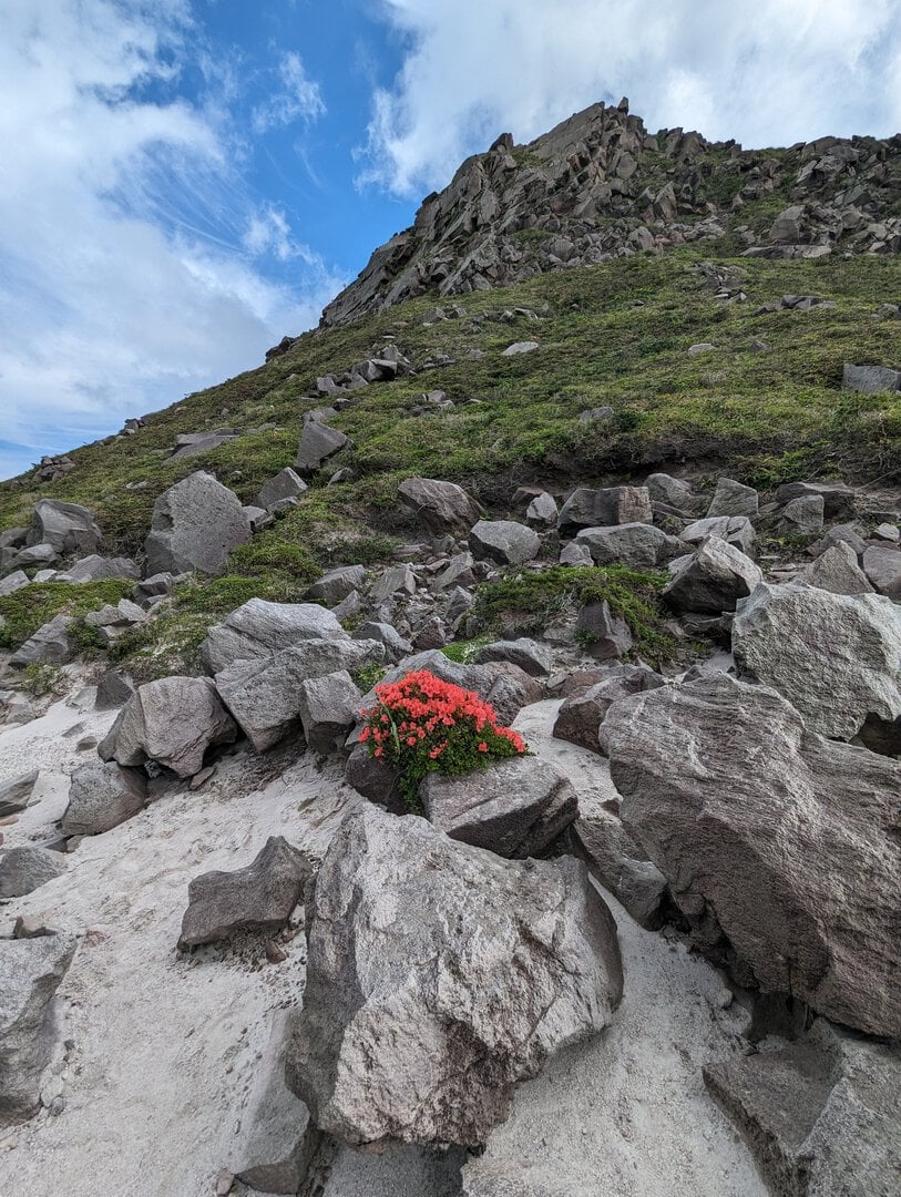
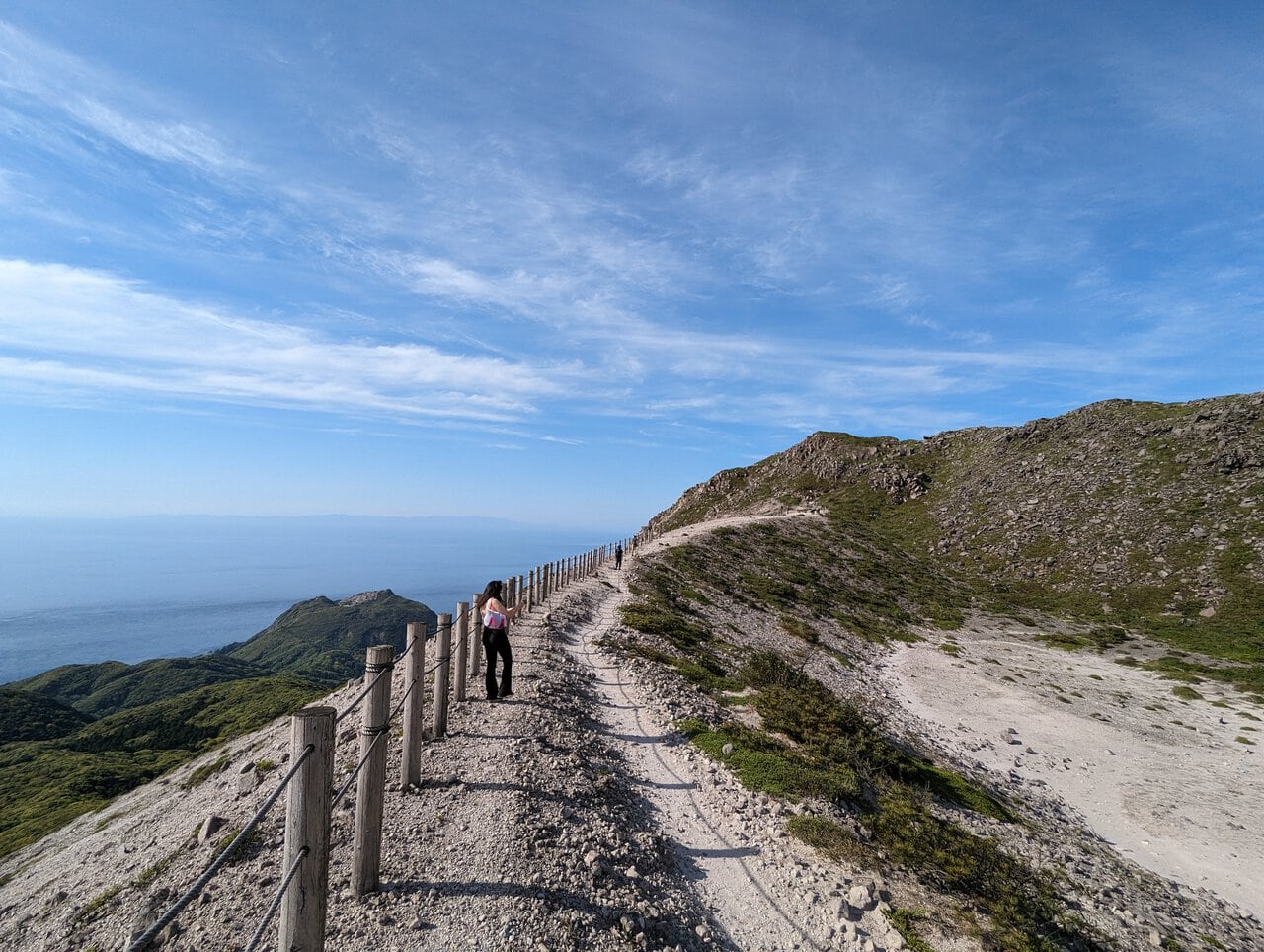
(Day 1) May 3, 14:10 PM:
And we are not alone.
Interesting and beautiful species of flora were spotted along the way.
In different seasons of the year, different species of flowers bloom in this desert, cladding the landscape in a gorgeous gown of hues.
(Day 1) May 3, 14:25 PM:
Translation missing: en.mount_tenjo_hiking_guide.PXL_20240503_052527358
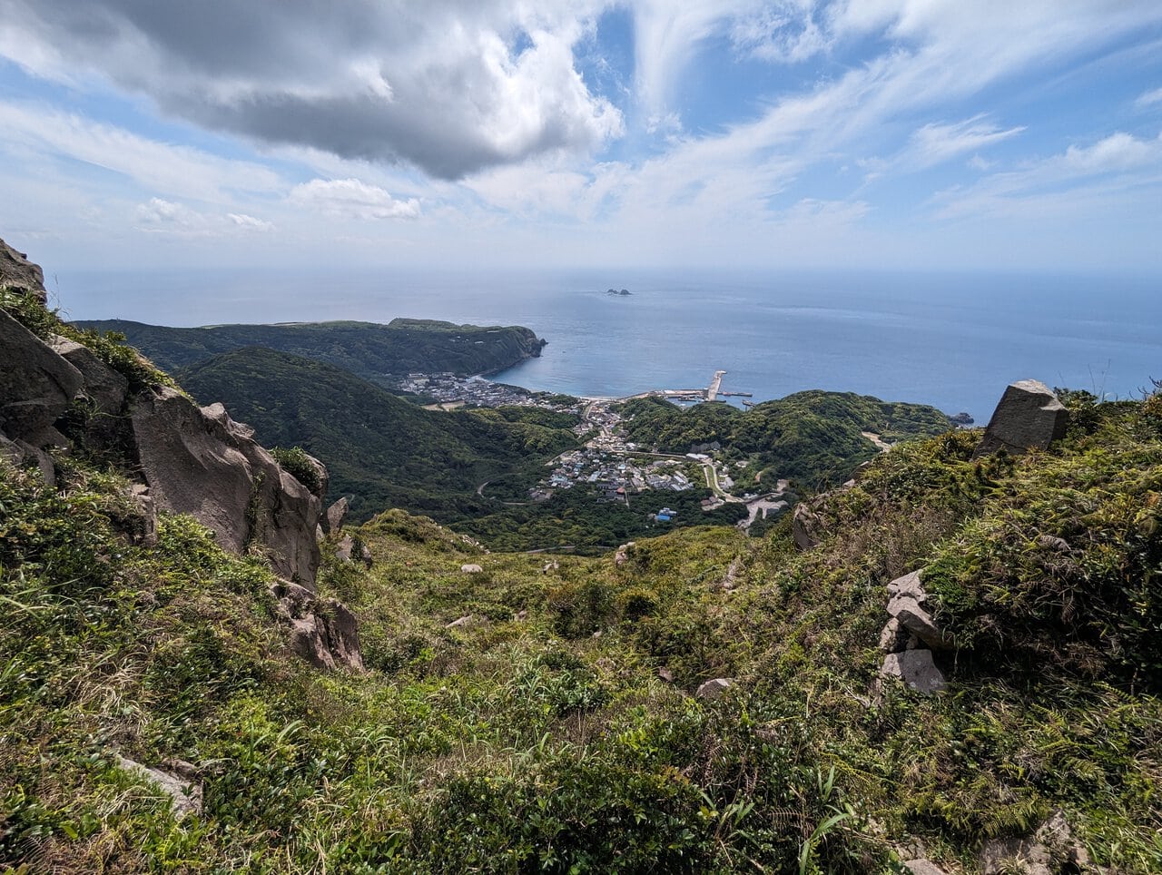
(Day 1) May 3, 14:34 PM:
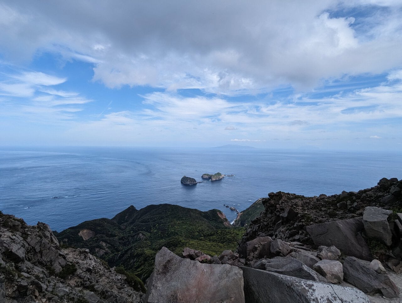
Probably my most favorite spot in this whole trip, the Ura-Sabaku Lookout 裏砂漠展望地.
(Day 1) May 3, 14:49 PM:
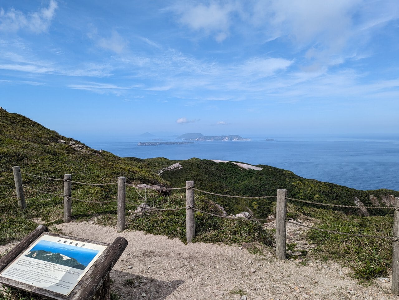
Yet another lookout to feed our eyes, the Shin-Tokyo Hyakkei Lookout 新東京百景展望地.
(Day 1) May 3, 14:56 PM:
The Mount Tenjo Fudo Pond 天上山不動池 in its less glorious days. This lake is famous for resembling a heart shape when view from overhead. Check out the pictures uploaded onto Google maps!
(Day 1) May 3, 15:04 PM:
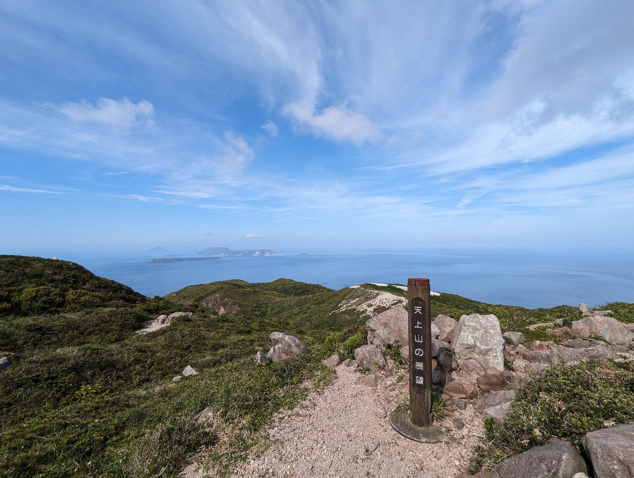
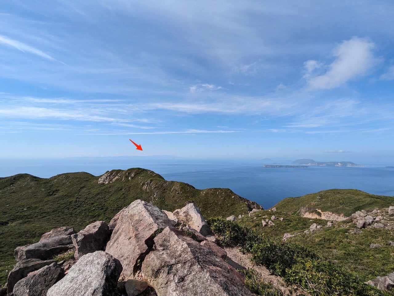
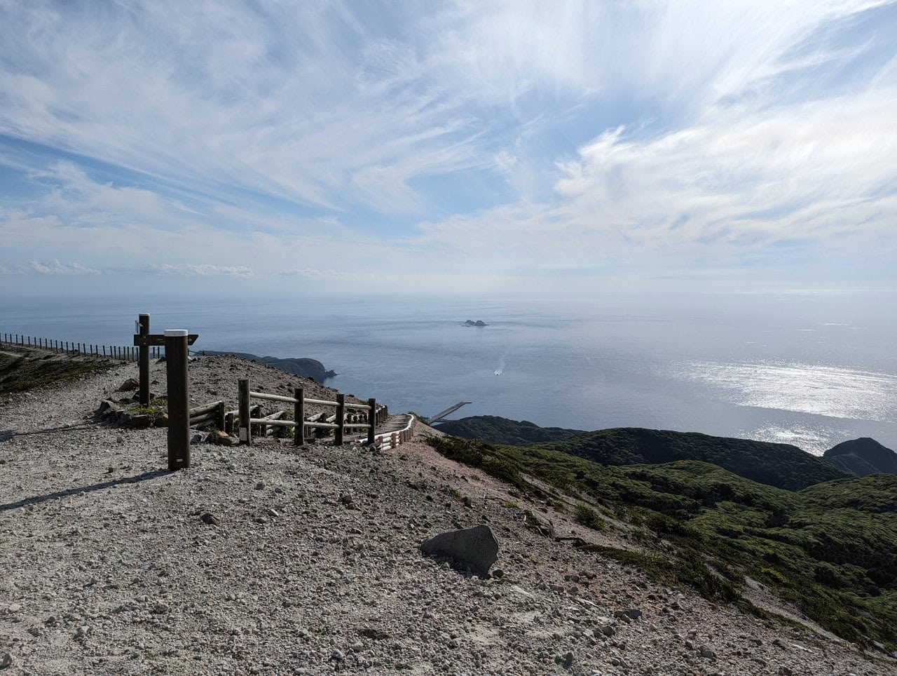
Another lookout point that overlooks the north-western direction. You can see the various other majestic volcanic islands south of Tokyo, Izu Islands 伊豆諸島.
As well as Mount Fuji 富士山. It's hard to capture in the camera and difficult to make out from the picture, but being there in real life makes one dawn on the grand scale of Mount Fuji 富士山. Let's see if you can spot it.

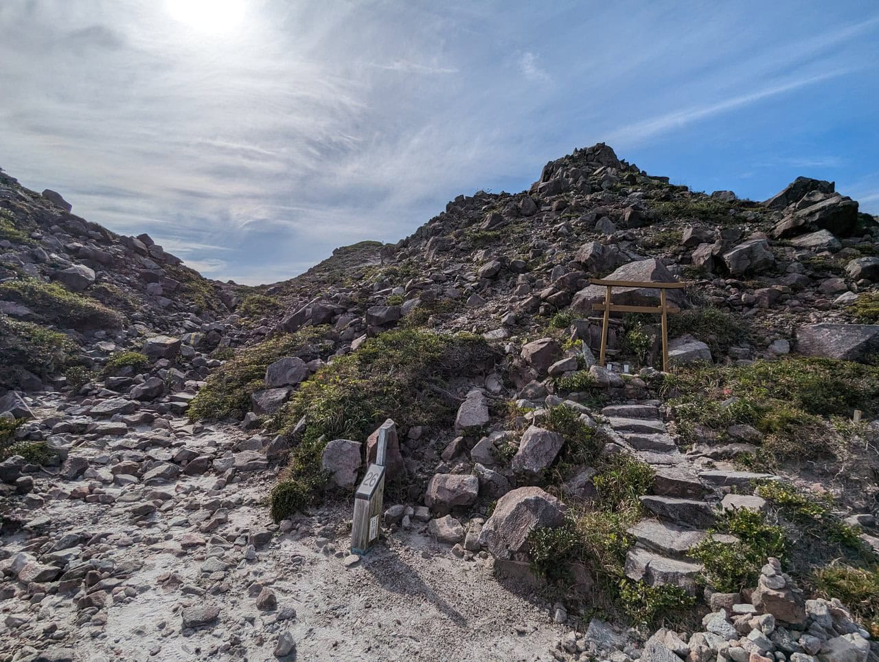
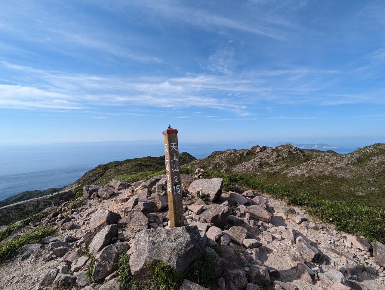
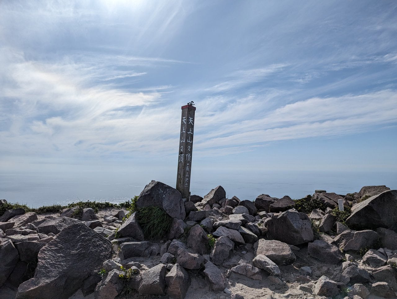
(Day 1) May 3, 15:25 PM:
The peak of Mount Tenjo 天上山!
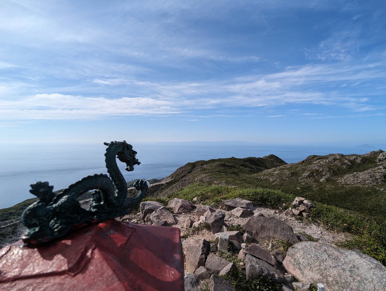
(Day 1) May 3, 15:30 PM:
The dragon statue faces the north. Let's see if you can spot Mount Fuji 富士山 again. No clues this time!
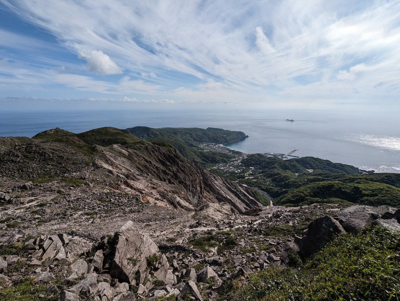
(Day 1) May 3, 15:35 PM:
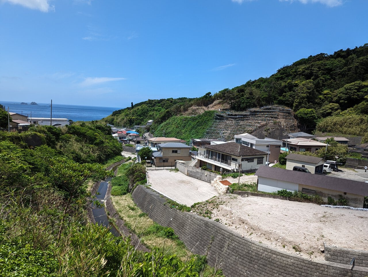
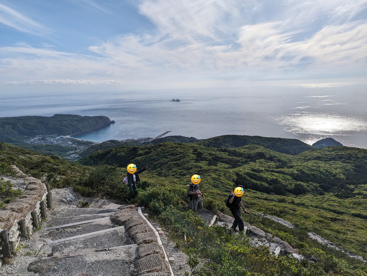
The descent starts the landscape of the village in the background.
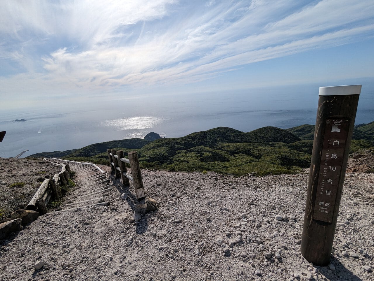
(Day 1) May 3, 16:38 PM:
Finally, we exit from Shiroshima Trailhead 白島登山口 on the west.