Mount Kita-dake 北岳 and Shirane Sanzan 白峰三山 Hike Itinerary

(Day 1) Jul 28, 04:12 AM:
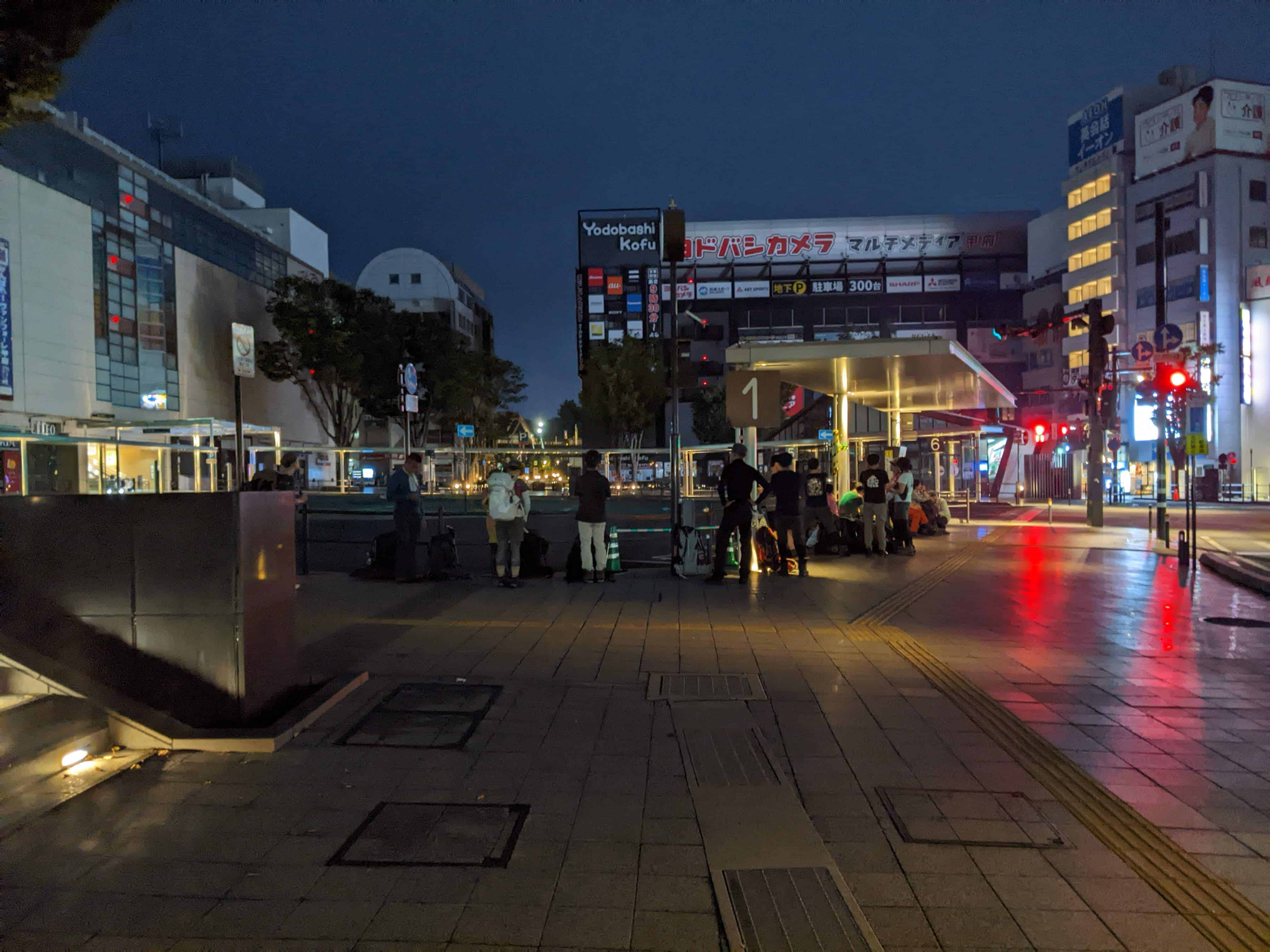
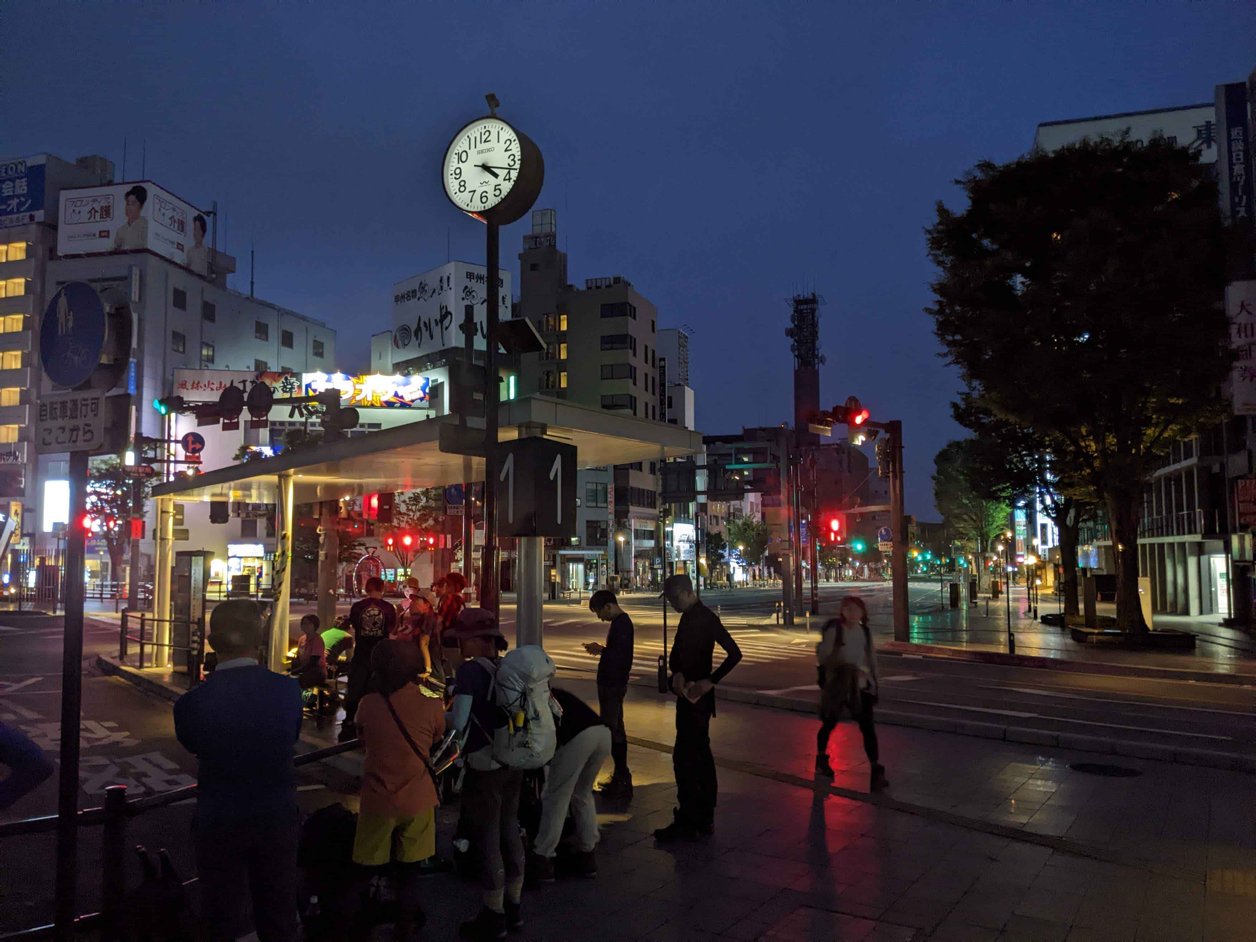
I took the first bus of the Kofu - Hirogawara Line 甲府-広河原線 that departs from Kofu Station 甲府駅.
The place to board is the Kofu Station South Exit Bus Terminal Platform 1 甲府駅南口バスターミナル1番のりば. As you can see, it is already pretty crowded in the morning.
Bring along some cash to pay for an assistant ticket.
For other timings of the Kofu - Hirogawara Line 甲府-広河原線, refer to our article on "How to go to Mount Kita-dake 北岳".
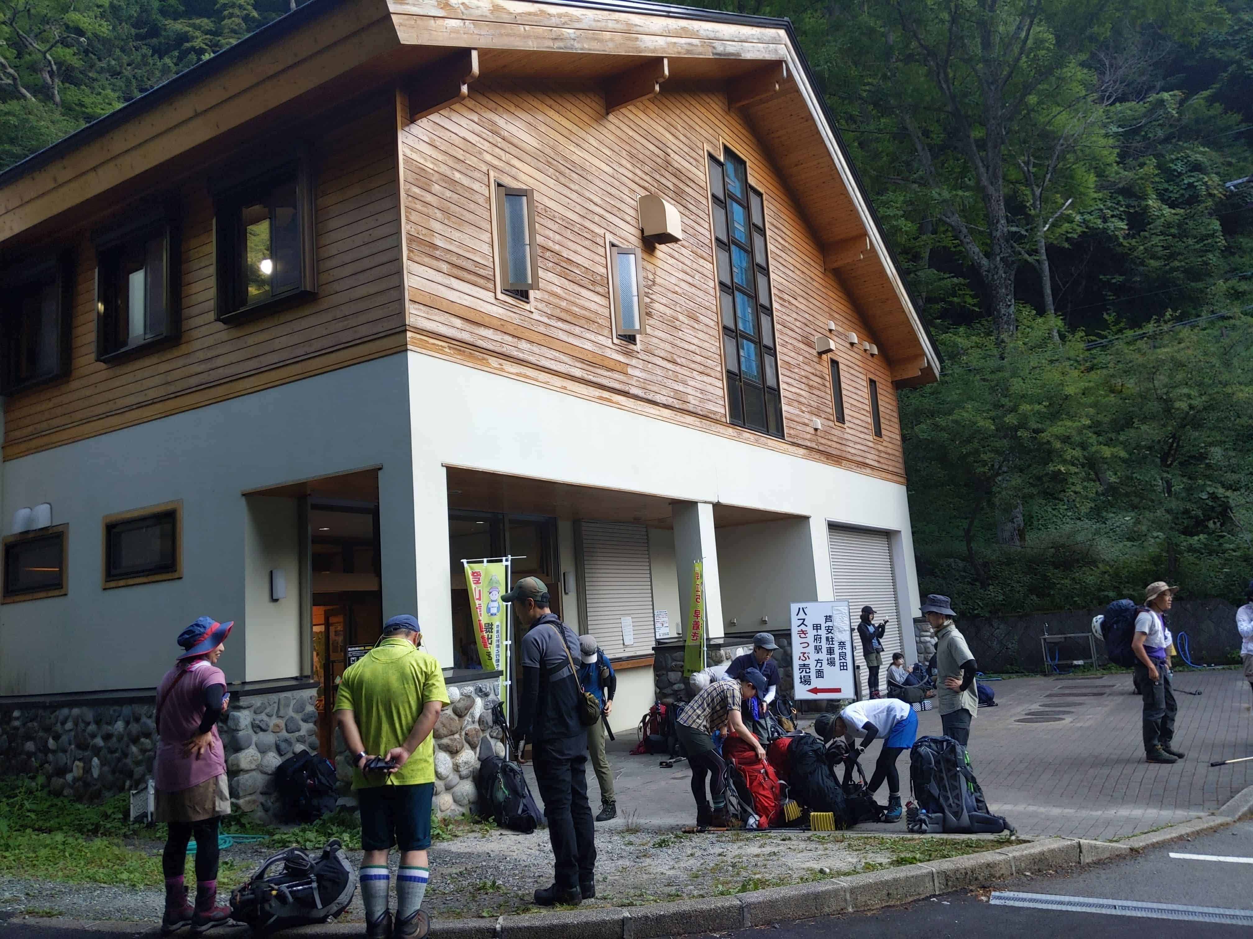
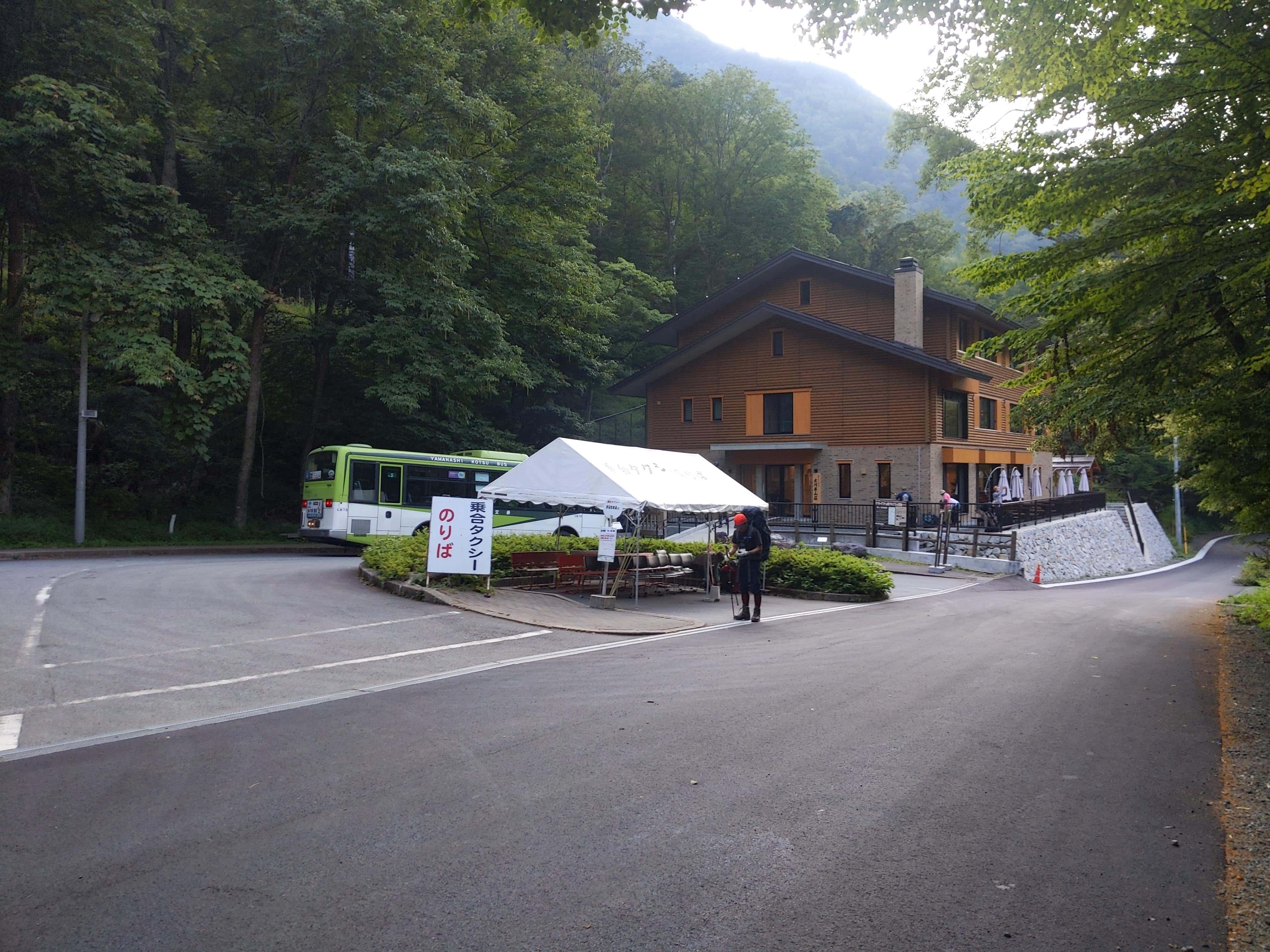
(Day 1) Jul 28, 06:36 AM:
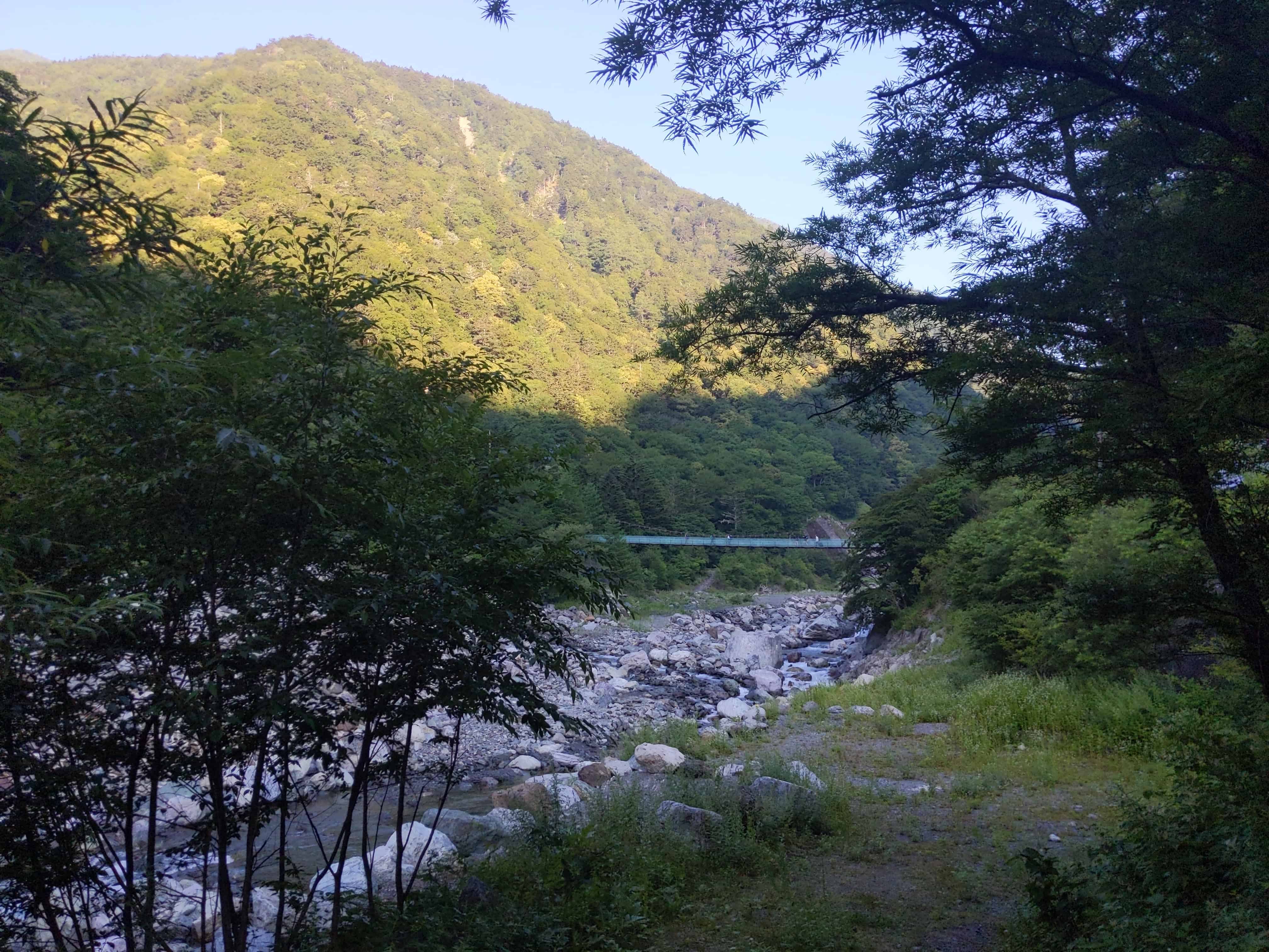
Arrival at Hirogawara Sanso 広河原山荘
(Day 1) Jul 28, 06:37 AM:
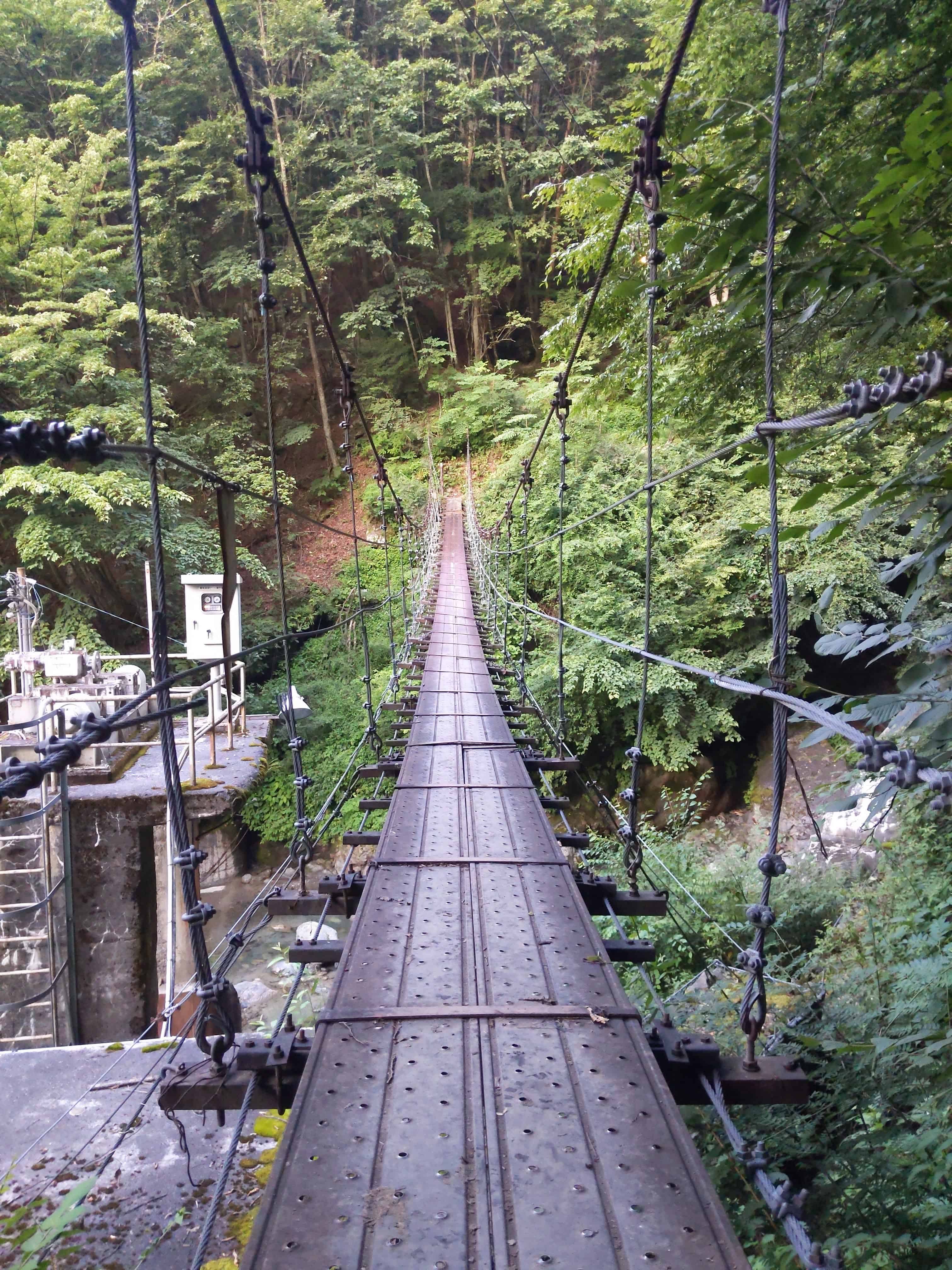
The bridge to cross to start the ascent of Mount Kita-dake 北岳 on the other side of the river.
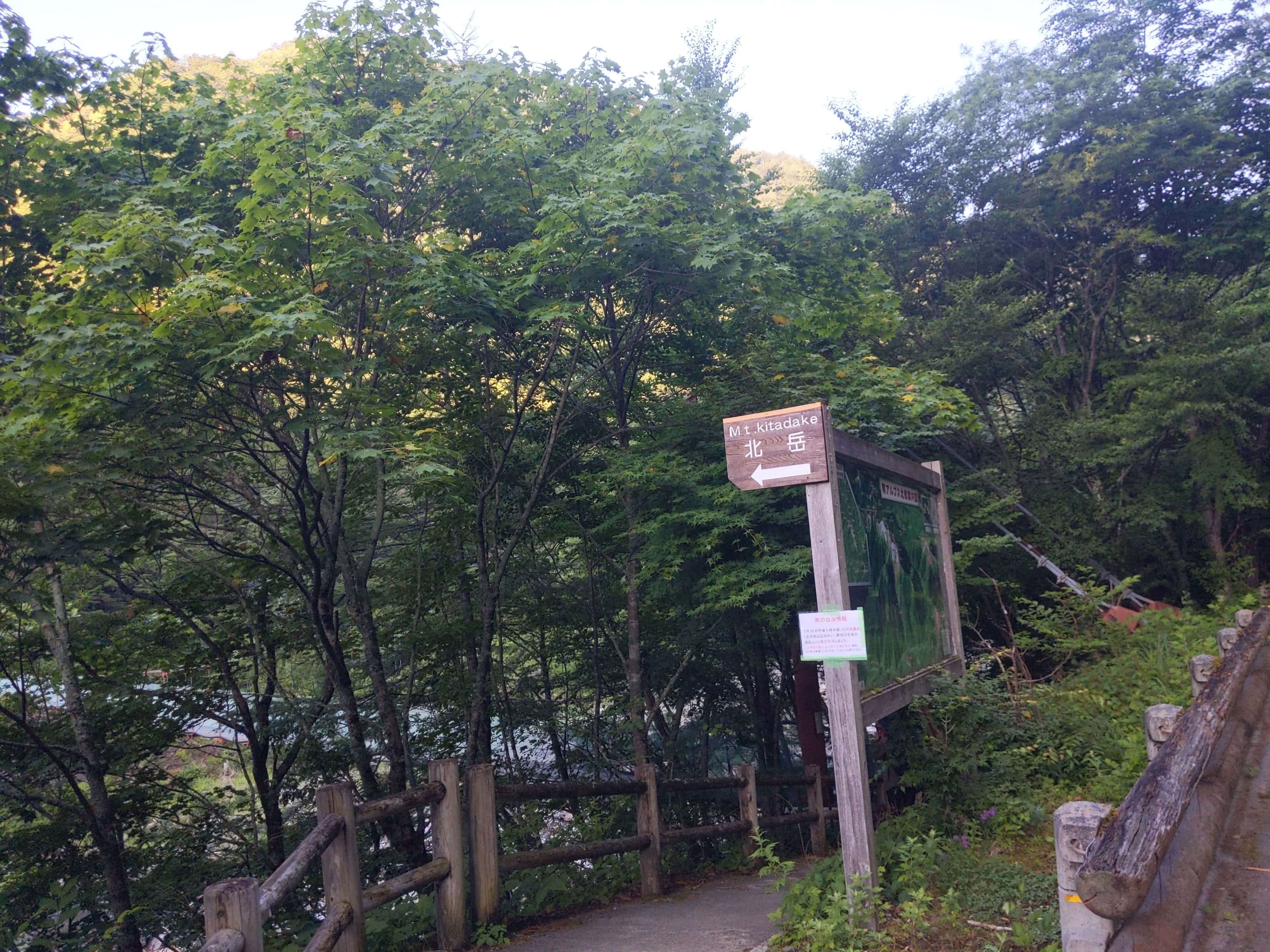
(Day 1) Jul 28, 06:39 AM:
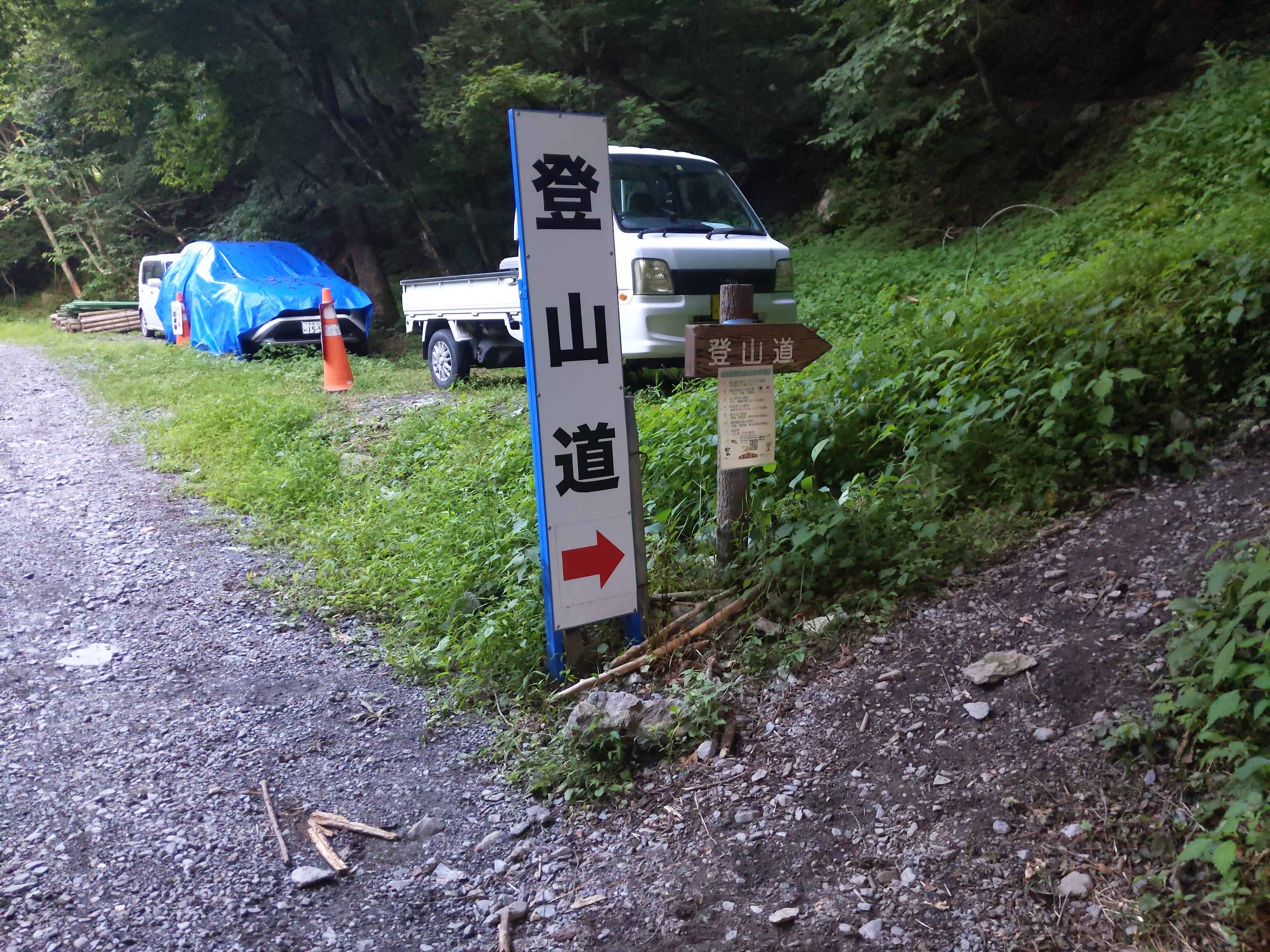
Turn left at this point. Don't go beyond it!
Or you can just follow the crowd.
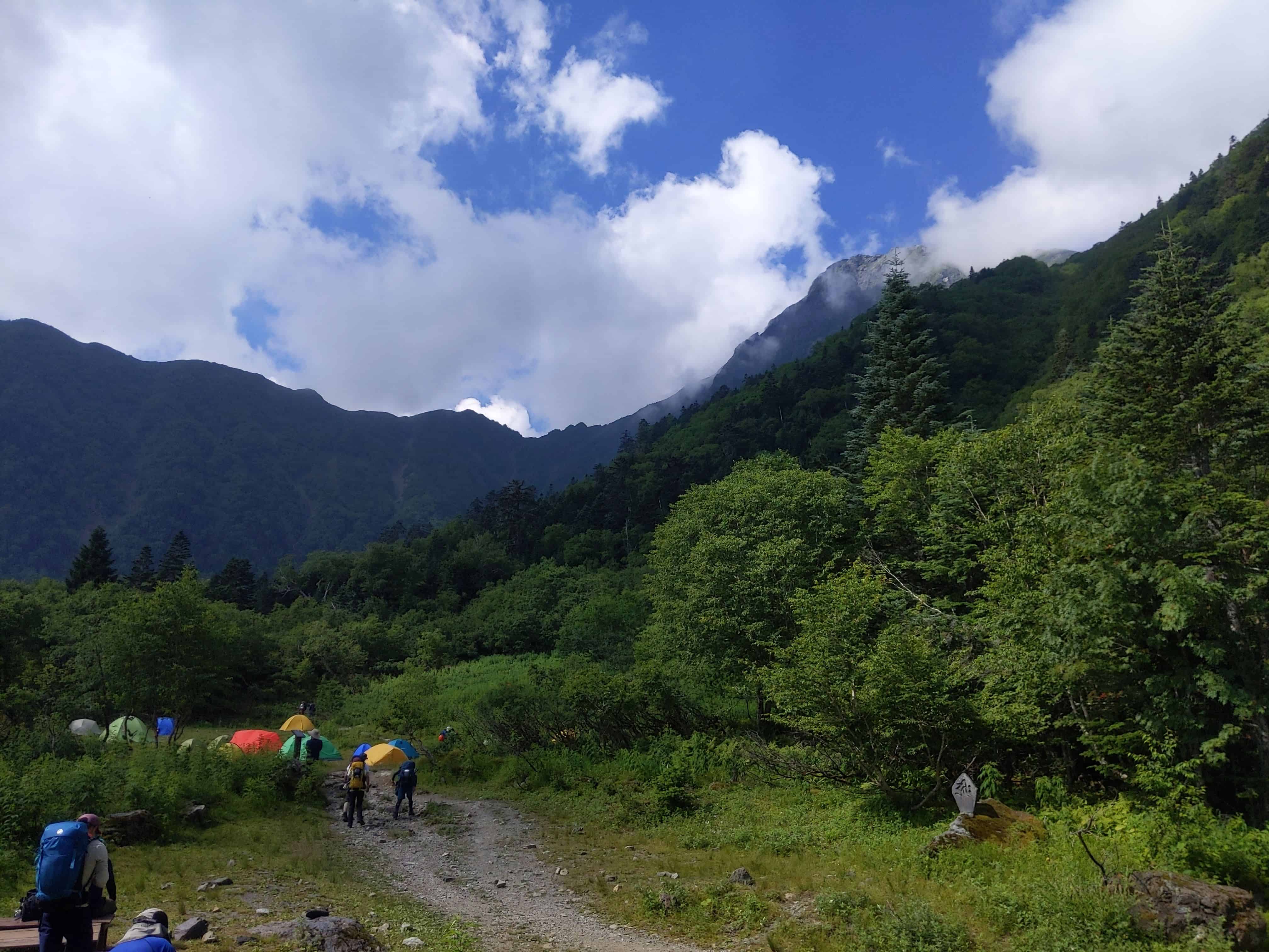
(Day 1) Jul 28, 08:16 AM:
Some nice views along the way to Shirane Oike Hut 白根御池小屋, the first fork in the route.
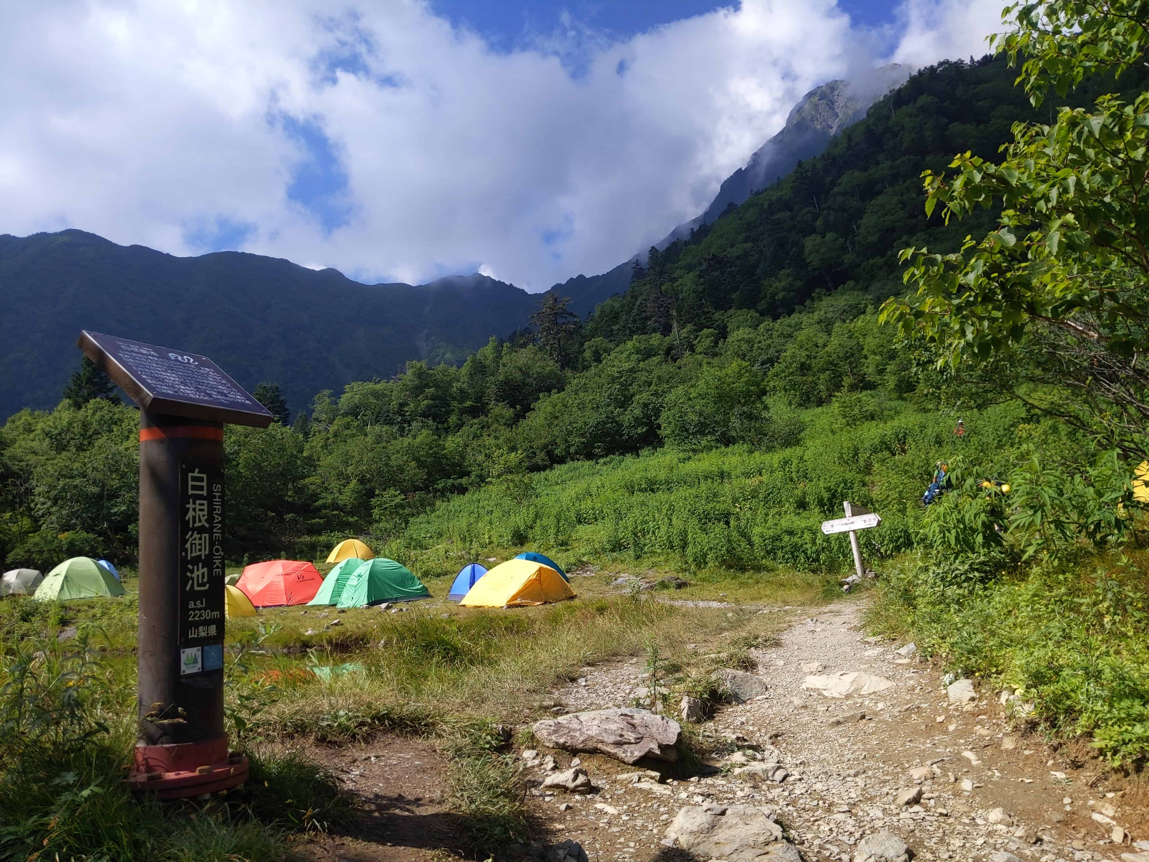
(Day 1) Jul 28, 08:26 AM:
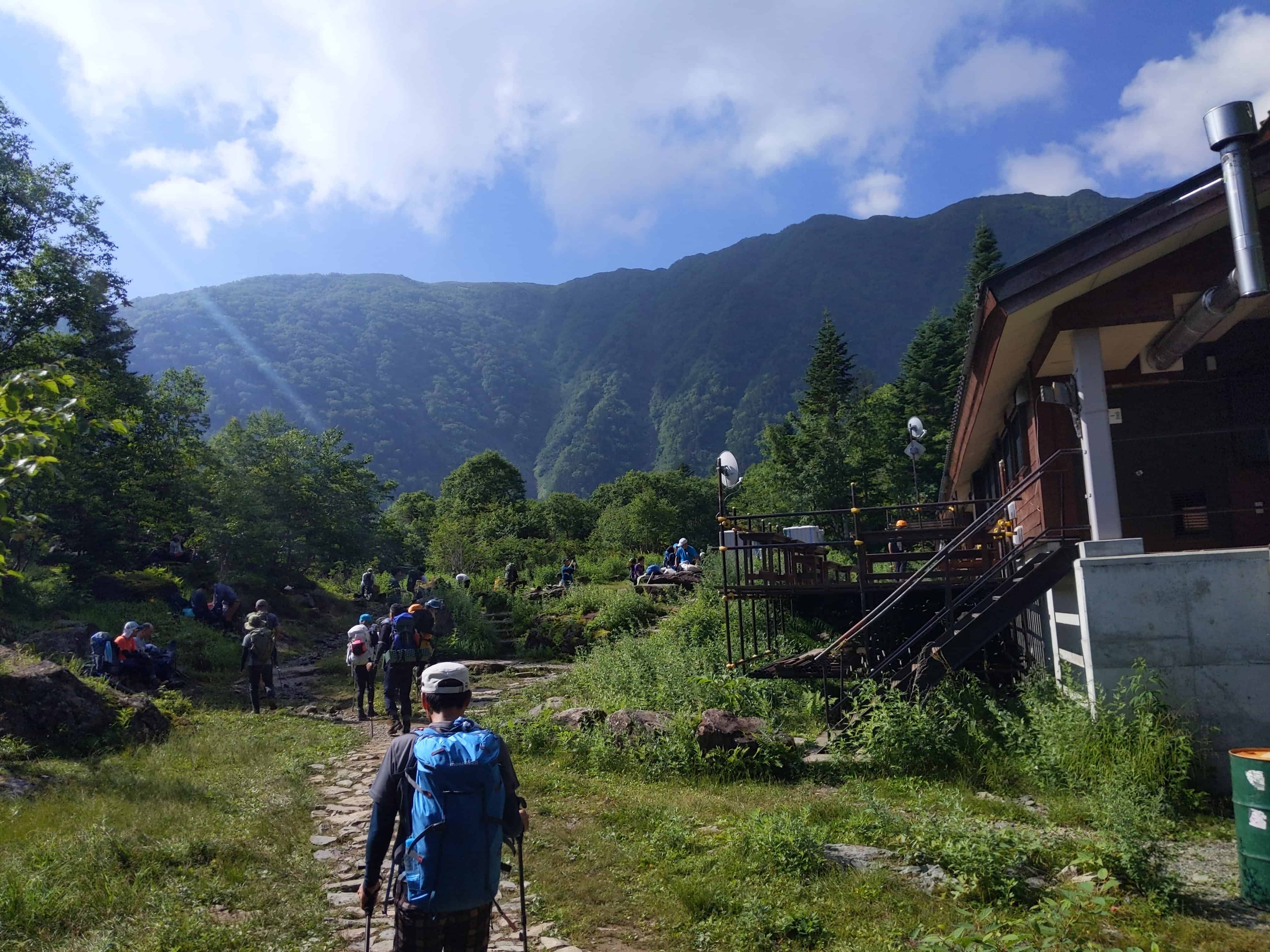
Arriving at Shirane Oike Hut 白根御池小屋 after a fairly gentle ascent. This spot offers an opportunity to refuel with some food. It's worth noting, though, that if you're among the early birds who took the first bus, you might find the shop still closed upon your arrival.
(Day 1) Jul 28, 08:57 AM:
The peak of Mount Kita-dake 北岳 lurks behind the clouds.
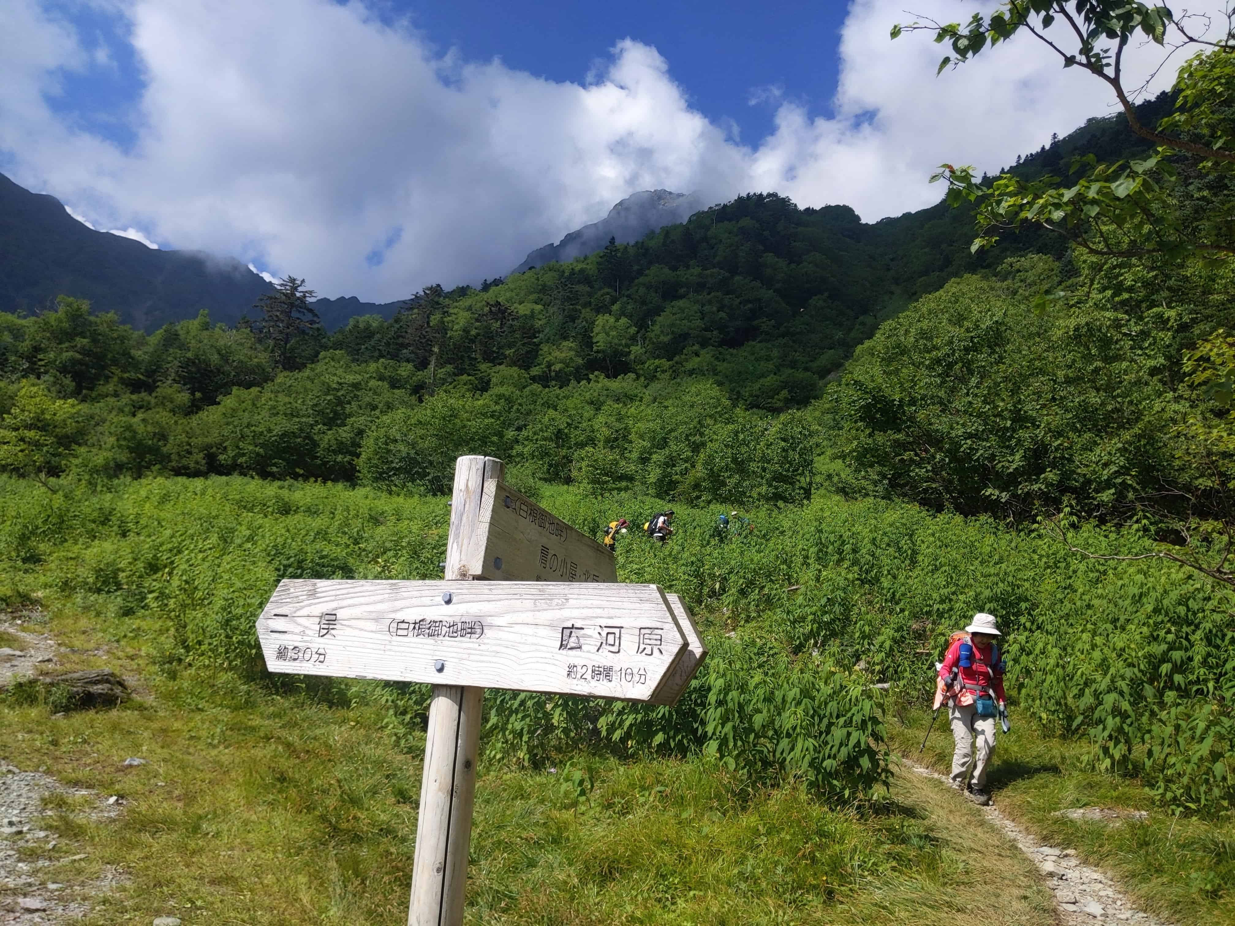
(Day 1) Jul 28, 08:58 AM:
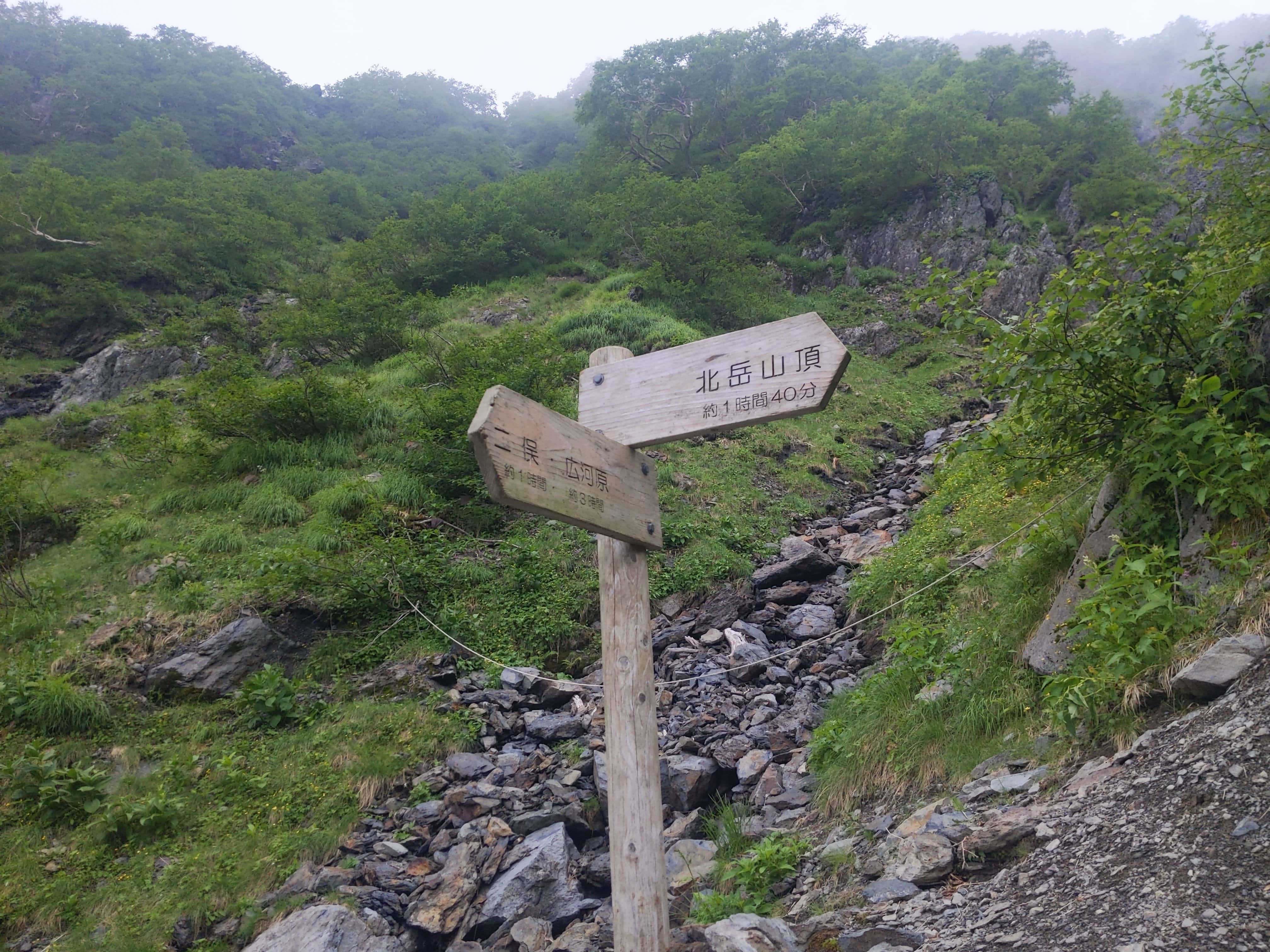
At the fork.
I took the left path as I planned to set up my tent at Kita-dake Sanso 北岳山荘 first before venturing to the peak (unfortunately, the afternoon brought rain, postponing my visit to the peak until tomorrow). The left path will take me straight to Kita-dake Sanso 北岳山荘
Opting for the left path and an overnight stay at Kita-dake Sanso 北岳山荘 turned out to be a strategic choice. It seemed most hikers chose the path to the right, likely heading towards Kita-dake Kata-no-koya 北岳肩の小屋 for their overnight stay. This meant that there could be a bit of a race to claim the best spots to setup tents among them.
Not a problem if you plan to stay overnight in the cabin. 👍
(Day 1) Jul 28, 09:17 AM:
The clouds clear up to reveal the peak of Mount Kita-dake 北岳.
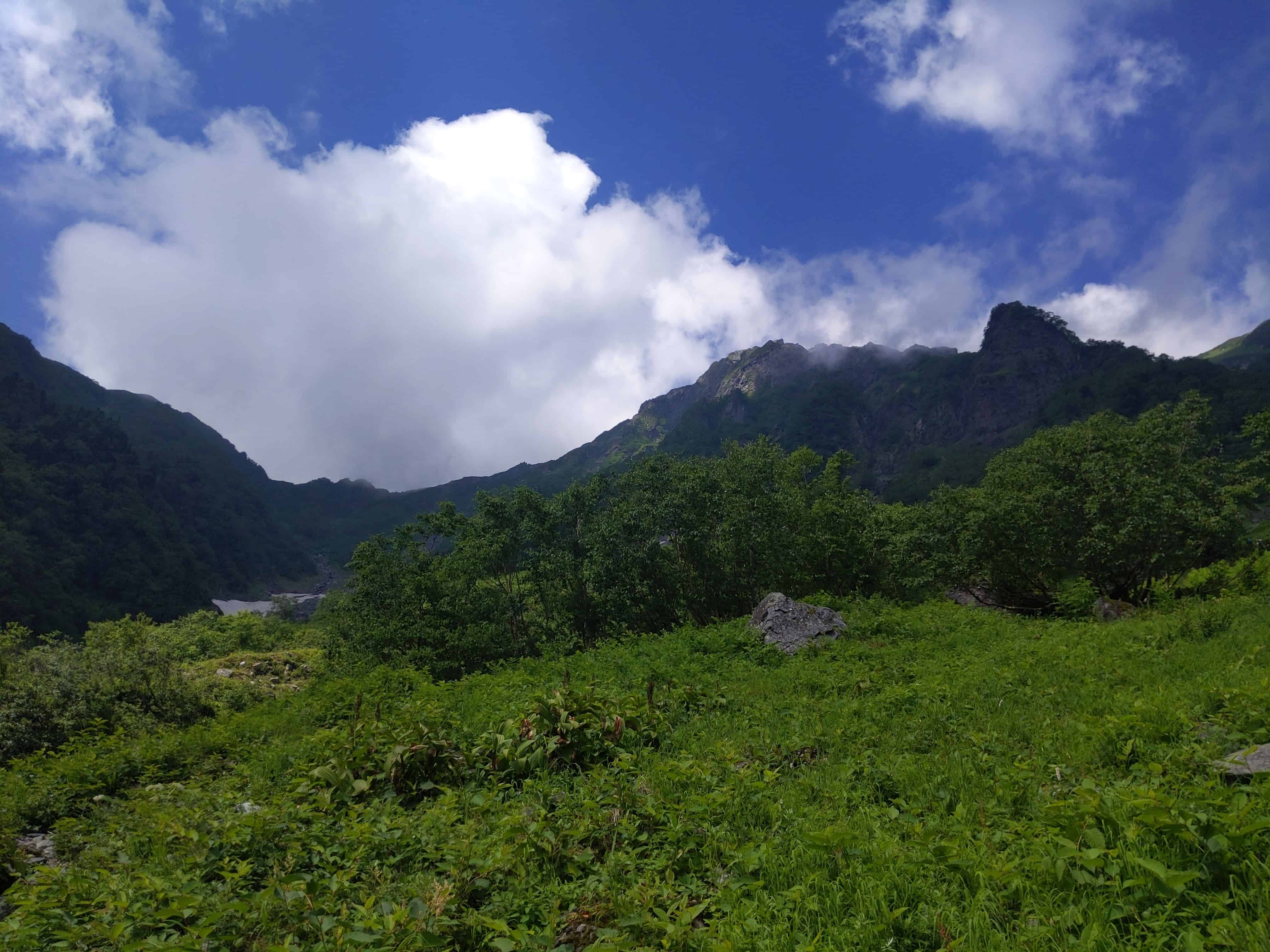
(Day 1) Jul 28, 09:20 AM:
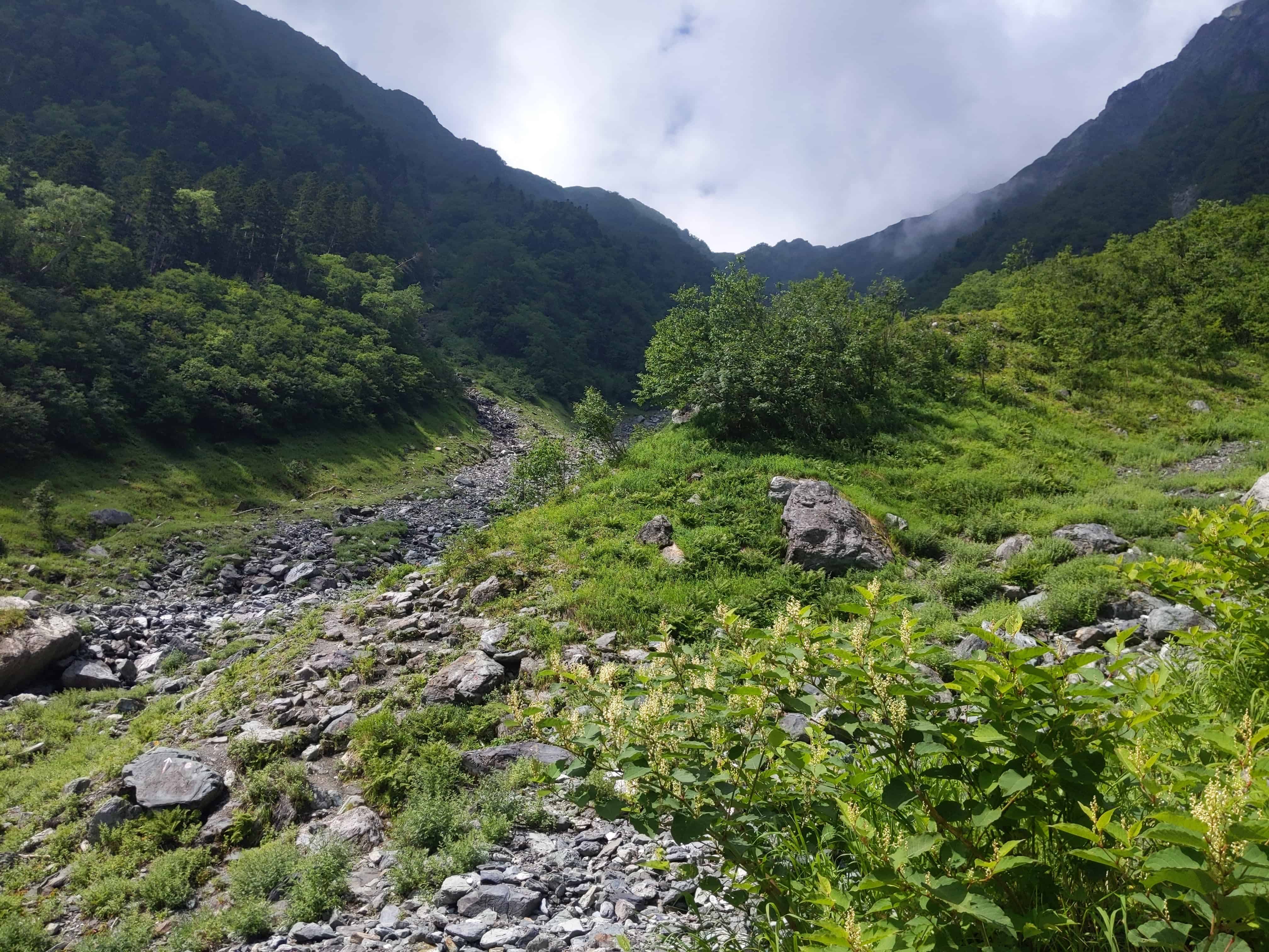
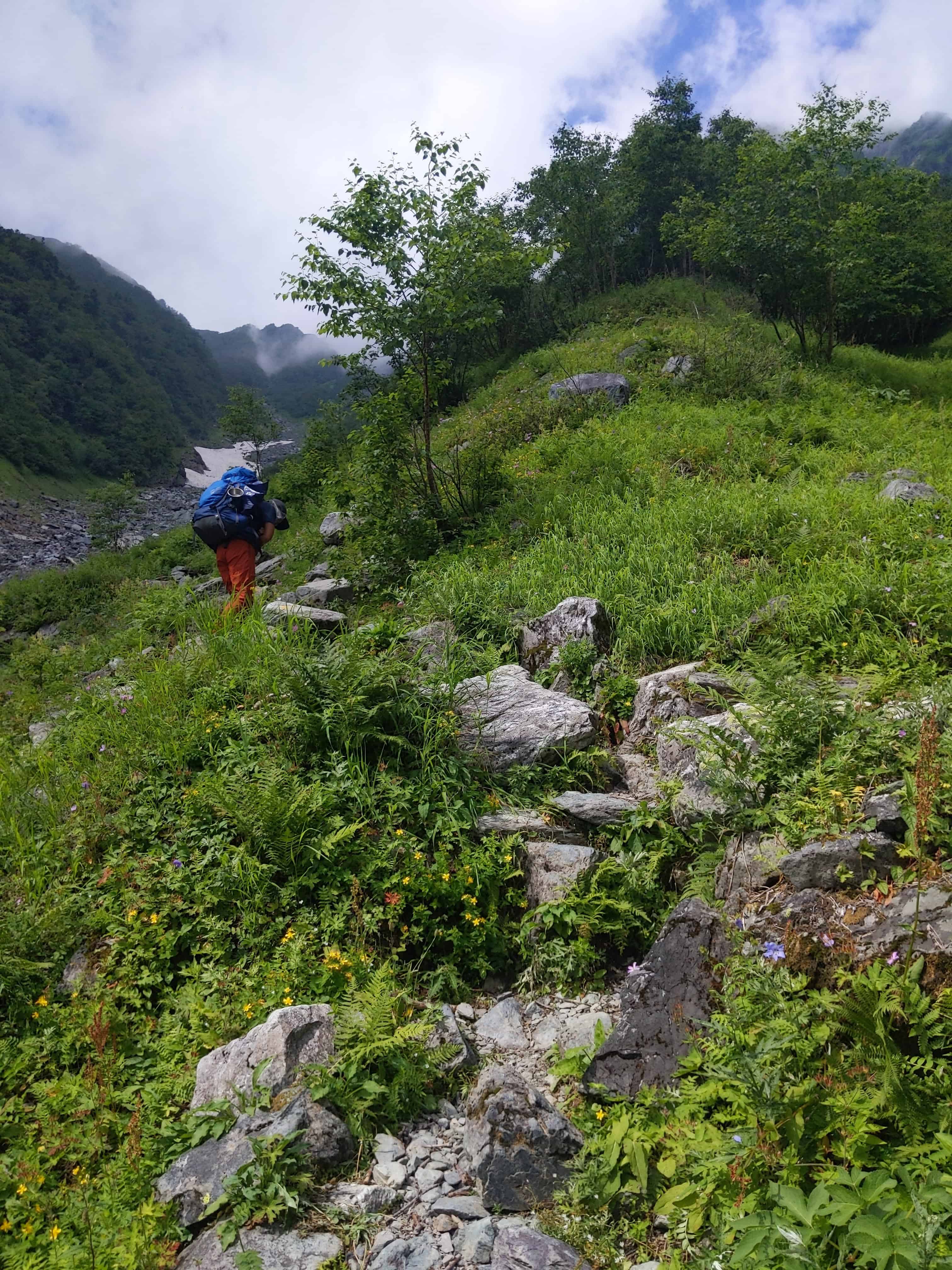
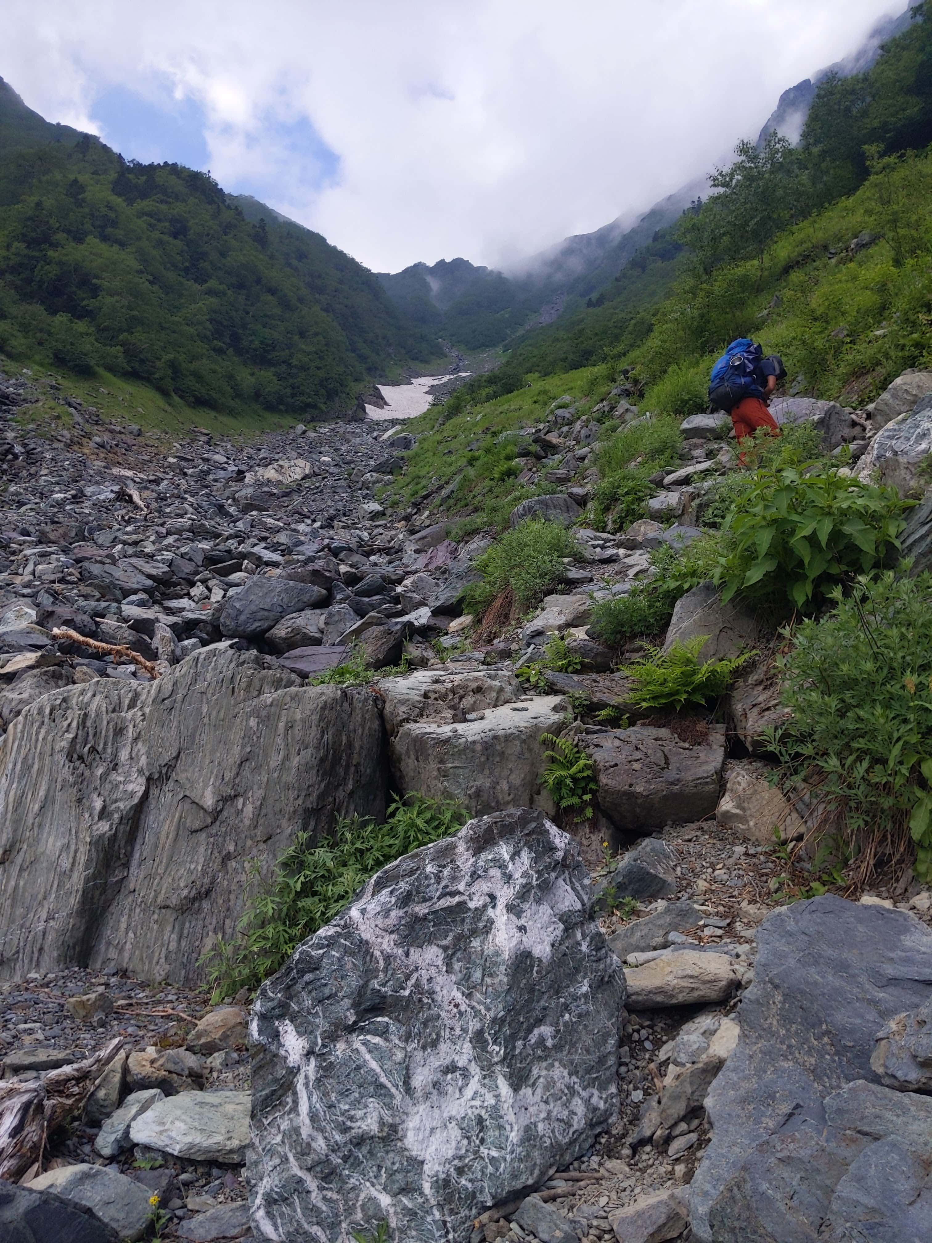
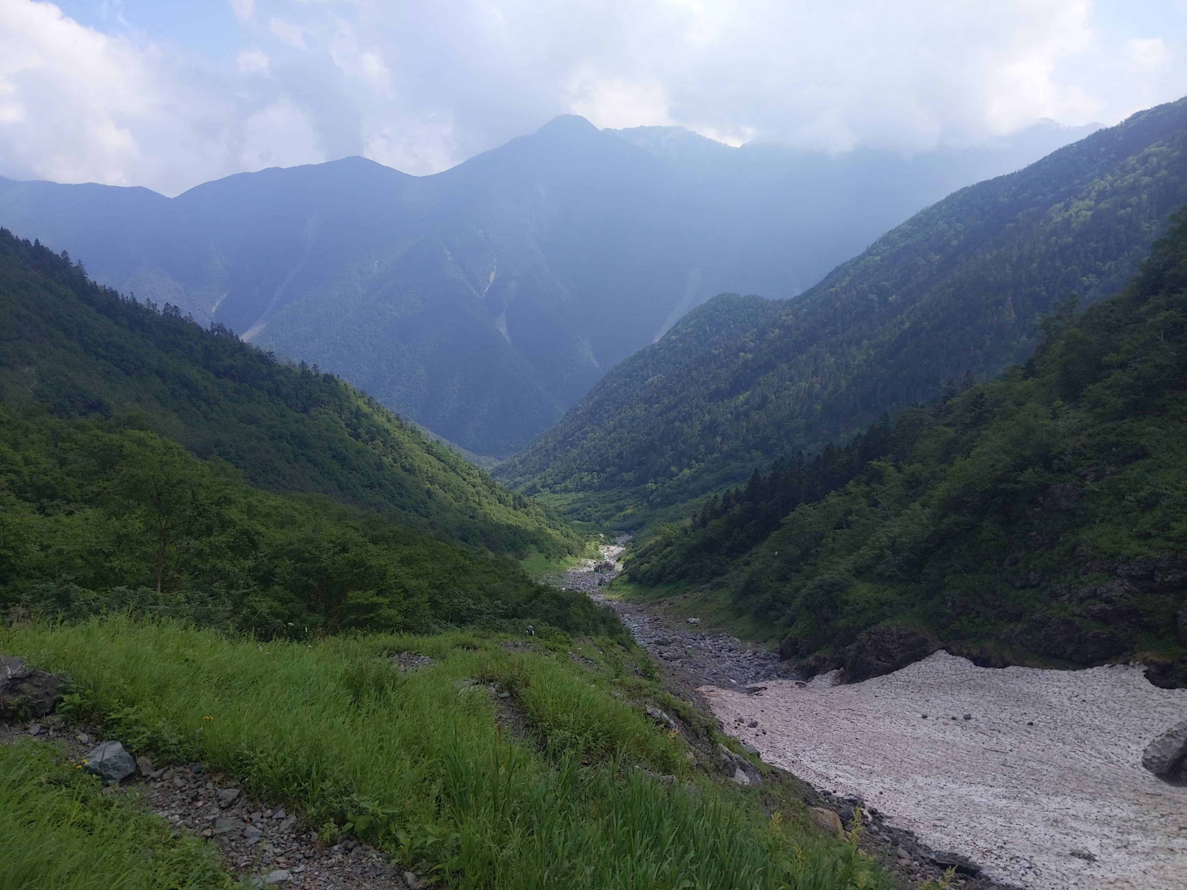
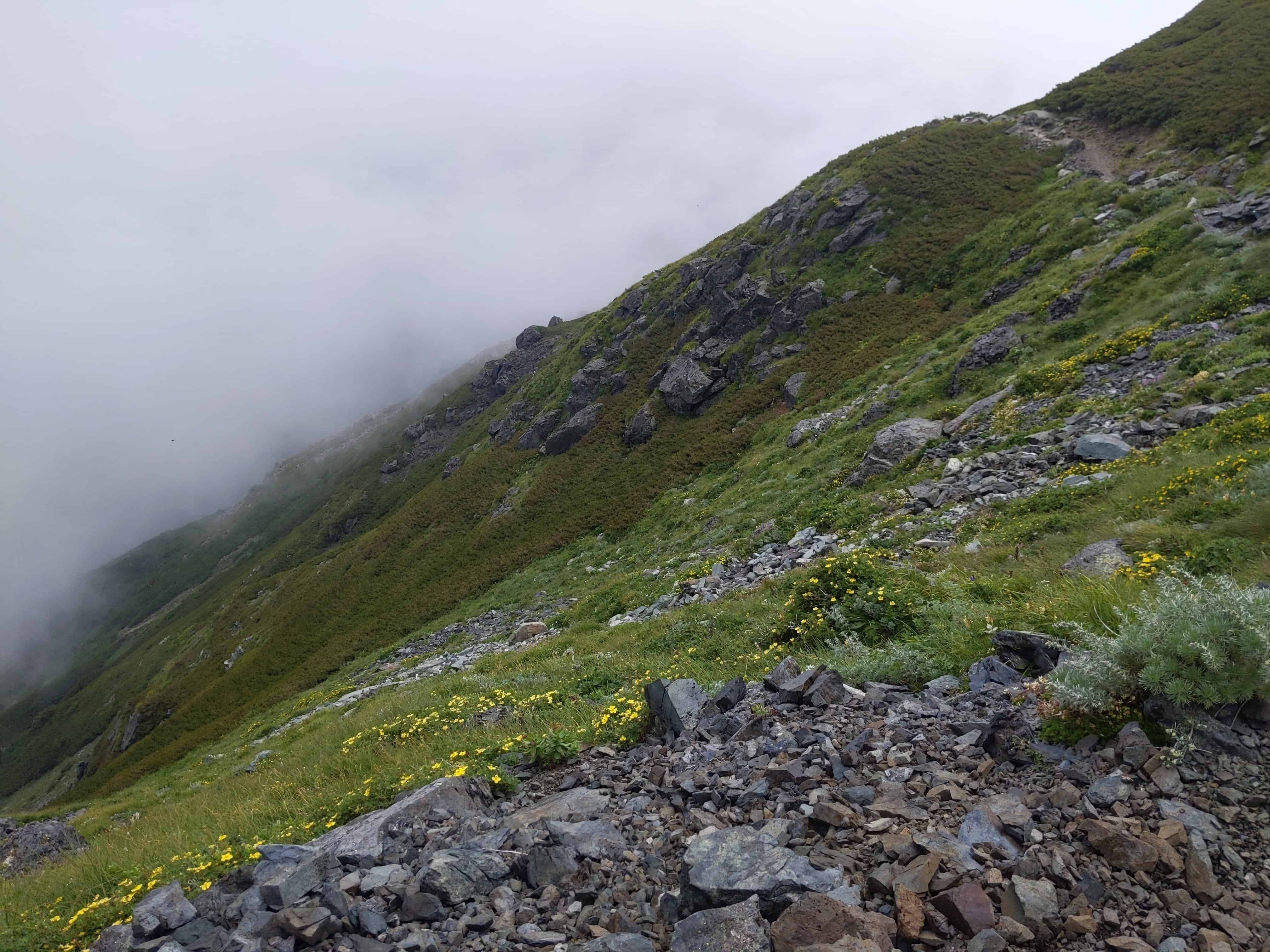
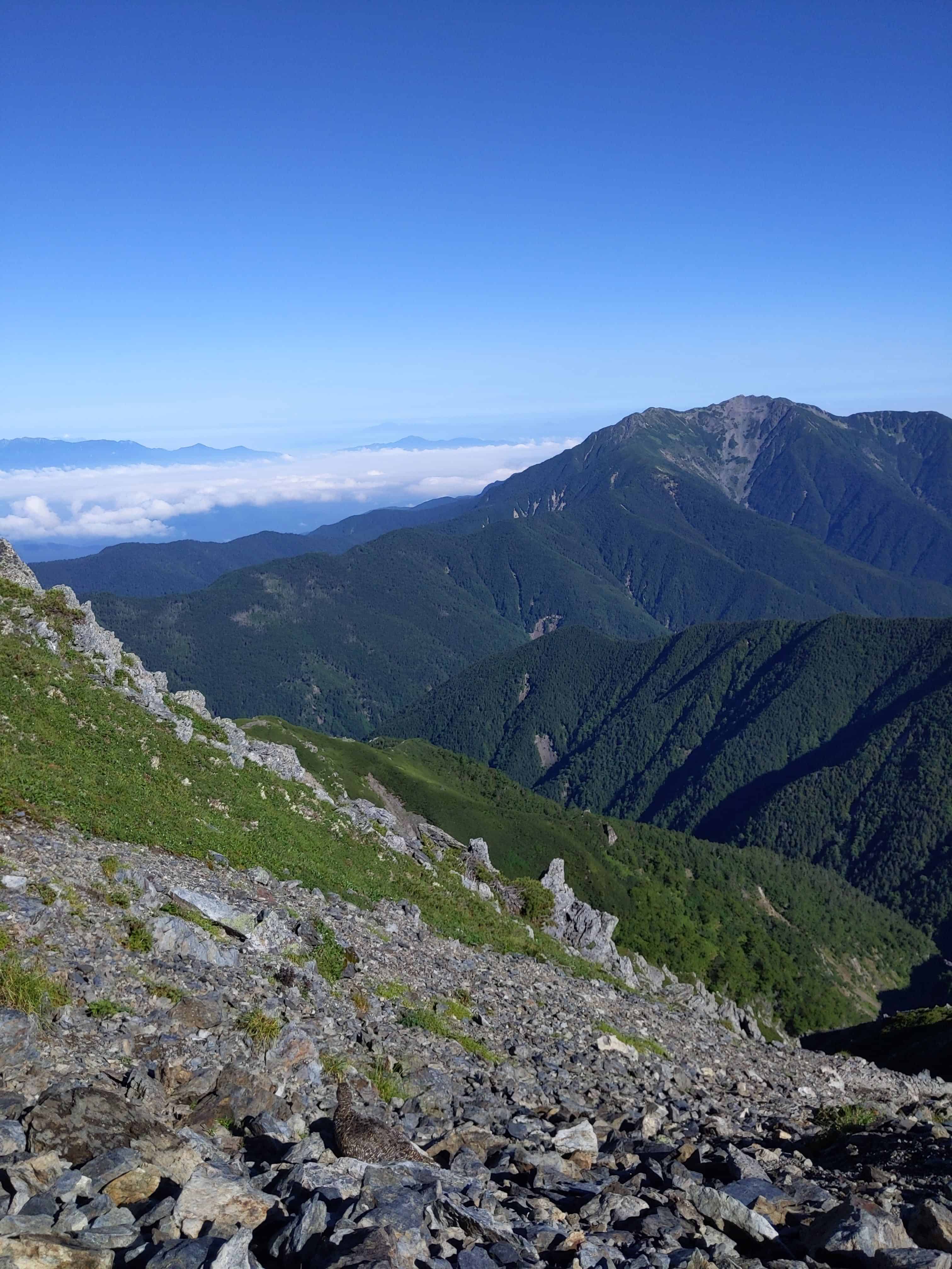
The views along the hike up the Okanba Valley 大樺沢.
(Day 1) Jul 28, 09:55 AM:
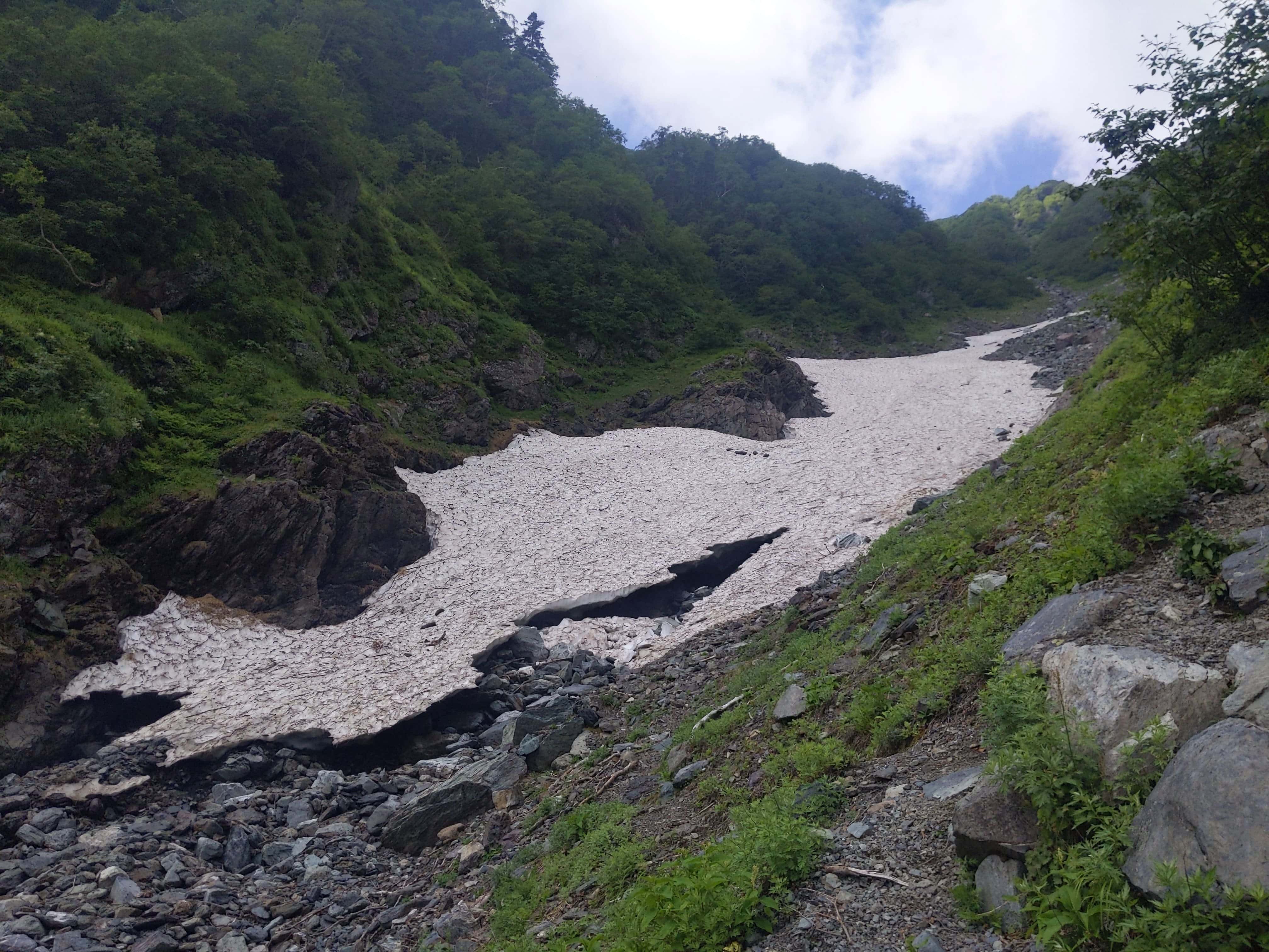
With such a stunning view, here is a good place to take a break.
There are some lingering snow patches in the valley as you can see on the right.
If the amount of remaining snow is too large, there is a possibility of an avalanche happening, and as a result, the hiking route along the Okanba Valley 大樺沢 would be closed. I was lucky this year.
Please check for the latest updated status before your climb.
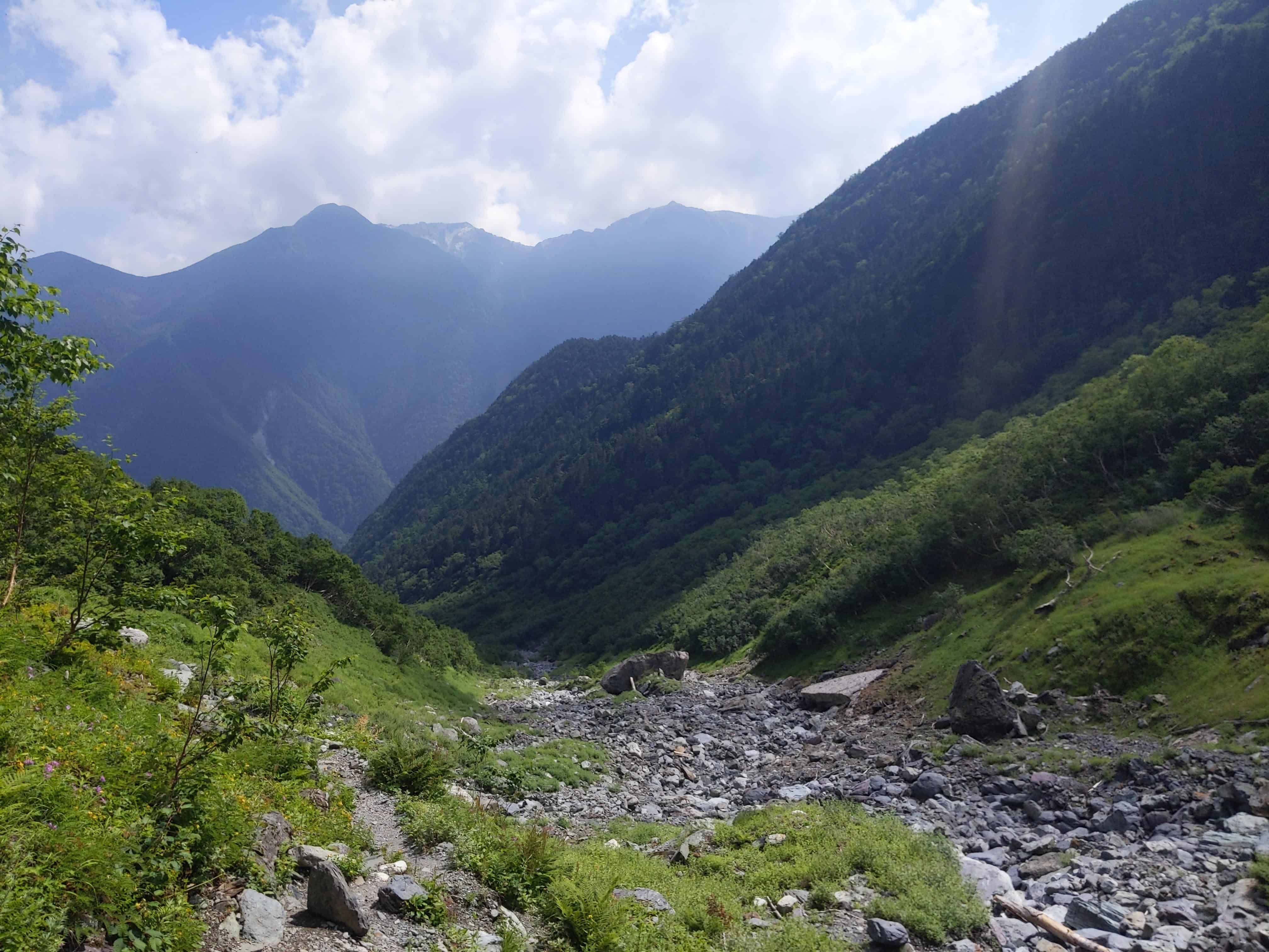
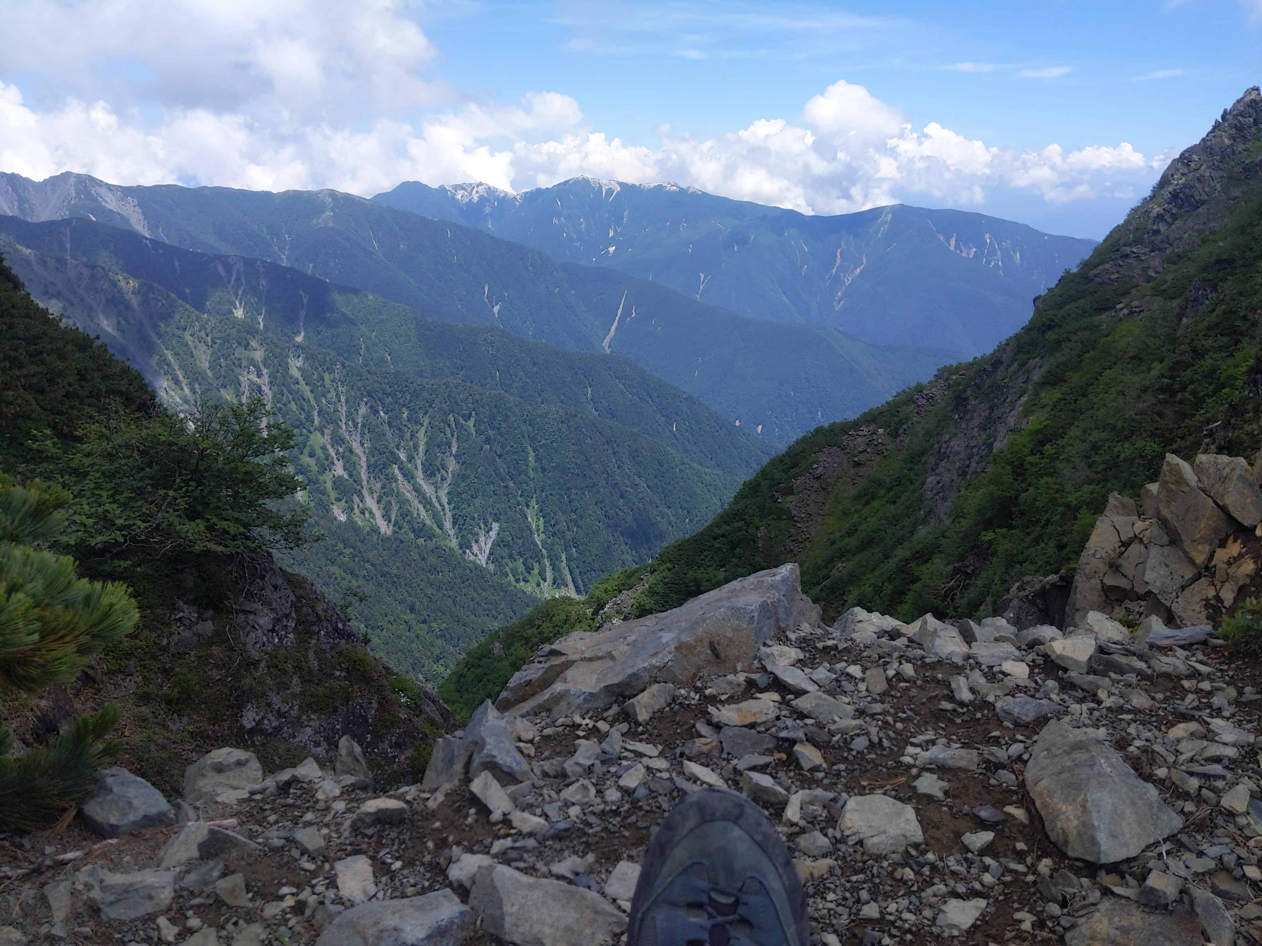
(Day 1) Jul 28, 10:14 AM:
That's the peak of Mount Kita-dake 北岳. So close yet so far.
(Day 1) Jul 28, 10:45 AM:
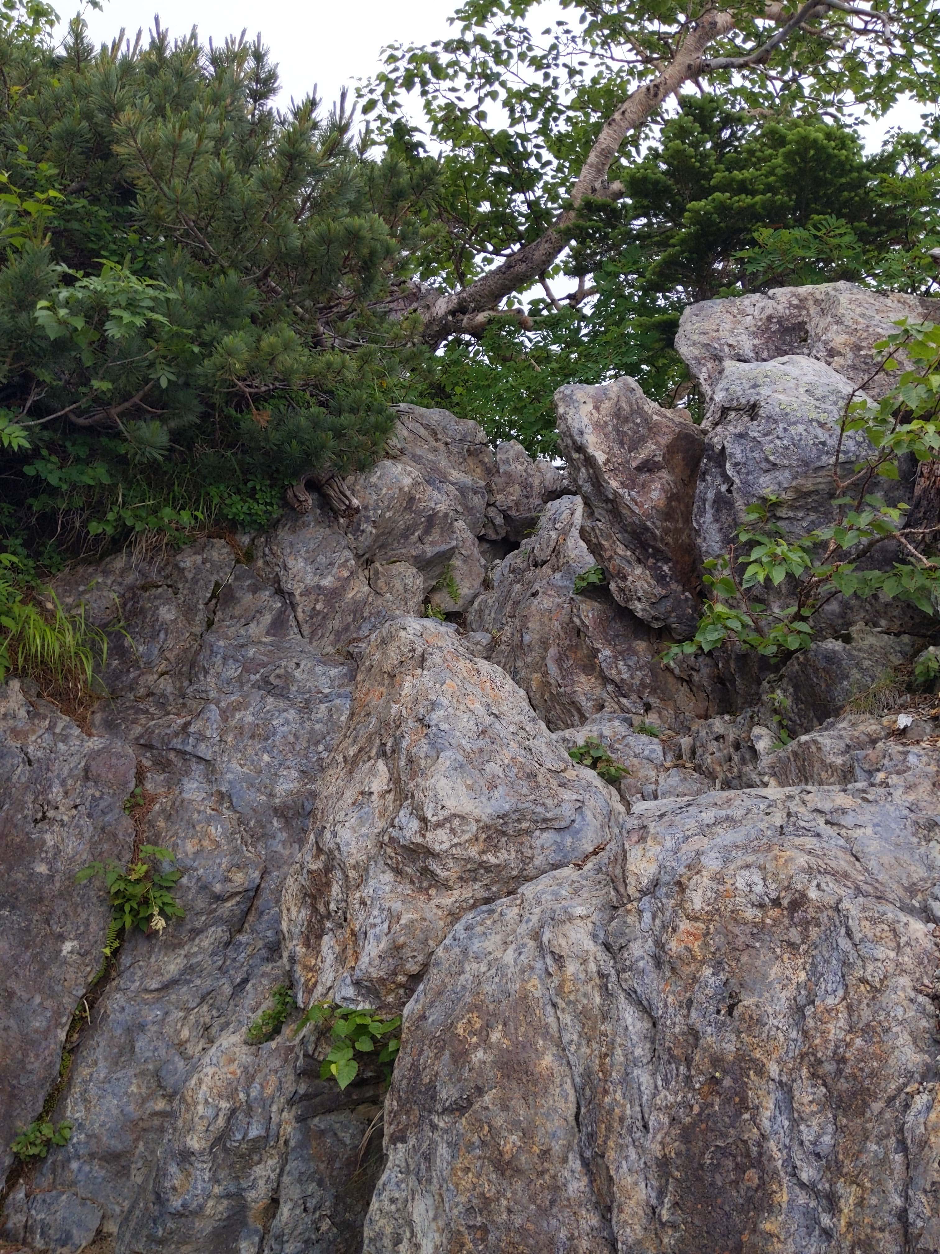
This marks the crossing point to the other side of the Okanba Valley 大樺沢. There are ropes positioned here, as you can see in the background, to aid in navigating a particularly slick area of the valley, where water is flowing, ensuring safer passage.
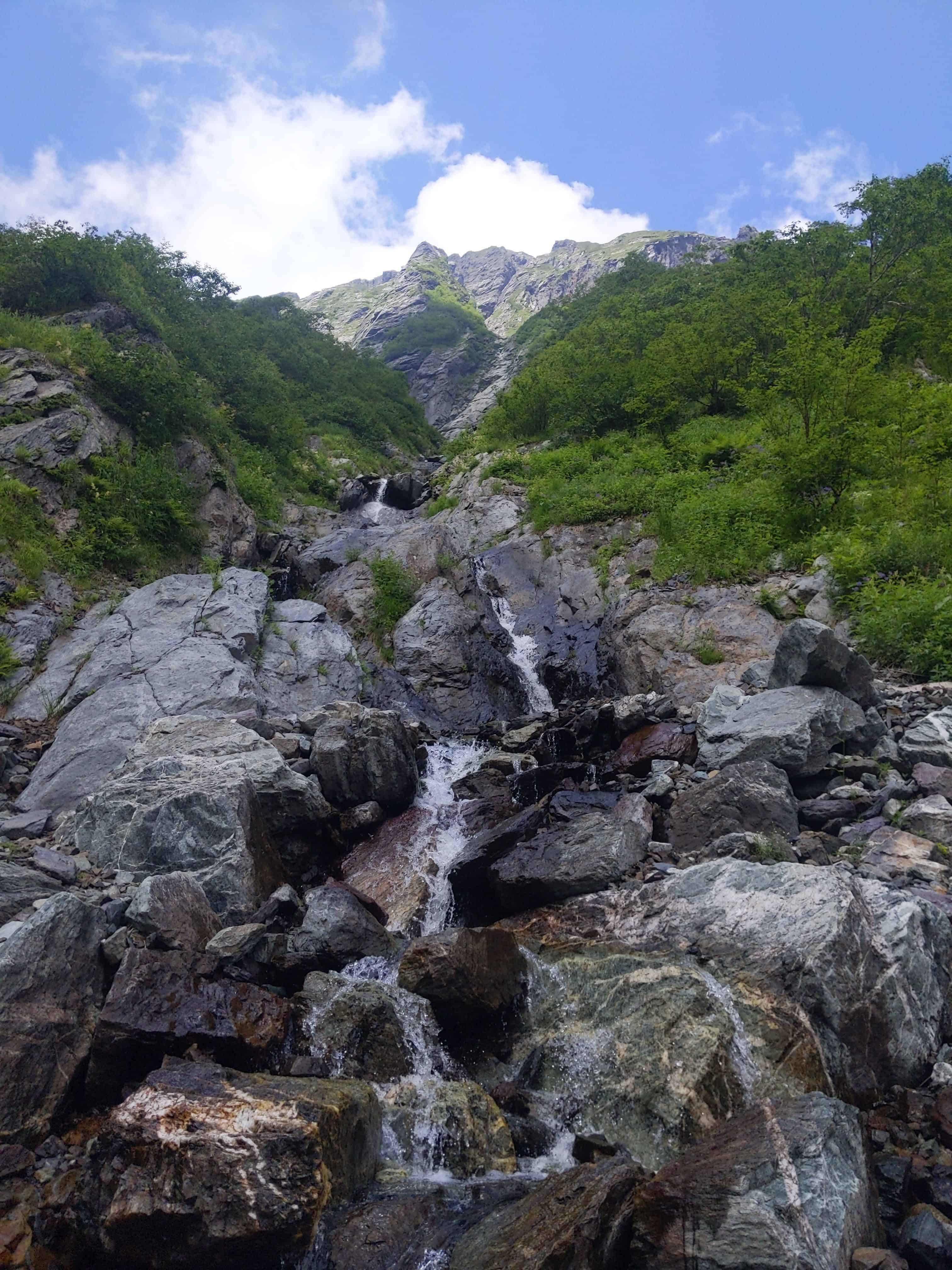
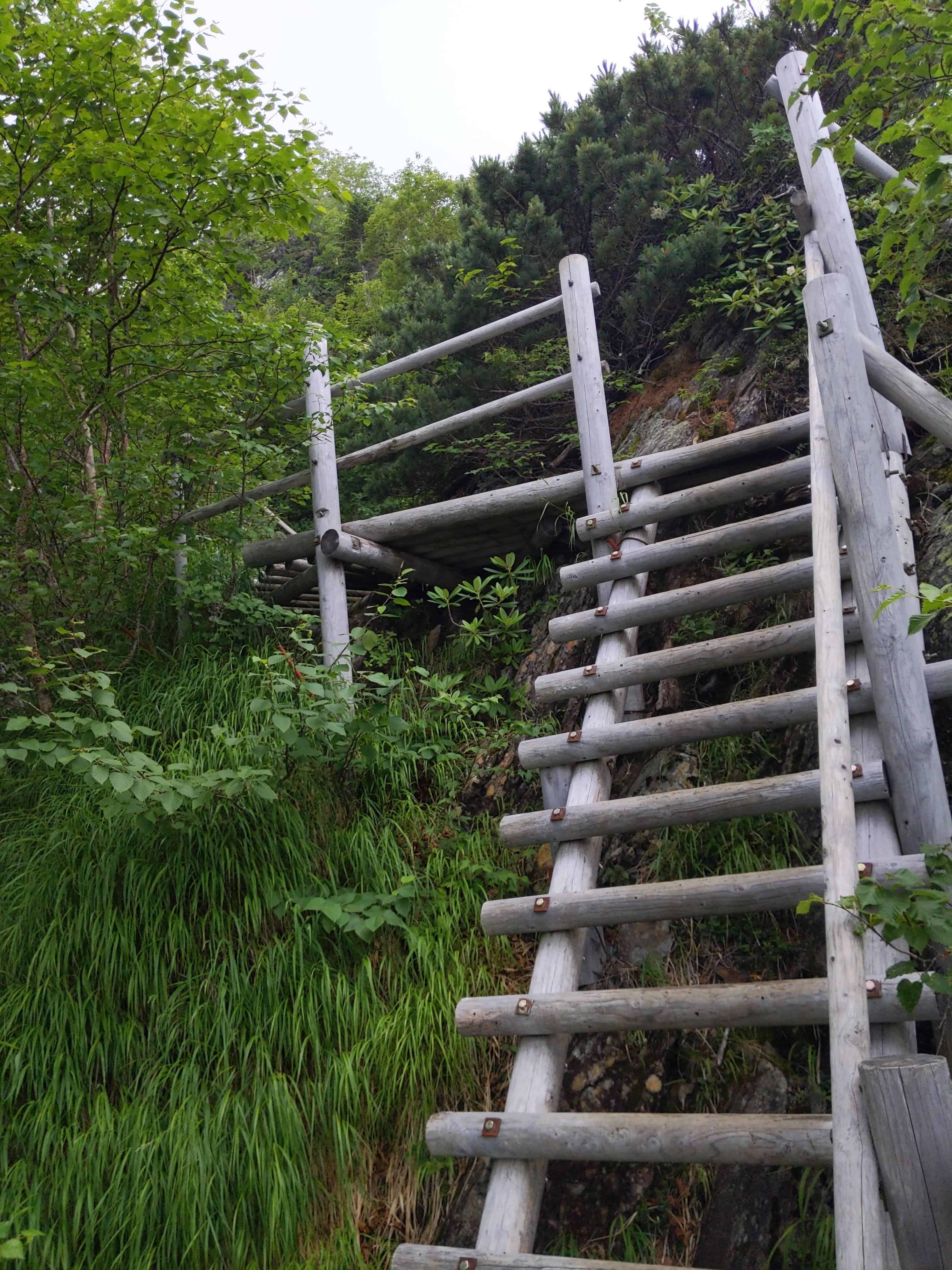
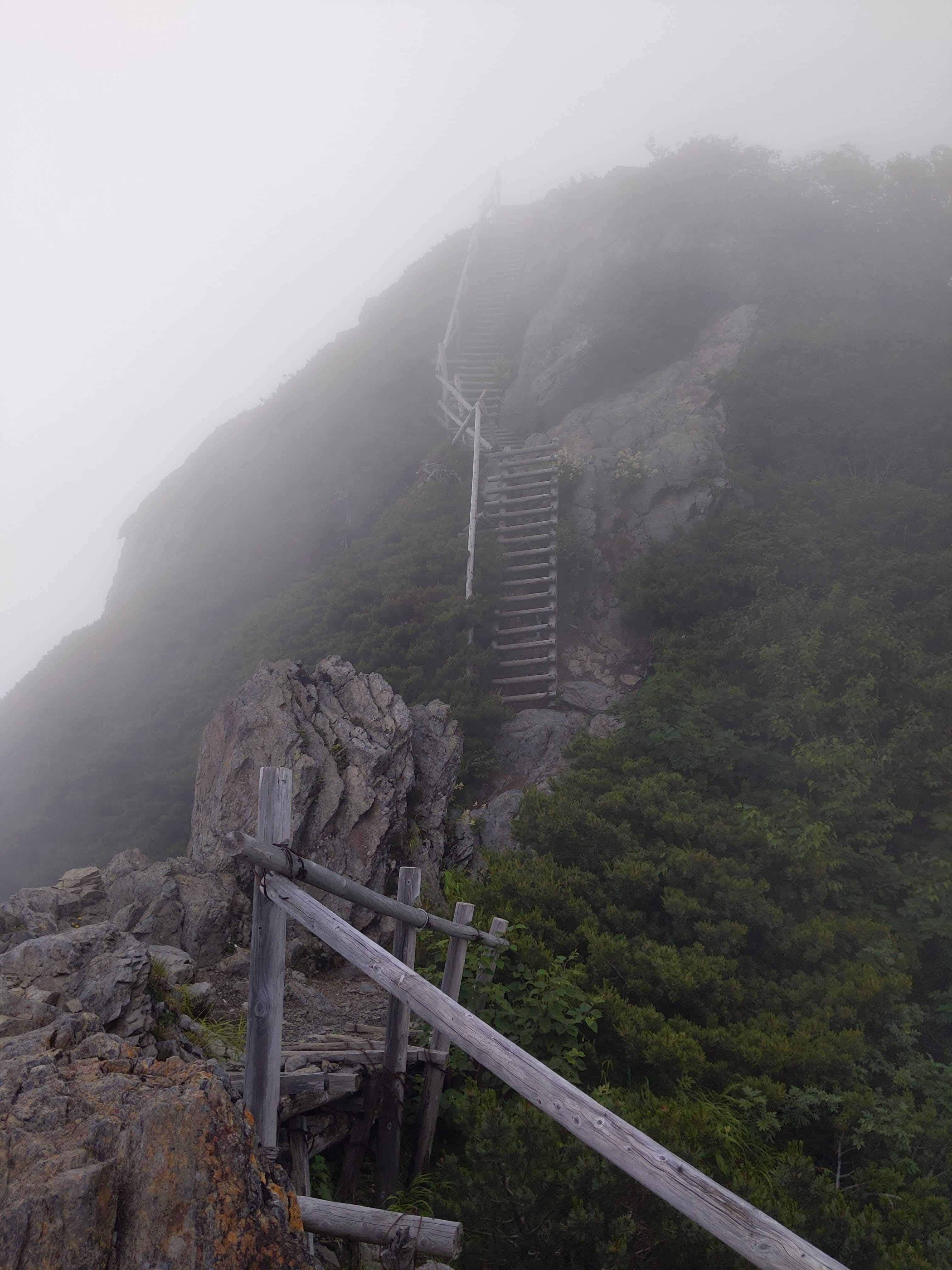
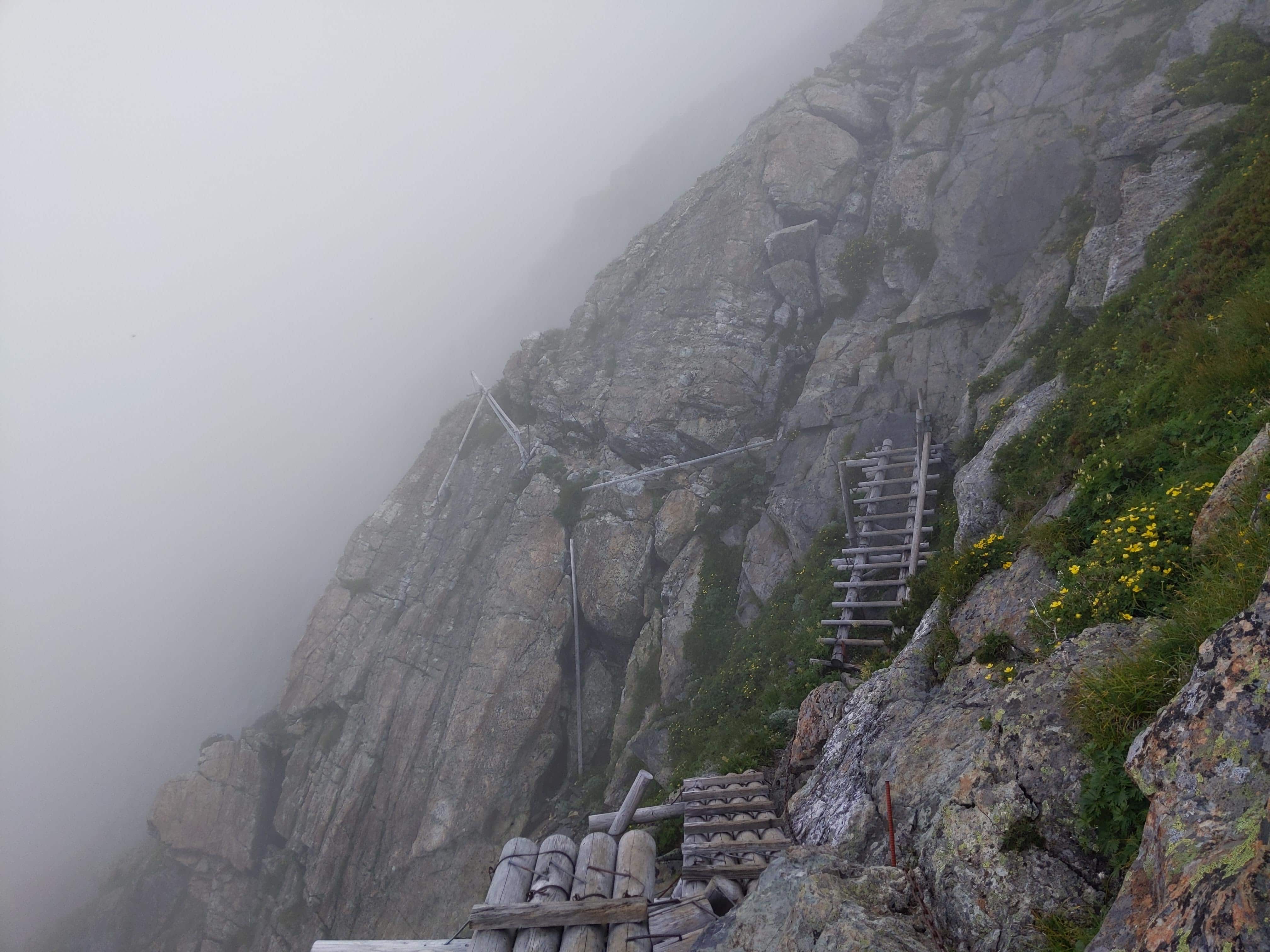
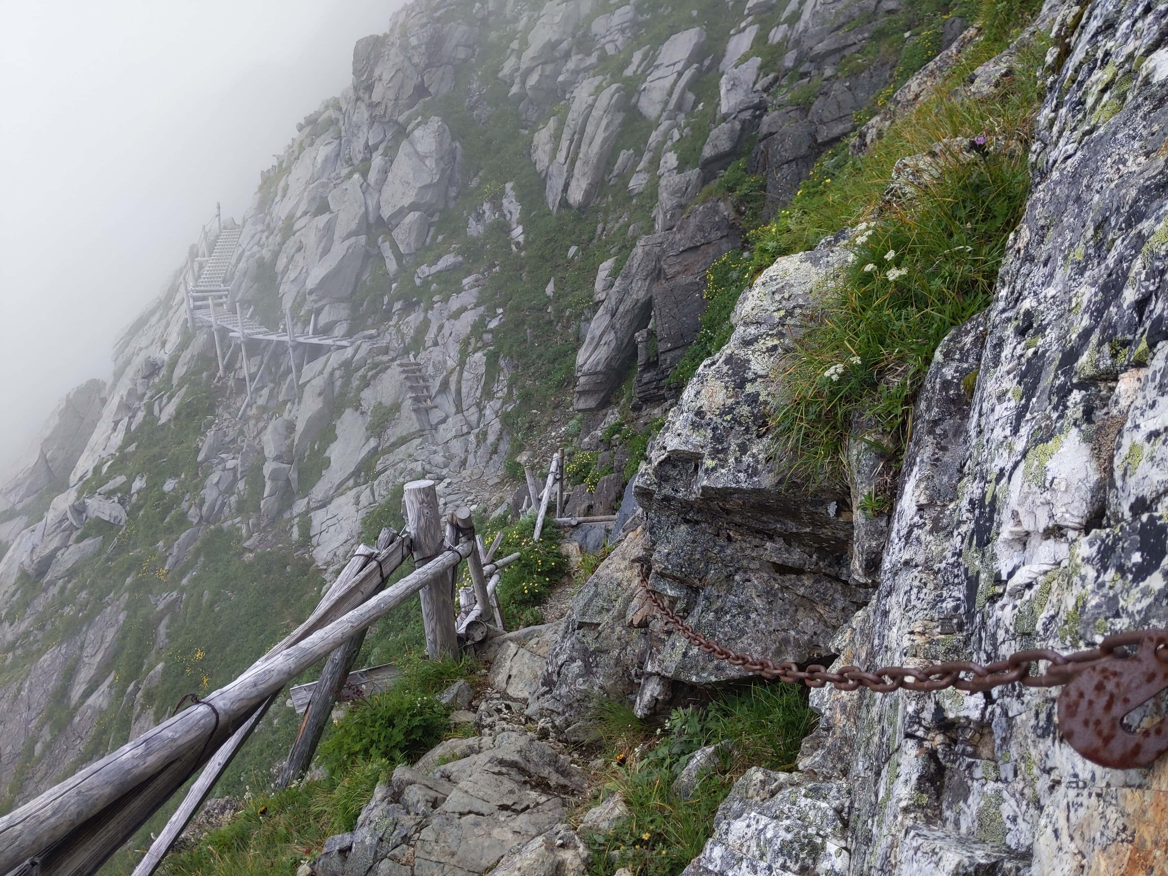
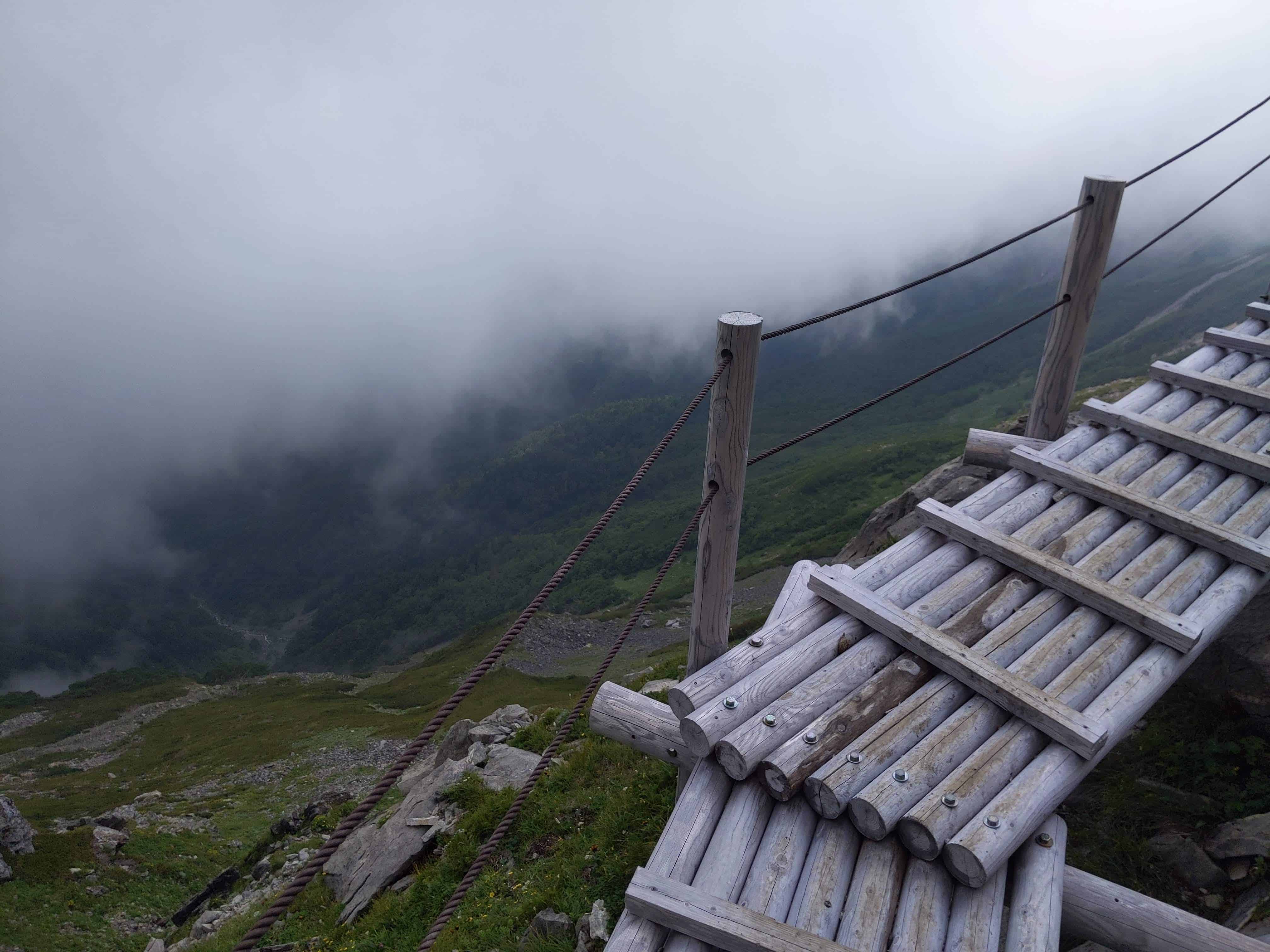
(Day 1) Jul 28, 10:58 AM:
Stairs are available to help us scale these rocky areas. I am forever grateful for those who built them.
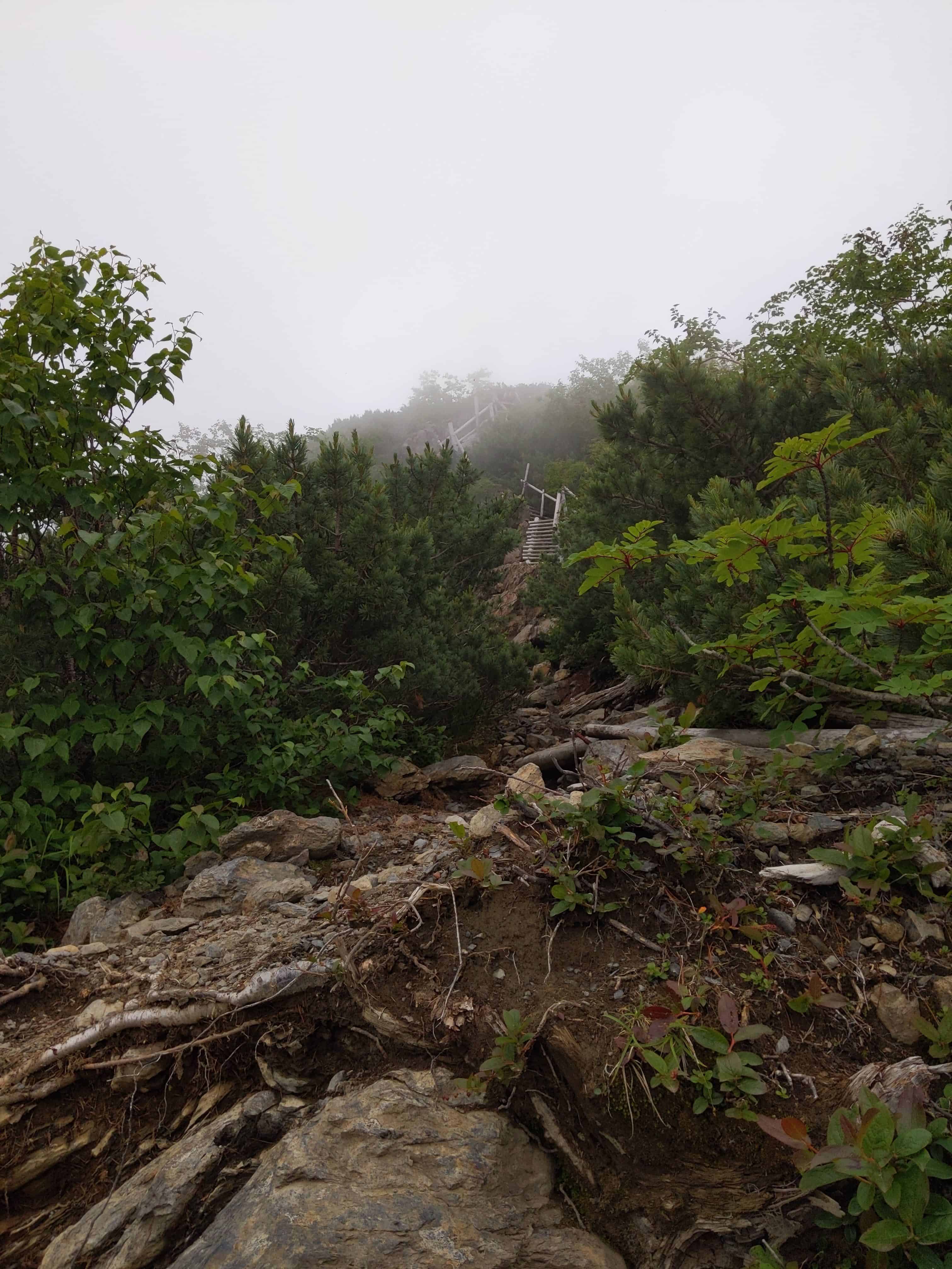
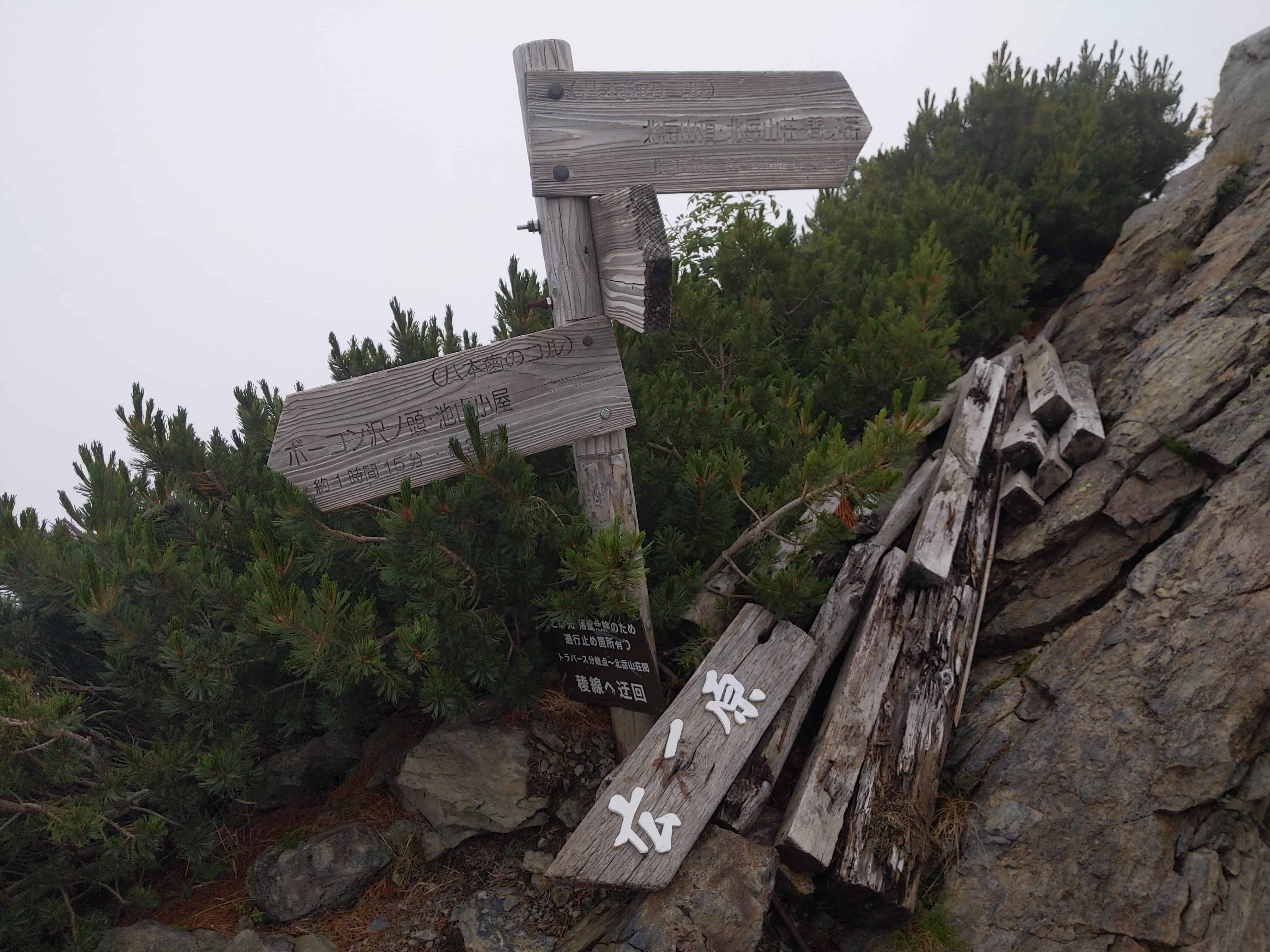
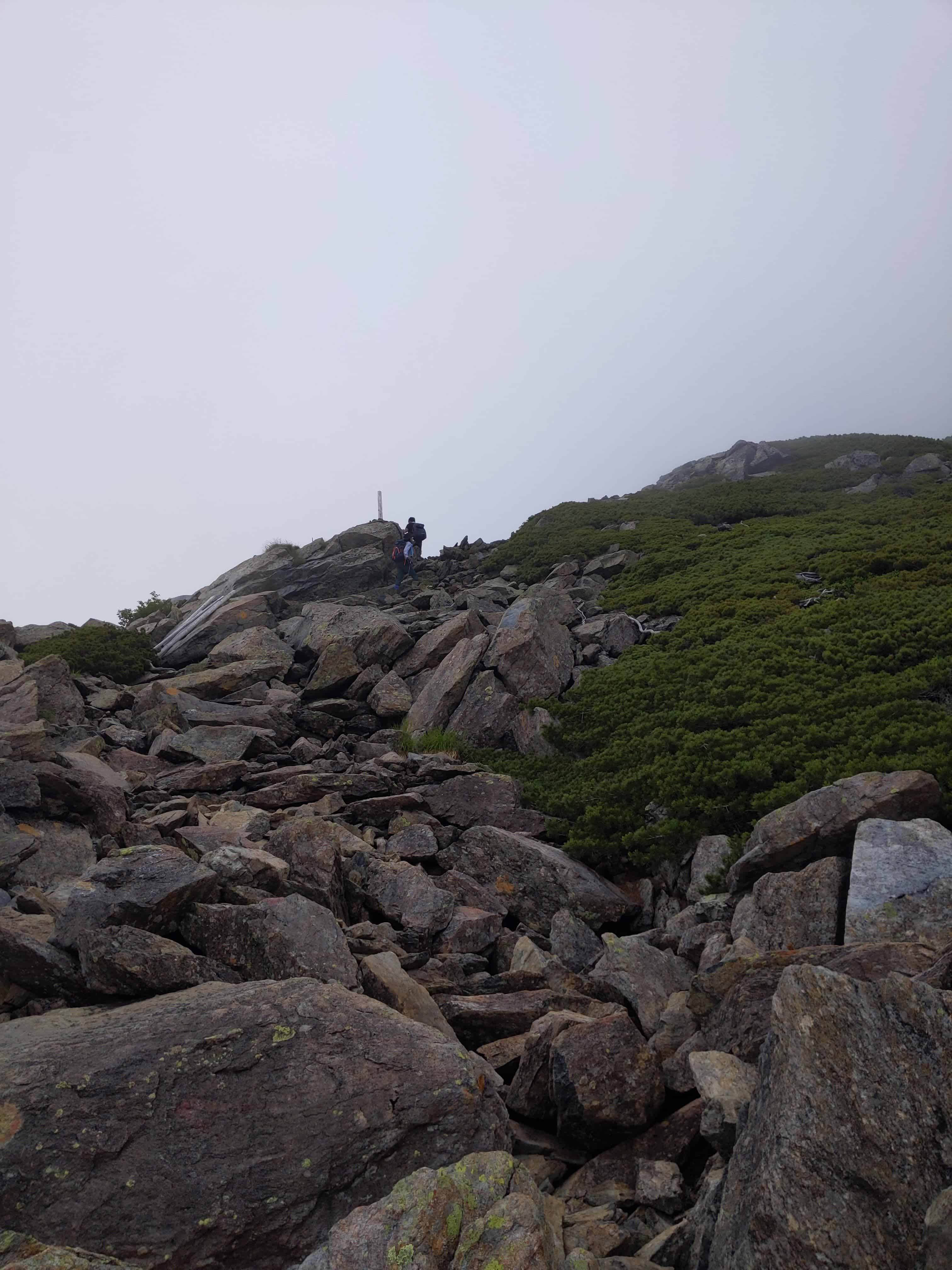
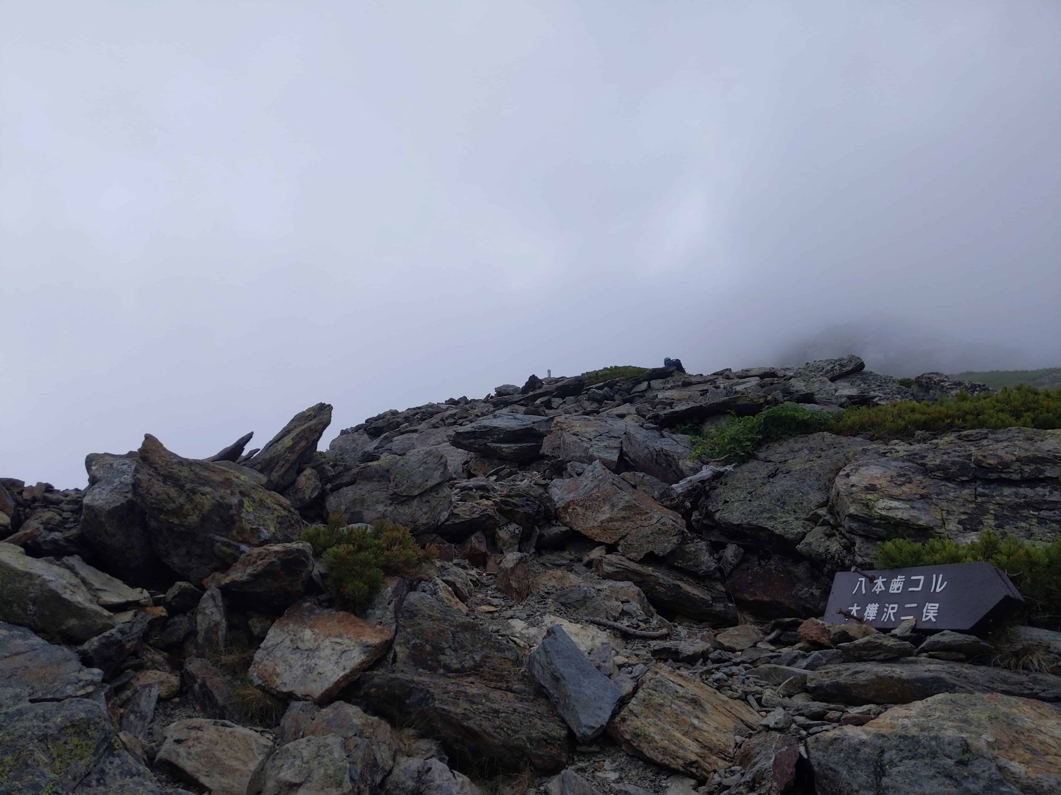
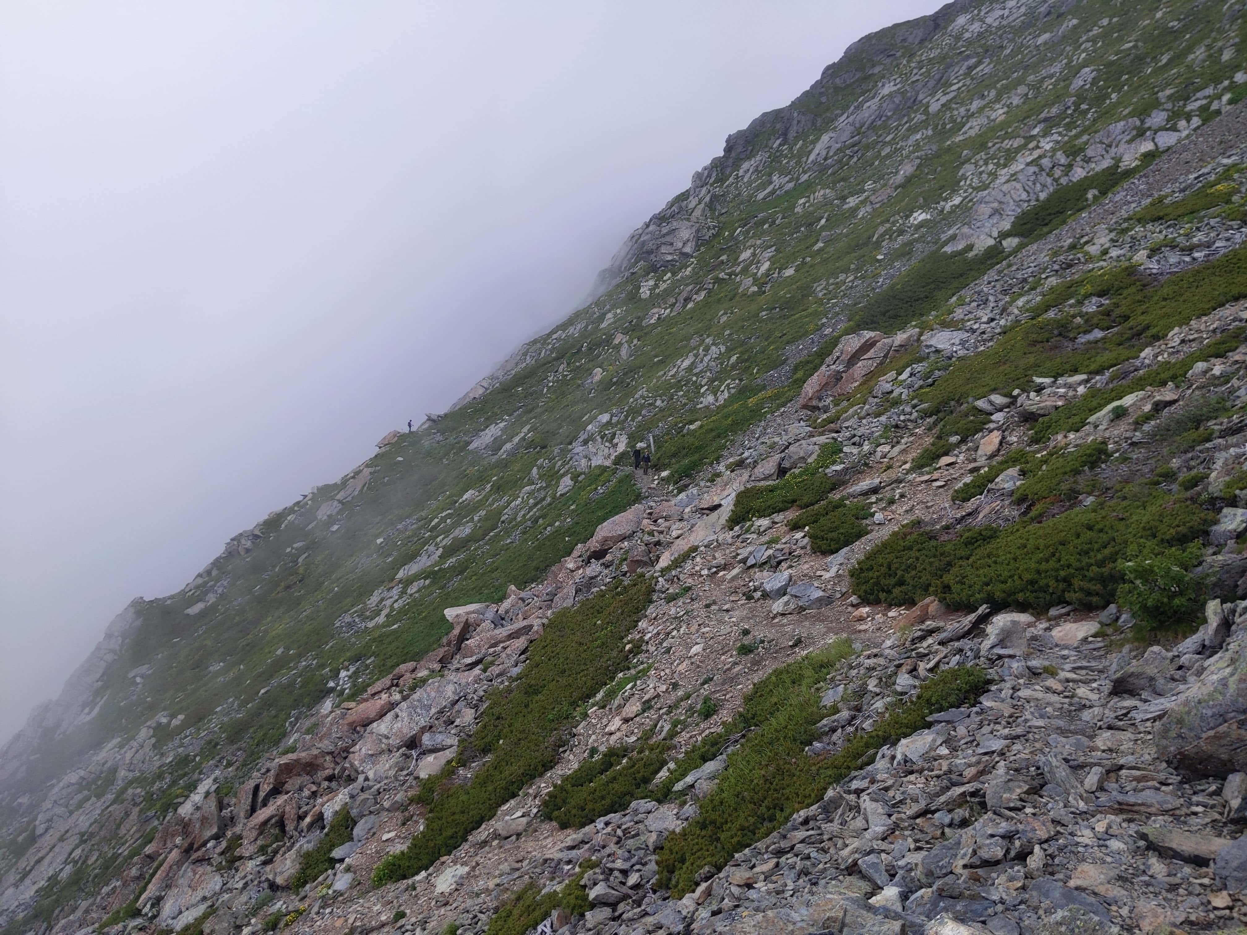
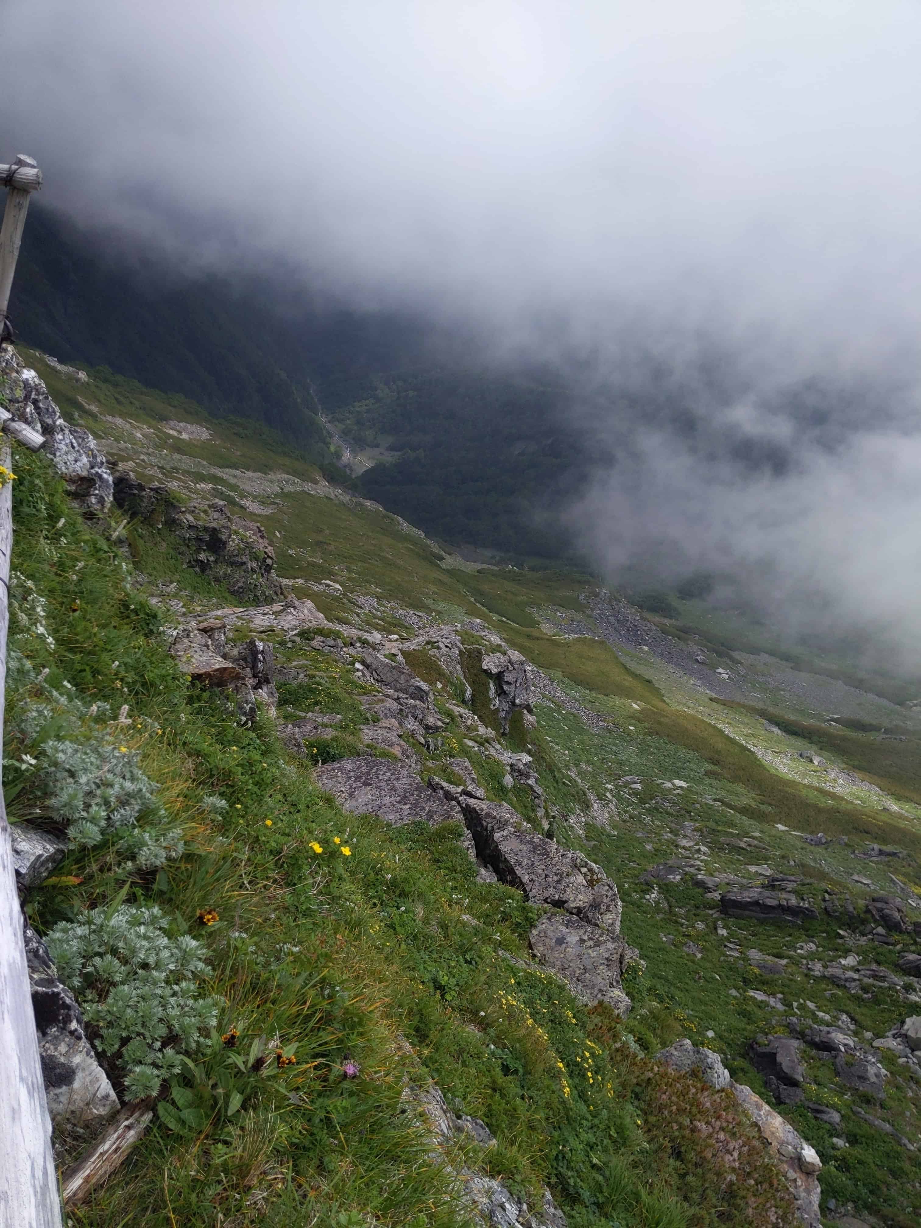
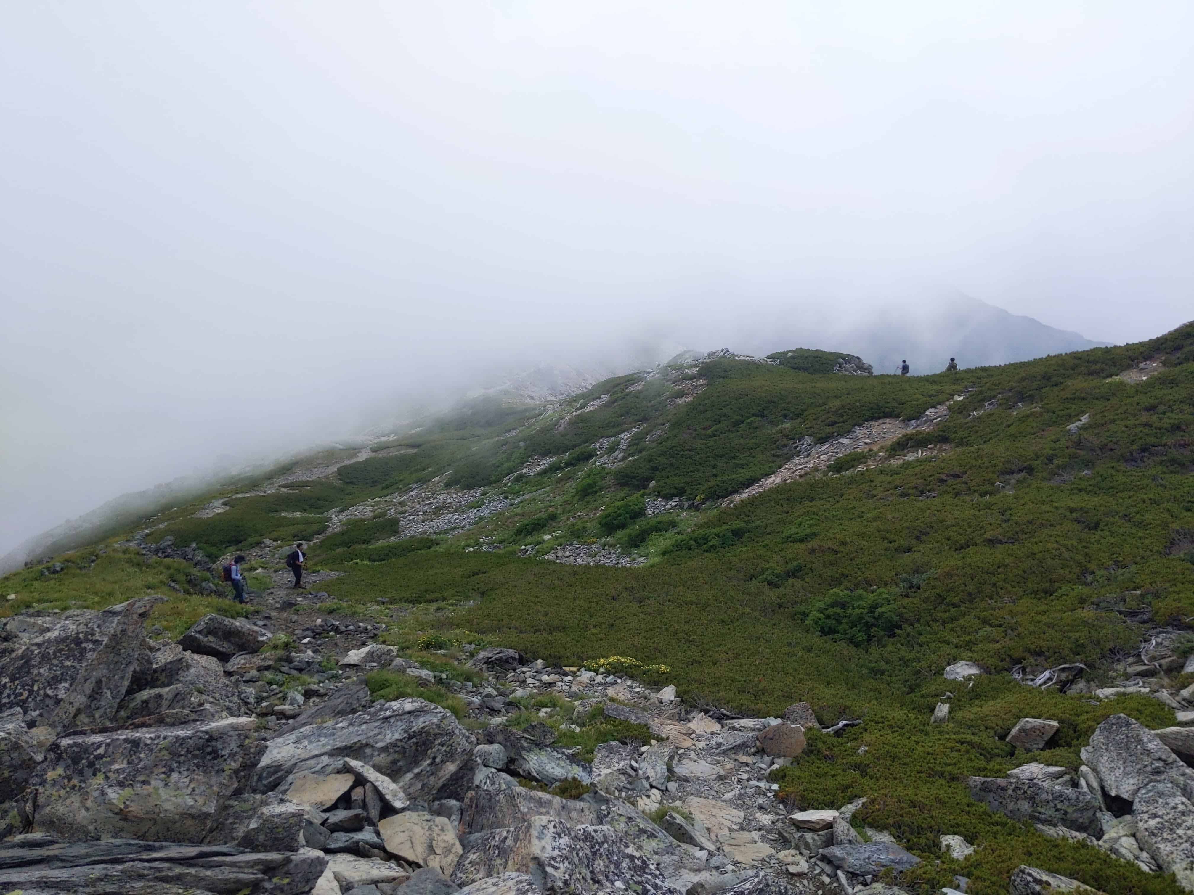
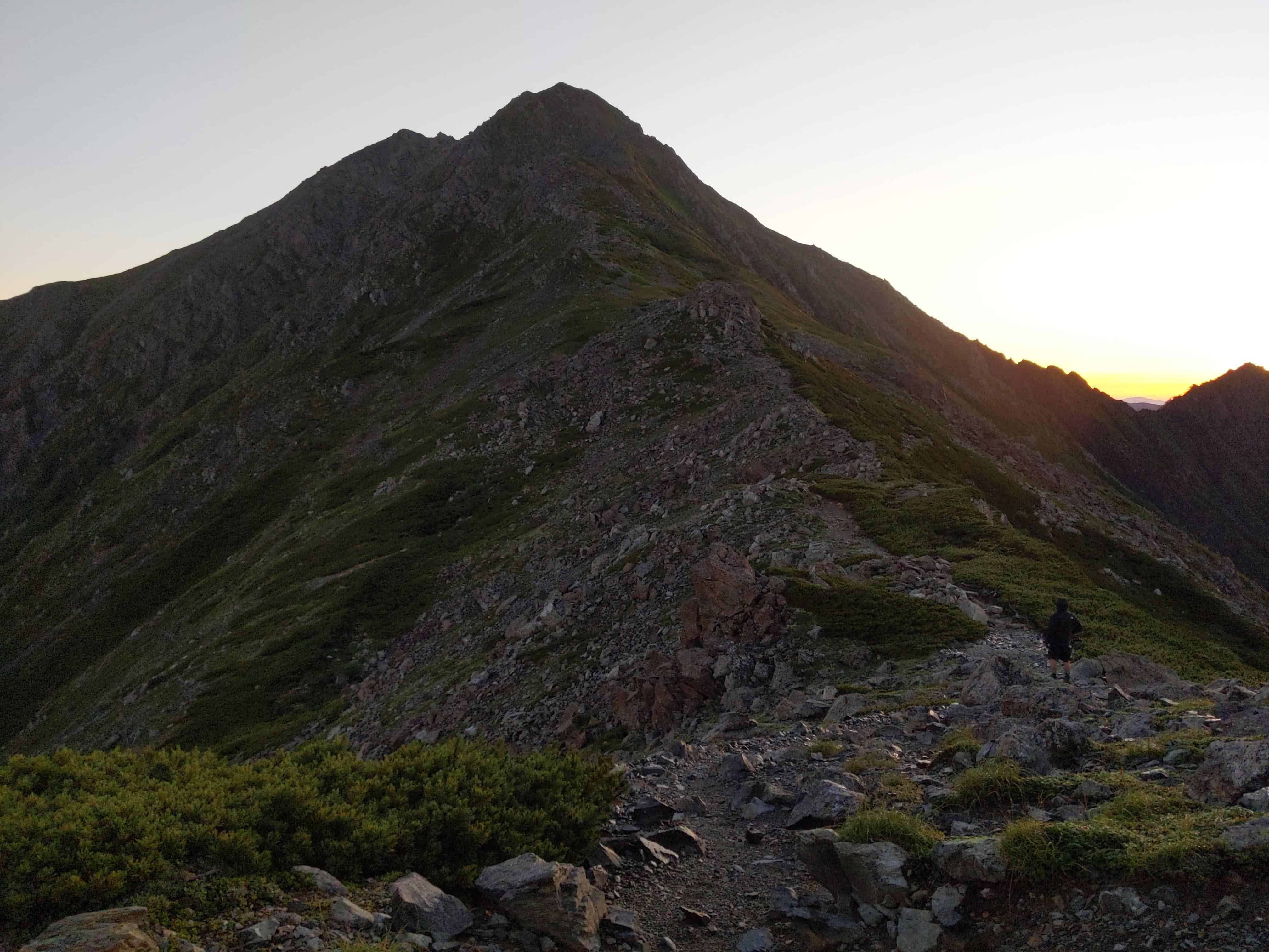
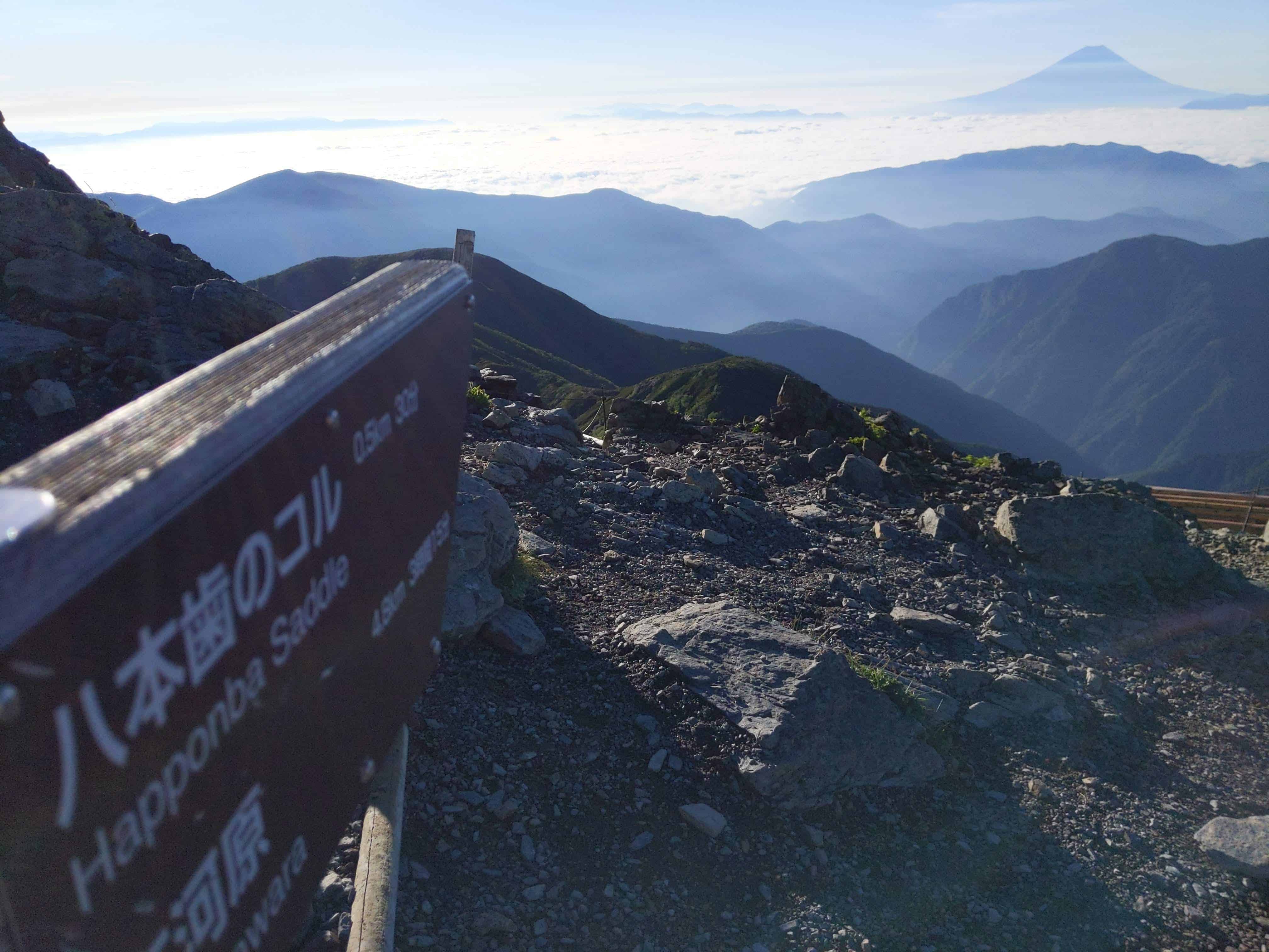
(Day 1) Jul 28, 11:13 AM:
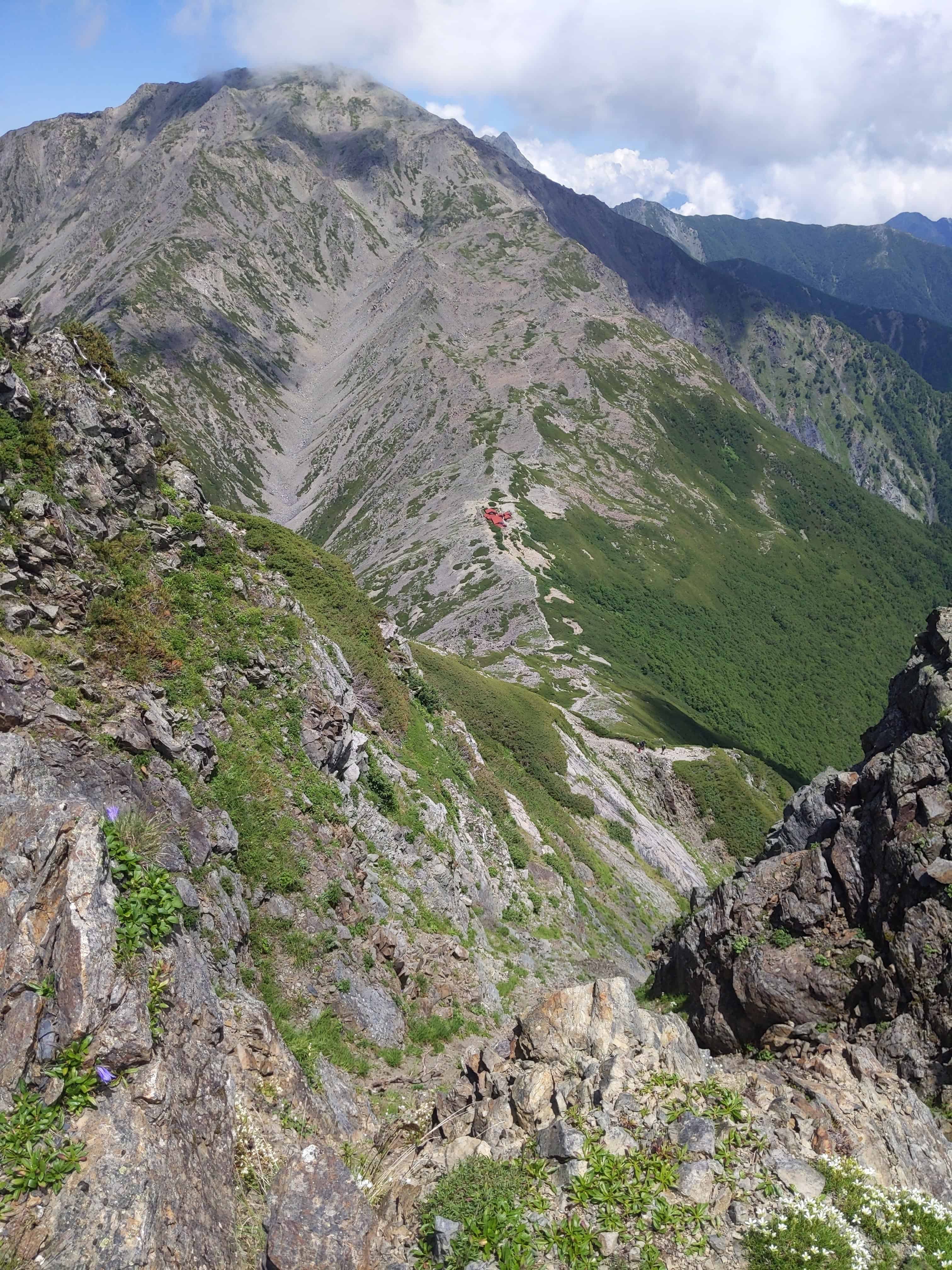
Beyond this fog lies the hiking trail from the direction of the Happonba Saddle 八本歯のコル.
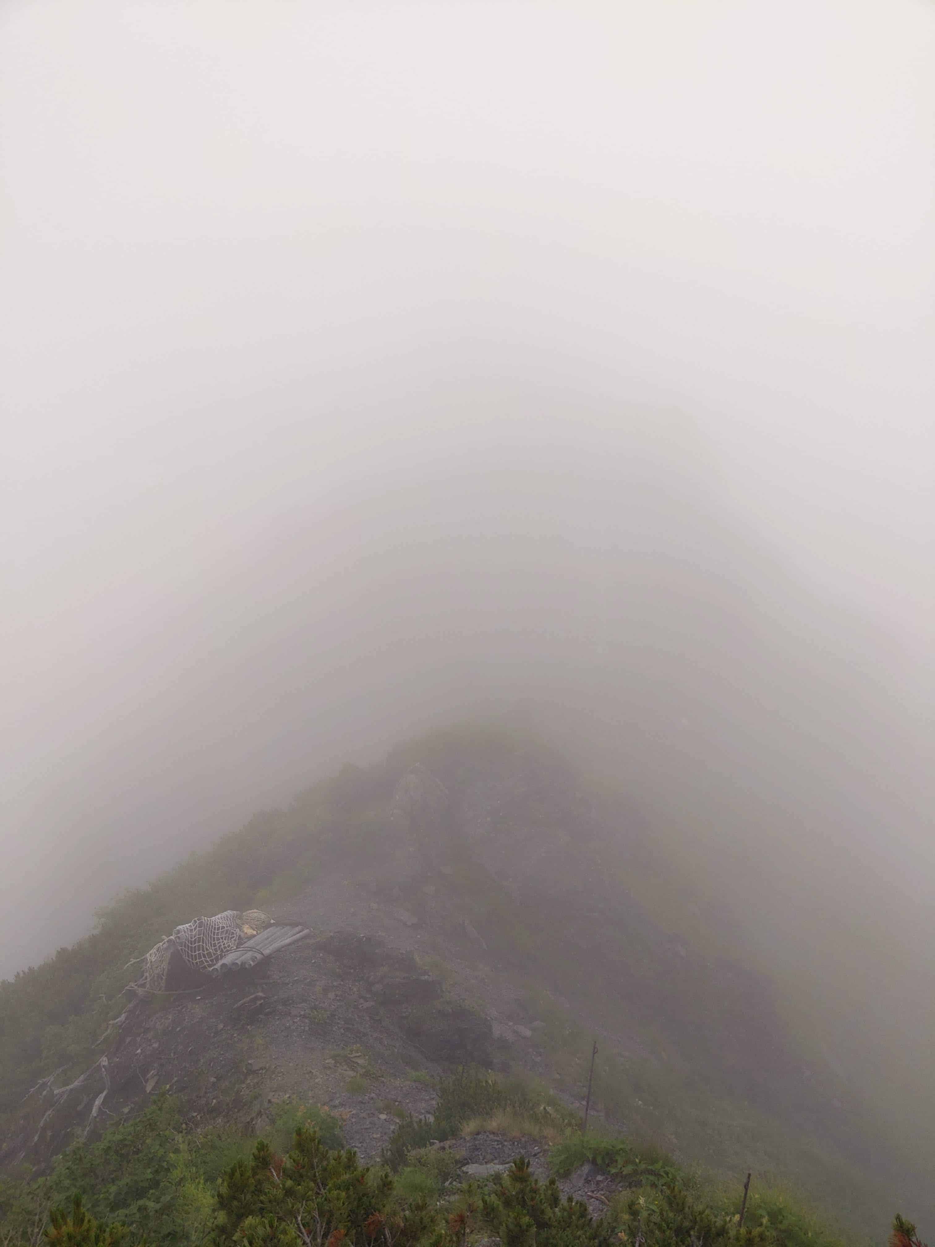
Refer to our article if you are keen about this route.
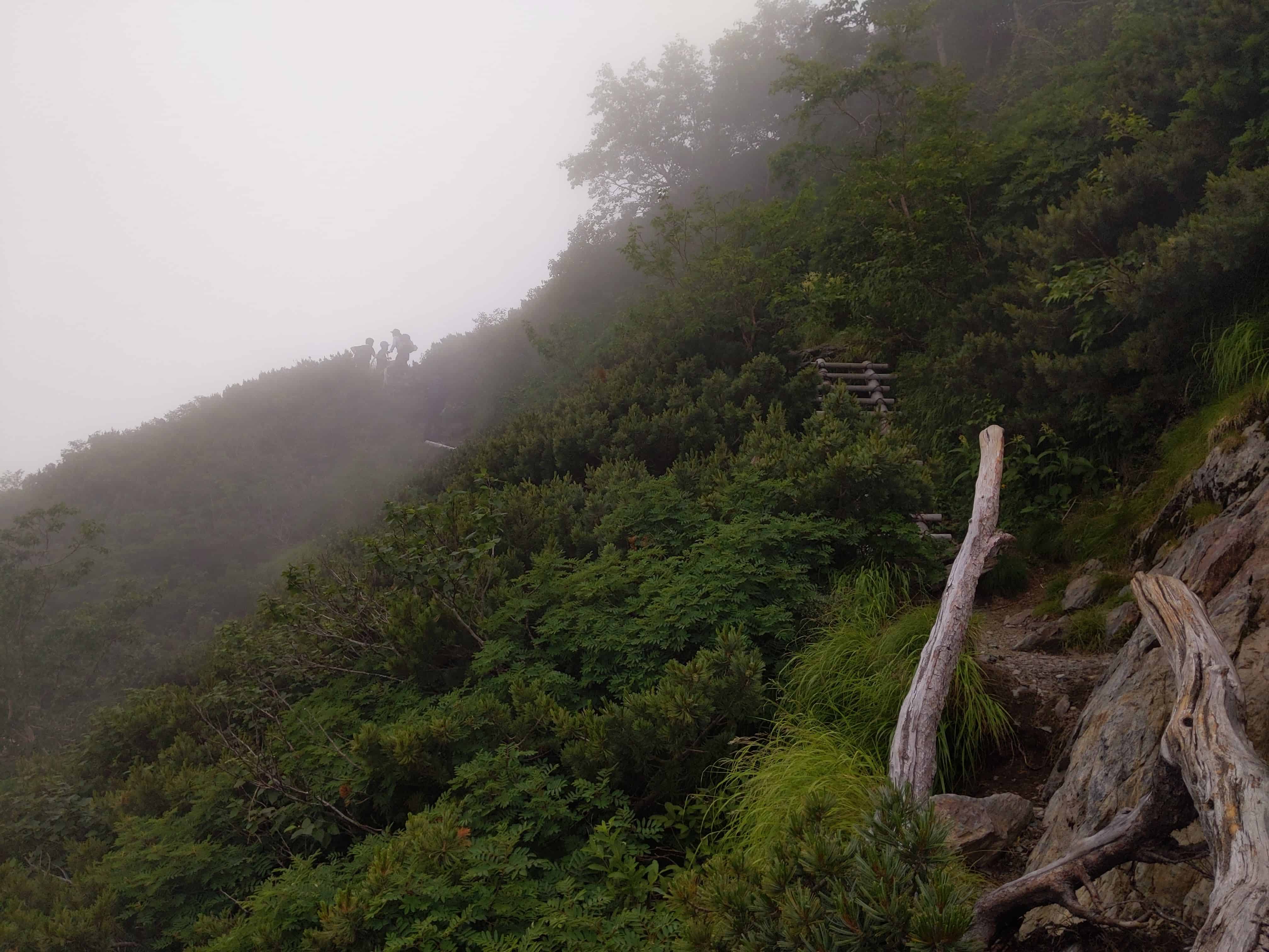
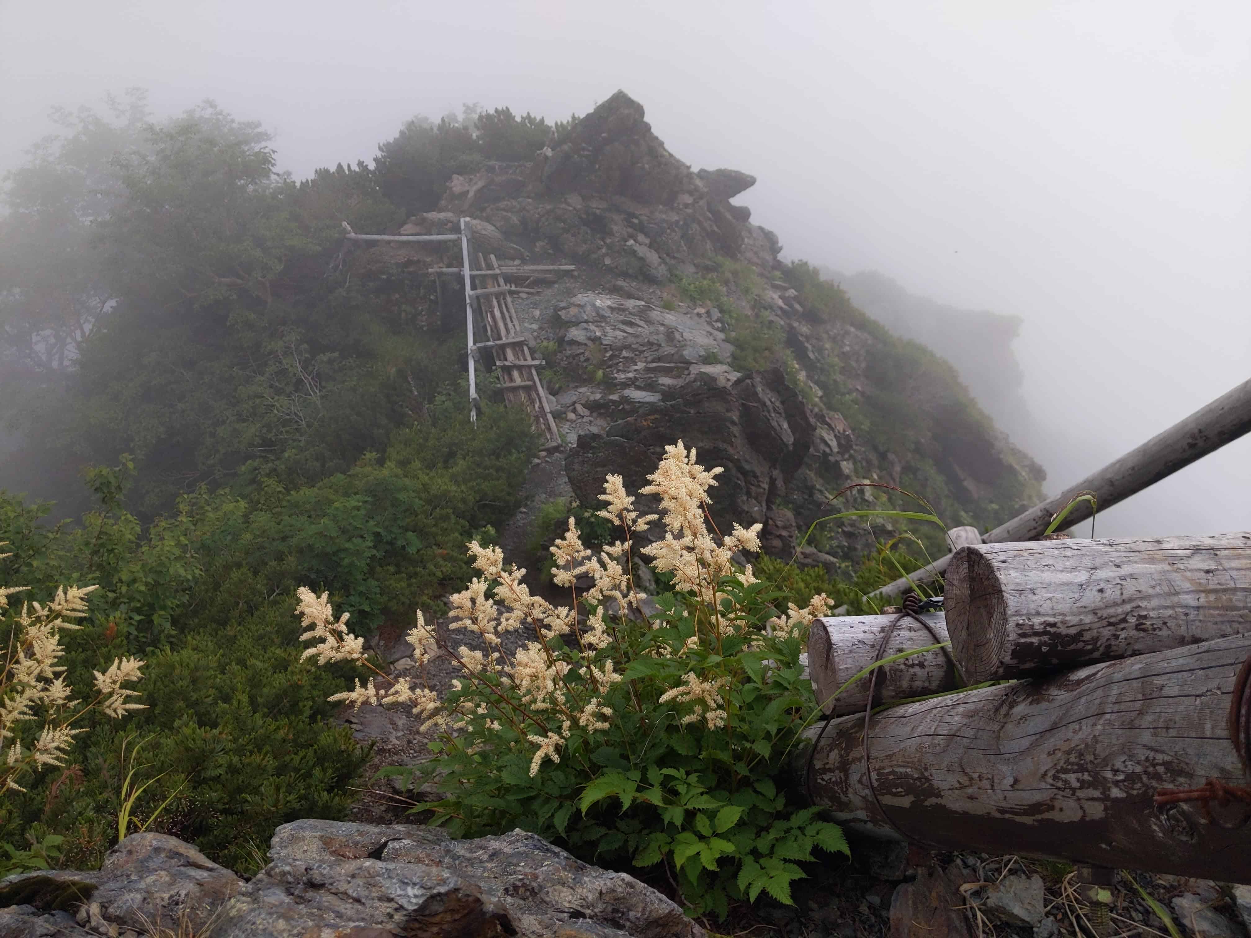
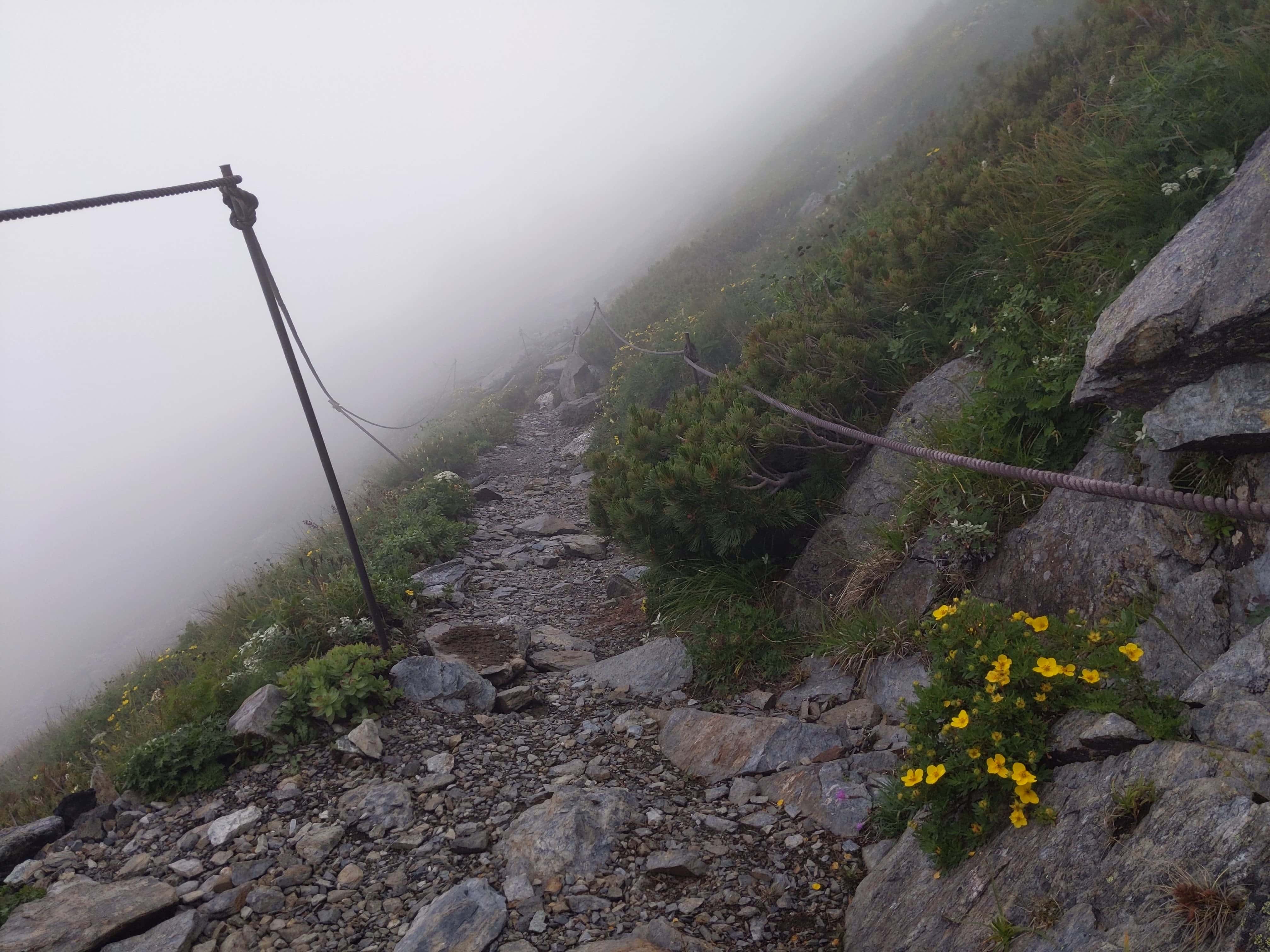
(Day 1) Jul 28, 11:28 AM:
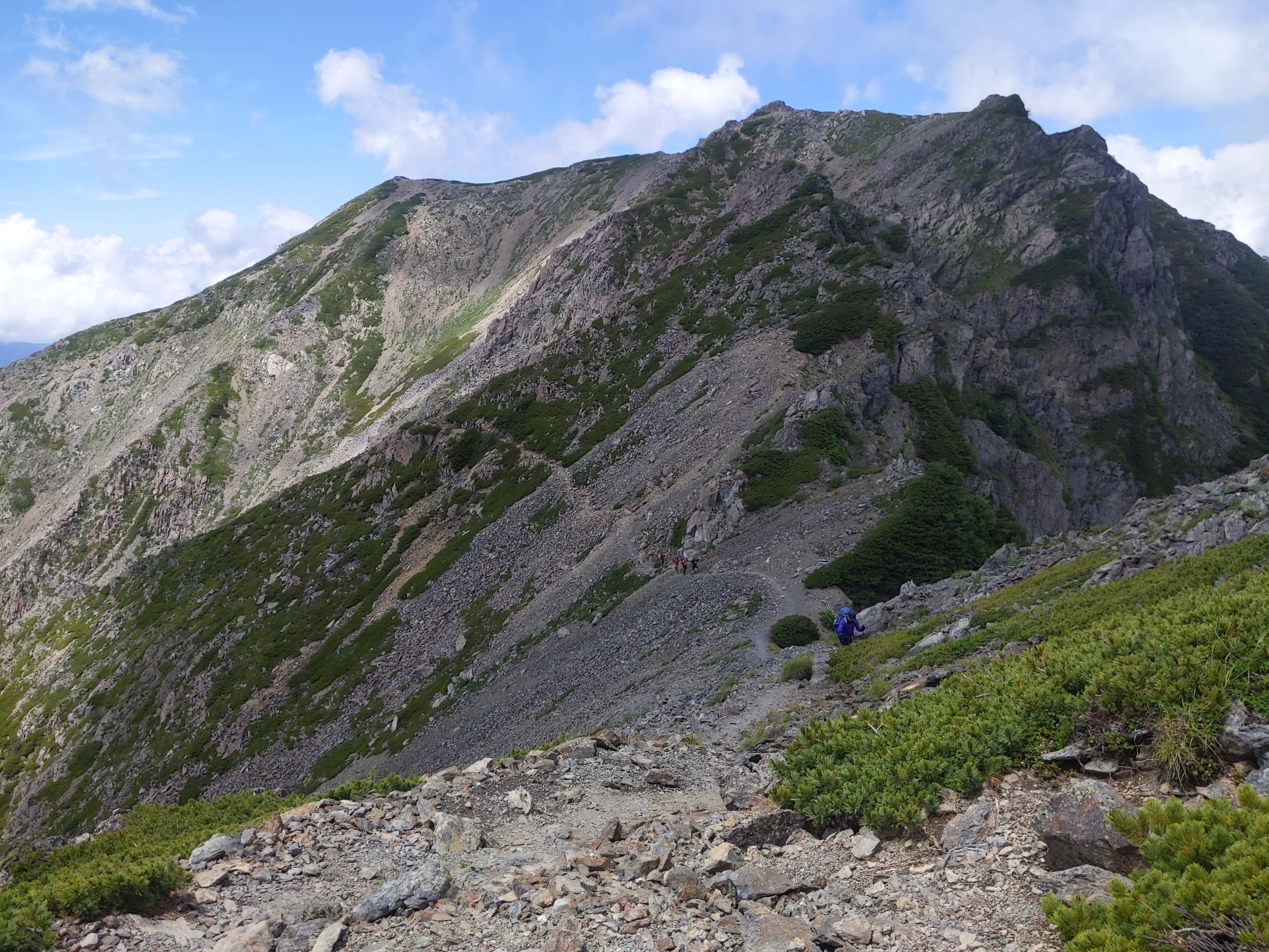
The climb continues
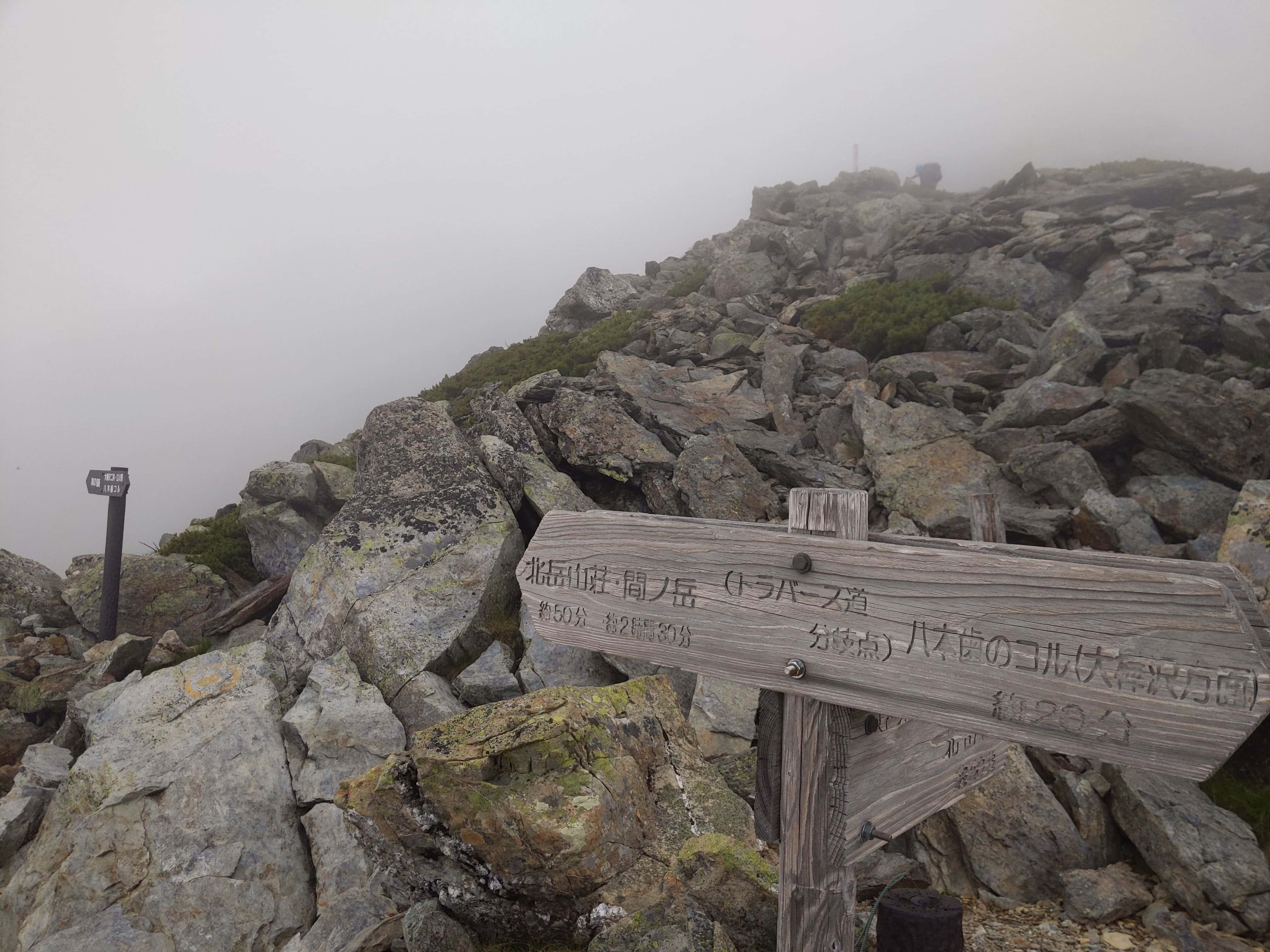
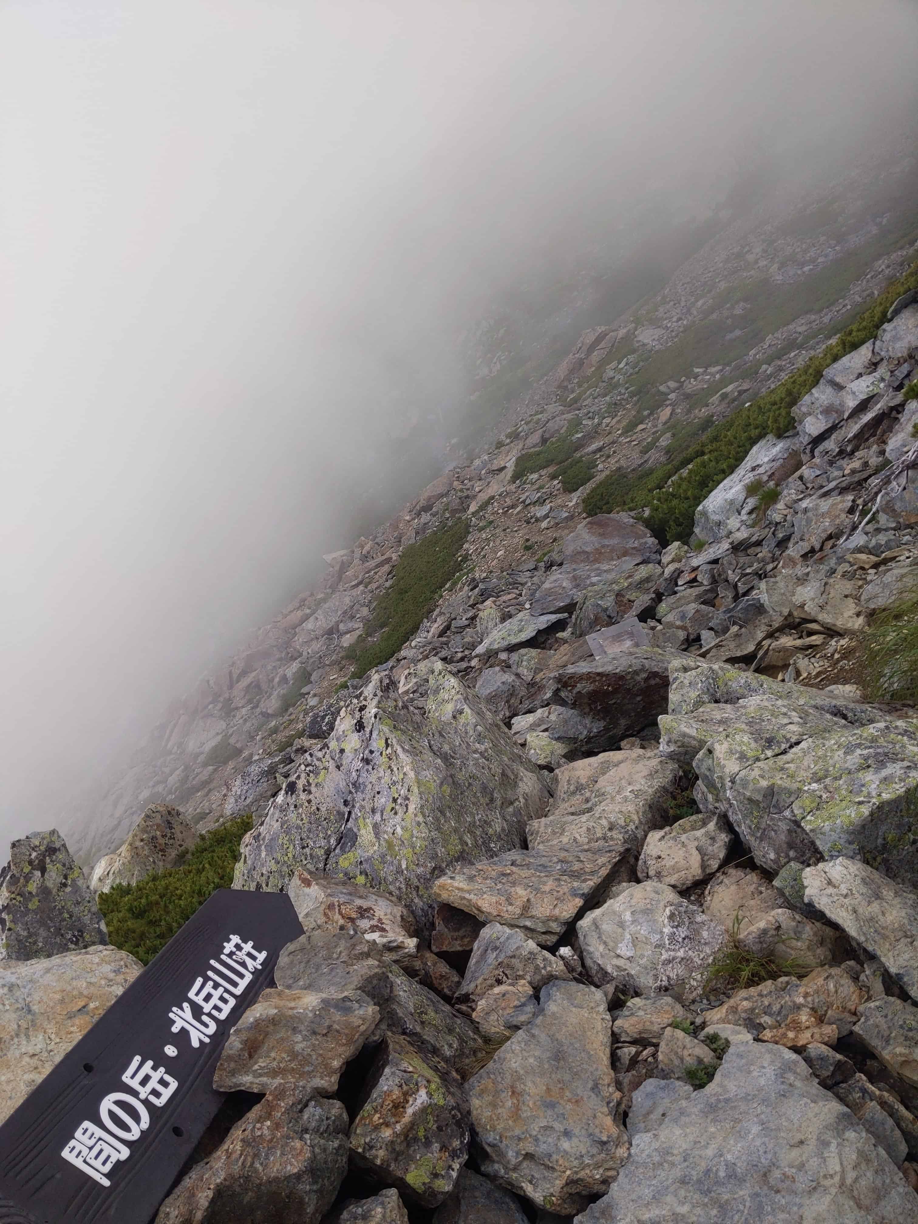
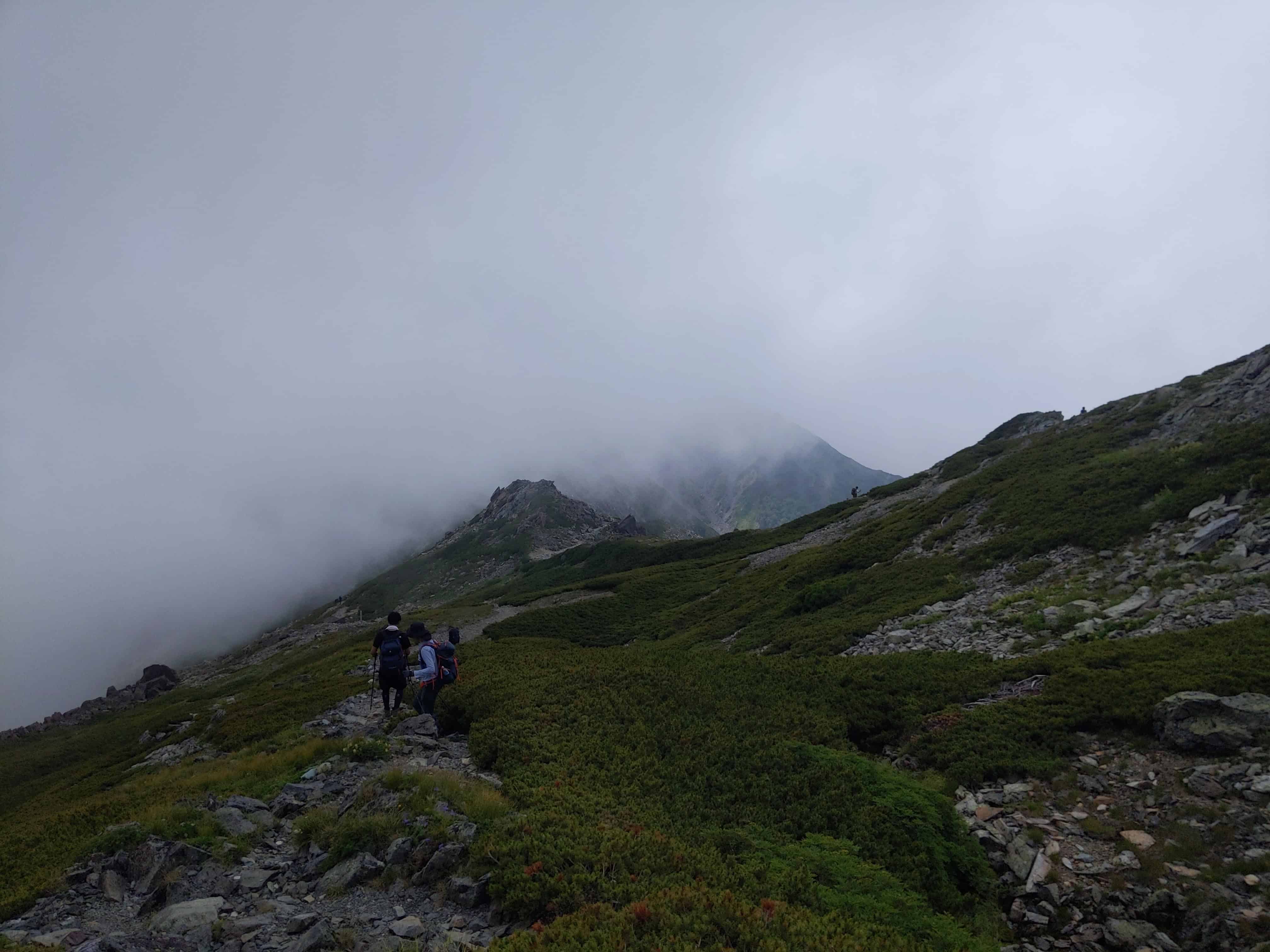
(Day 1) Jul 28, 11:56 AM:
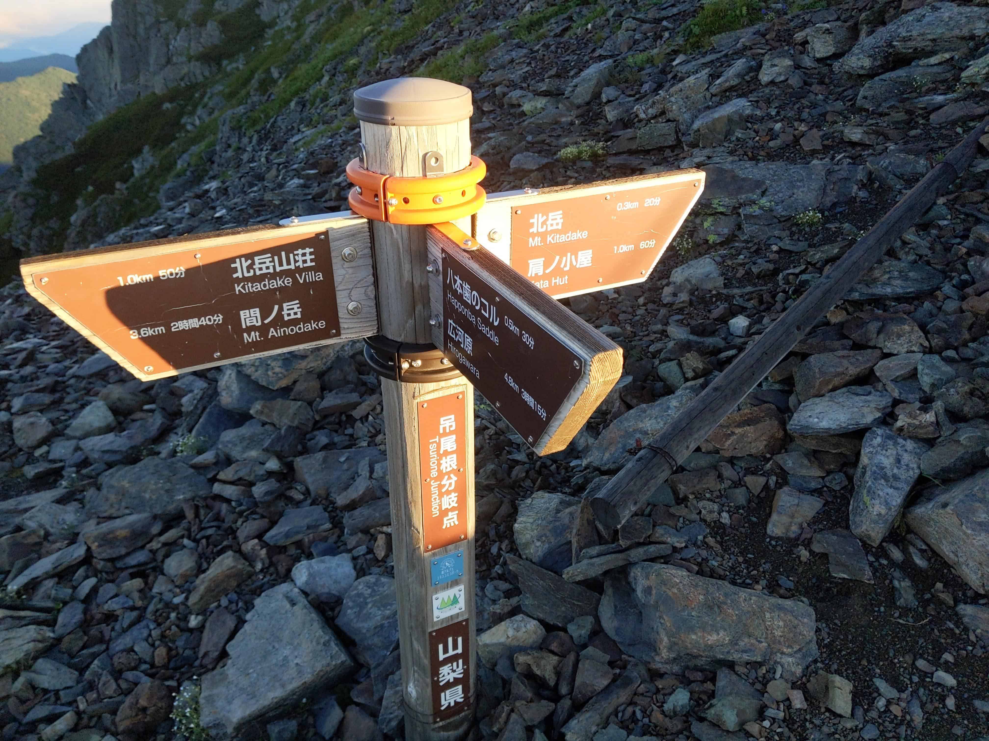
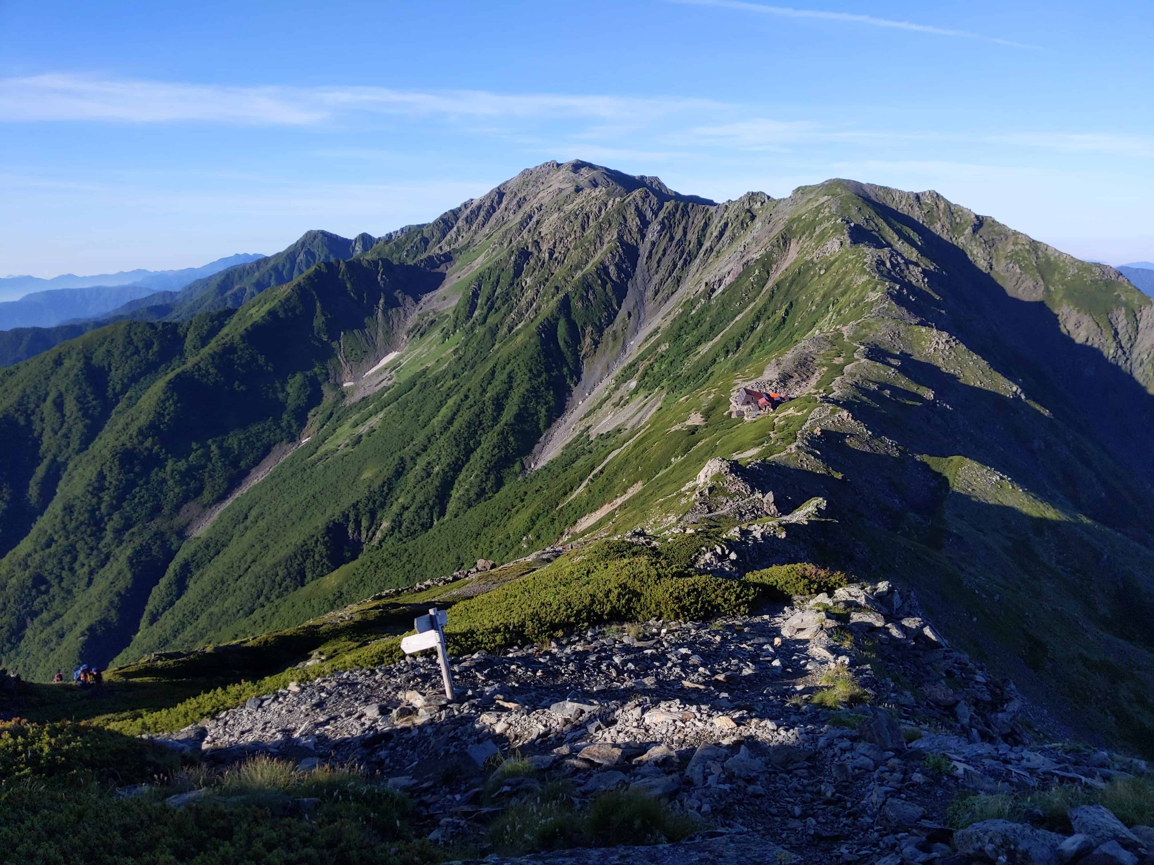
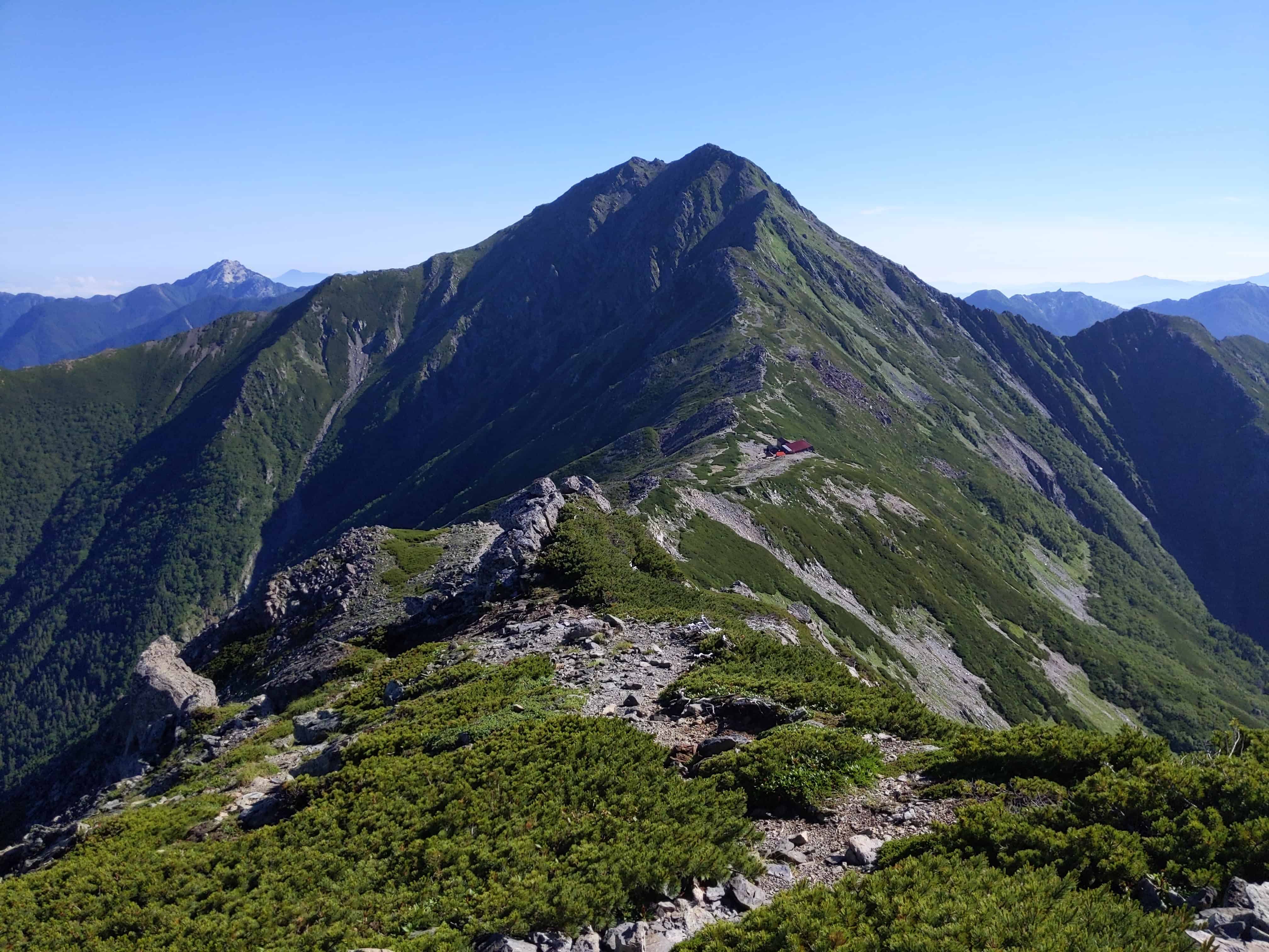
Traversing the mountain towards my first destination, Kita-dake Sanso 北岳山荘.
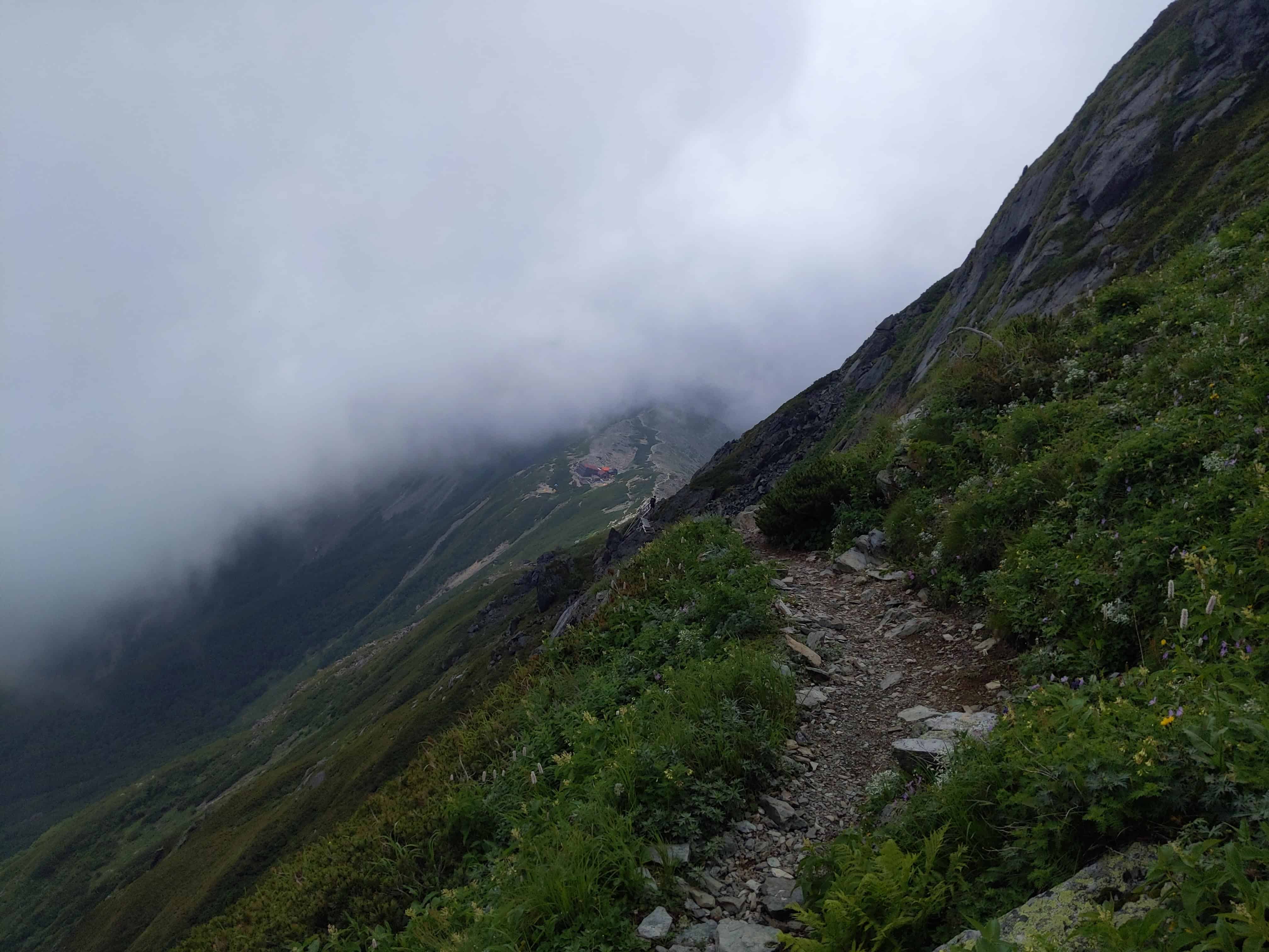
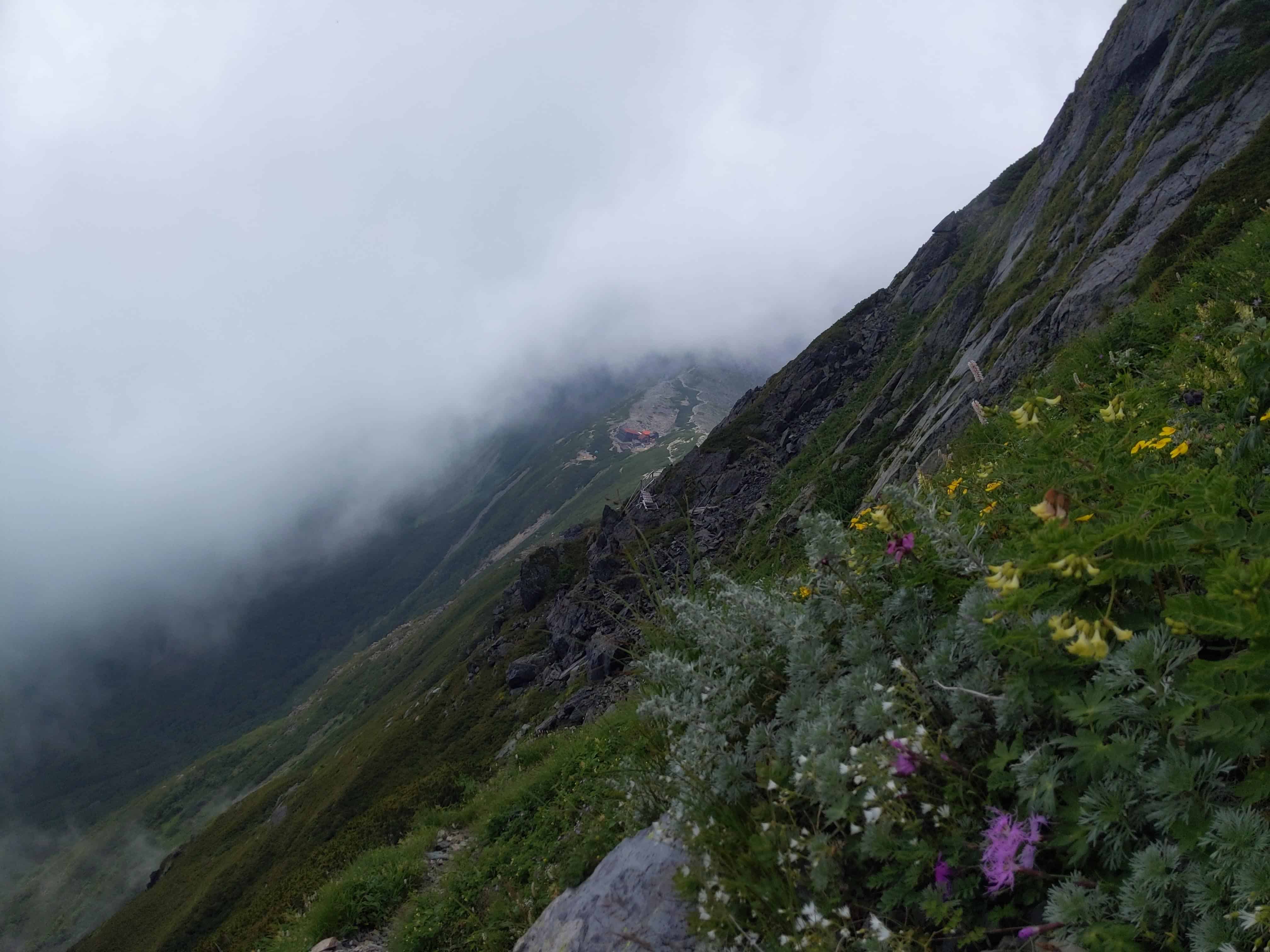
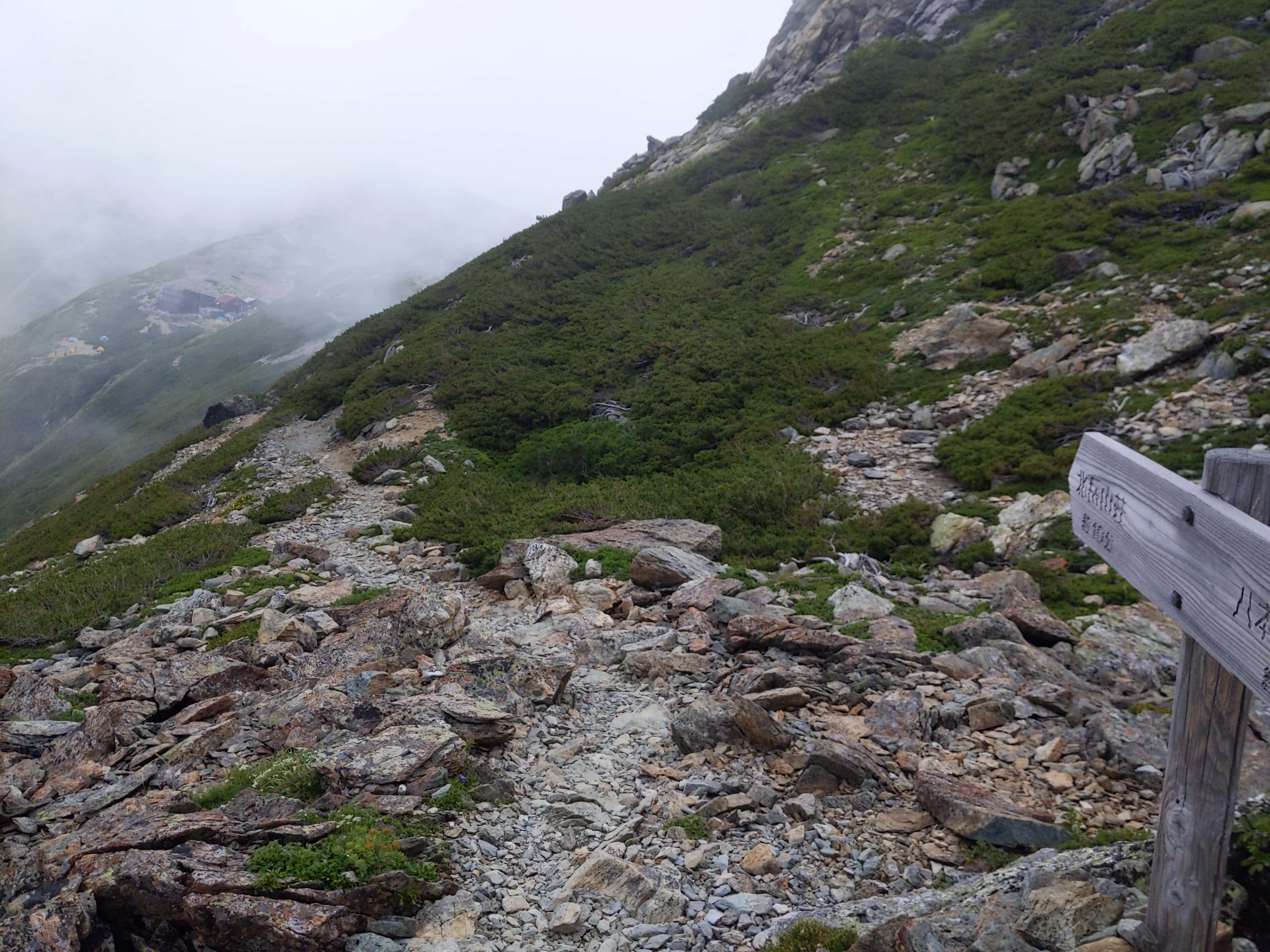
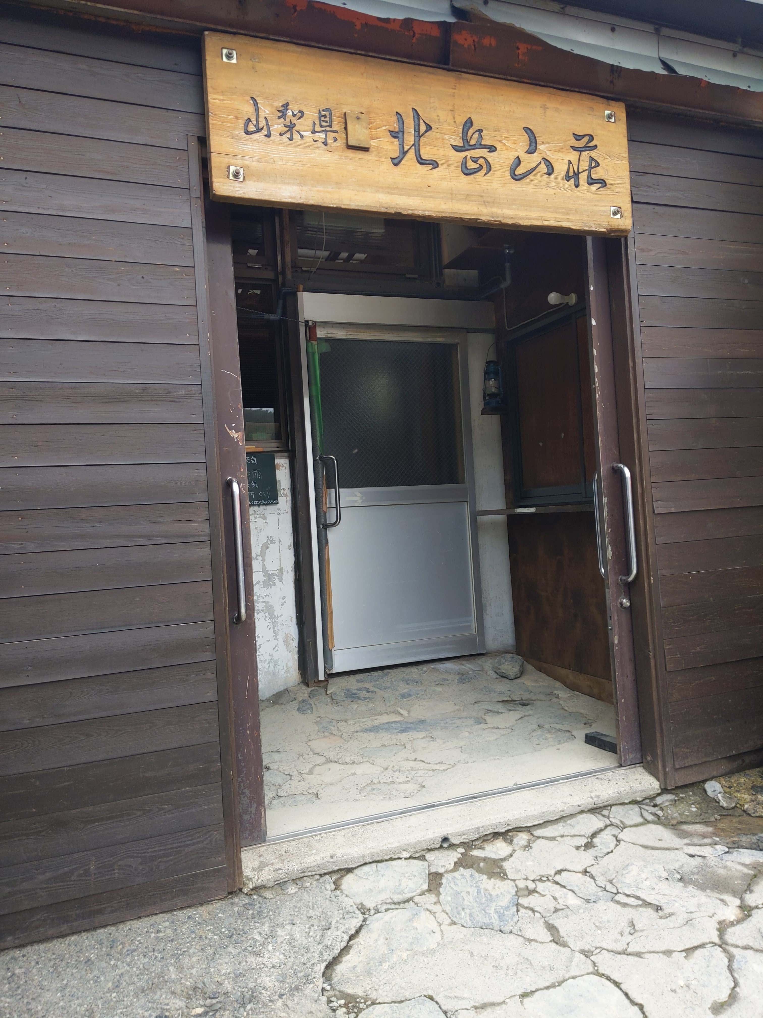
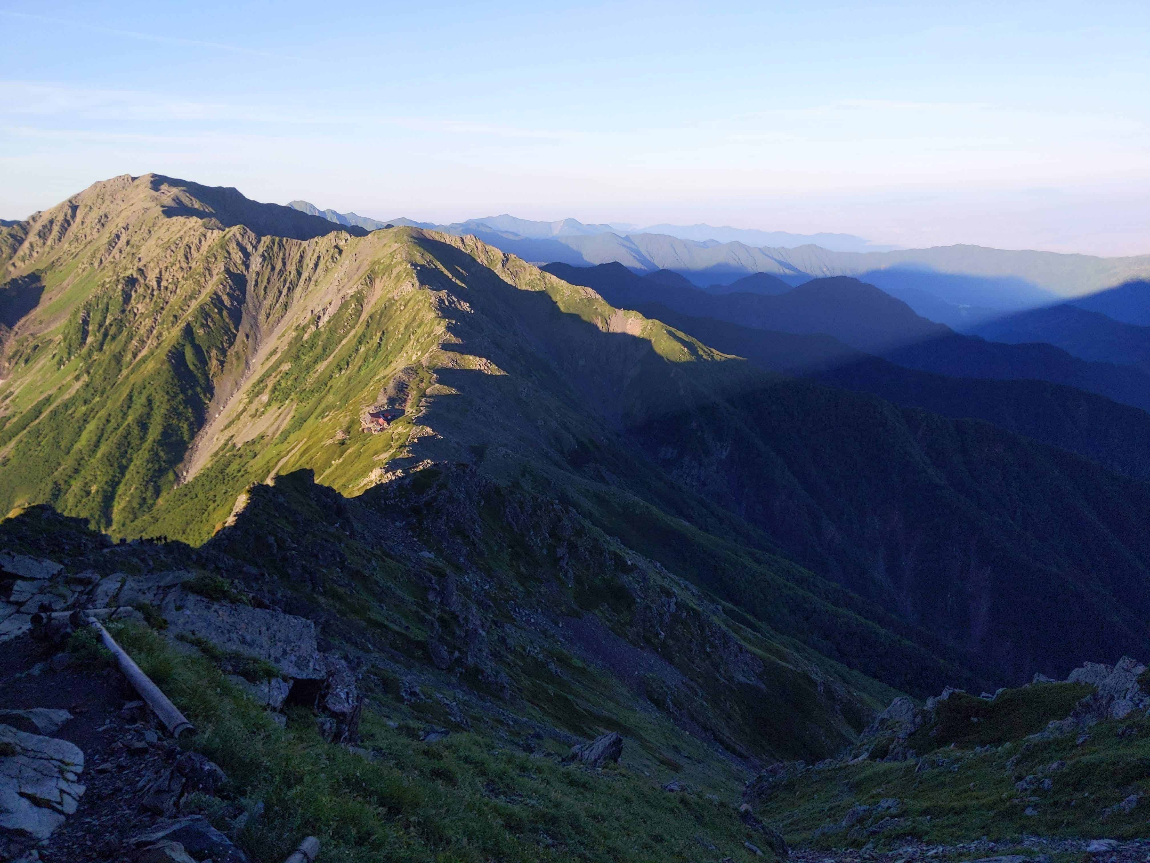
(Day 1) Jul 28, 12:22 PM:
As the fog began to dissipate, the Kita-dake Sanso 北岳山荘 emerged into view. It was a welcoming sight after what was a tough climb!
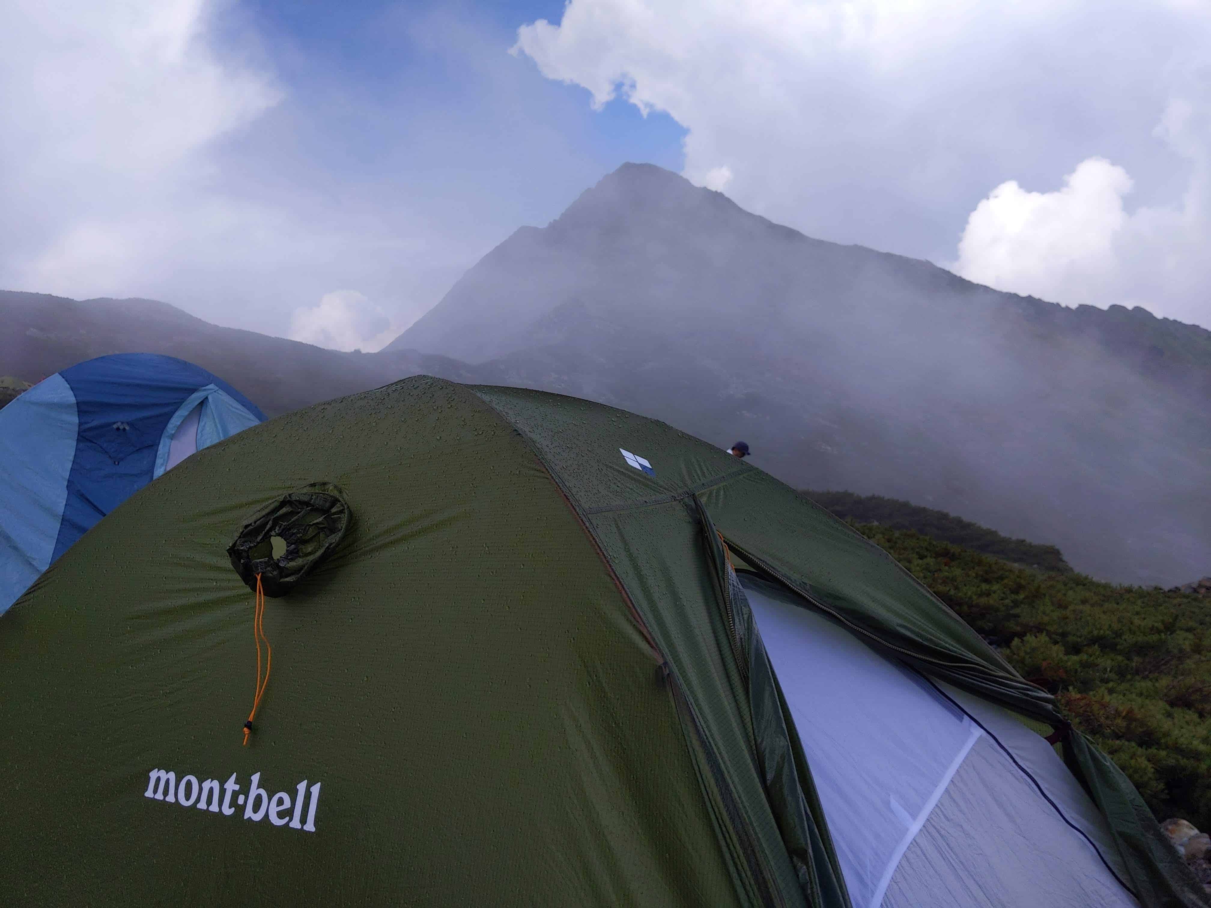
(Day 1) Jul 28, 14:07 PM:
It started raining right after I set my tent up. It was not unexpected as I did this climb during the Rainy (tsuyu) Season 梅雨.
I was extremely fortunate to be able to hide in my tent and avoid the rain. For that, I am very grateful.
Since I woke up very early that day to catch the first bus, I decided to take a nap while waiting for the rain to dissipate.
For the next hour or so, thunder kept pounding. It sounded louder than I have ever known about thunder. Or maybe it is because of psychological reasons; I realized I'm around 10000 feet or 3000m in the sky and much closer to this ferocious element of nature, which isn't such a welcoming thought.
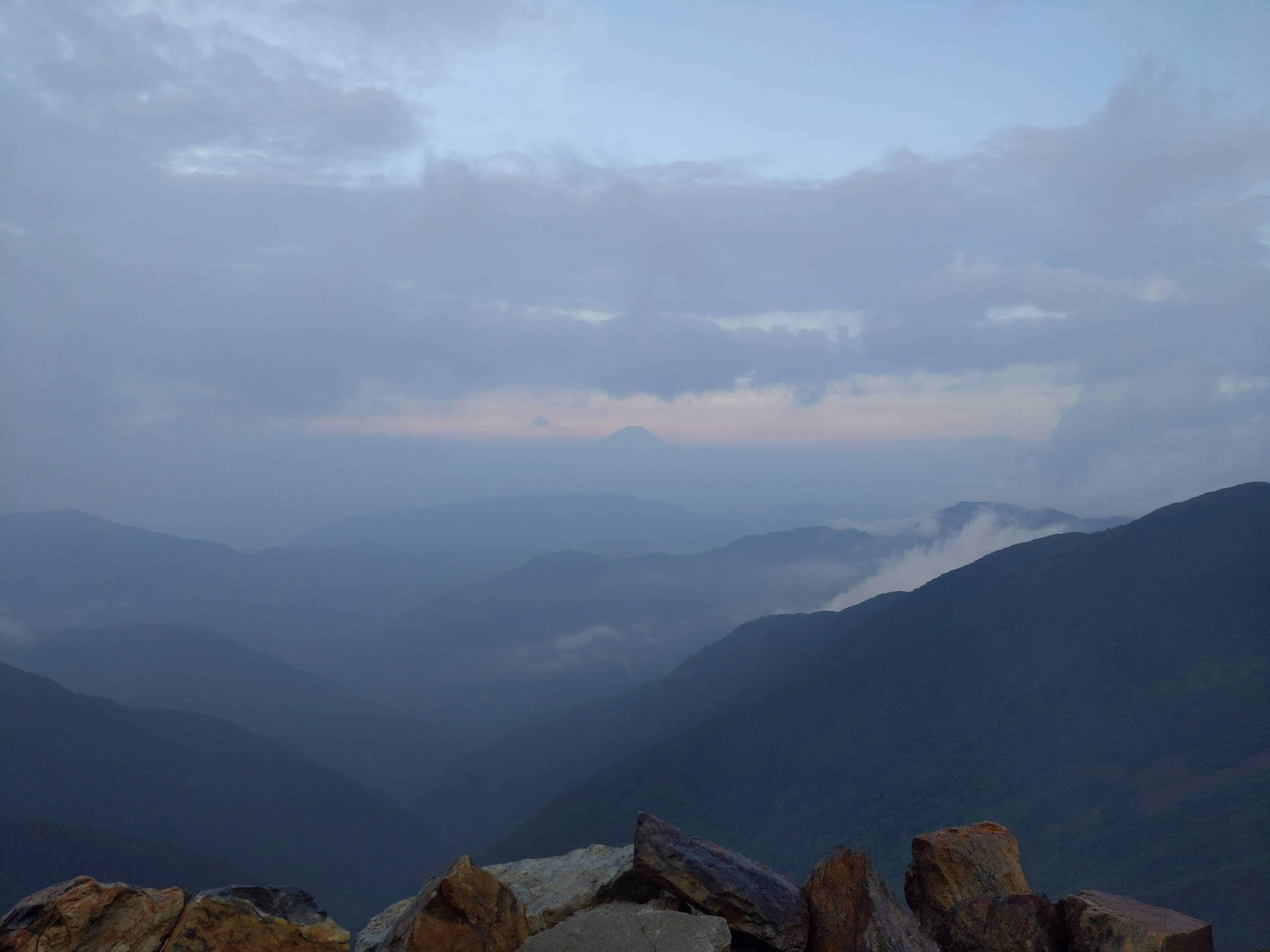
Anyway, once the rain stopped, the peak of Mount Kita-dake 北岳 can be seen.
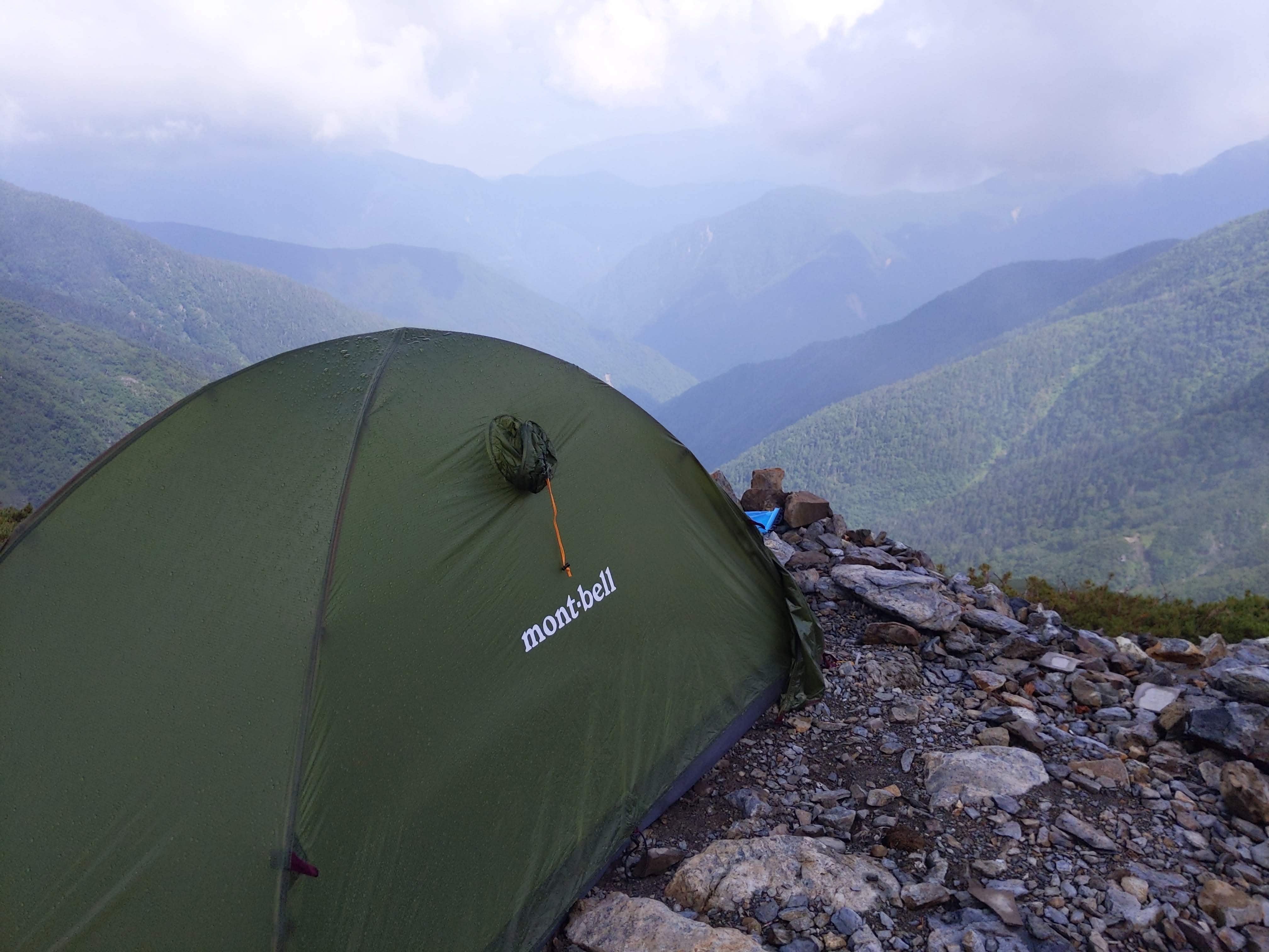
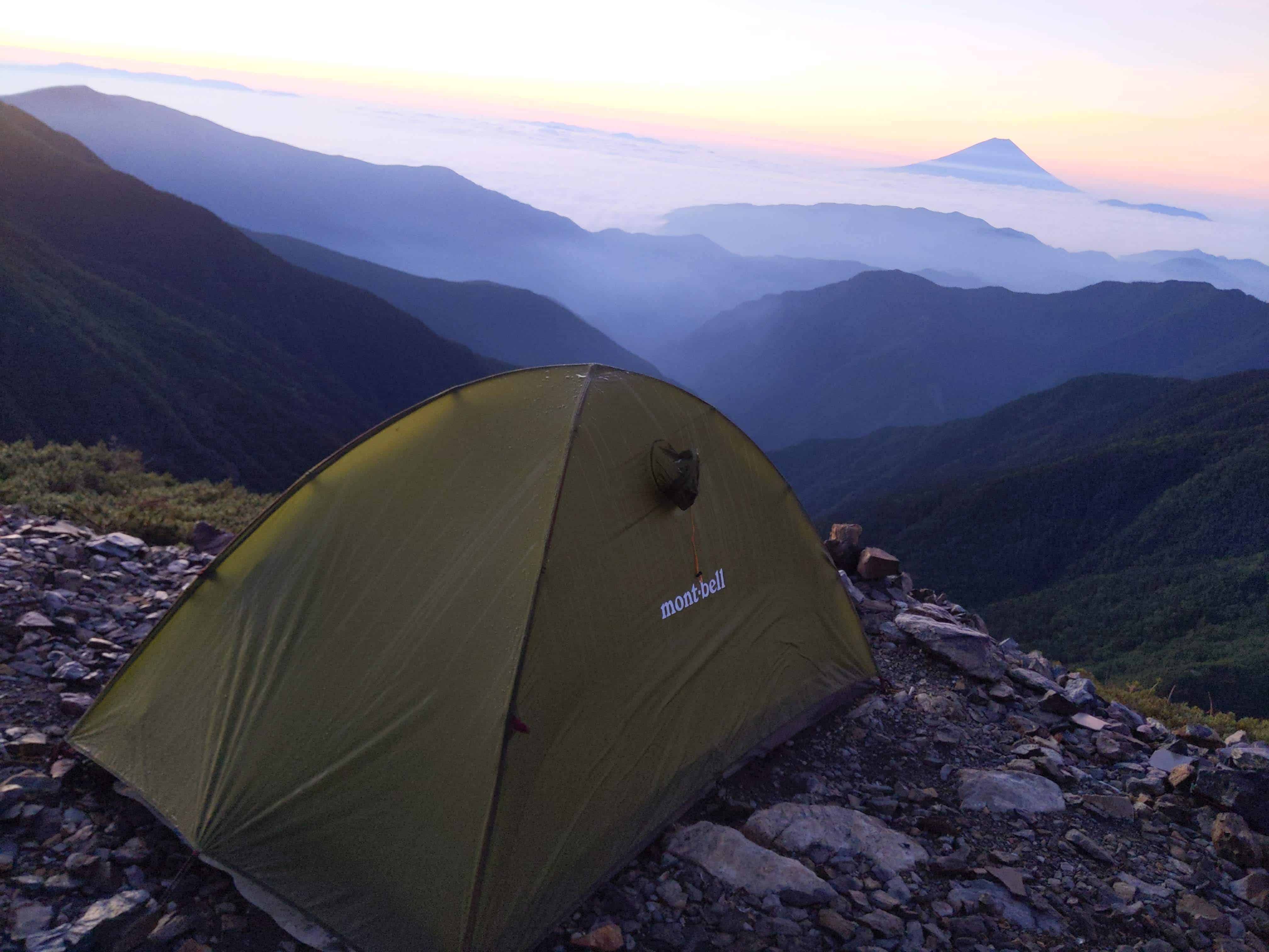
(Day 1) Jul 28, 14:08 PM:
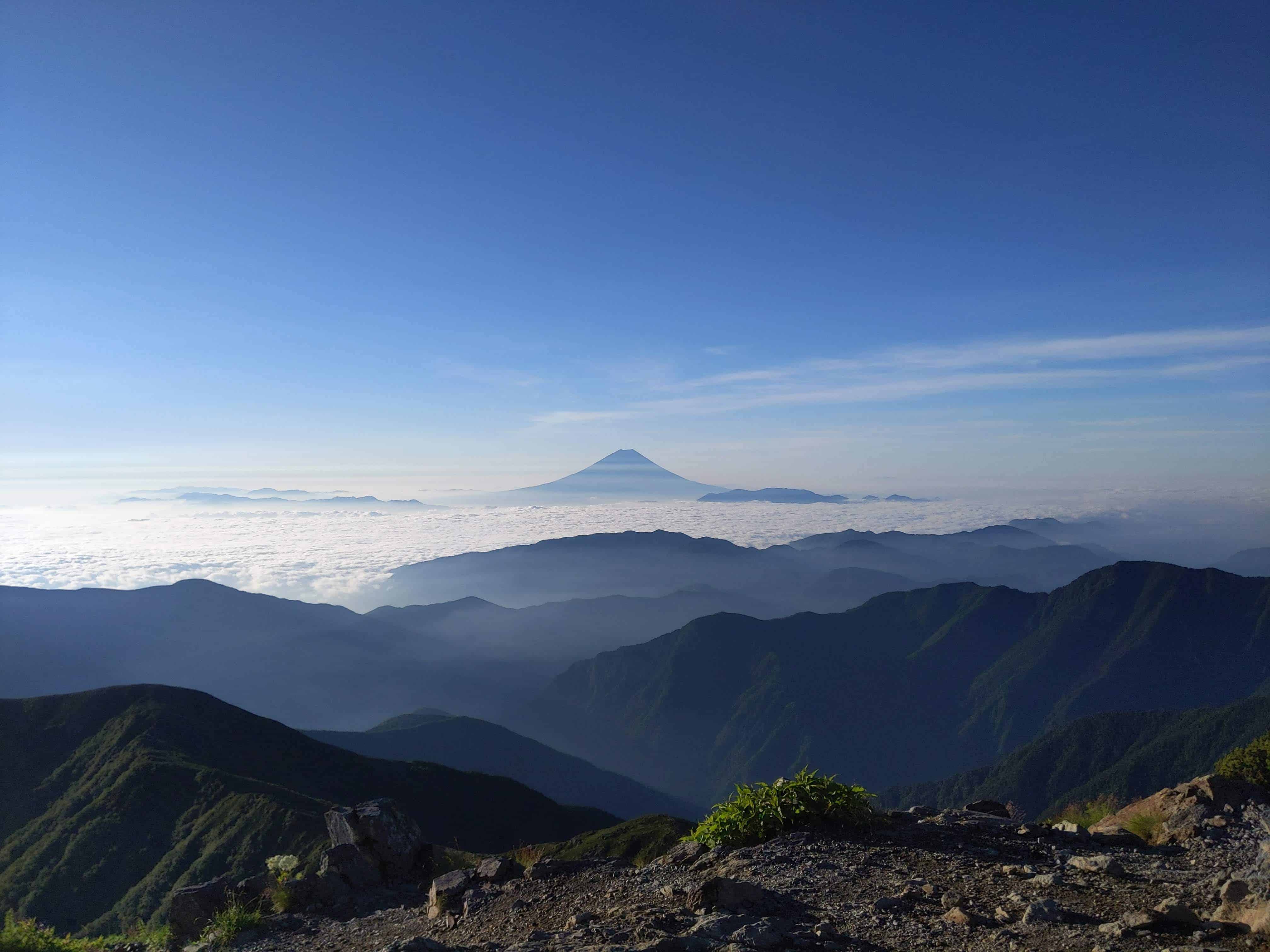
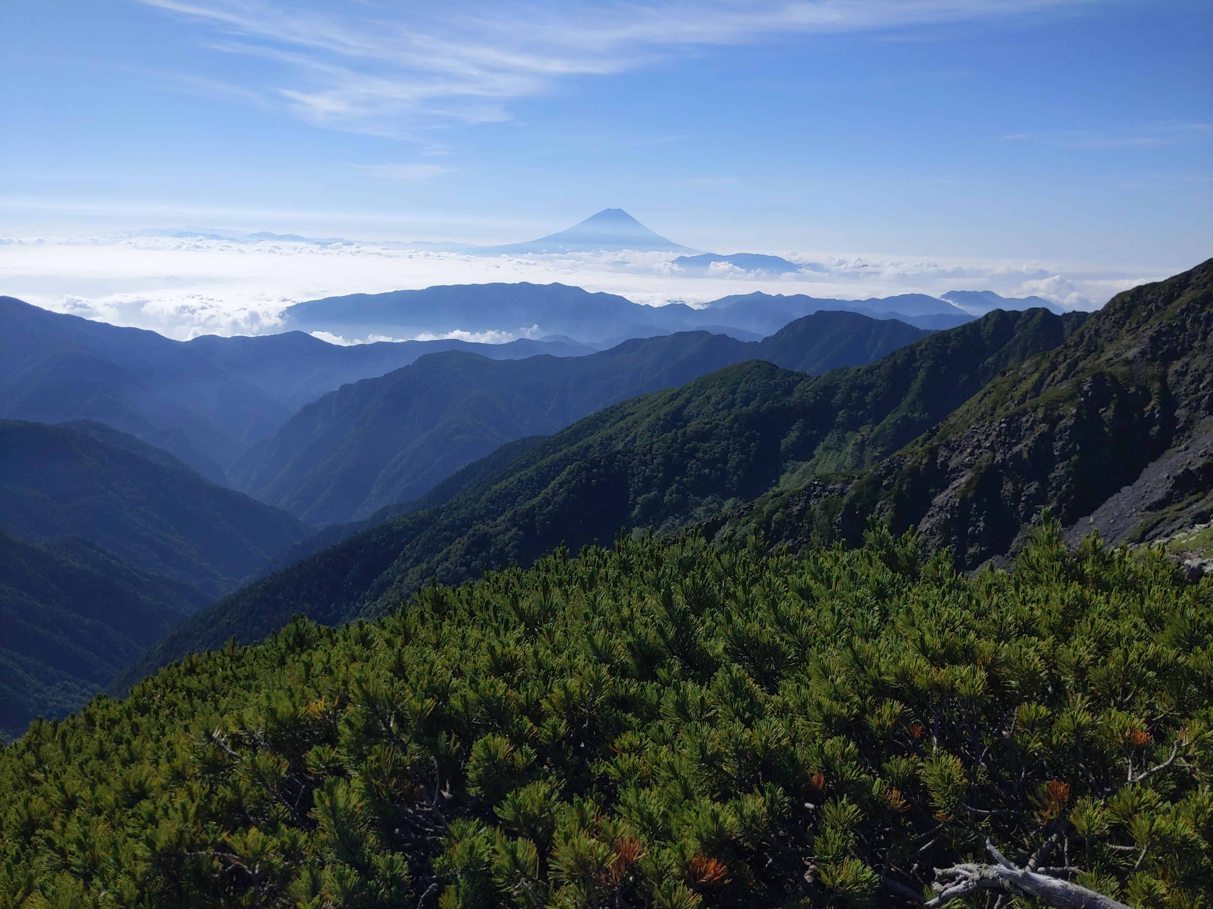
Chose a good spot for the night. Beyond the clouds lie Mount Fuji 富士山. I can't wait for the clouds to clear up!
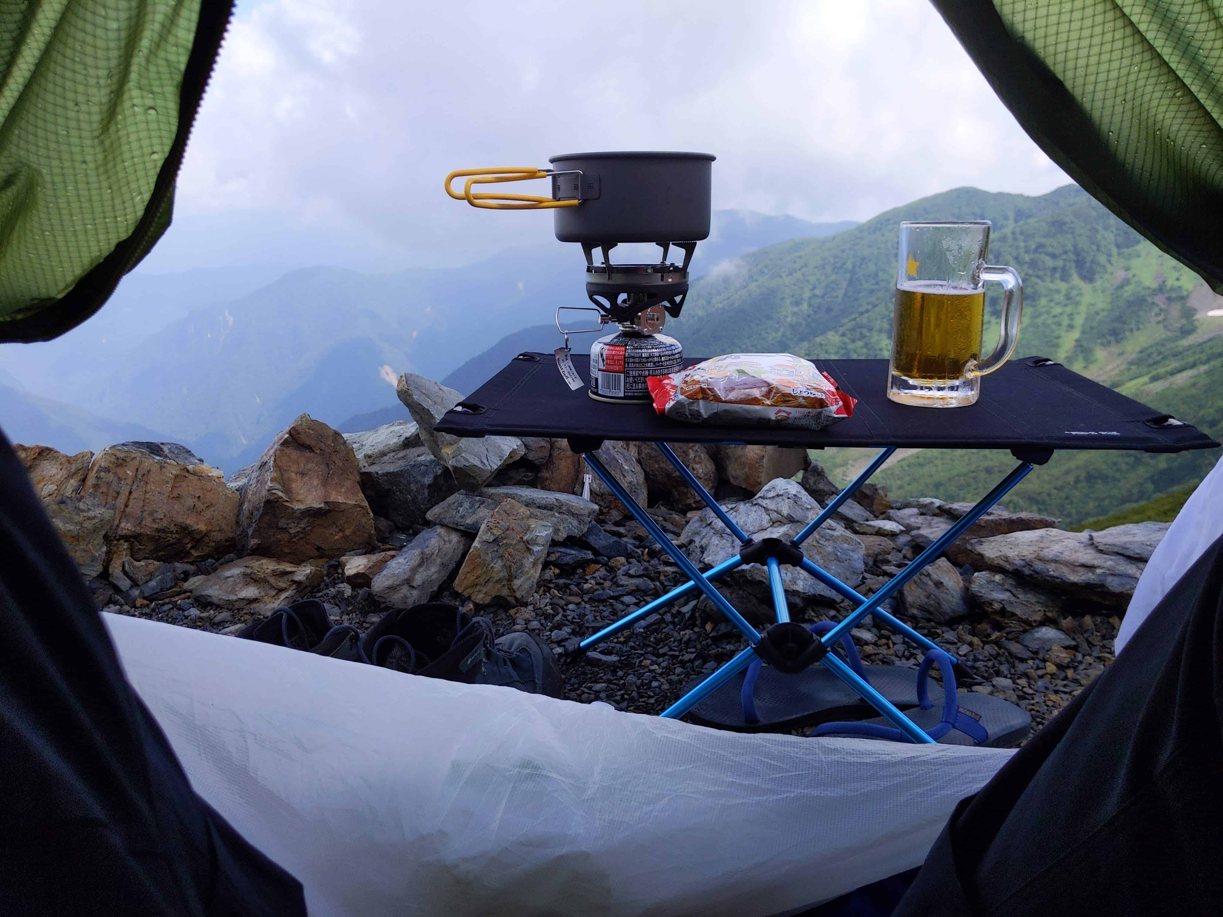
(Day 1) Jul 28, 14:12 PM:
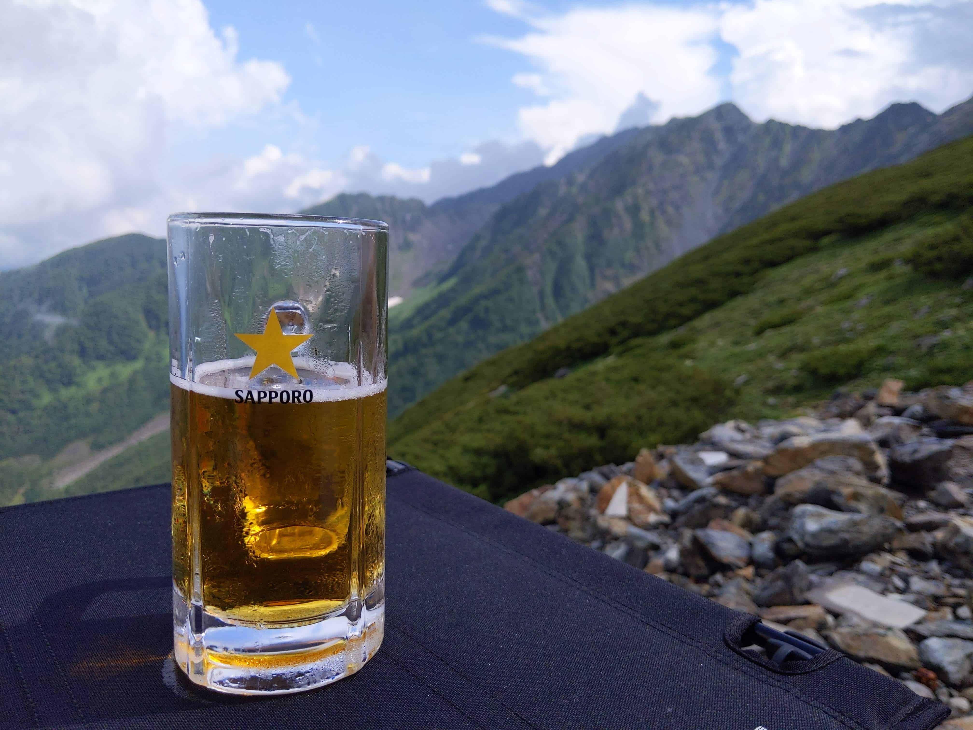
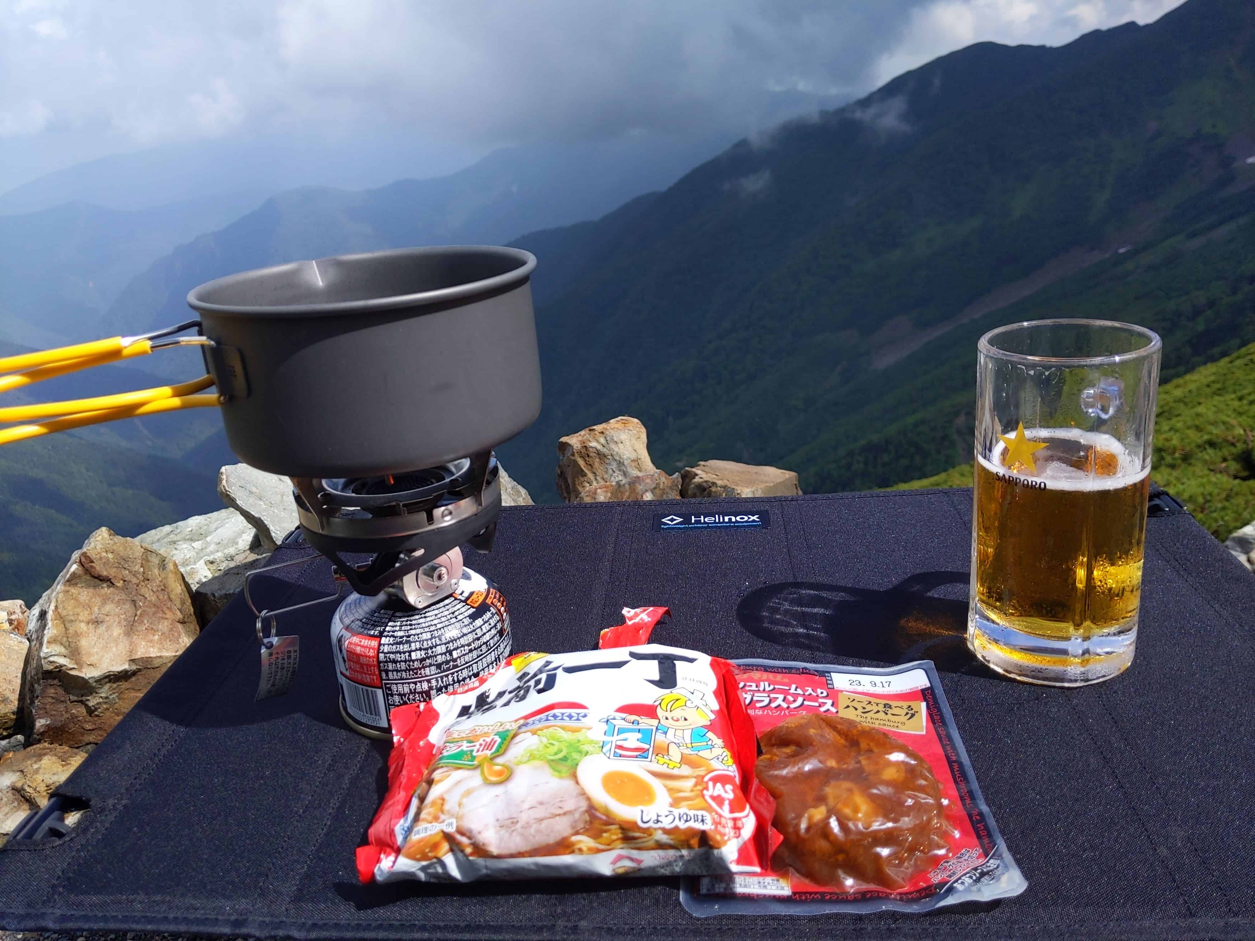
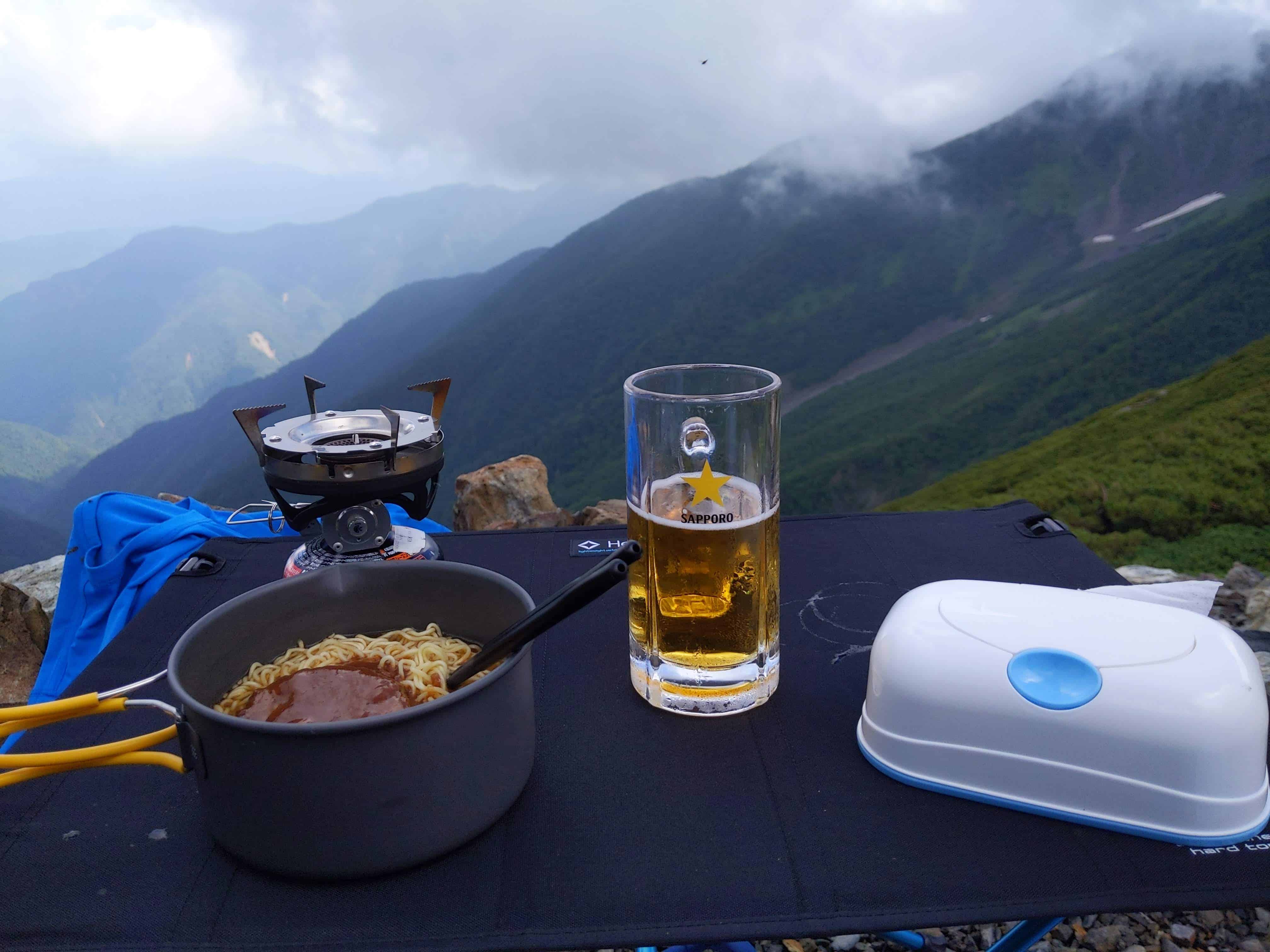
Late lunch with a decent view!
(Day 1) Jul 28, 17:56 PM:
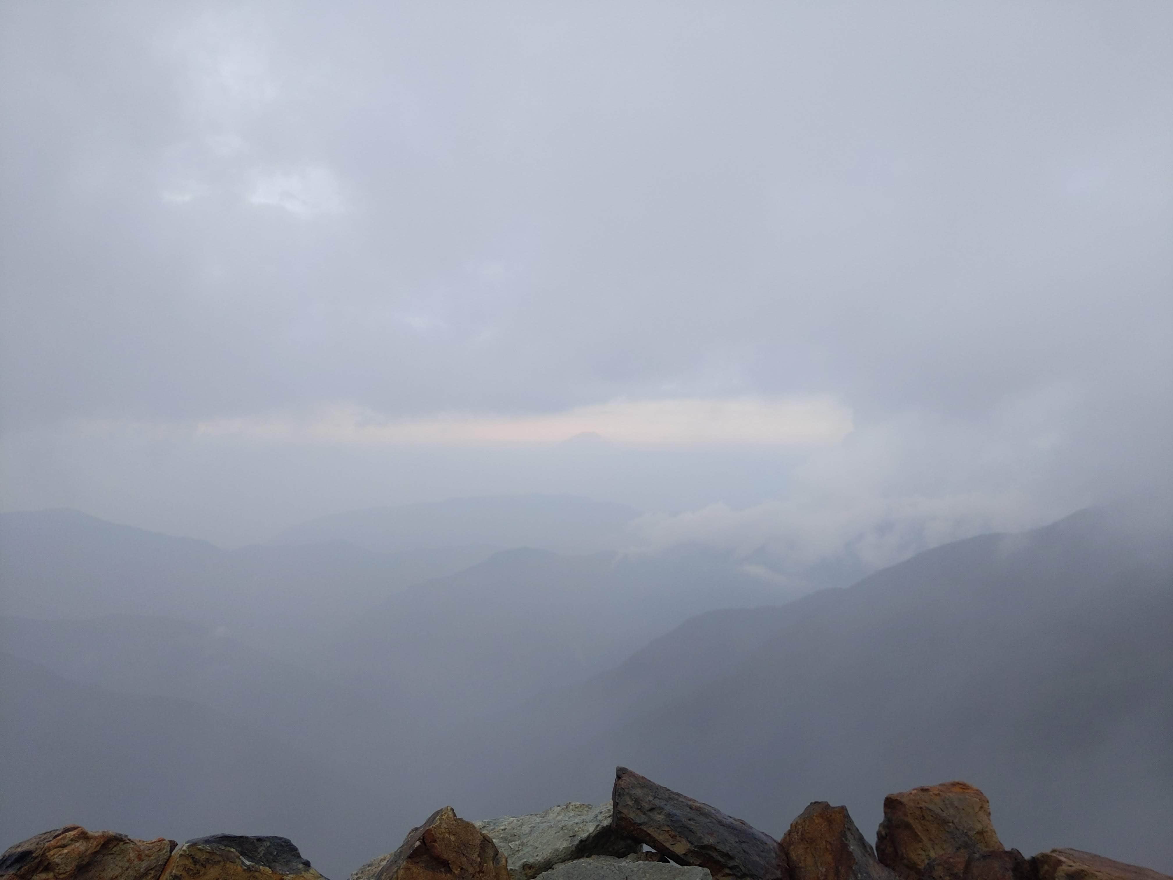
The clouds cleared up a little, slightly revealing Mount Fuji 富士山 in the distance. I can't wait for the view when I wake up tomorrow!
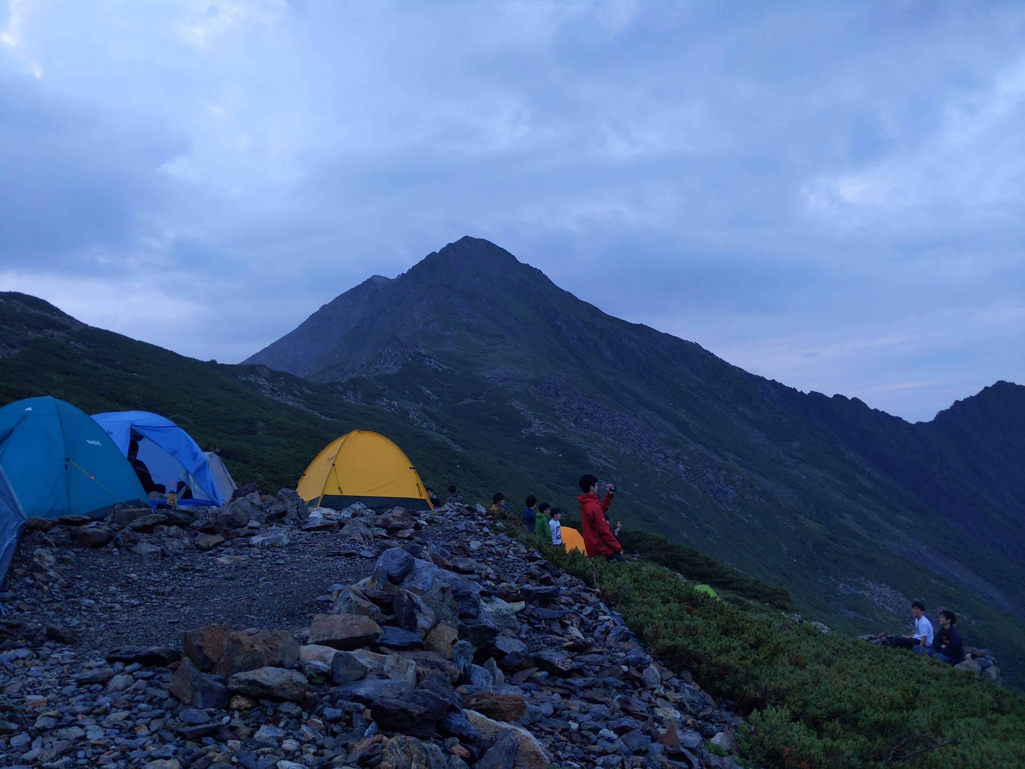
(Day 1) Jul 28, 18:40 PM:
Last look at Mount Kita-dake 北岳 before nightfall.
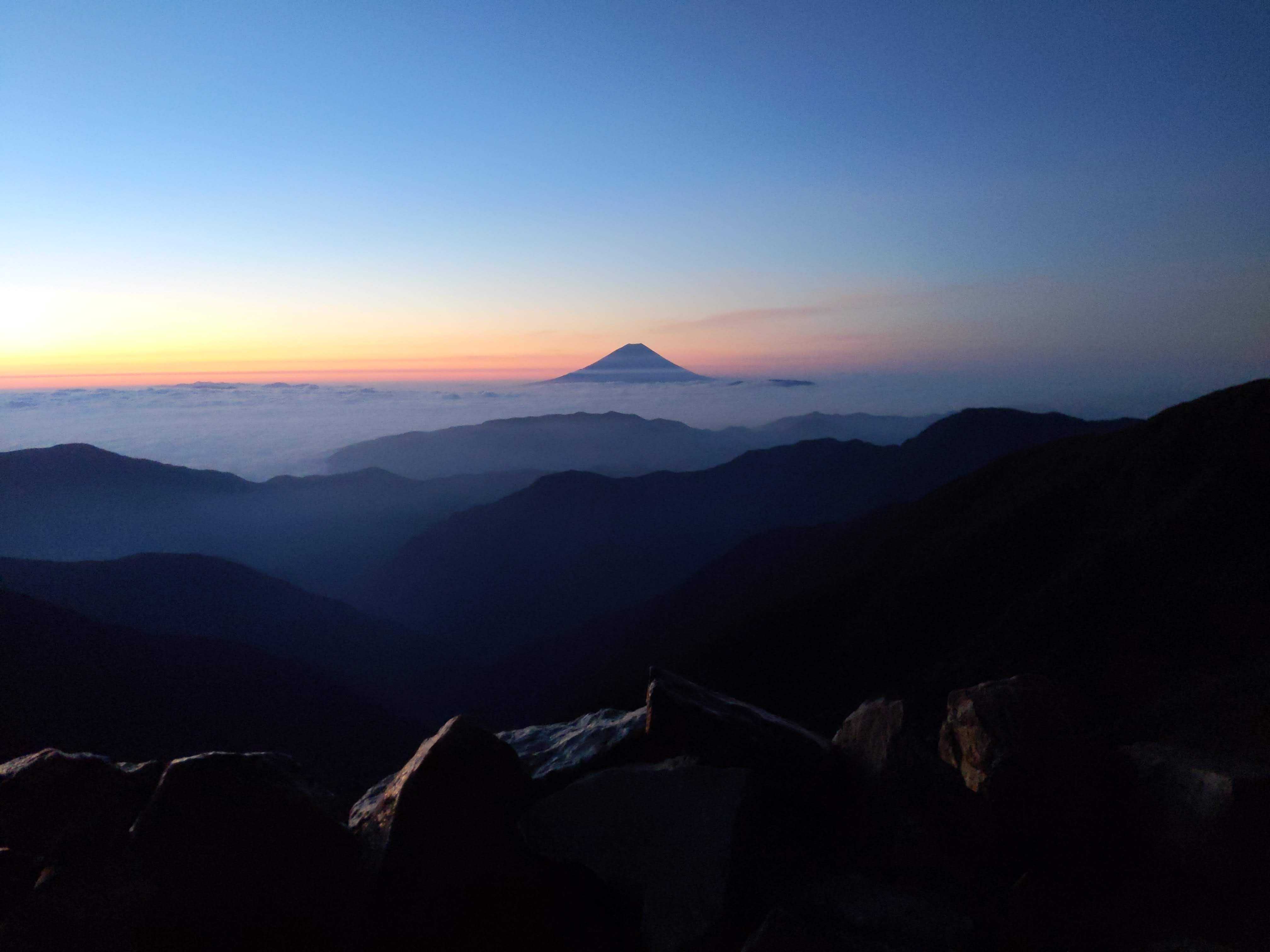
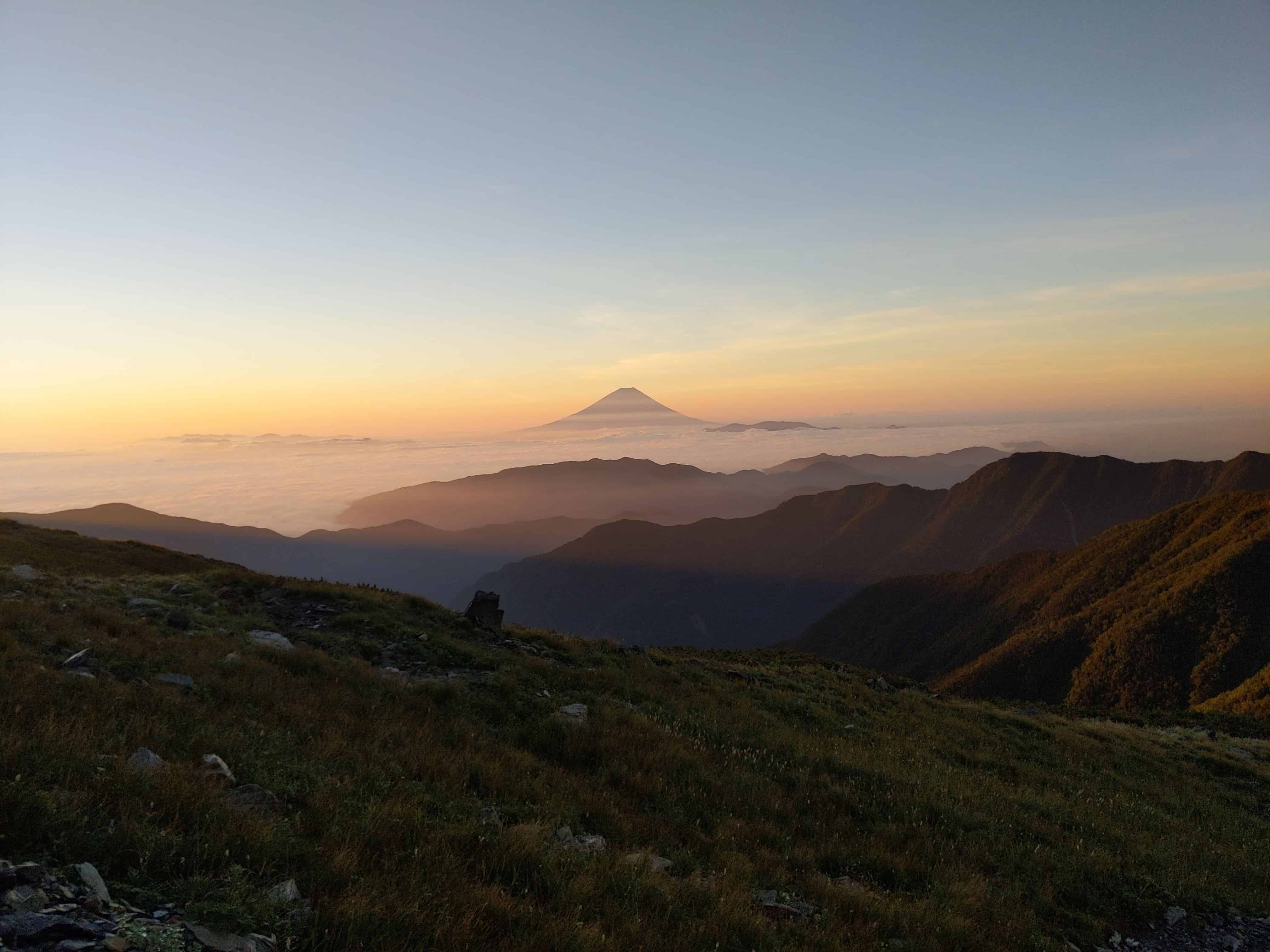
(Day 2) Jul 29, 04:06 AM:
The sky was clear the next morning to give a spectacular view of Mount Fuji 富士山 in the hues of dawn.
(Day 2) Jul 29, 04:51 AM:
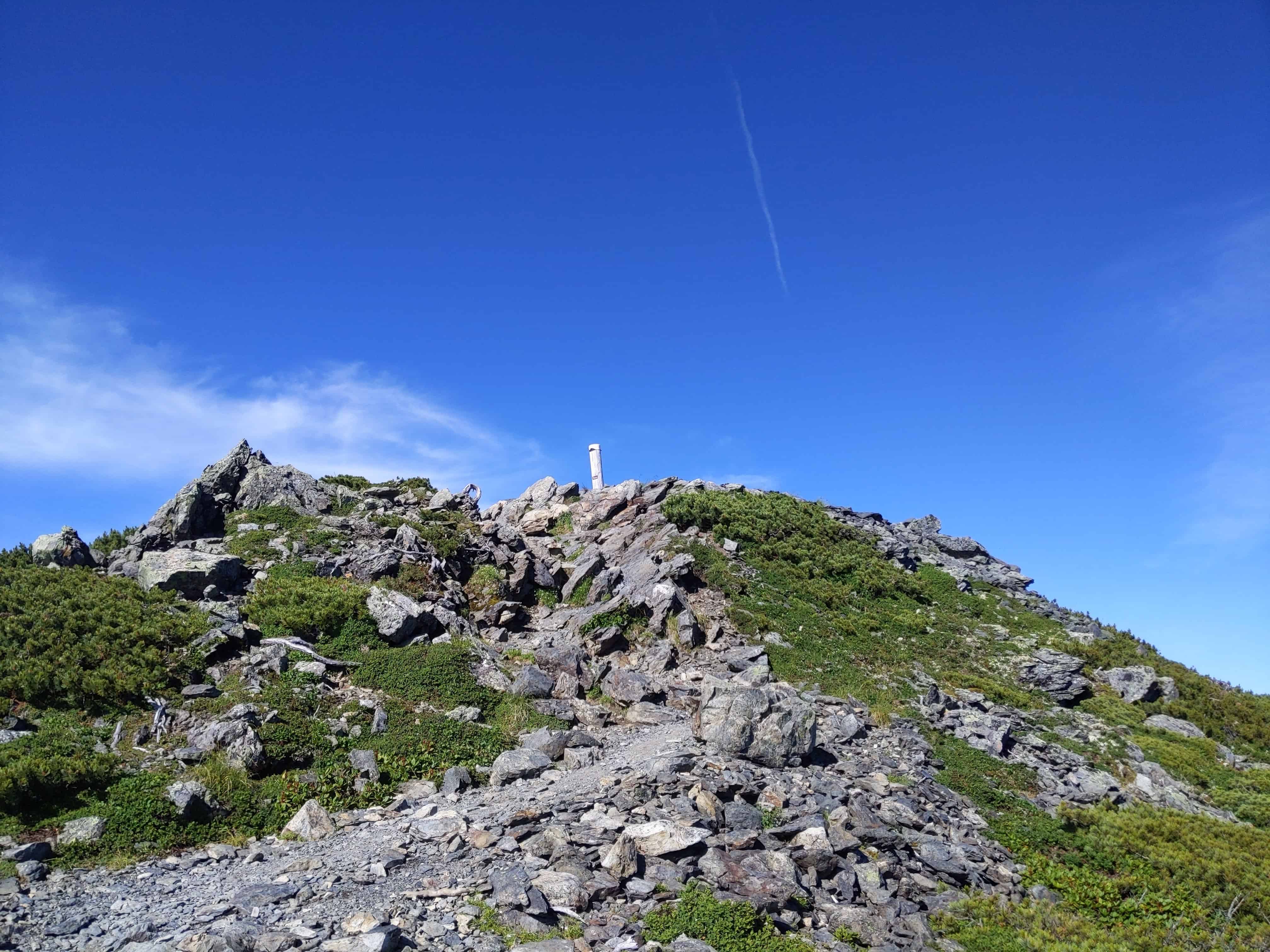
The climb to Mount Kita-dake 北岳 commences.
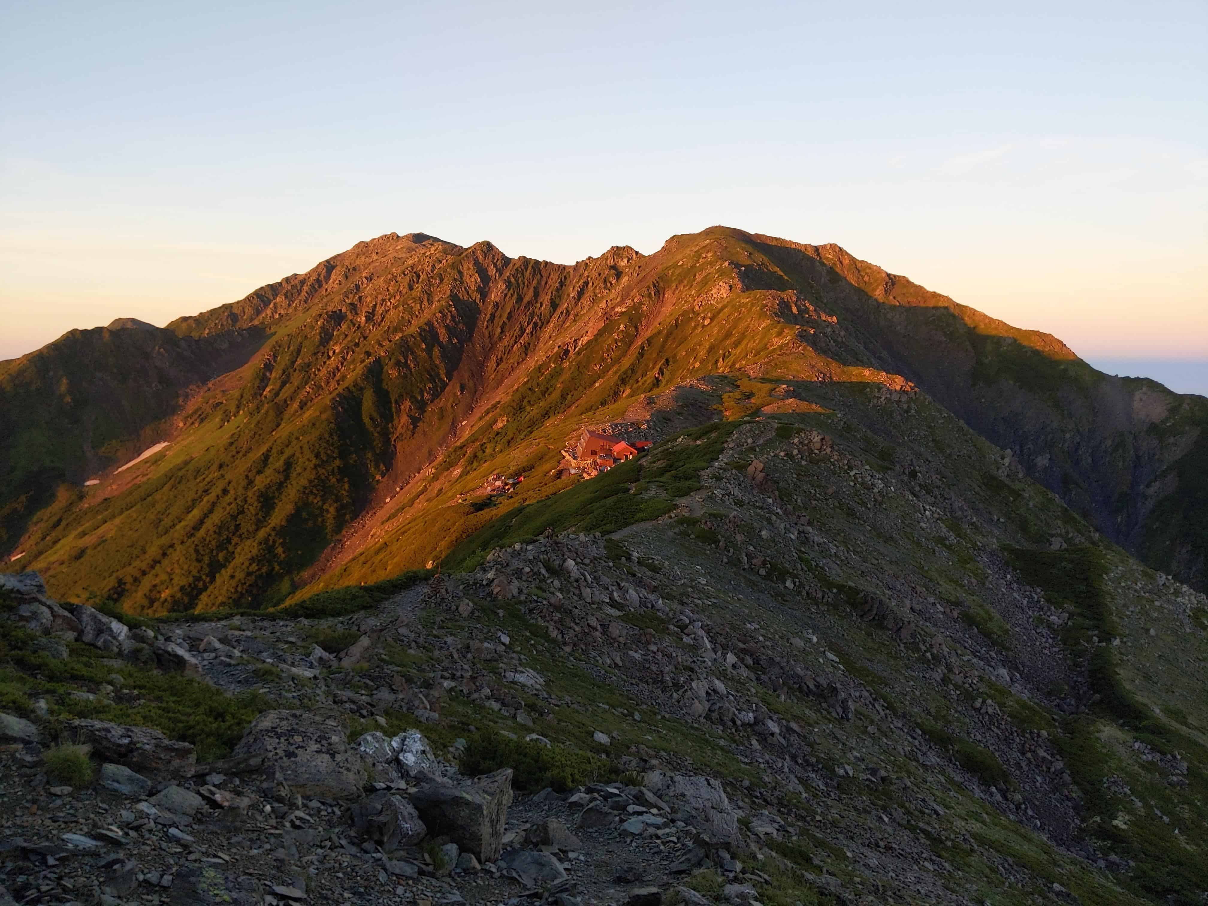
(Day 2) Jul 29, 04:56 AM:
The Kita-dake Sanso 北岳山荘 and the Japanese Southern Alps 南アルプス receiving the first rays of the morning.
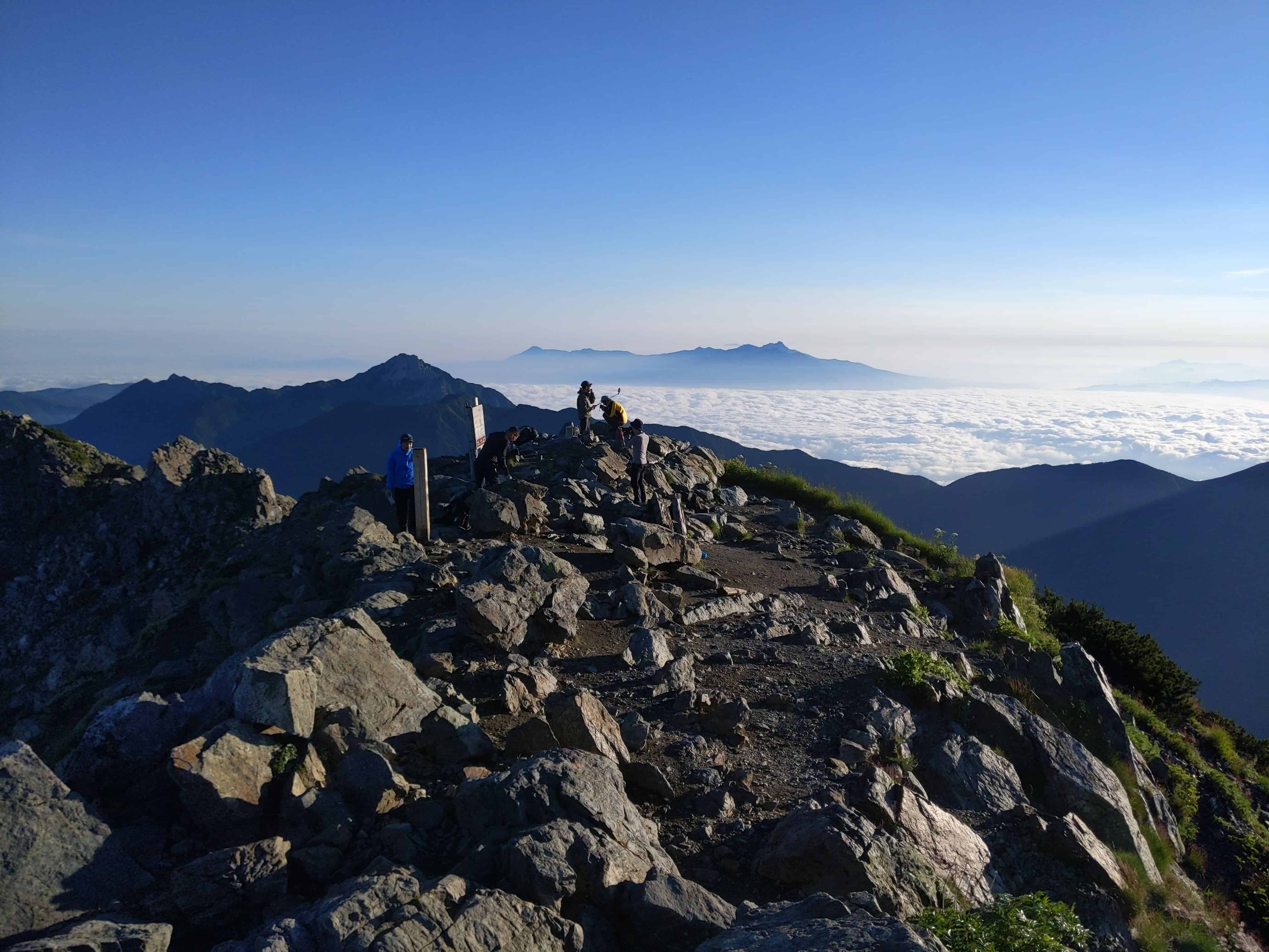
(Day 2) Jul 29, 05:38 AM:
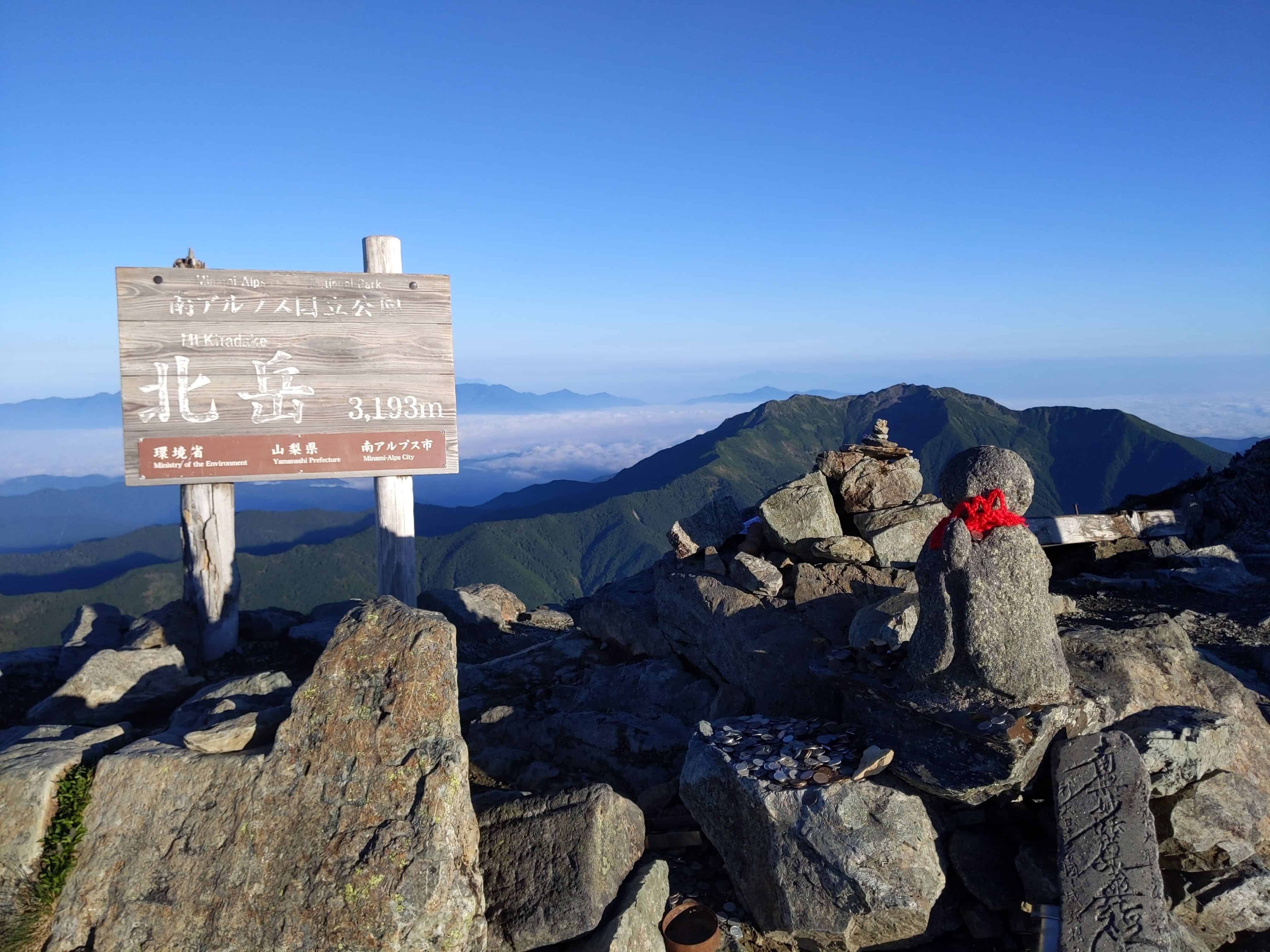
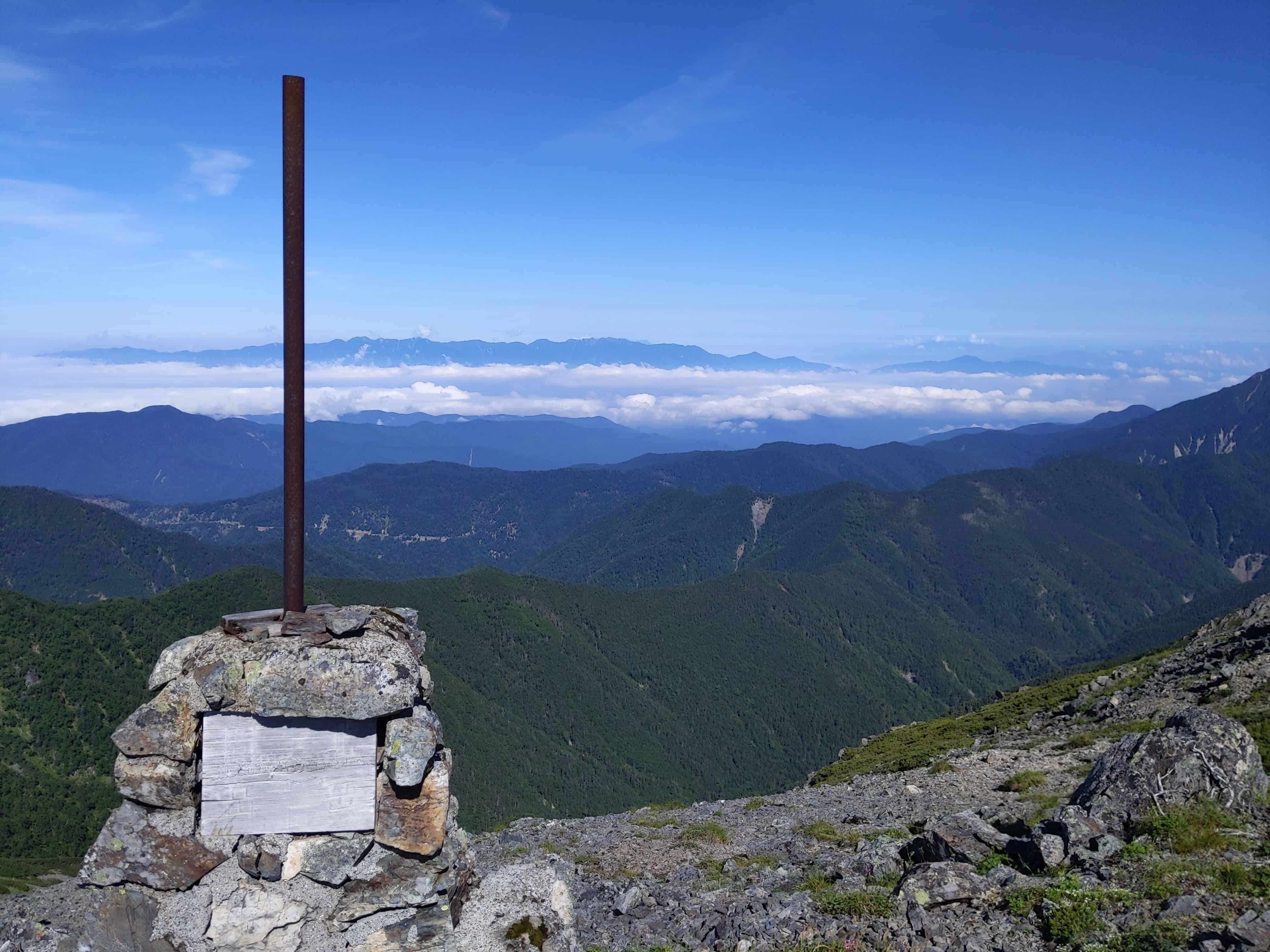
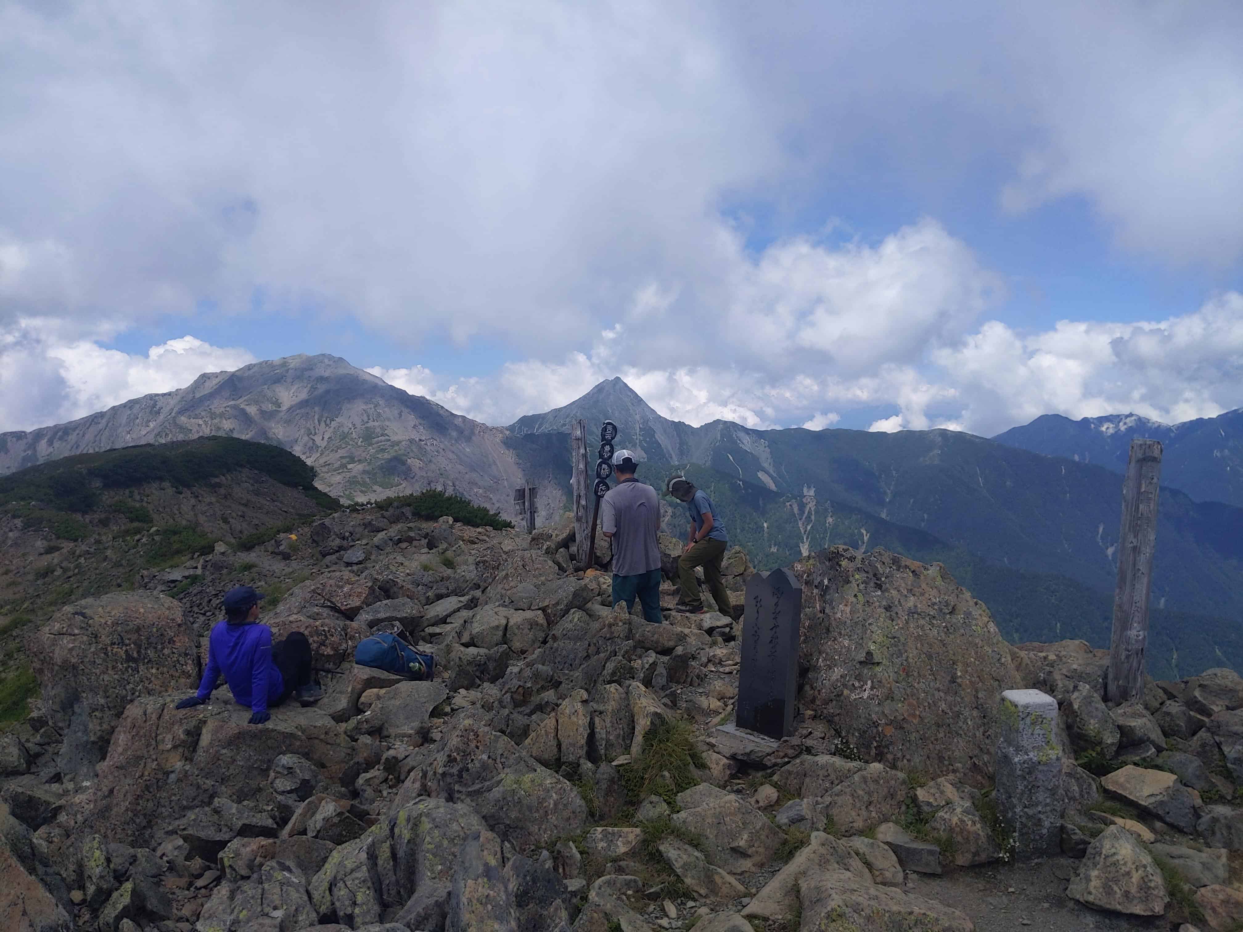
The view at the peak of Mount Kita-dake 北岳.
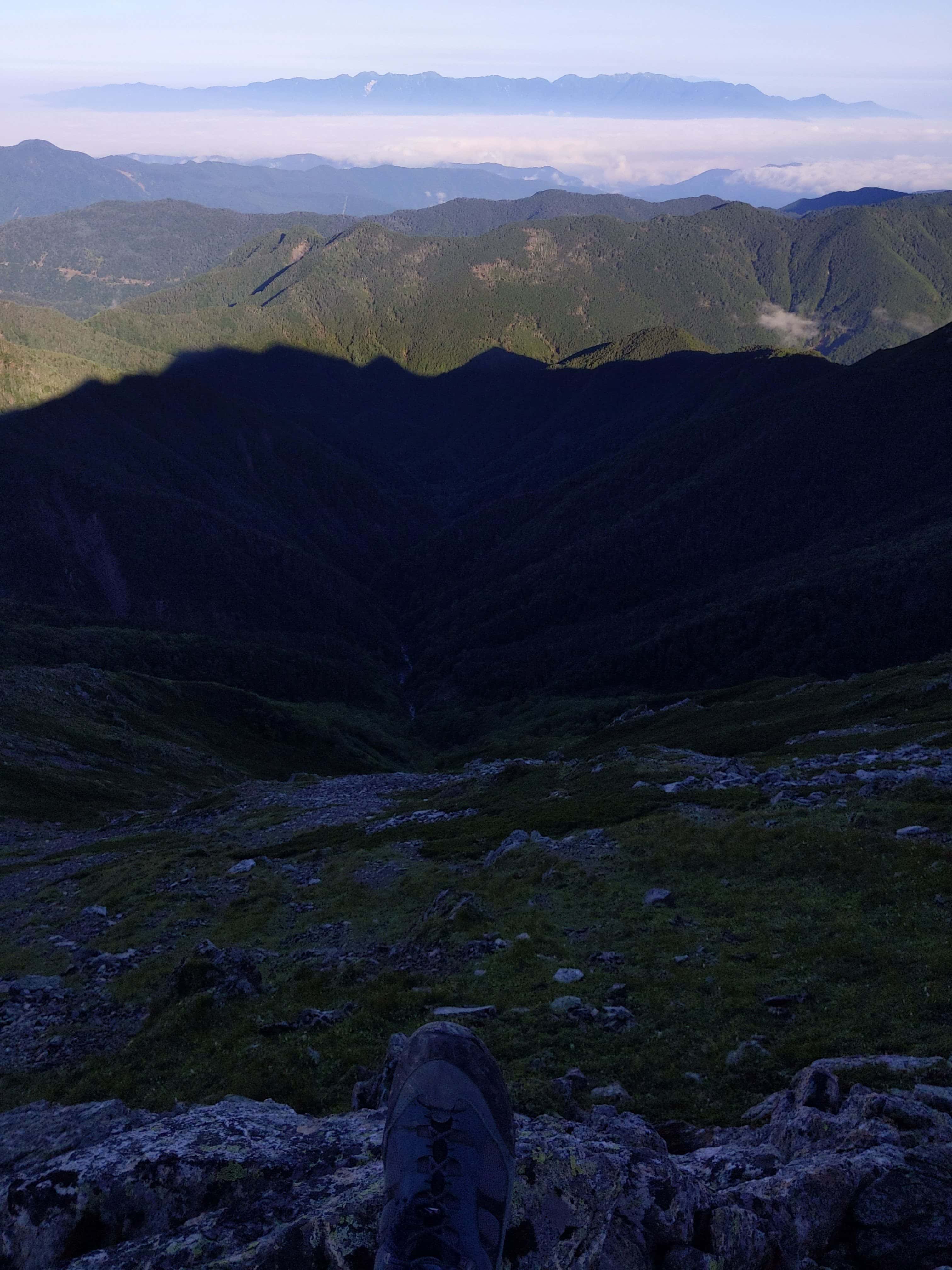
(Day 2) Jul 29, 06:05 AM:
Back on the way down.
(Day 2) Jul 29, 06:14 AM:
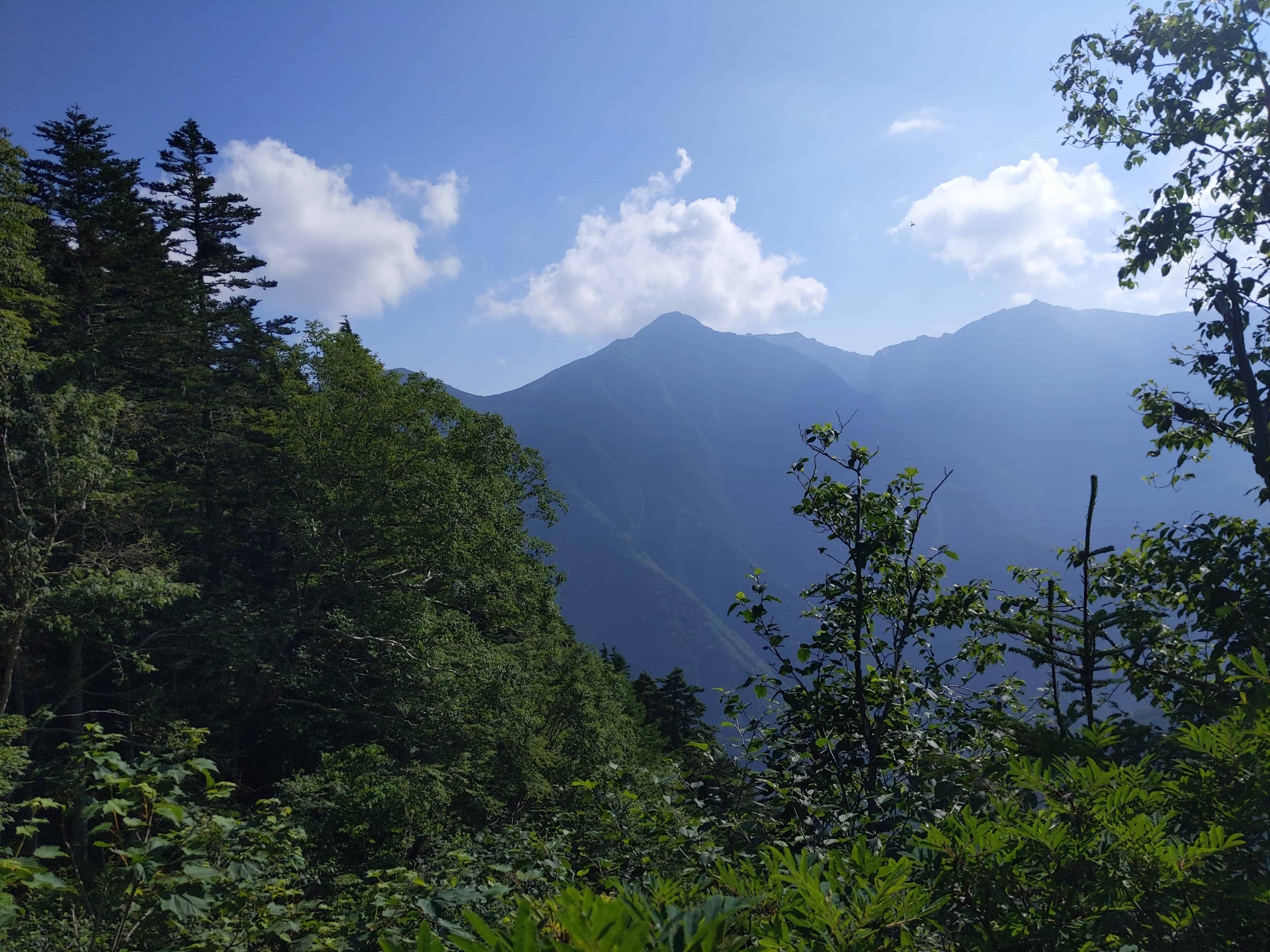
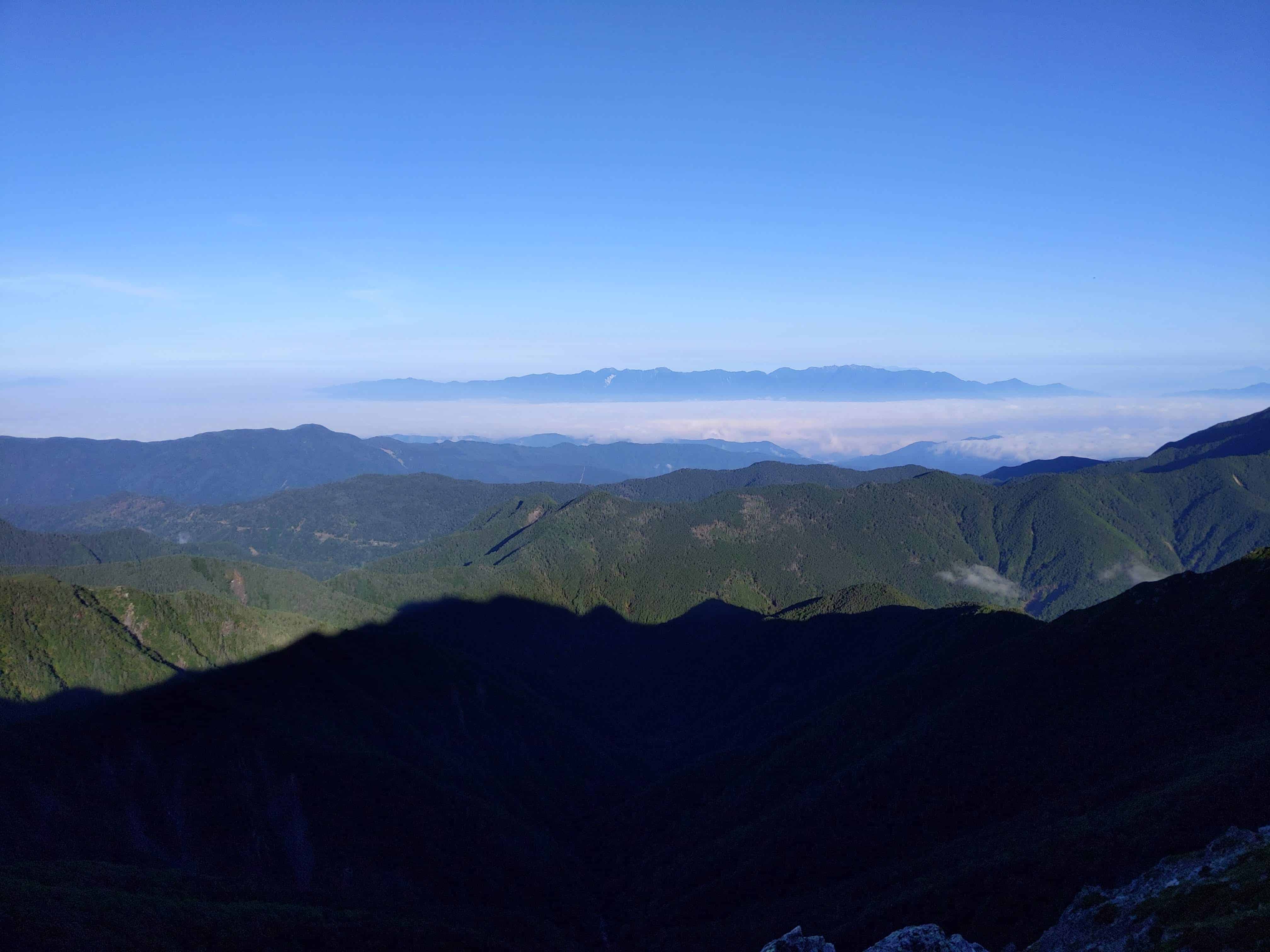
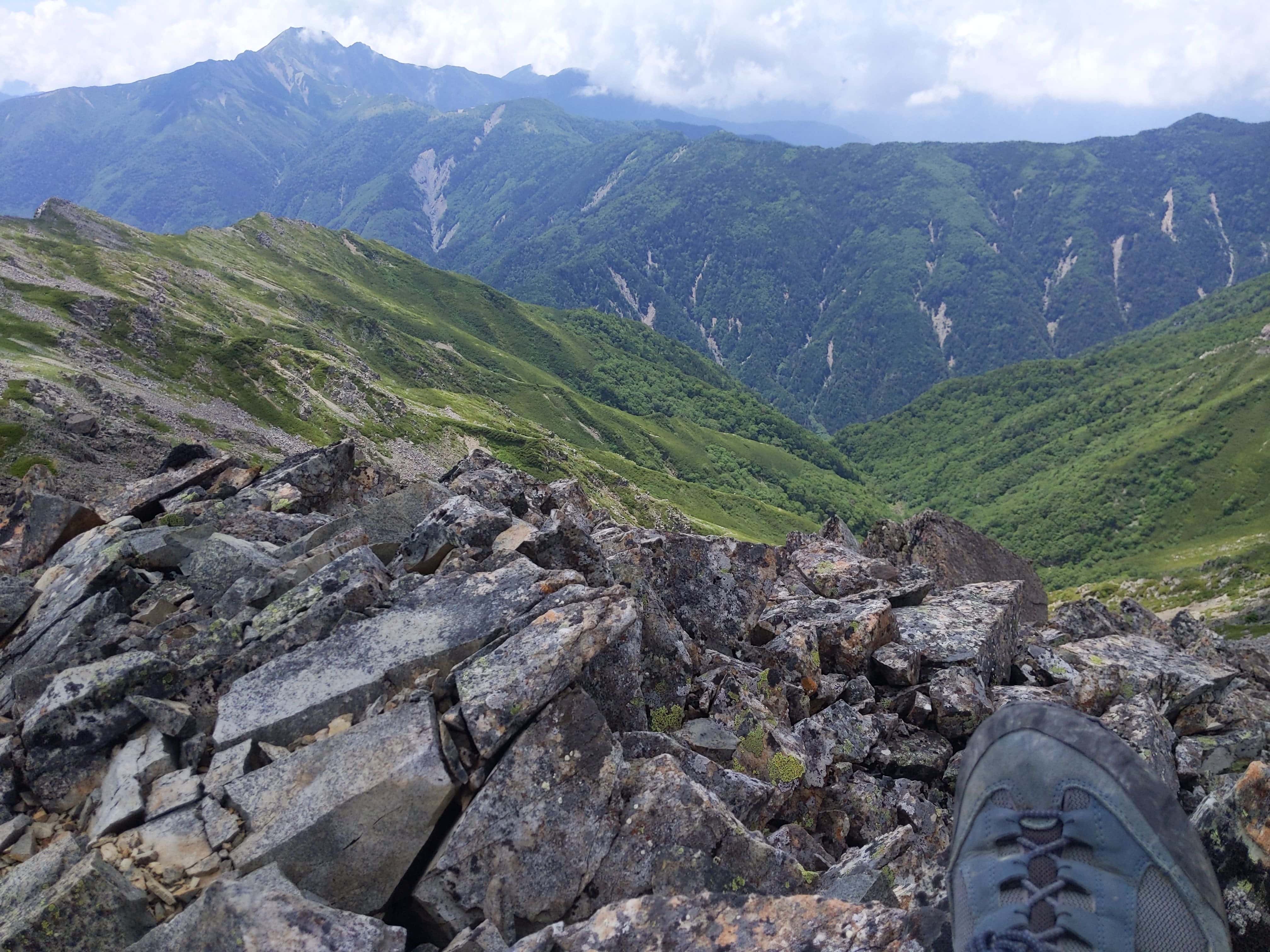
Japanese Central Alps 中央アルプス can be clearly seen in the distance.
(Day 2) Jul 29, 07:42 AM:
The journey continues past Kita-dake Sanso 北岳山荘 towards the south. I am continuing to the Shirane Sanzan Trail 白峰三山コース
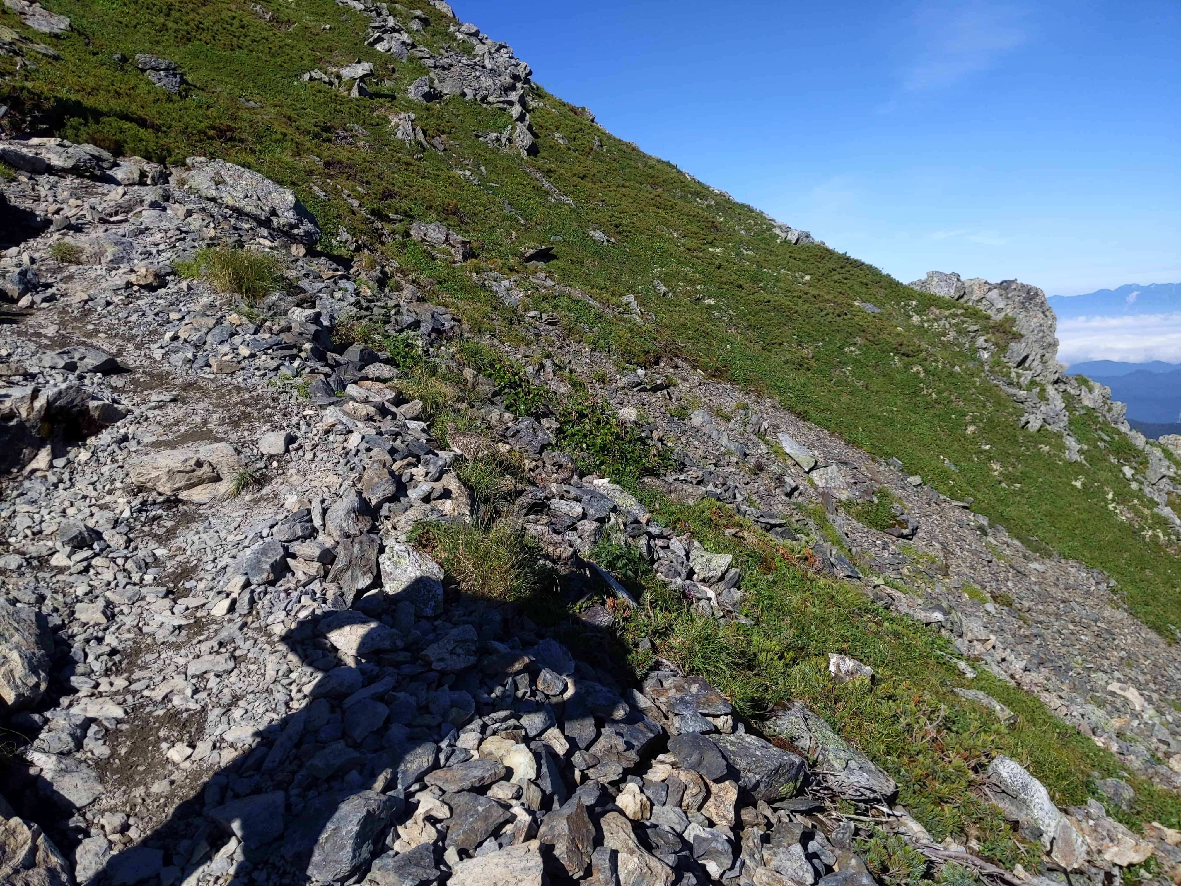
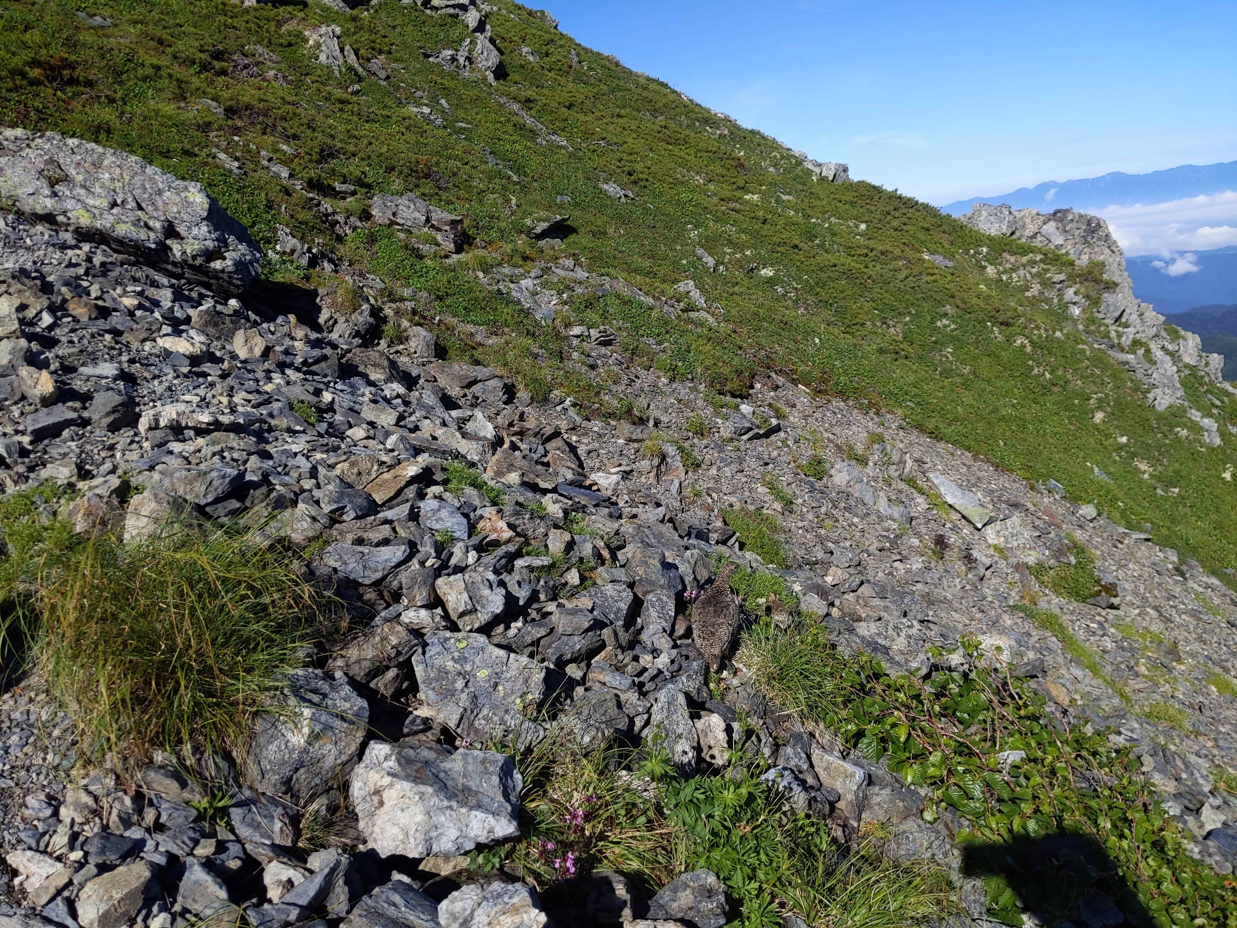
(Day 2) Jul 29, 07:53 AM:
An encounter with the Rock Ptarmigan 雷鳥, pronounced as "rai-chou" in Japanese. In summer, they are clad in these brown feathers (if you can spot it).
In the winter, they are clad in white color feathers.
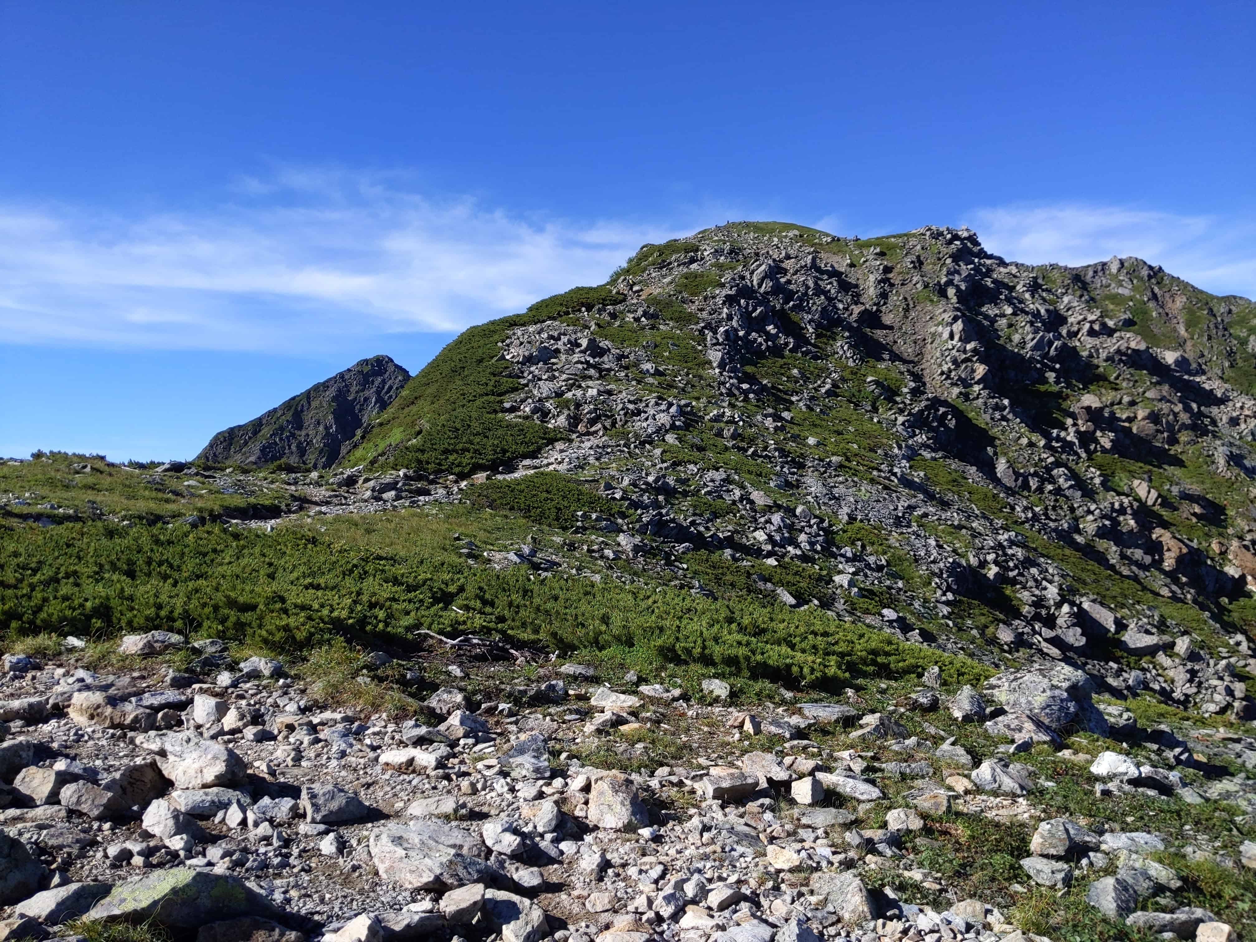
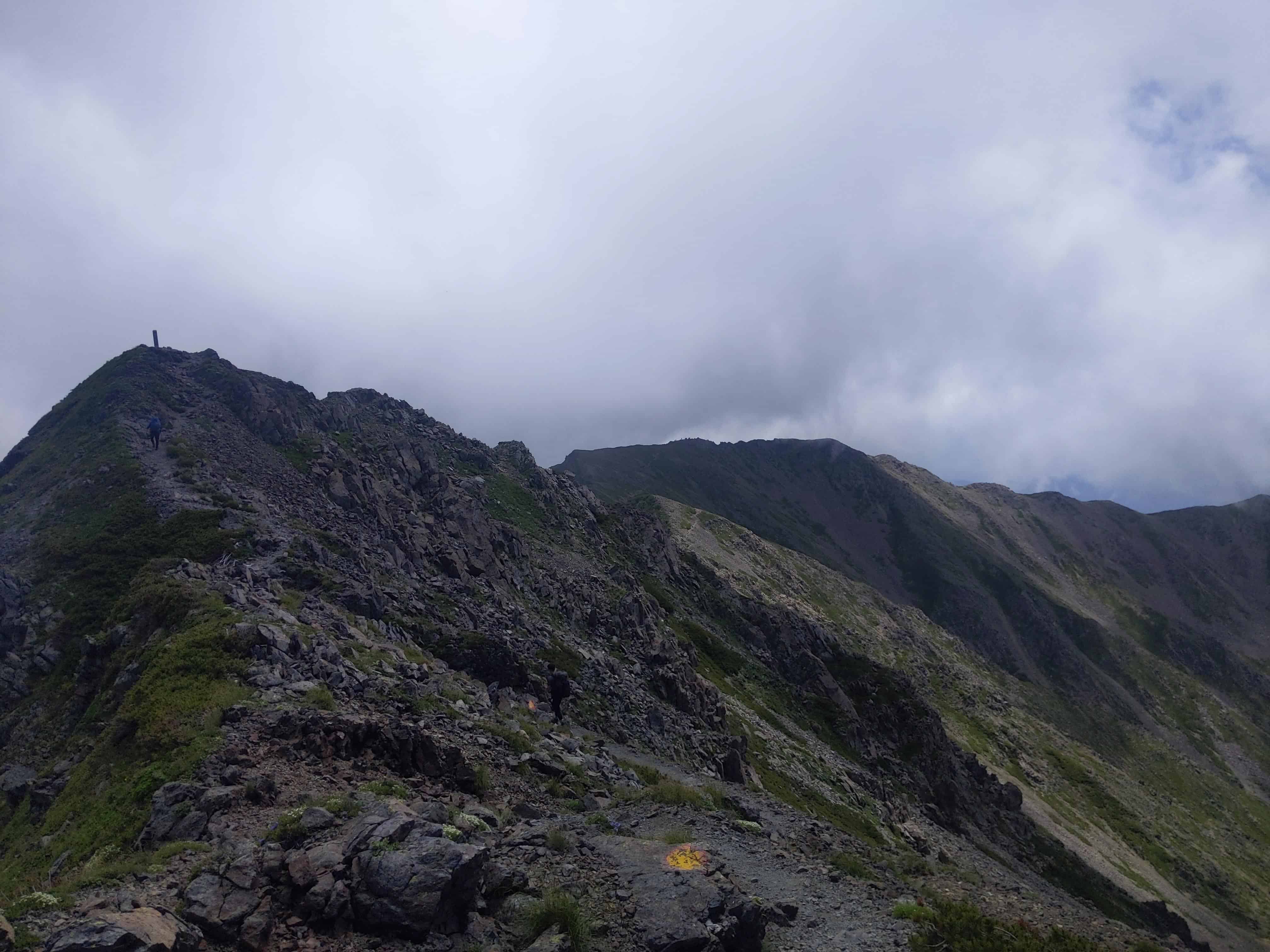
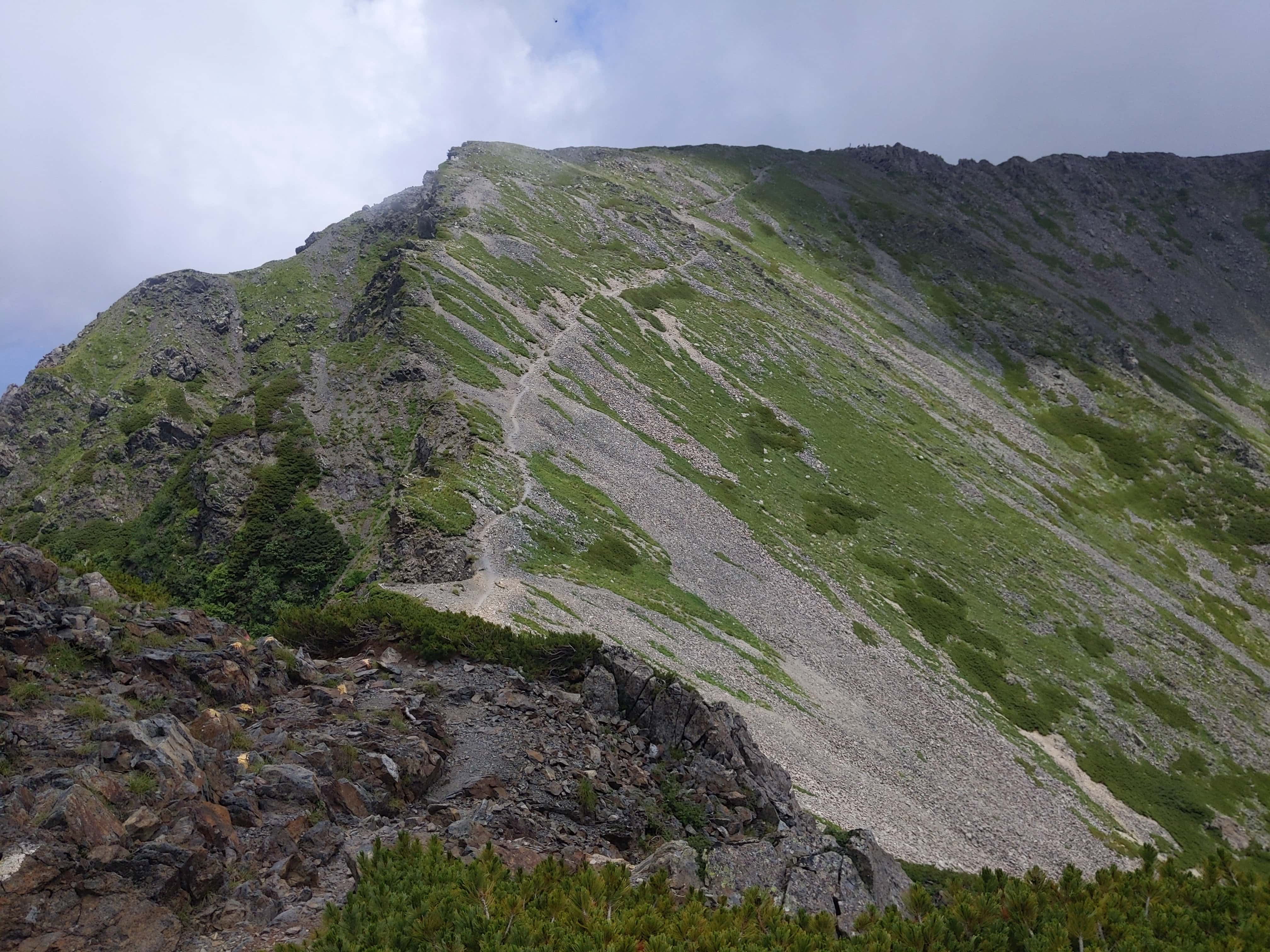
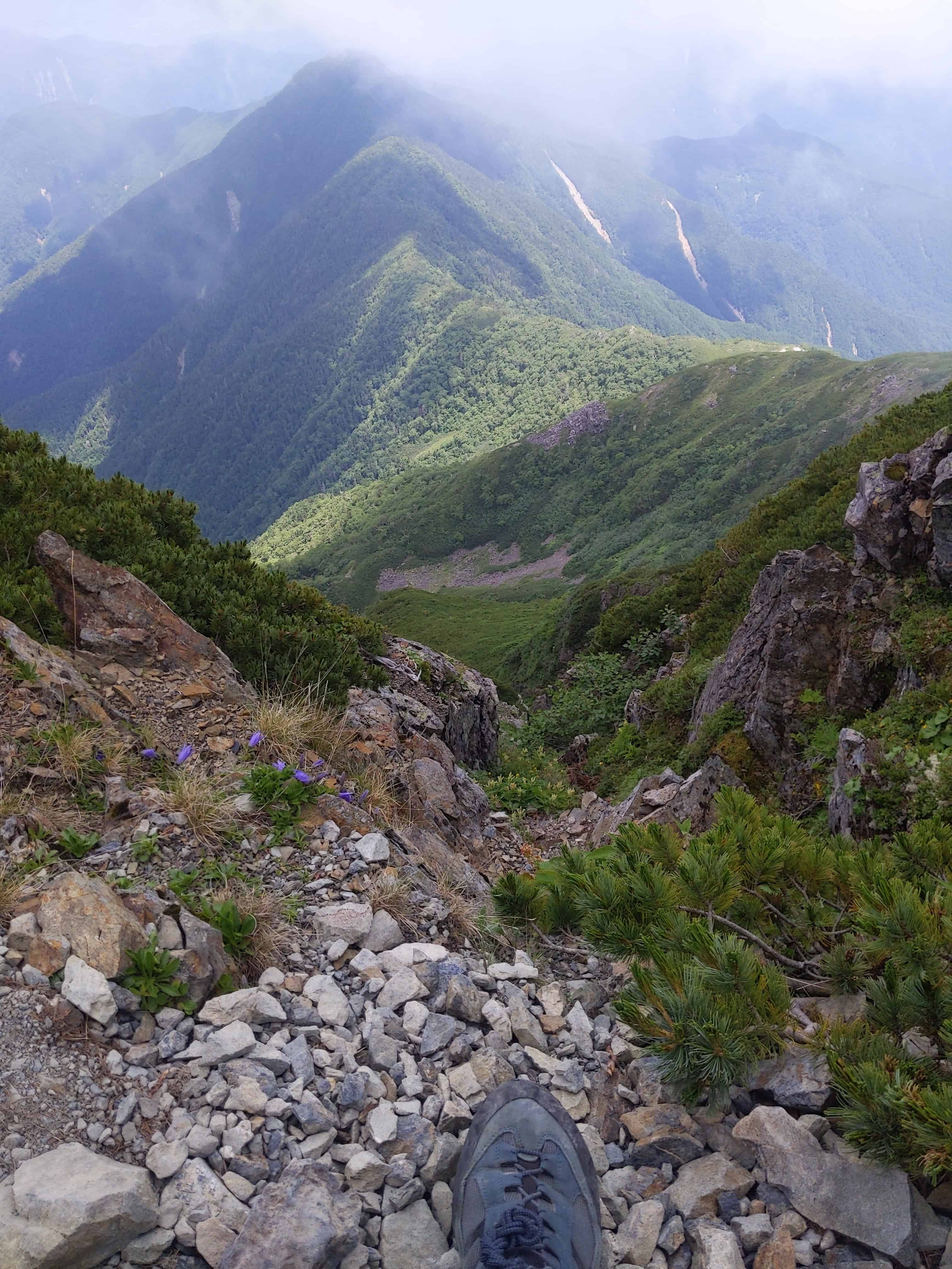
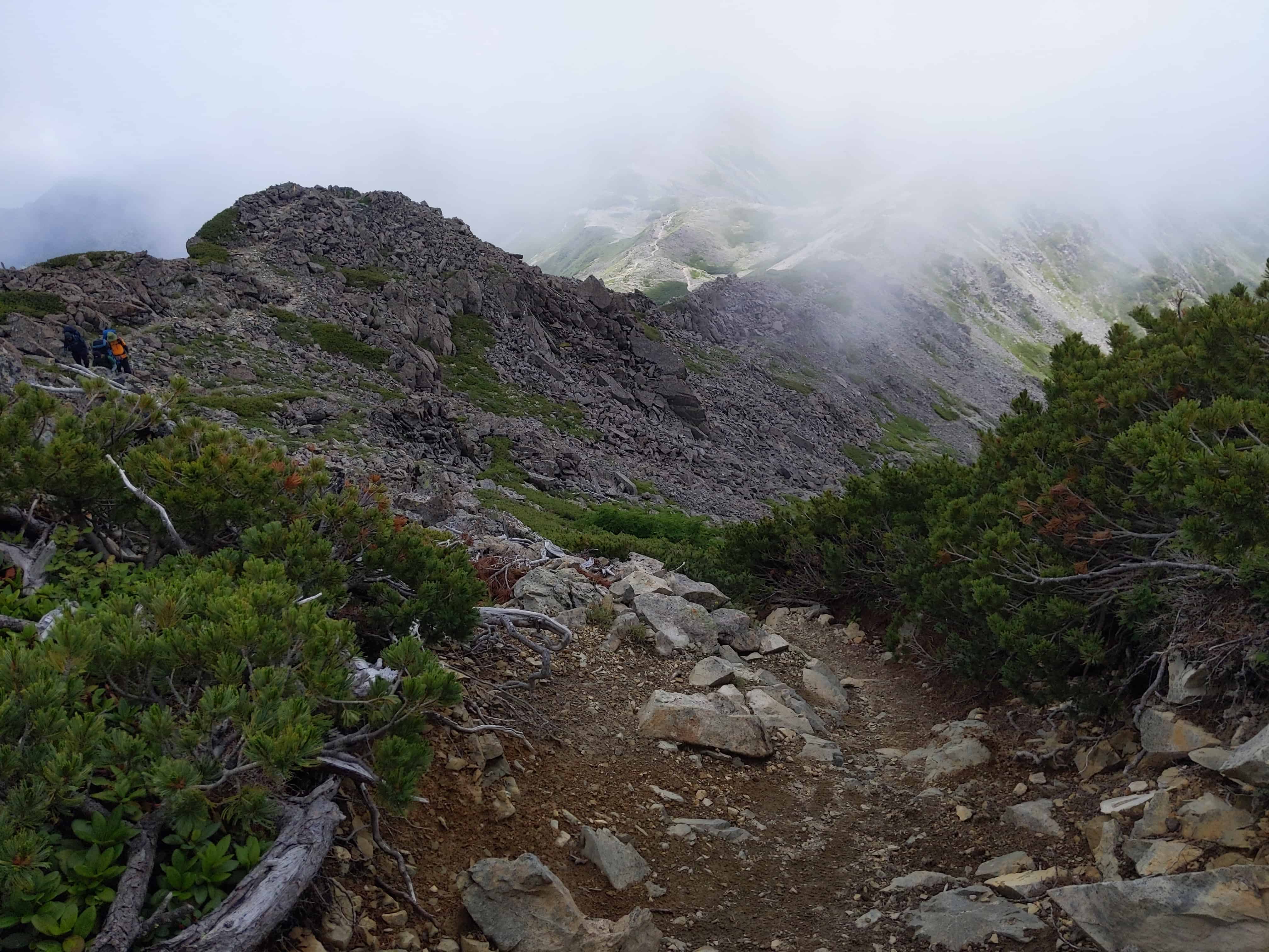
(Day 2) Jul 29, 07:55 AM:
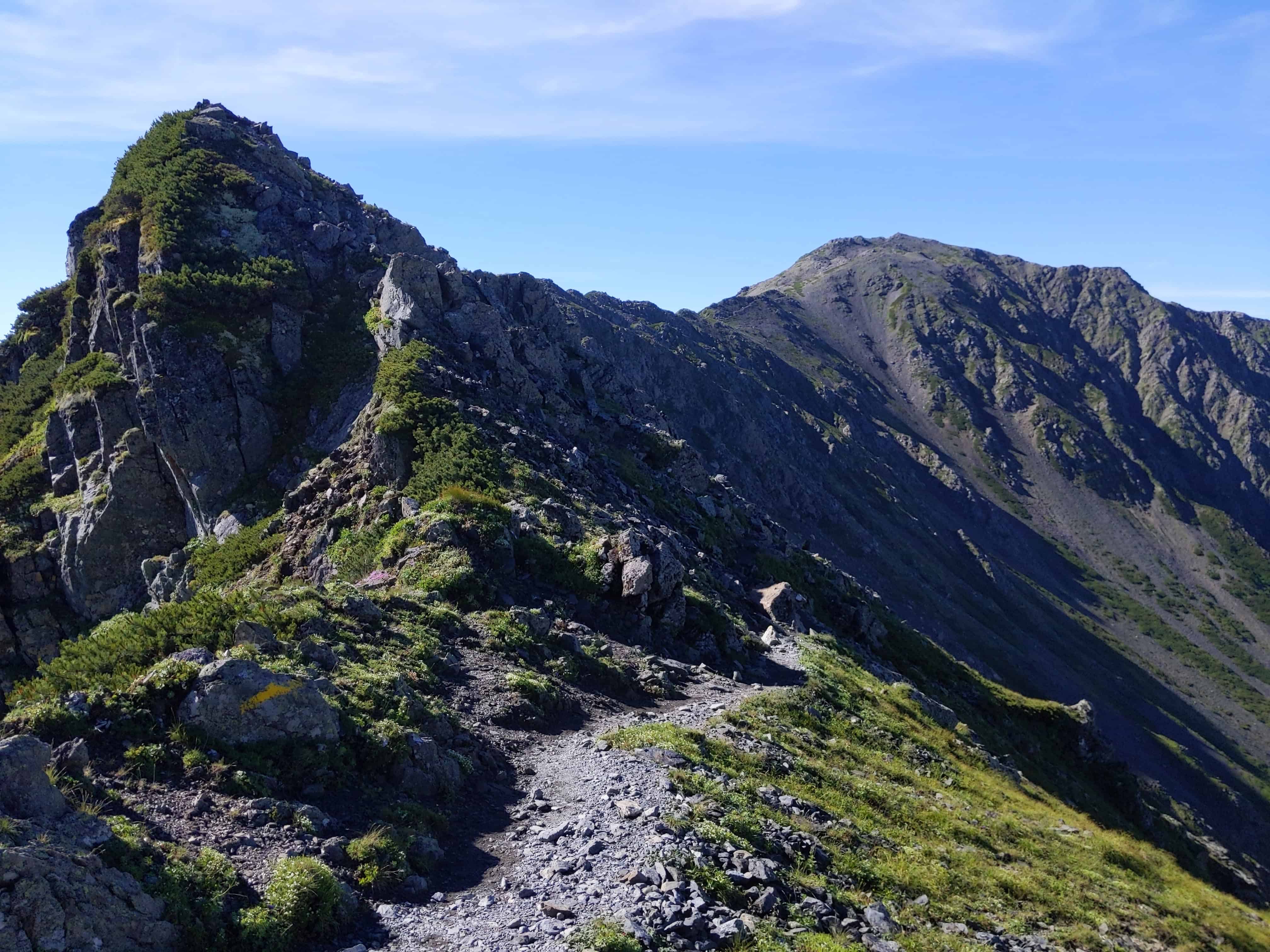
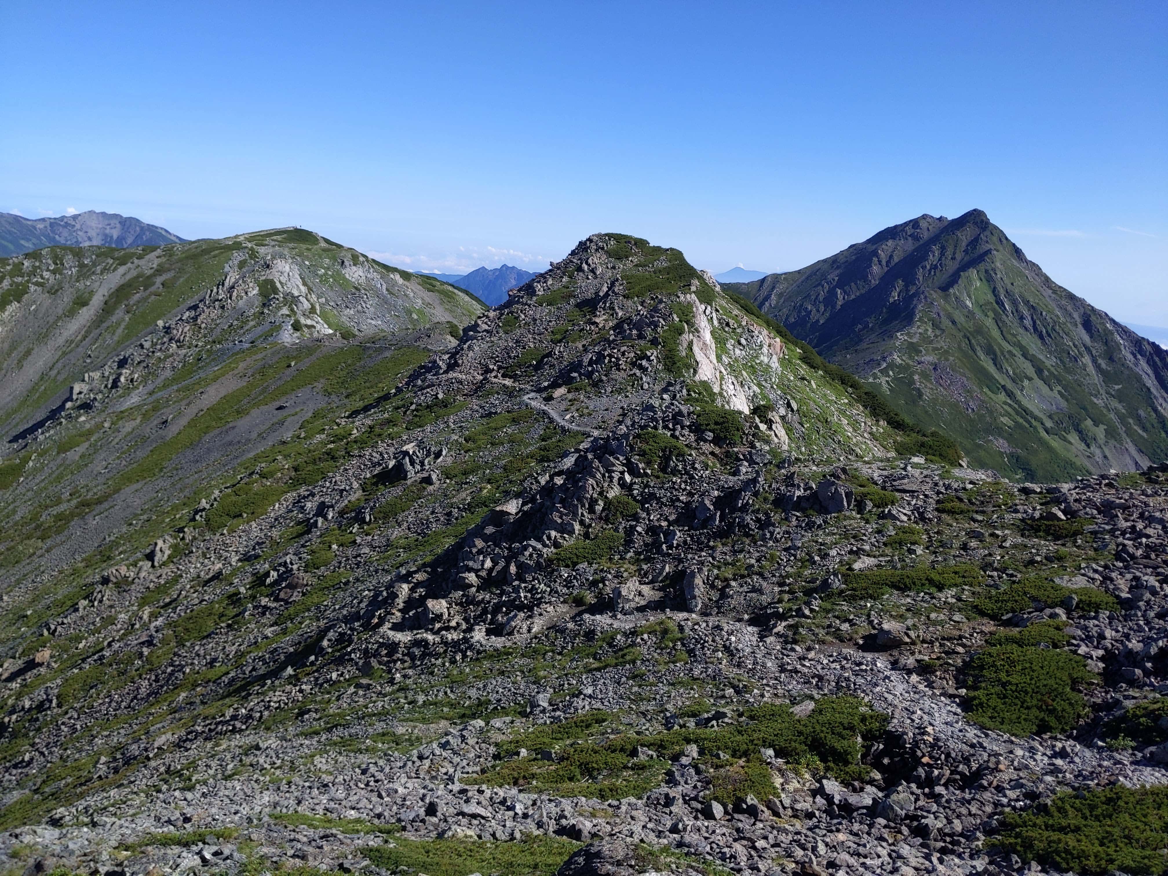
Some more pictures of the route towards the next checkpoint, Mount Nakashirane 中白根山.
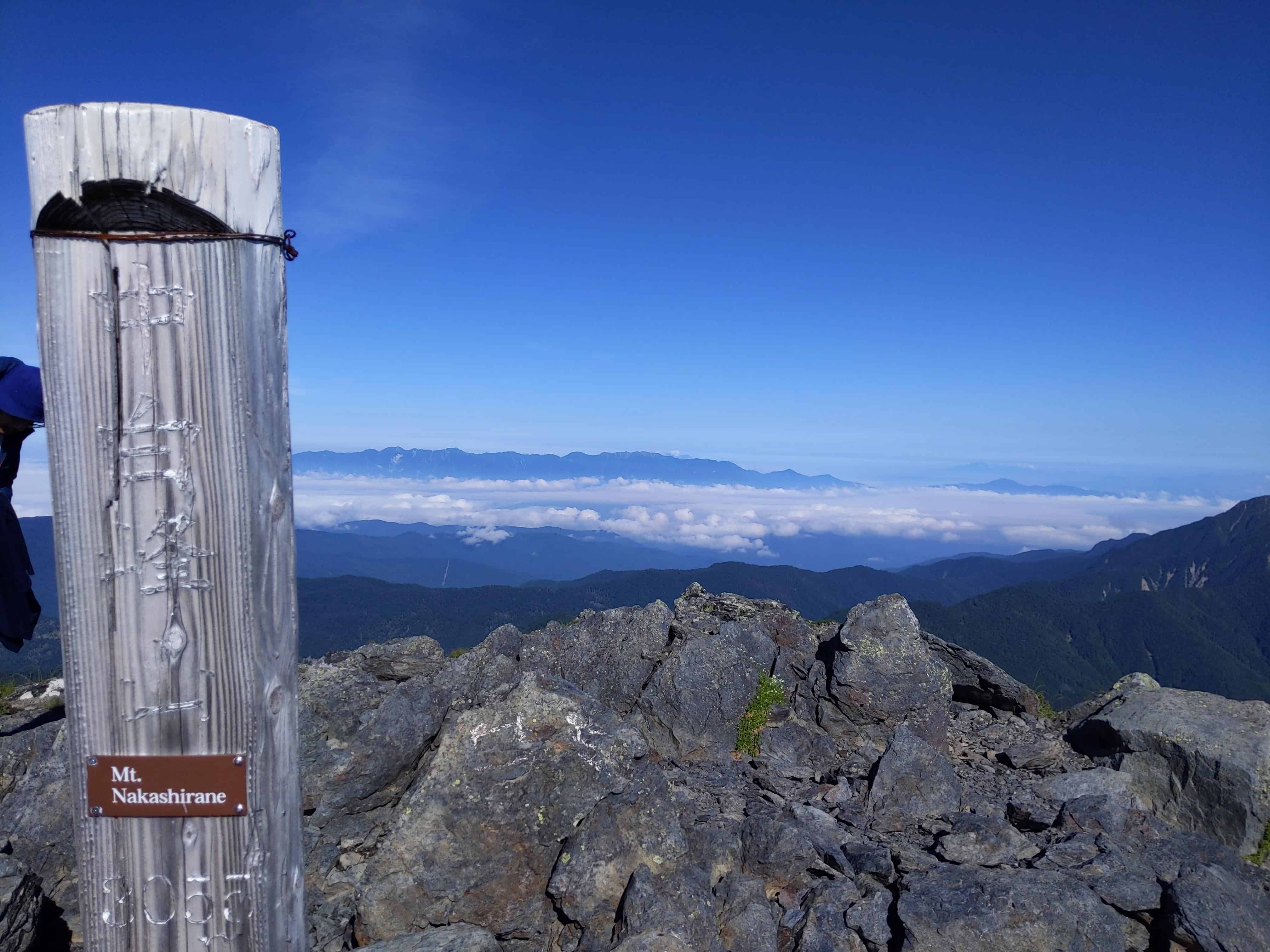
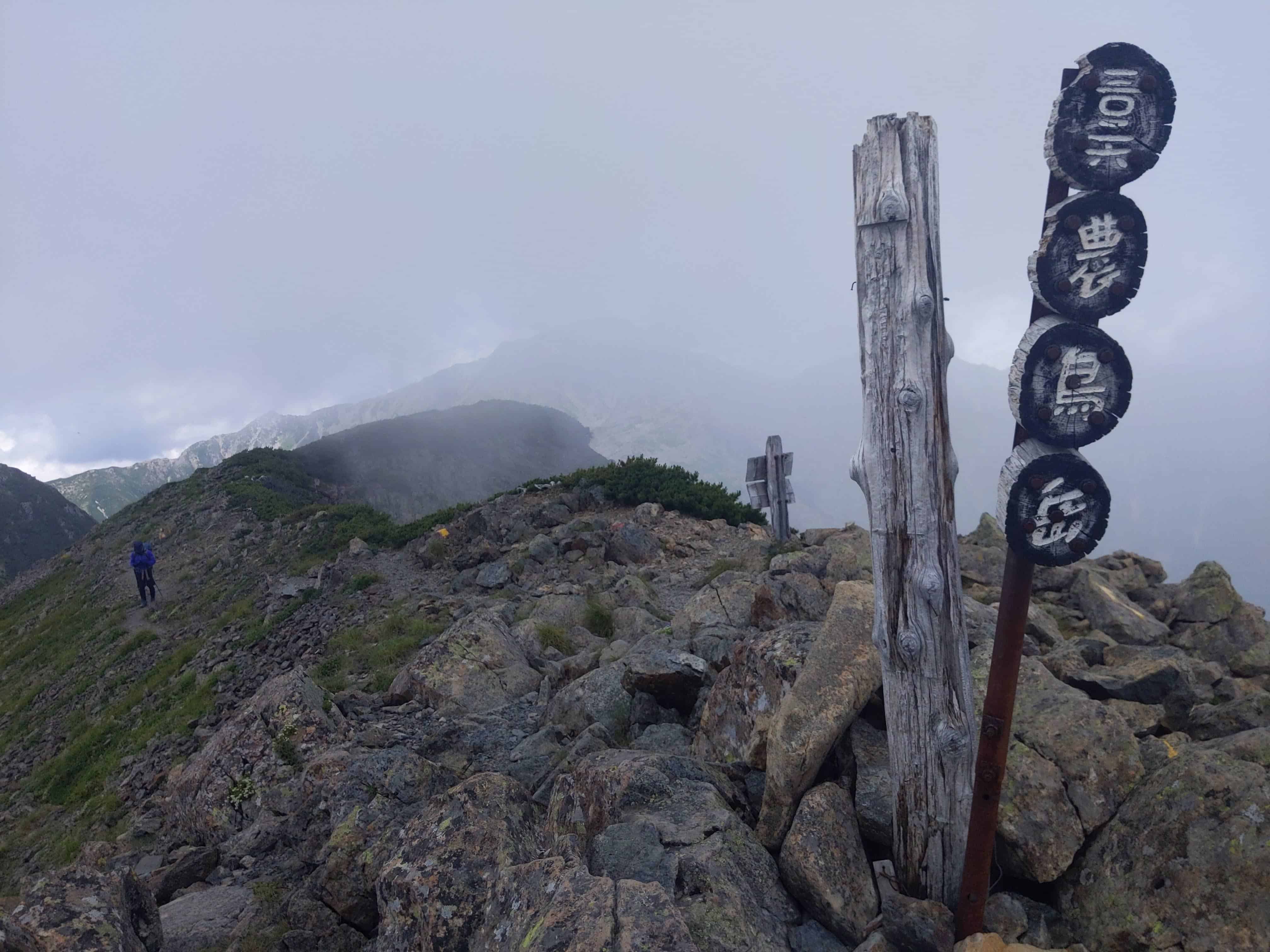
(Day 2) Jul 29, 08:02 AM:
Arrived at Mount Nakashirane 中白根山. This is, however, not one of the 3 mountains of Shirane Sanzan 白峰三山. It just happens to be there :)
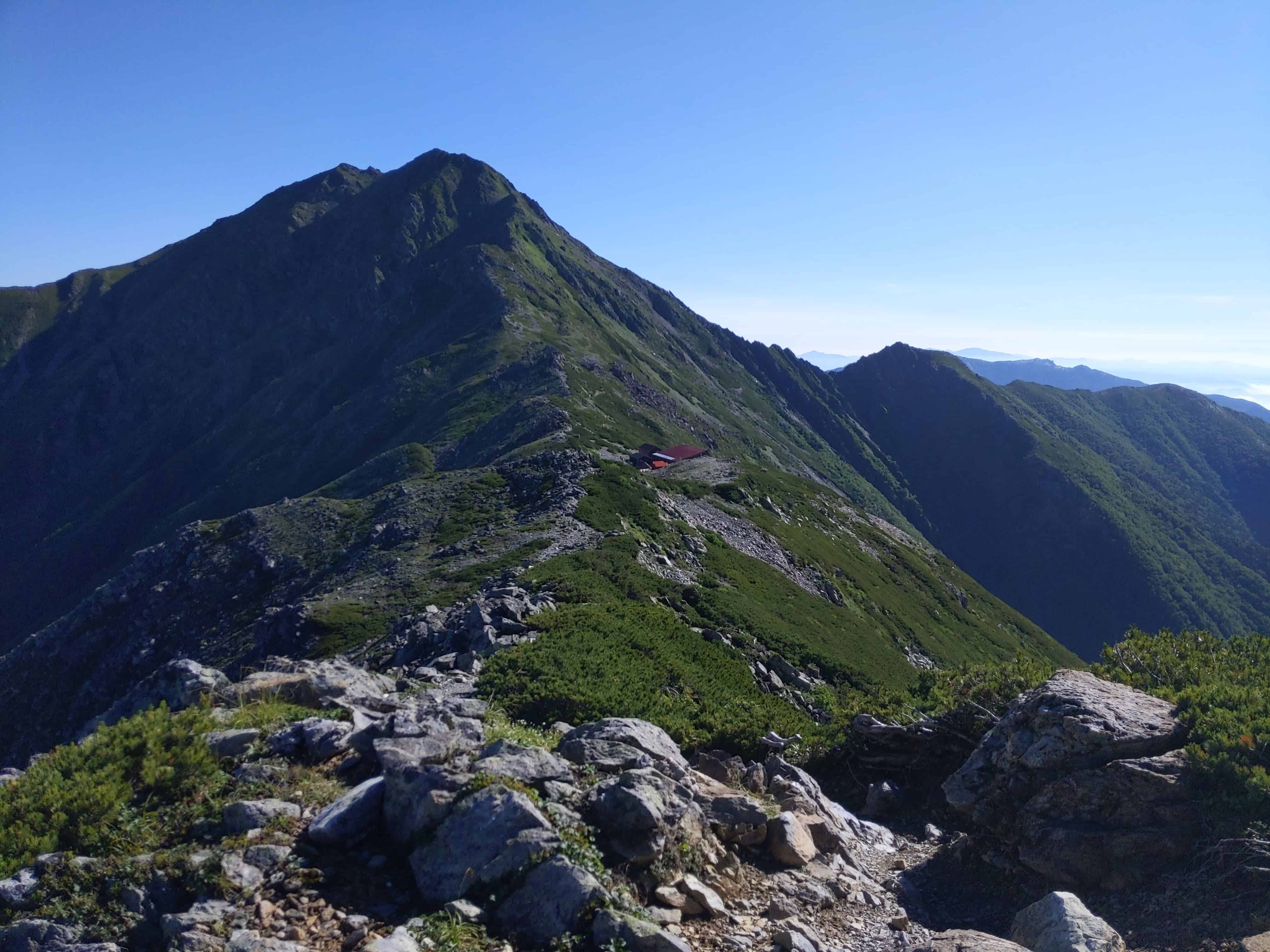
(Day 2) Jul 29, 08:05 AM:
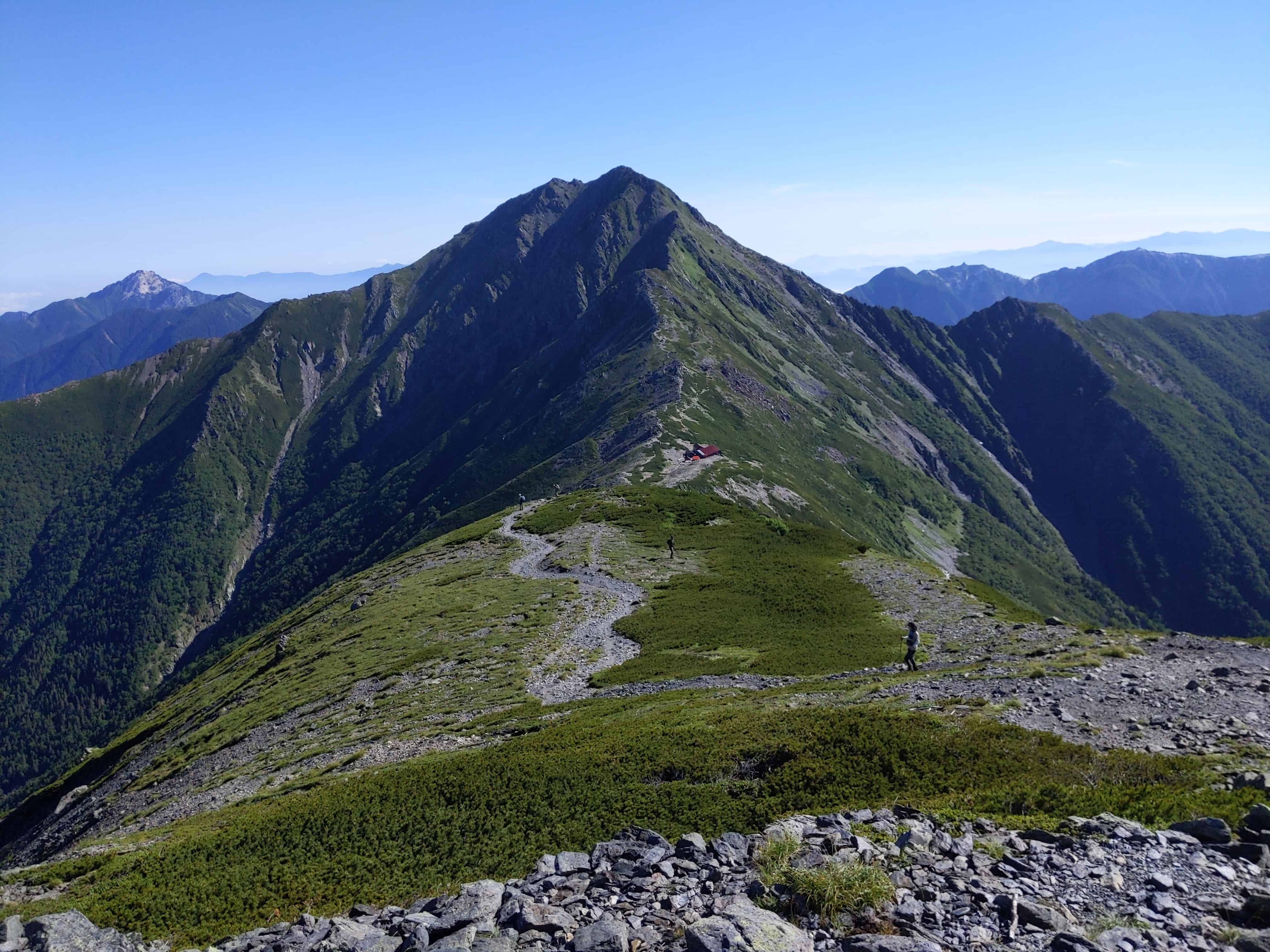
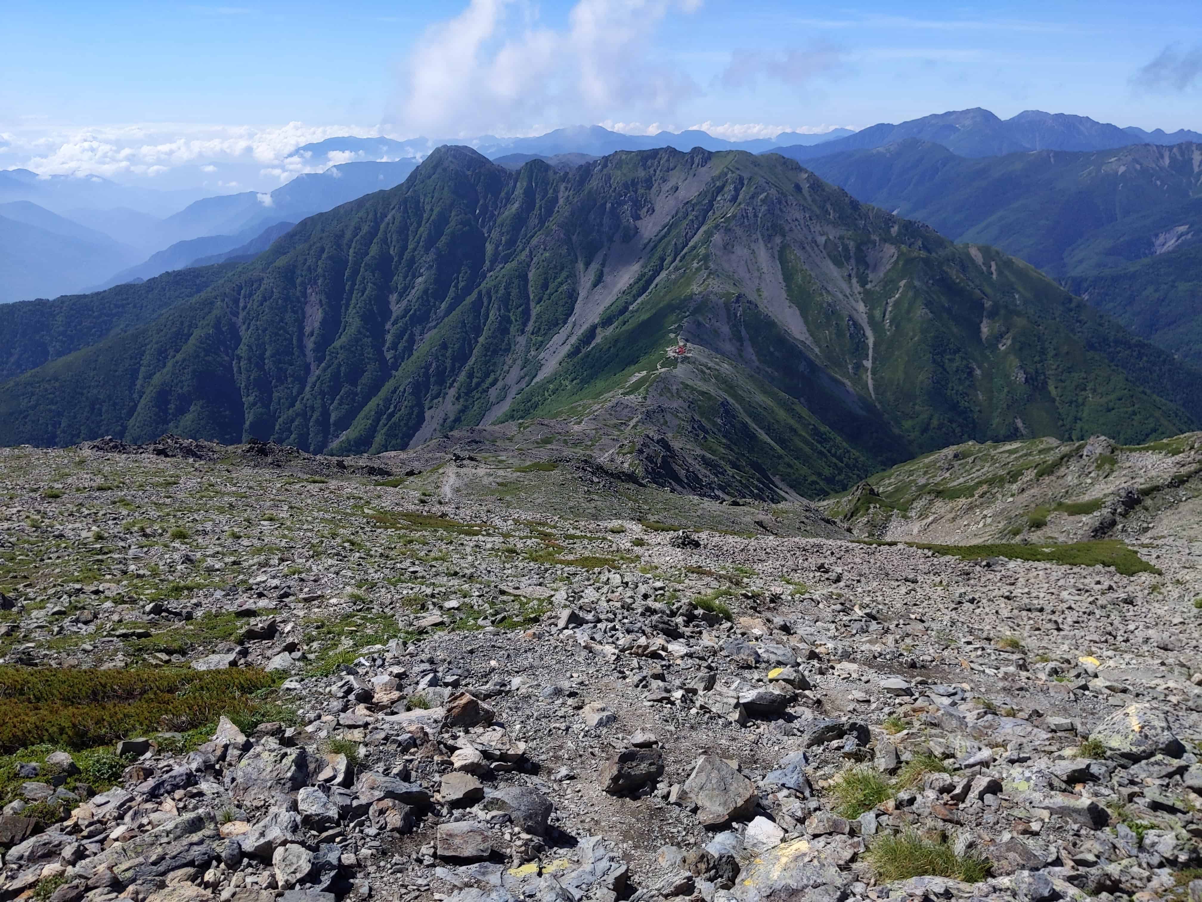
A look back at the Kita-dake Sanso 北岳山荘 before moving on.
(Day 2) Jul 29, 09:01 AM:
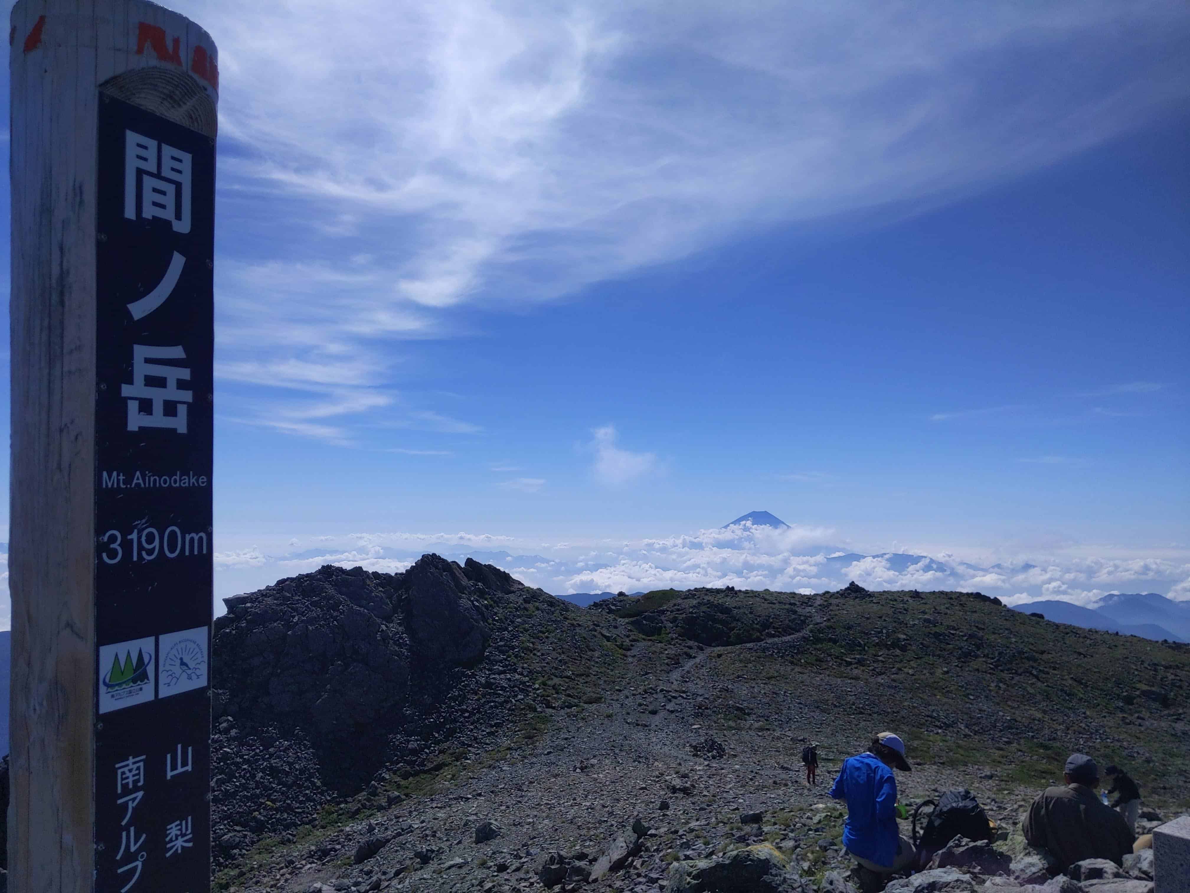
Arrived at Mount Aino 間ノ岳, one of the 3 mountains of Shirane Sanzan 白峰三山.
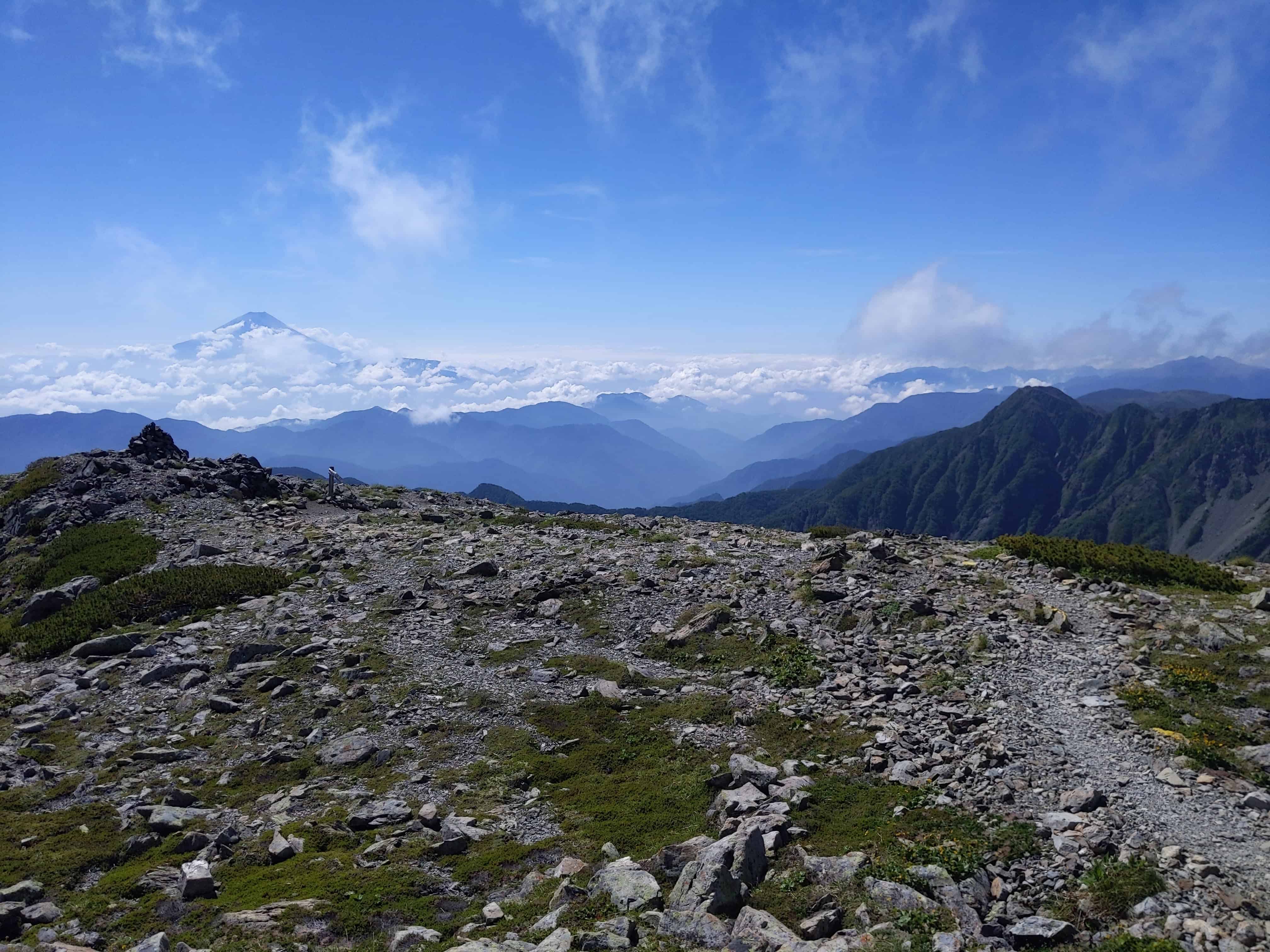
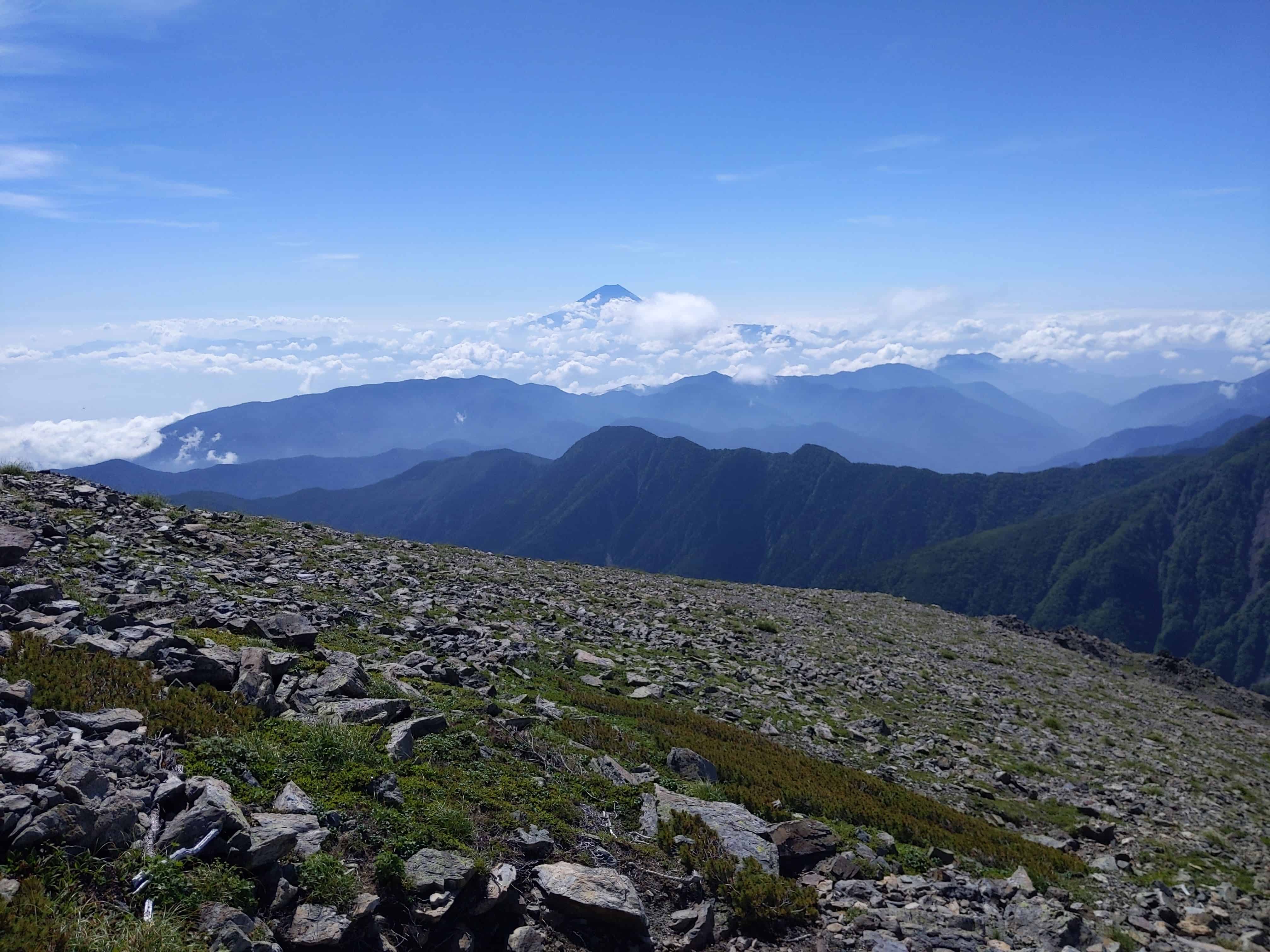
(Day 2) Jul 29, 09:19 AM:
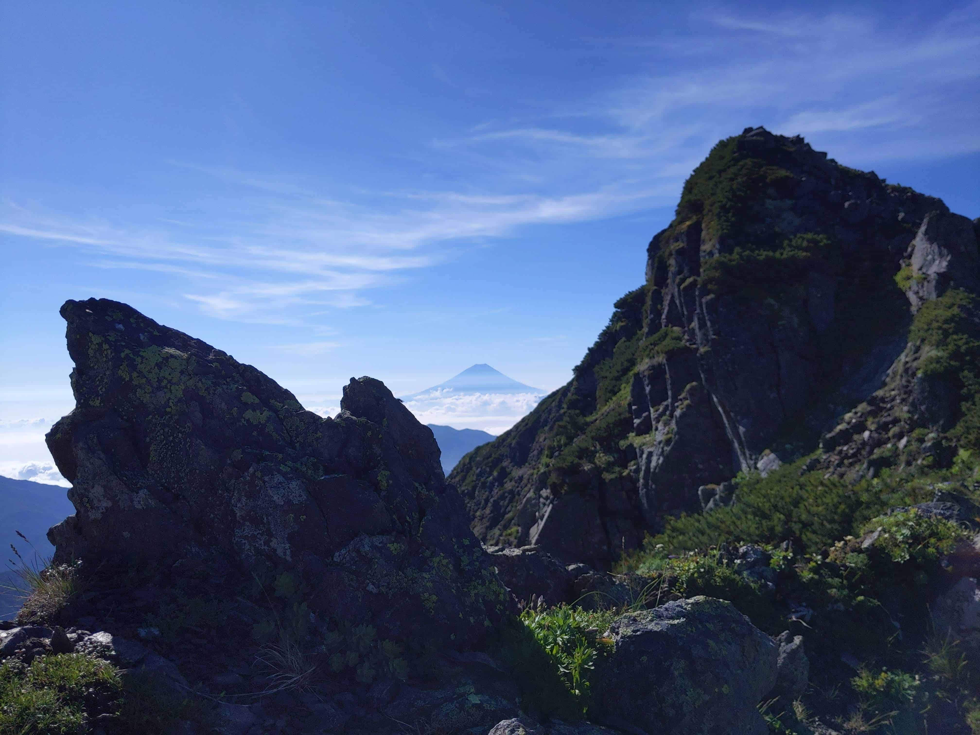
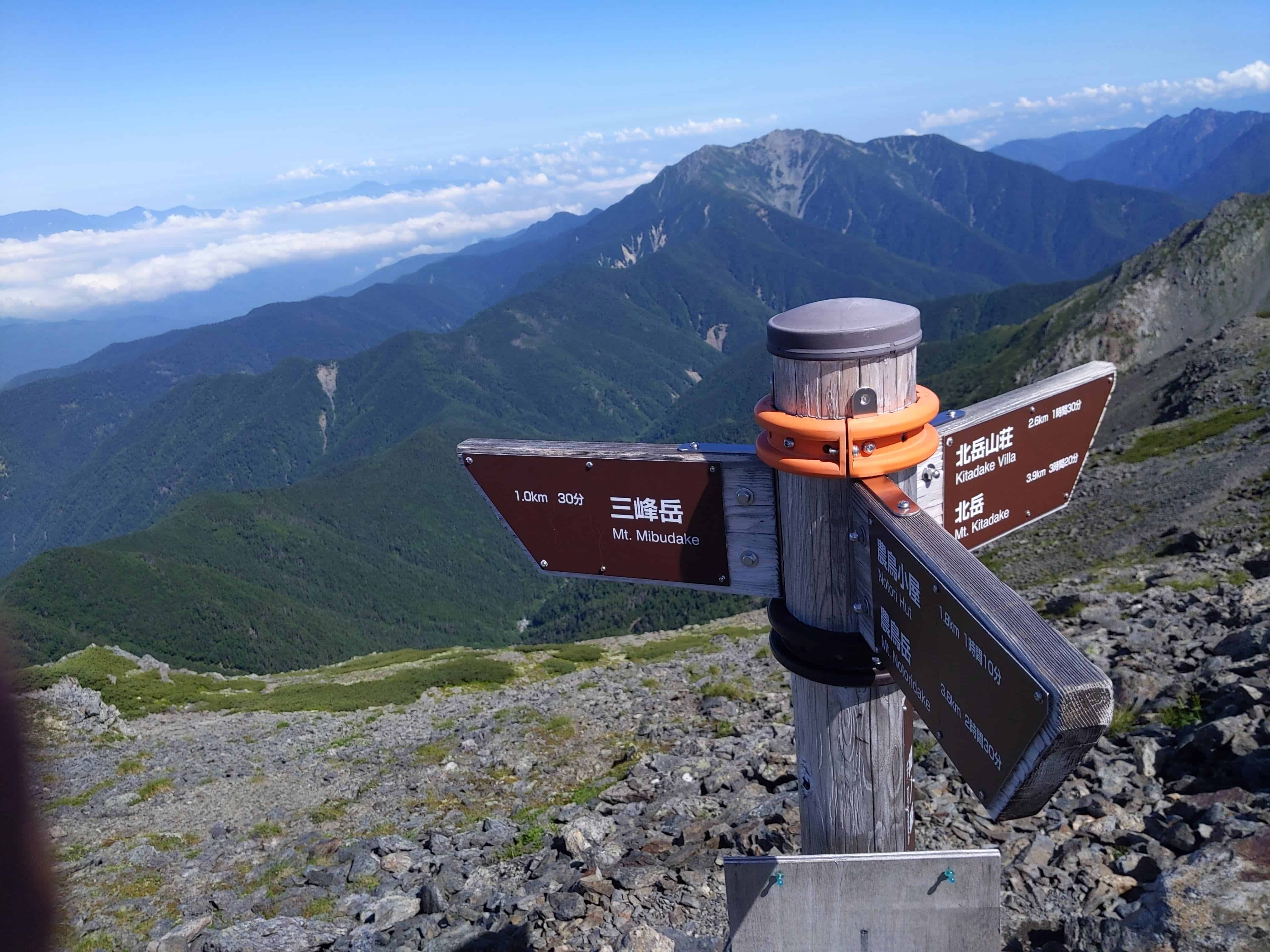
Continue on the journey towards the last member of the Shirane Sanzan 白峰三山, Mount Notori 野鳥岳.
The structure that you see in the saddle of this ridge line is the Notori Hut 農鳥小屋.
Unfortunately, it does not seem to be in operation, at least when I was there.
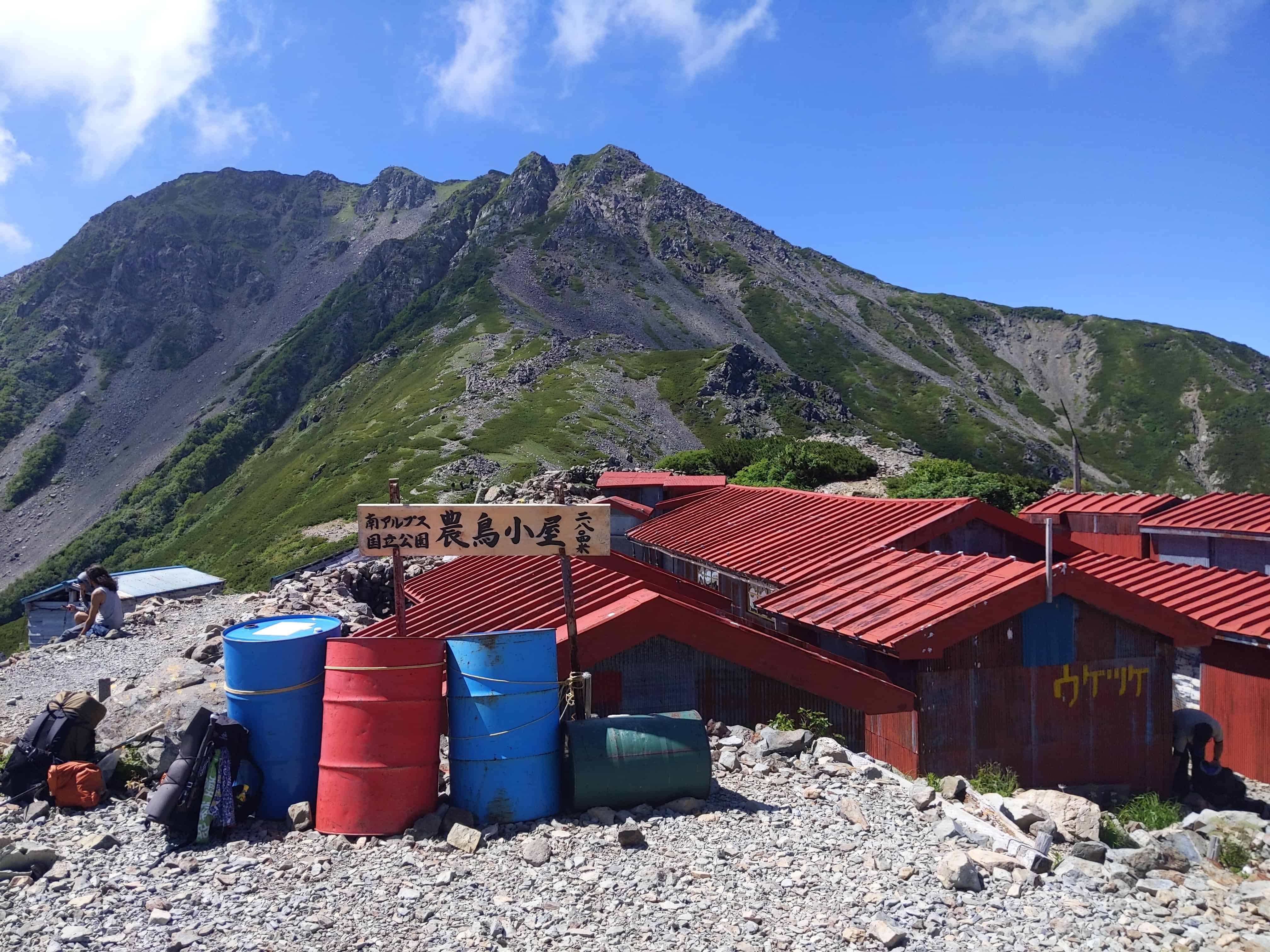
(Day 2) Jul 29, 09:53 AM:
Arrived at Notori Hut 農鳥小屋.
It would make an ideal overnight spot given the awesome view.
Unfortunately, there does not seem to be anyone running the place, although it has a functional but under-maintained toilet.
There is rainwater collected in a tub. I used it to make my lunch, although there are dead insects in it.
A ladle is available for use, and I would advise to draw water from the middle of the tub for cleanliness.
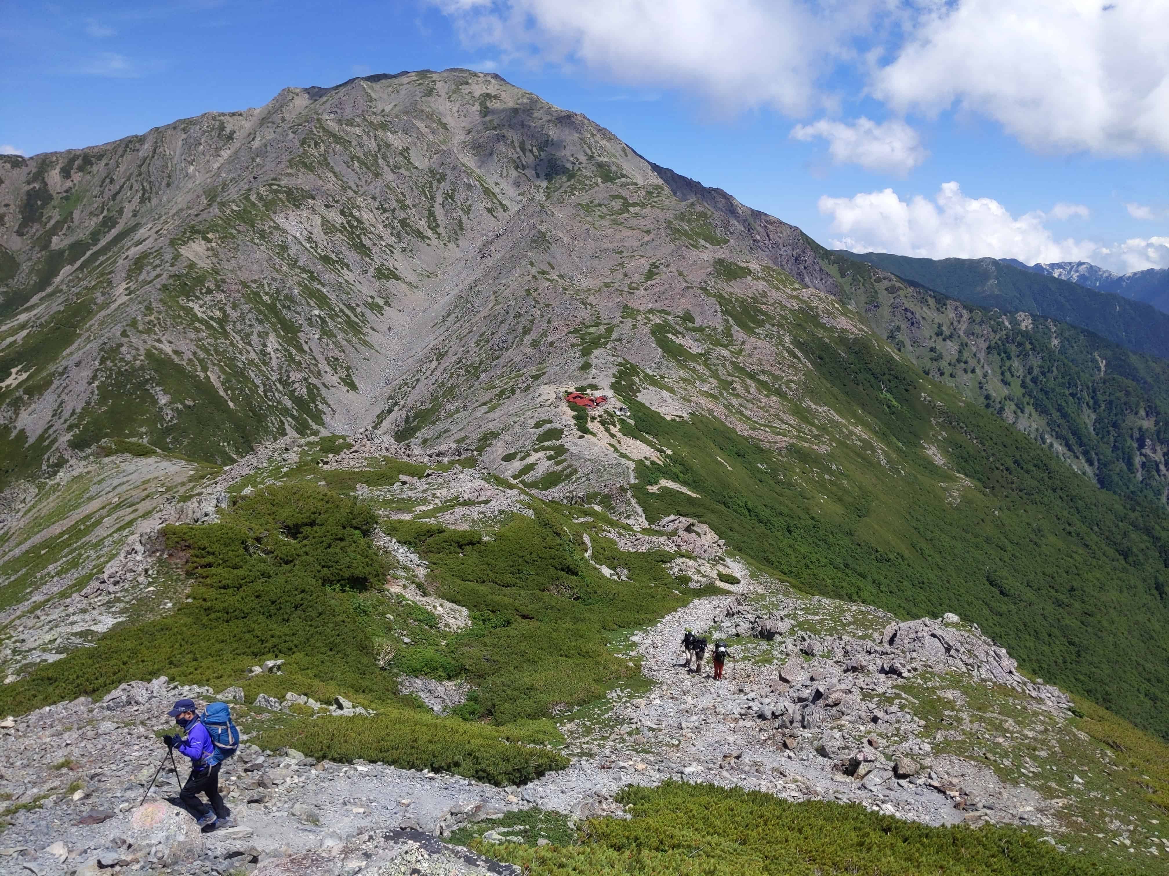
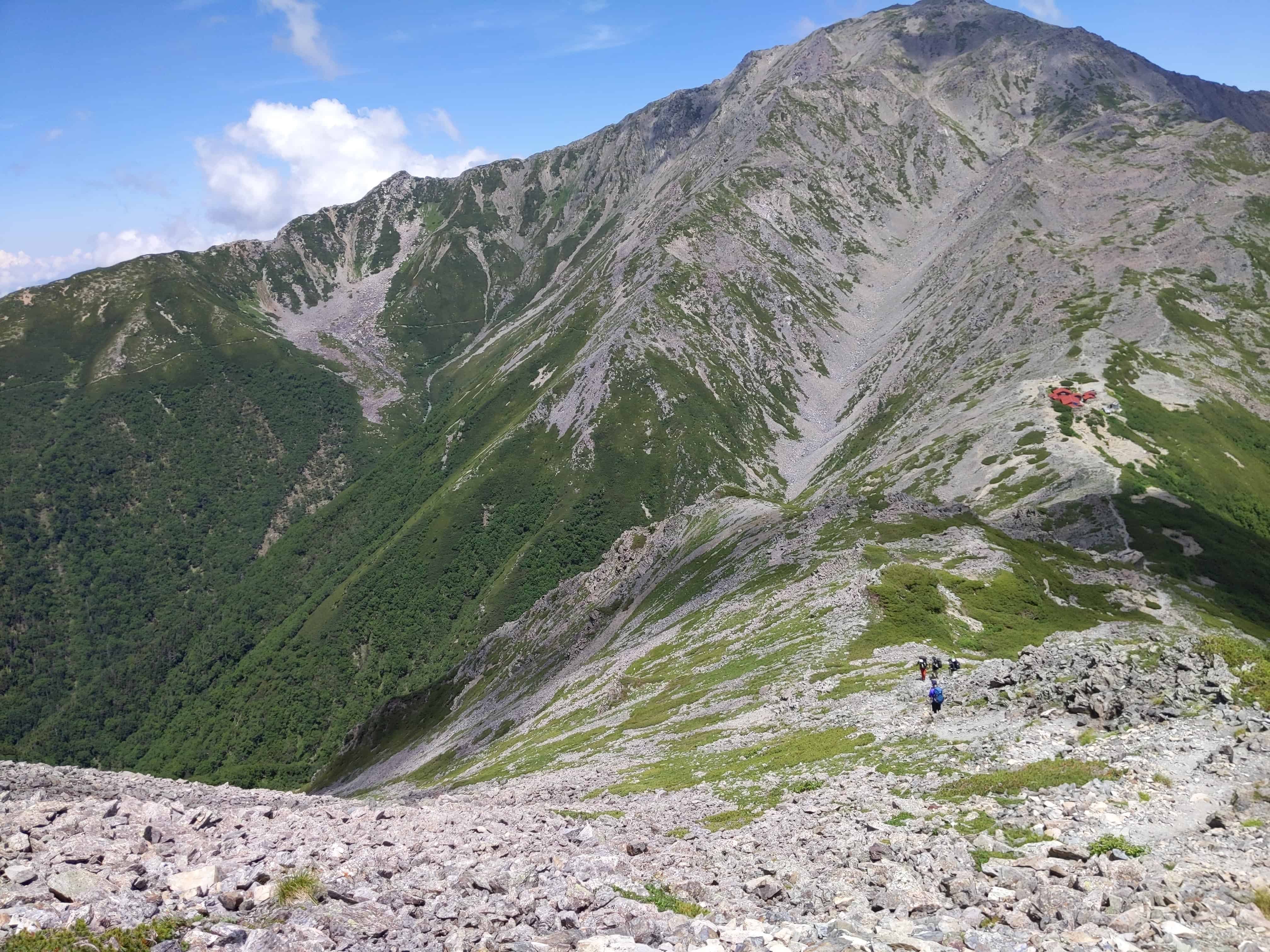
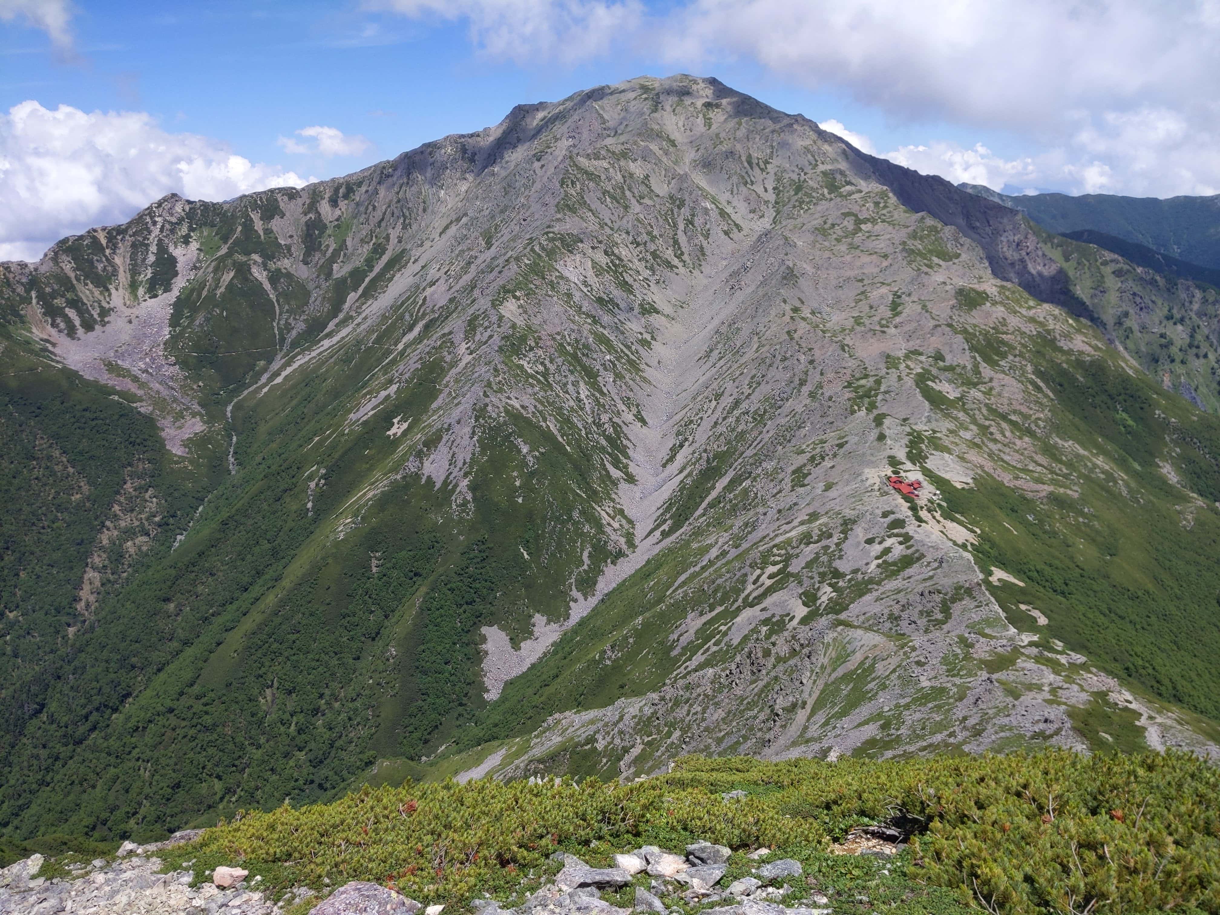
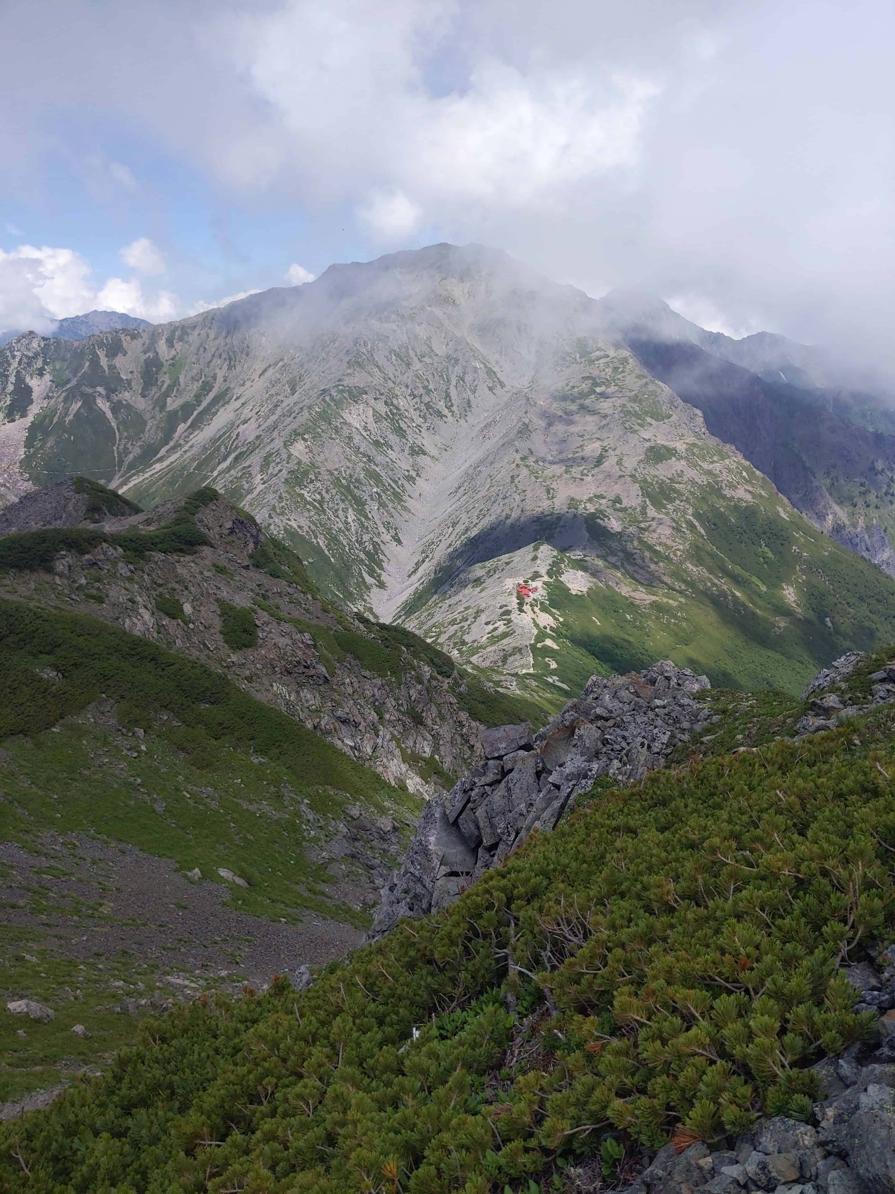
(Day 2) Jul 29, 11:03 AM:
Continuing the journey.
The Notori Hut 農鳥小屋 gradually shrinks into the distance.
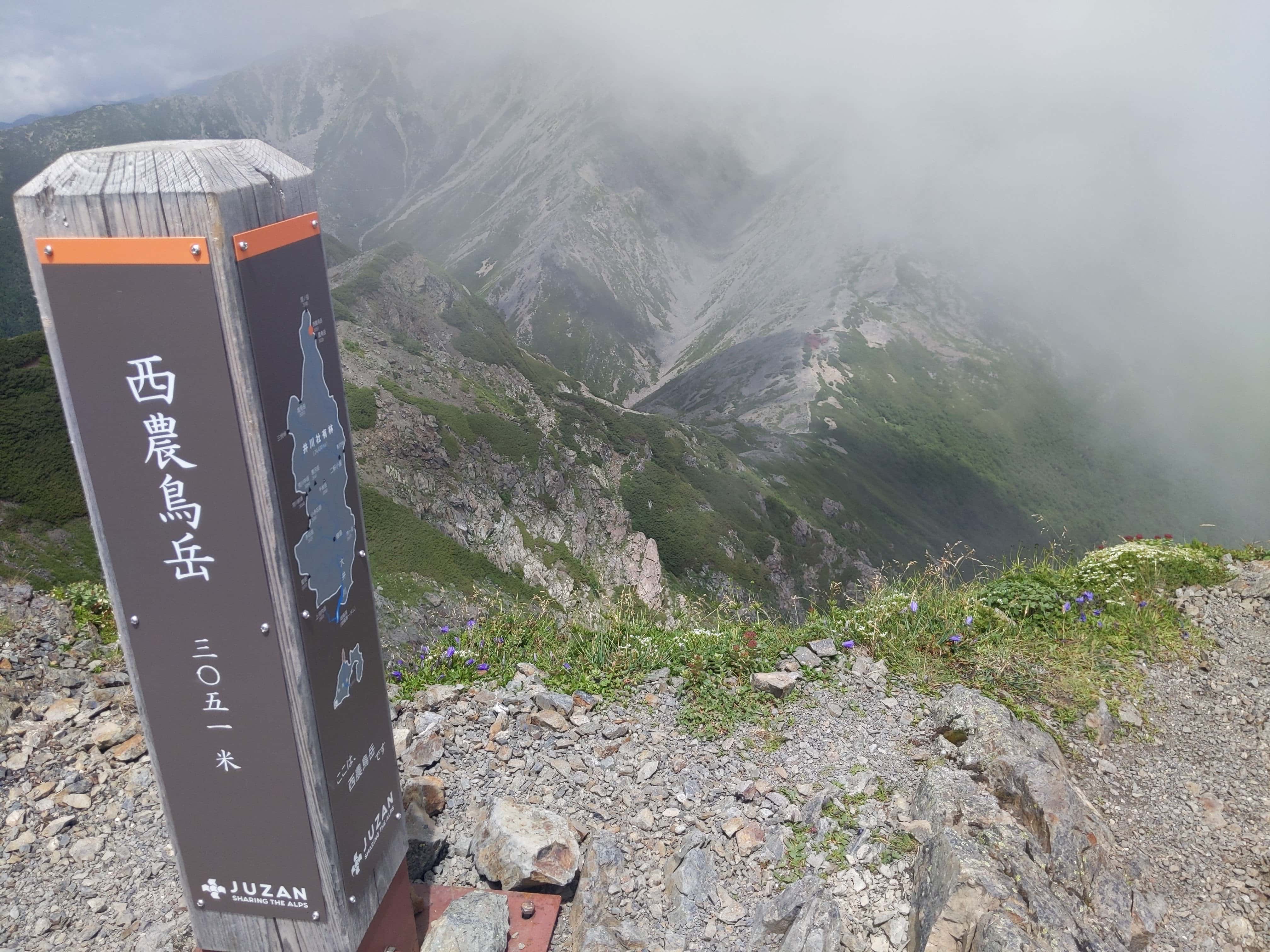
(Day 2) Jul 29, 11:36 AM:
Before Mount Notori 野鳥岳, we pass by Mount Nishinotoridake 西農鳥岳.
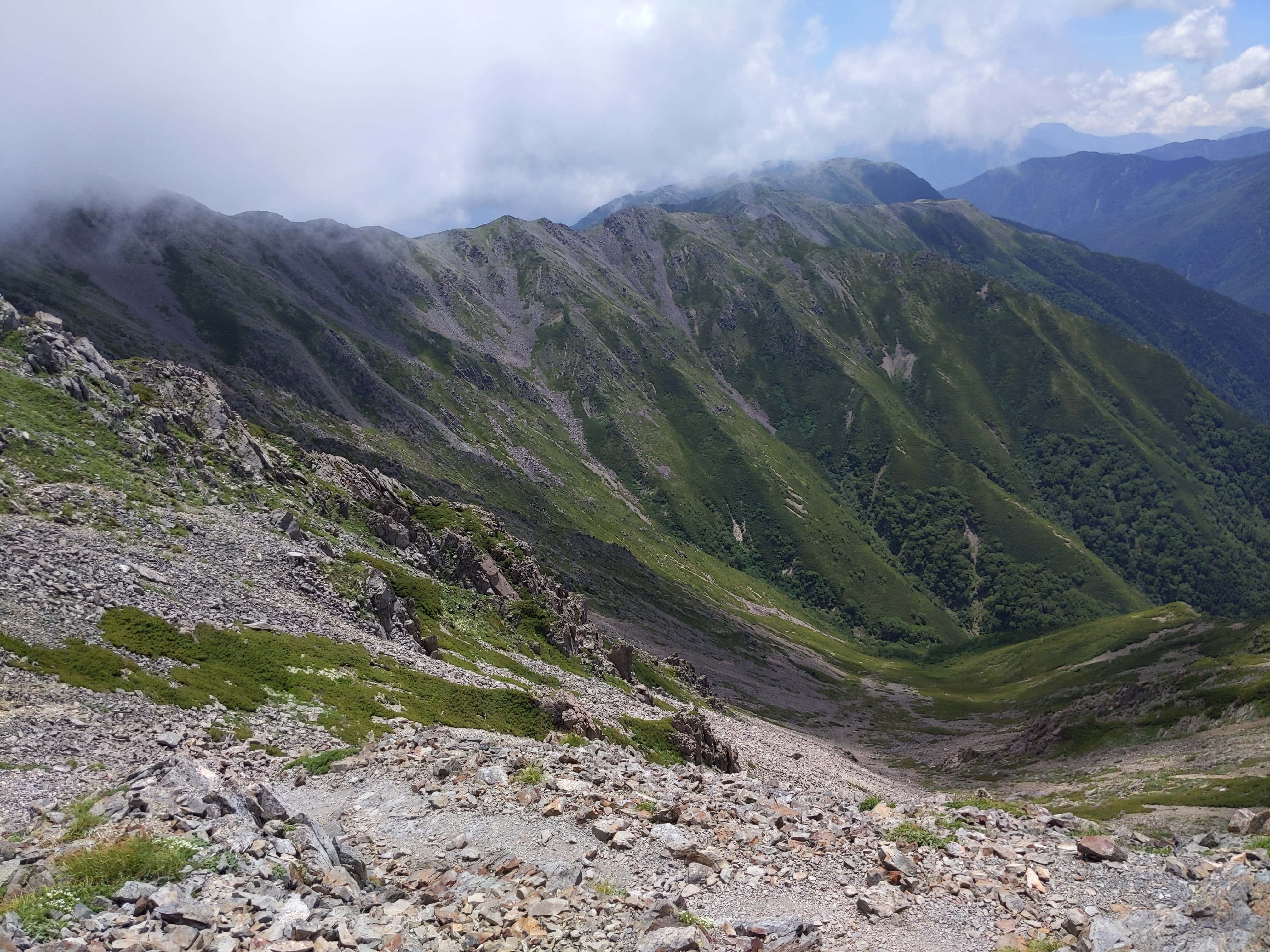
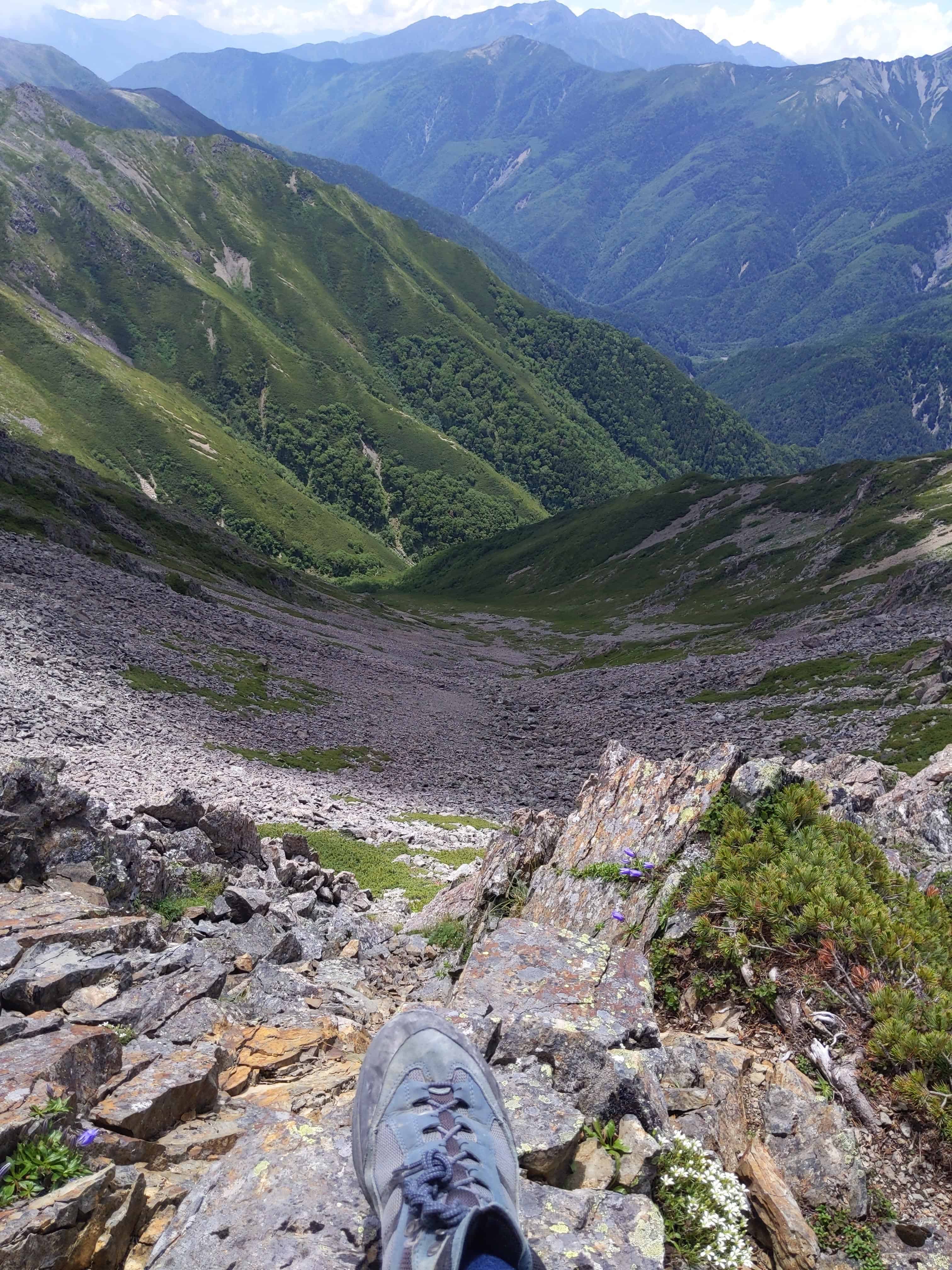
(Day 2) Jul 29, 12:13 PM:
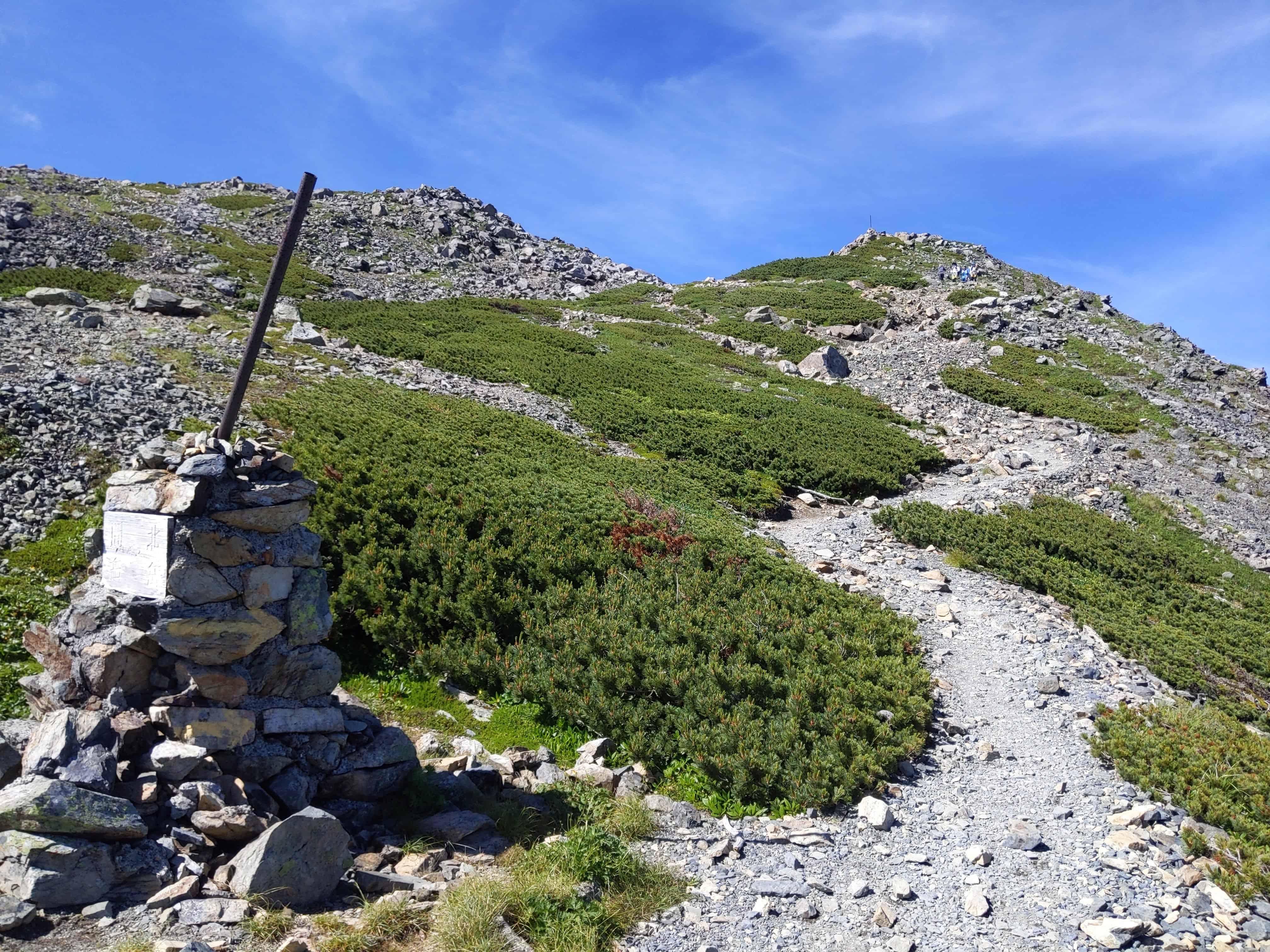
Finally, Mount Notori 野鳥岳.
(Day 2) Jul 29, 12:56 PM:
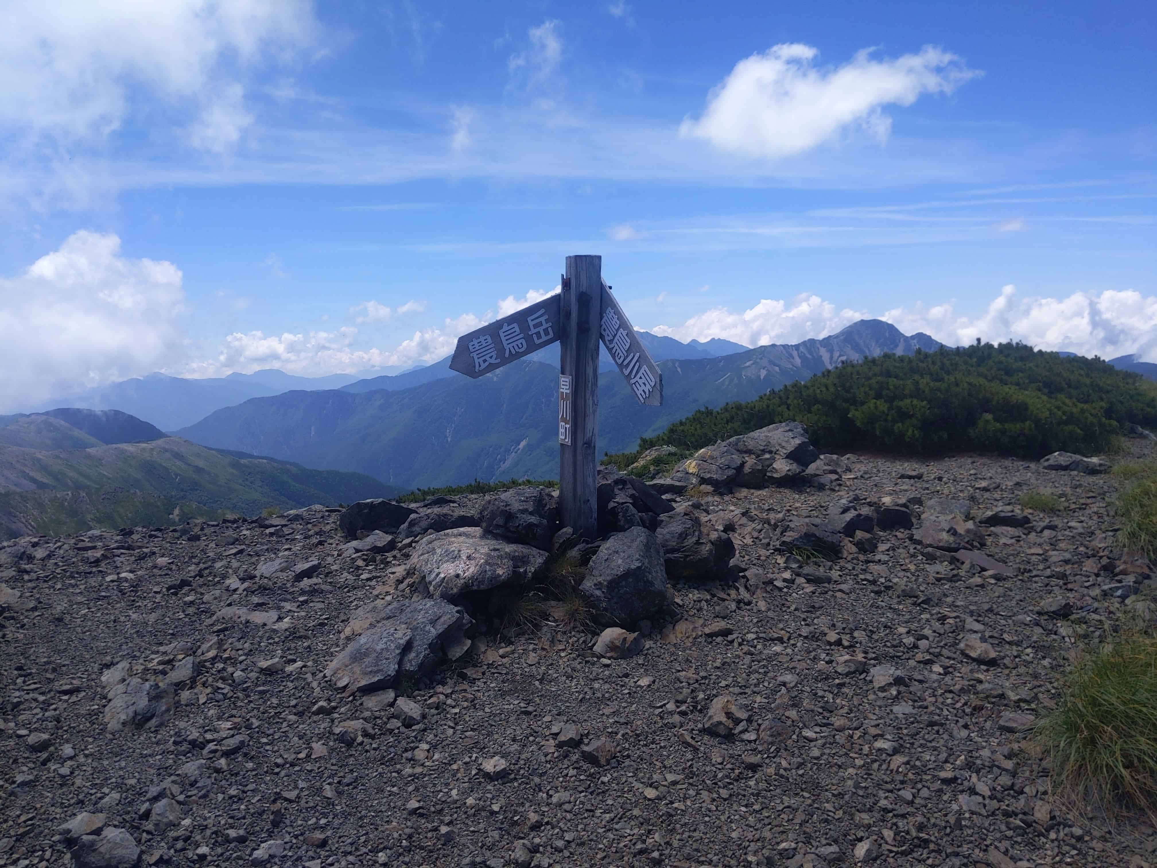
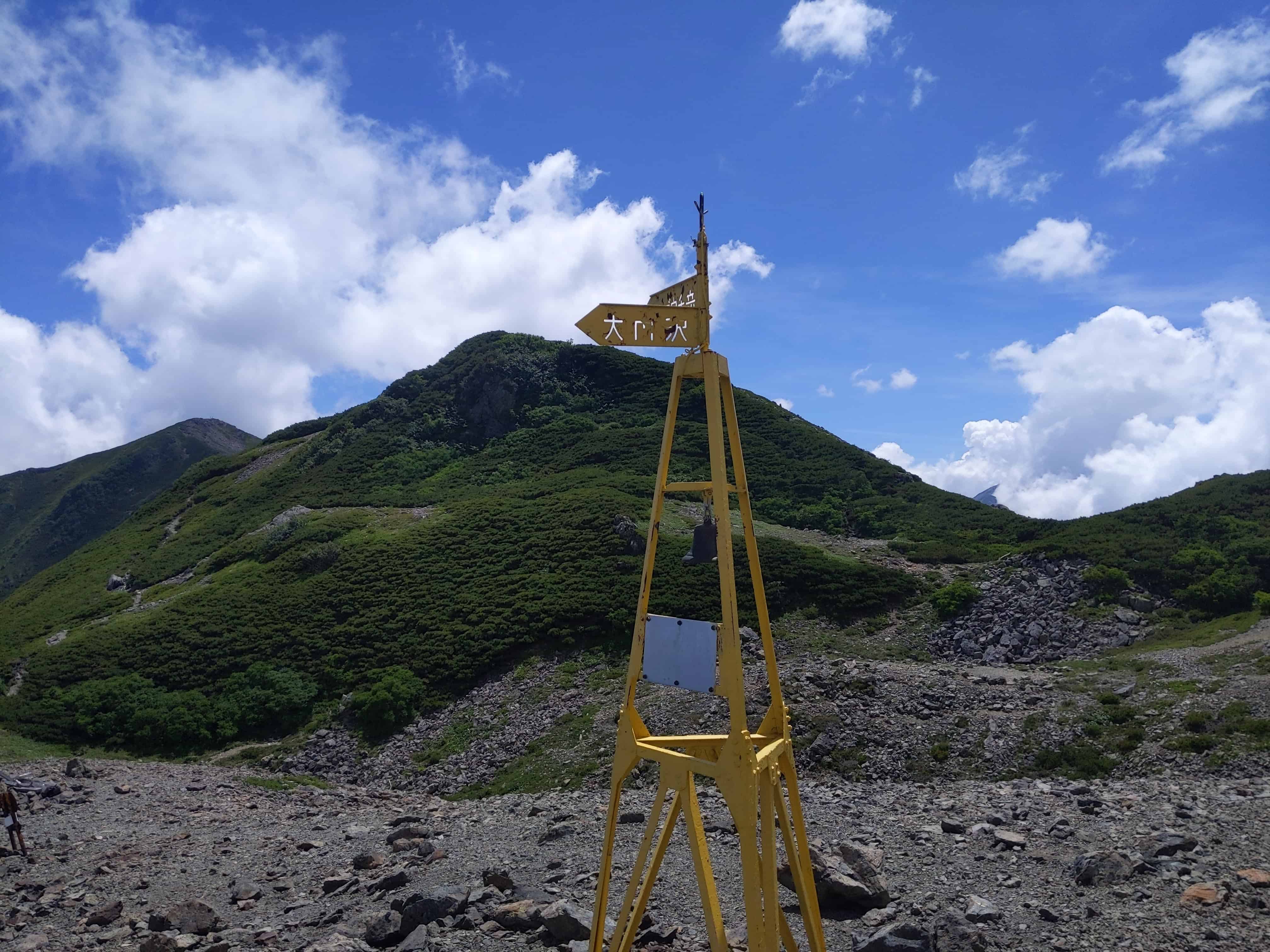
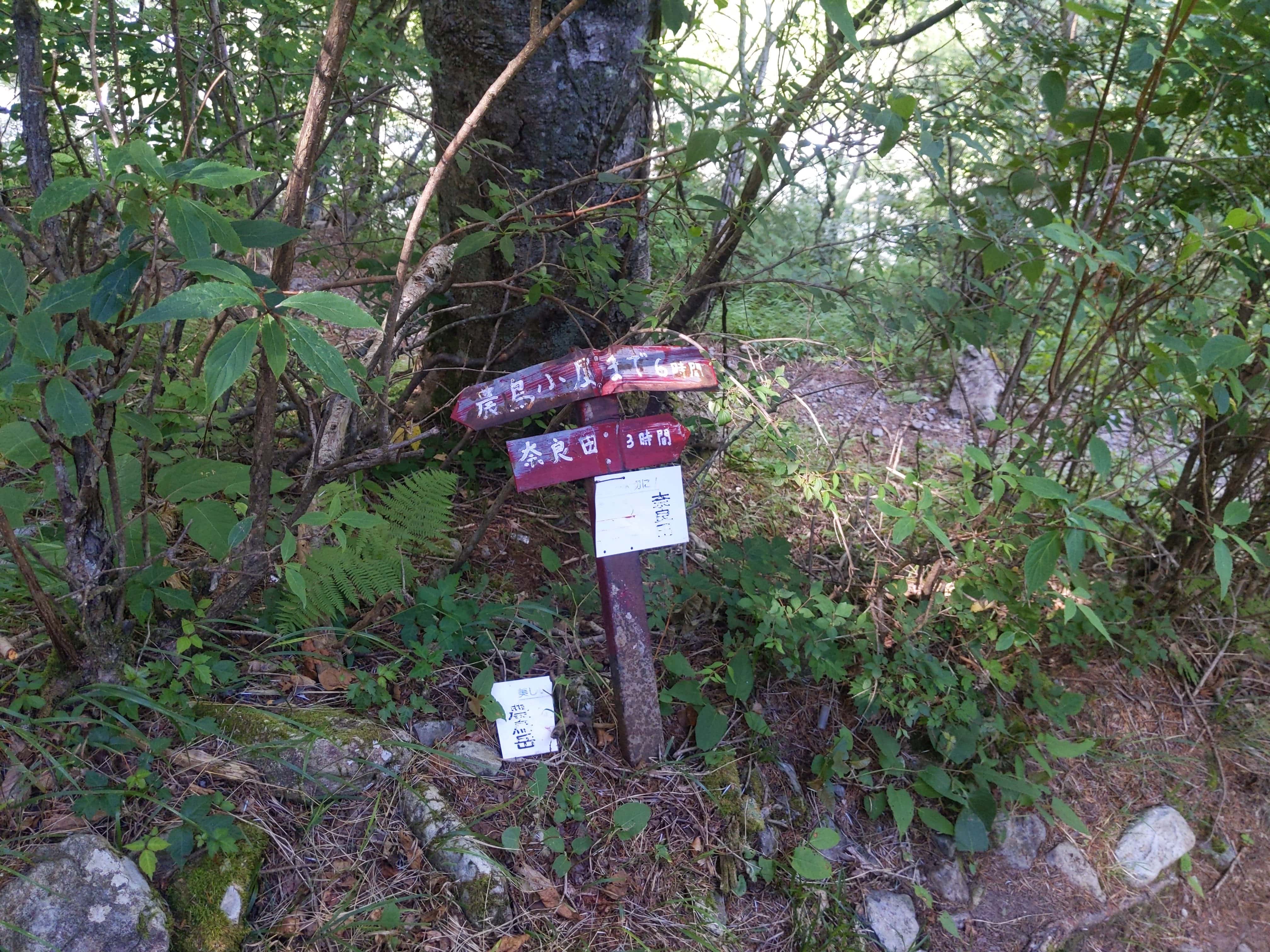
At this checkpoint, we need to check our directions and towards Daimon Valley 大門沢.
The route from now is just a straight descent.
(Day 2) Jul 29, 17:16 PM:
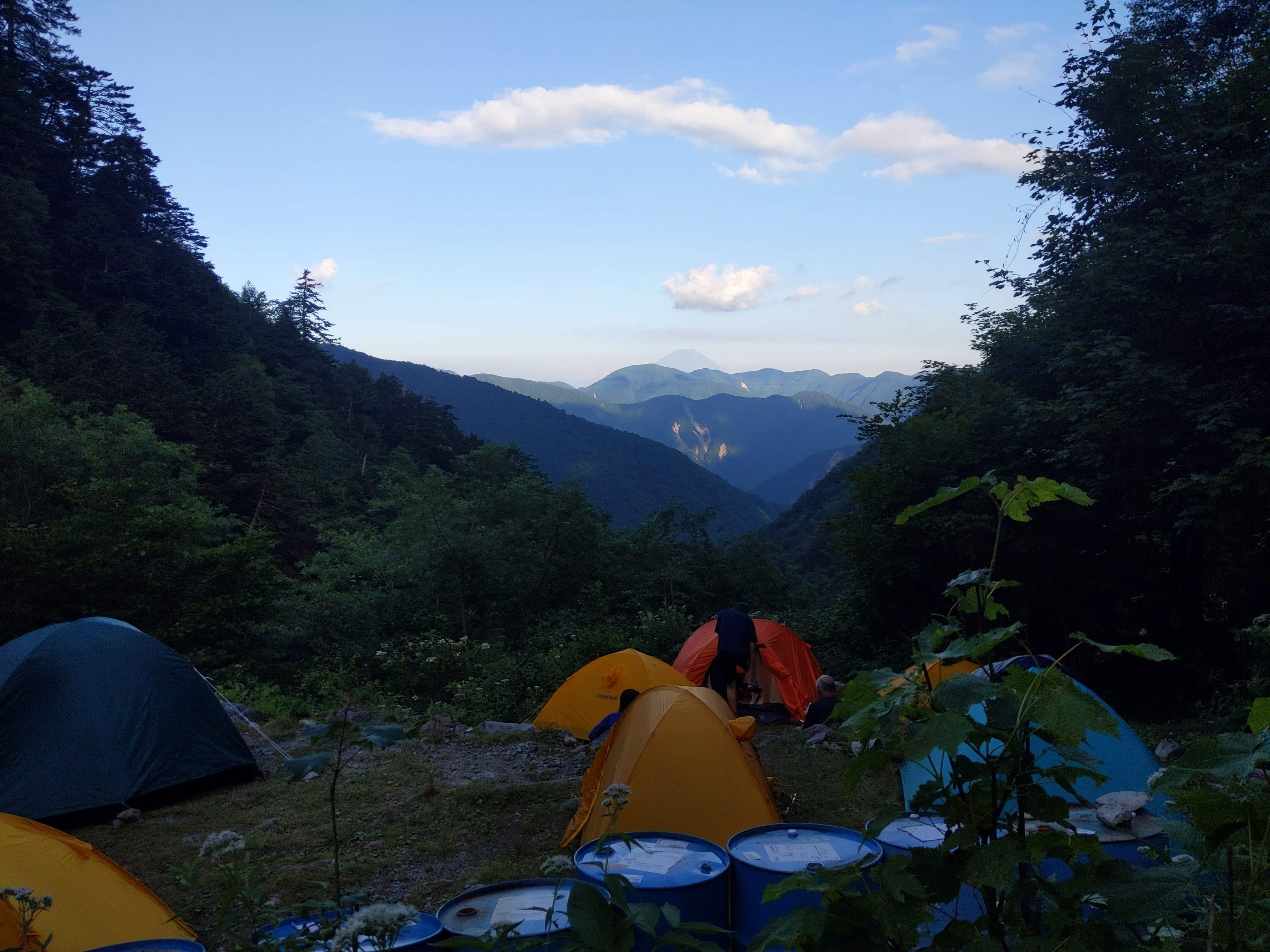
Arrived at Daimonzawa Hut 大門沢小屋, located in the middle of the mountain.
I tend to avoid staying overnight in the middle of the mountain, because mainly because the view is not the greatest and the humidity is pretty high (which means there are more insects).
Unfortunately, I had no other choice because the descent is very long and I cannot make it to the trailhead before nightfall.
I hope Notori Hut 農鳥小屋 continues proper operation the next time I visit this area so that I can stay over at the summit and be able to complete the descend within the day.
(Day 3) Jul 30, 05:19 AM:
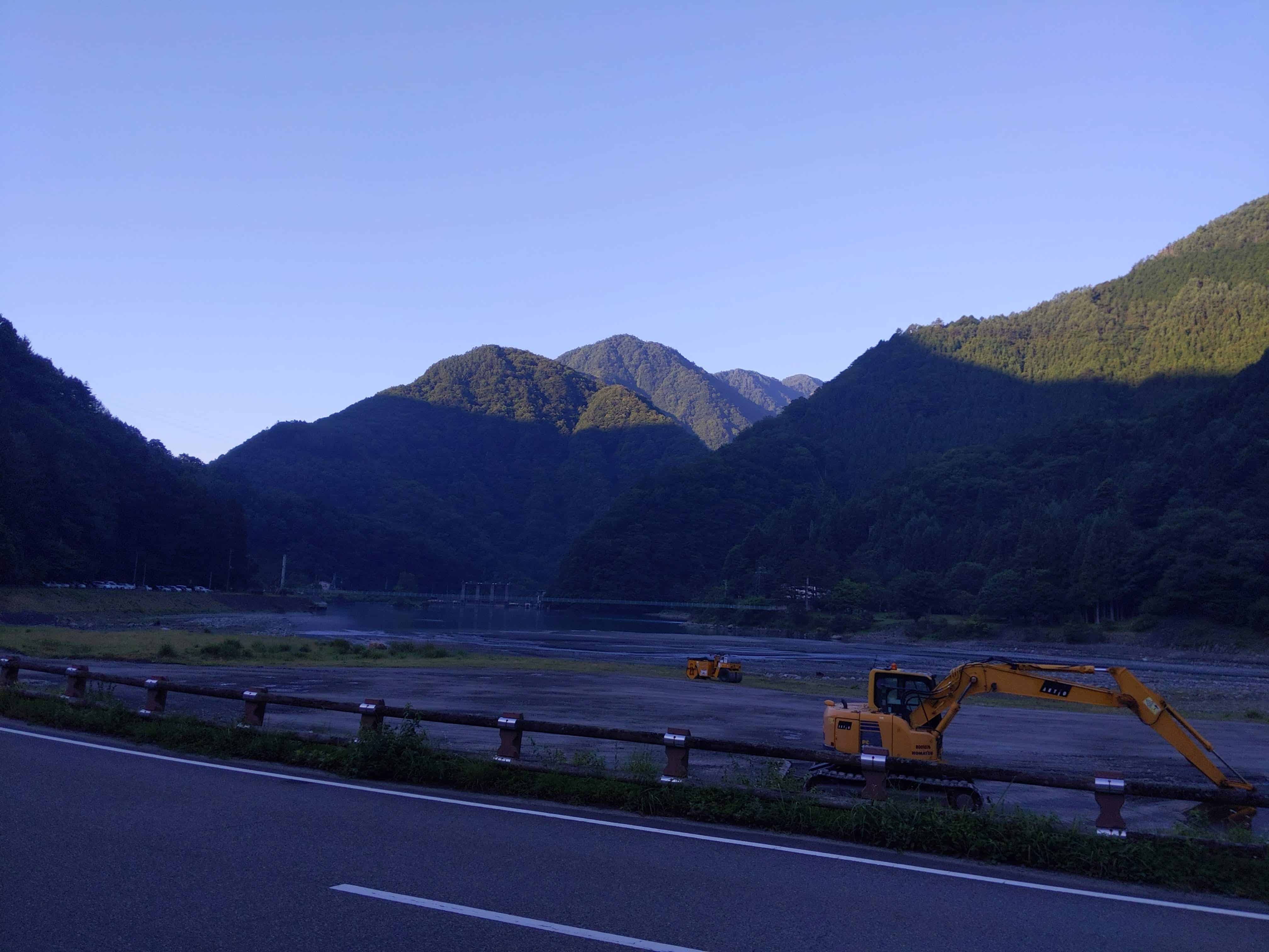
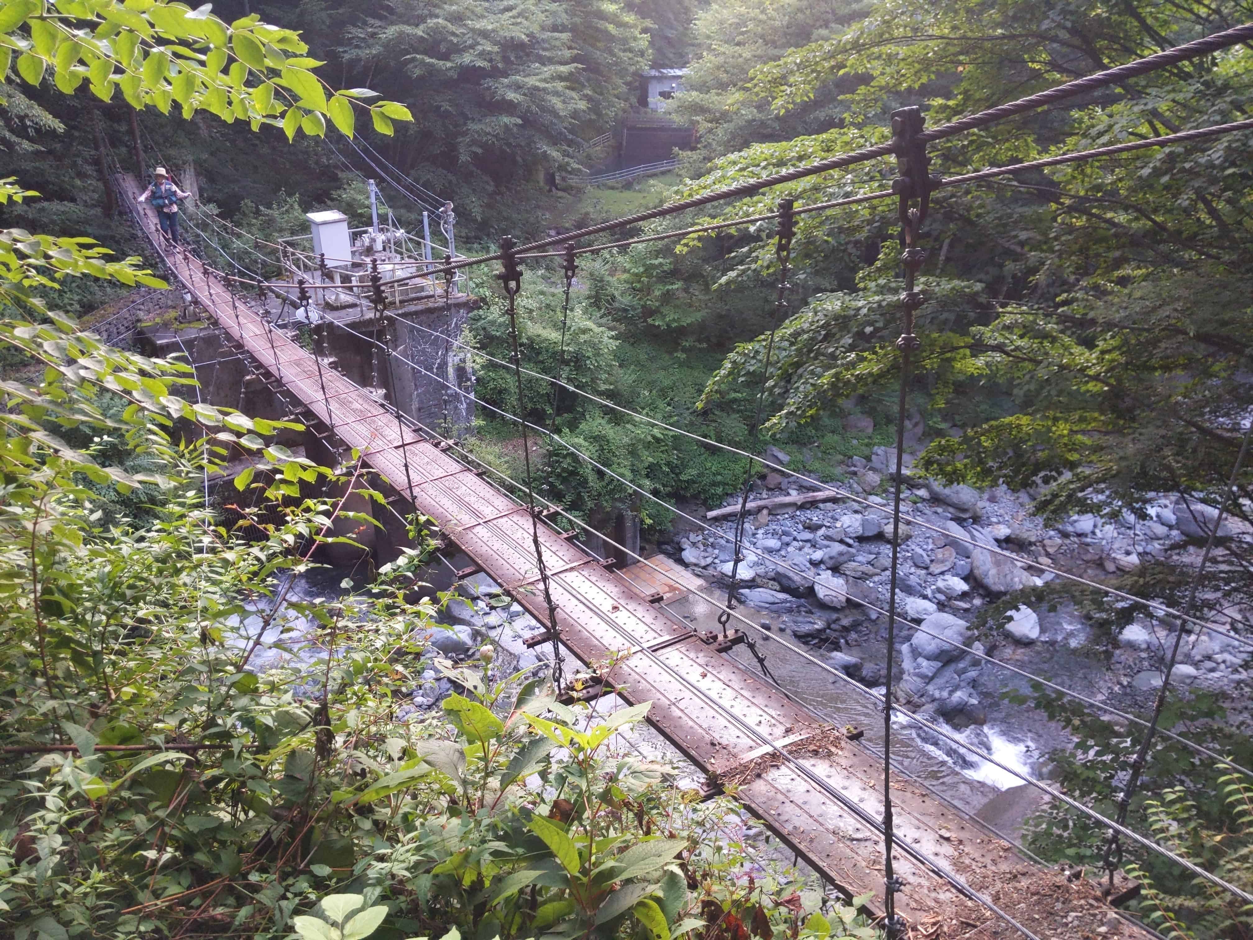
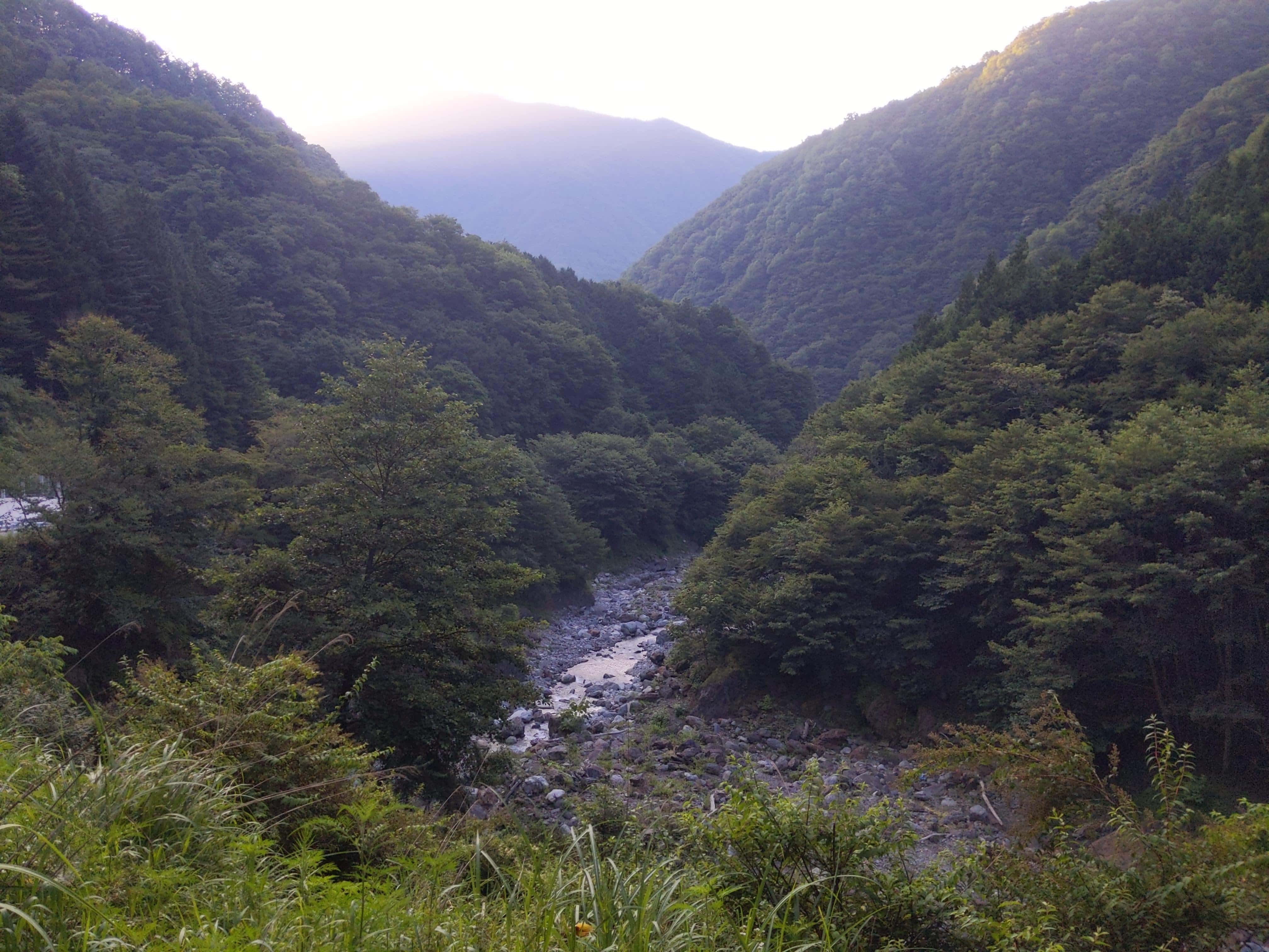
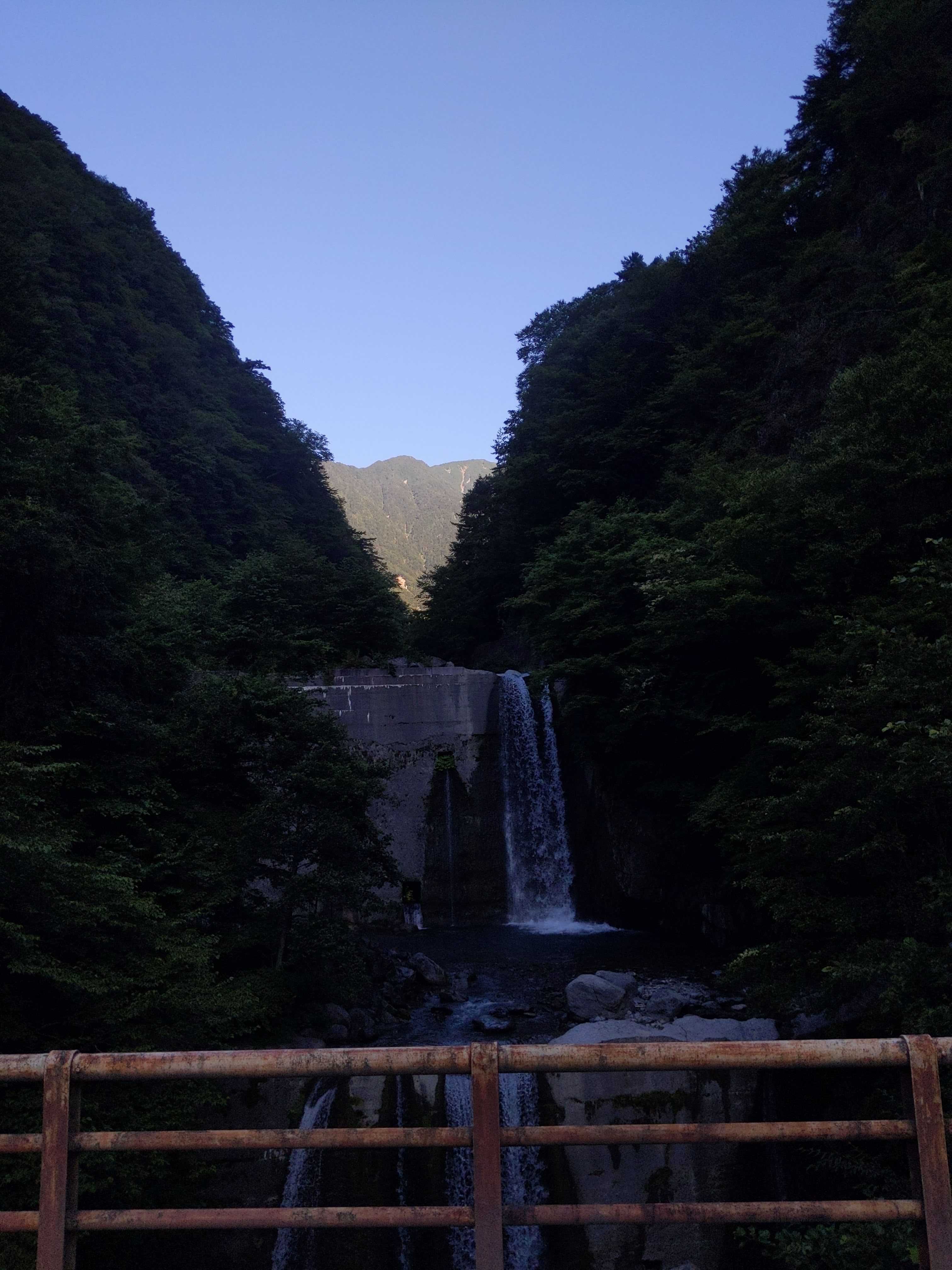
I started the descent early in the dark and this is the first picture I took.
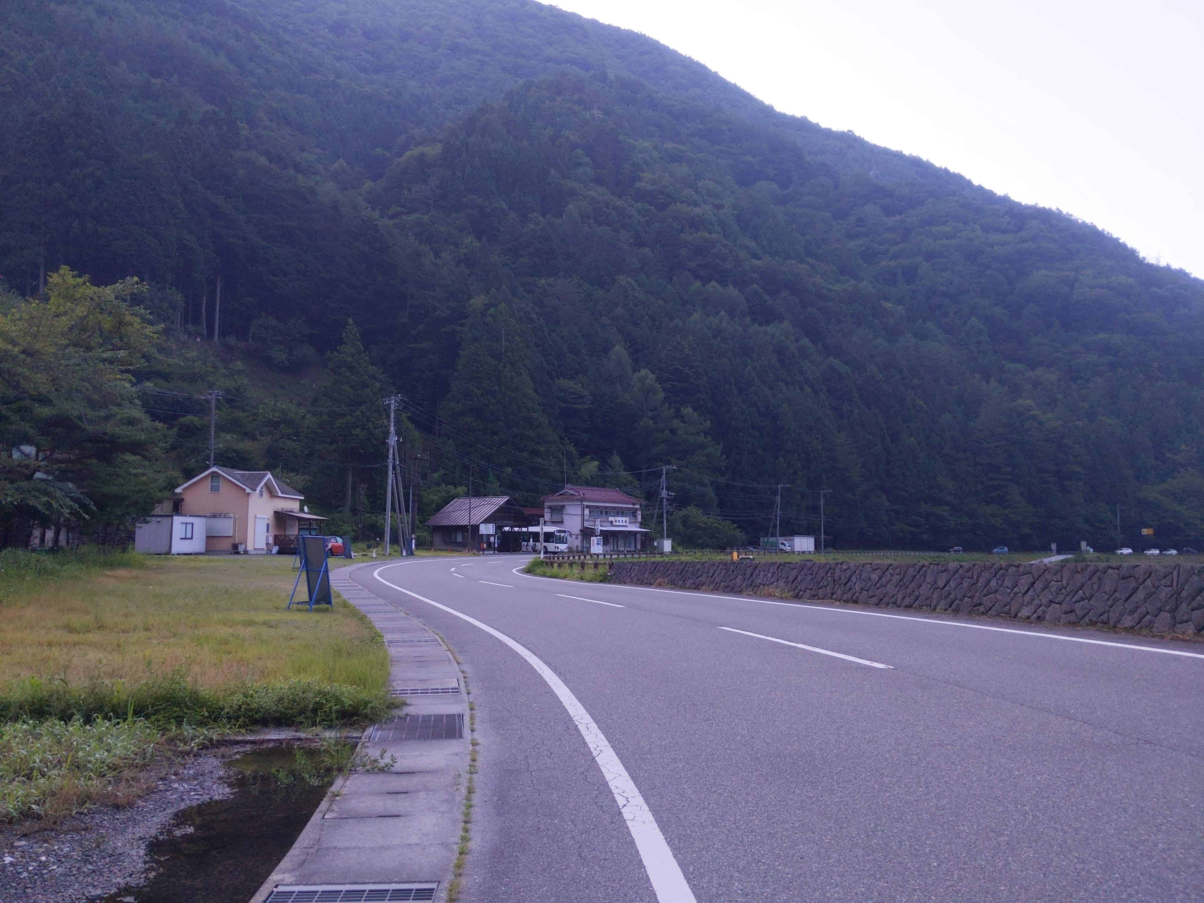
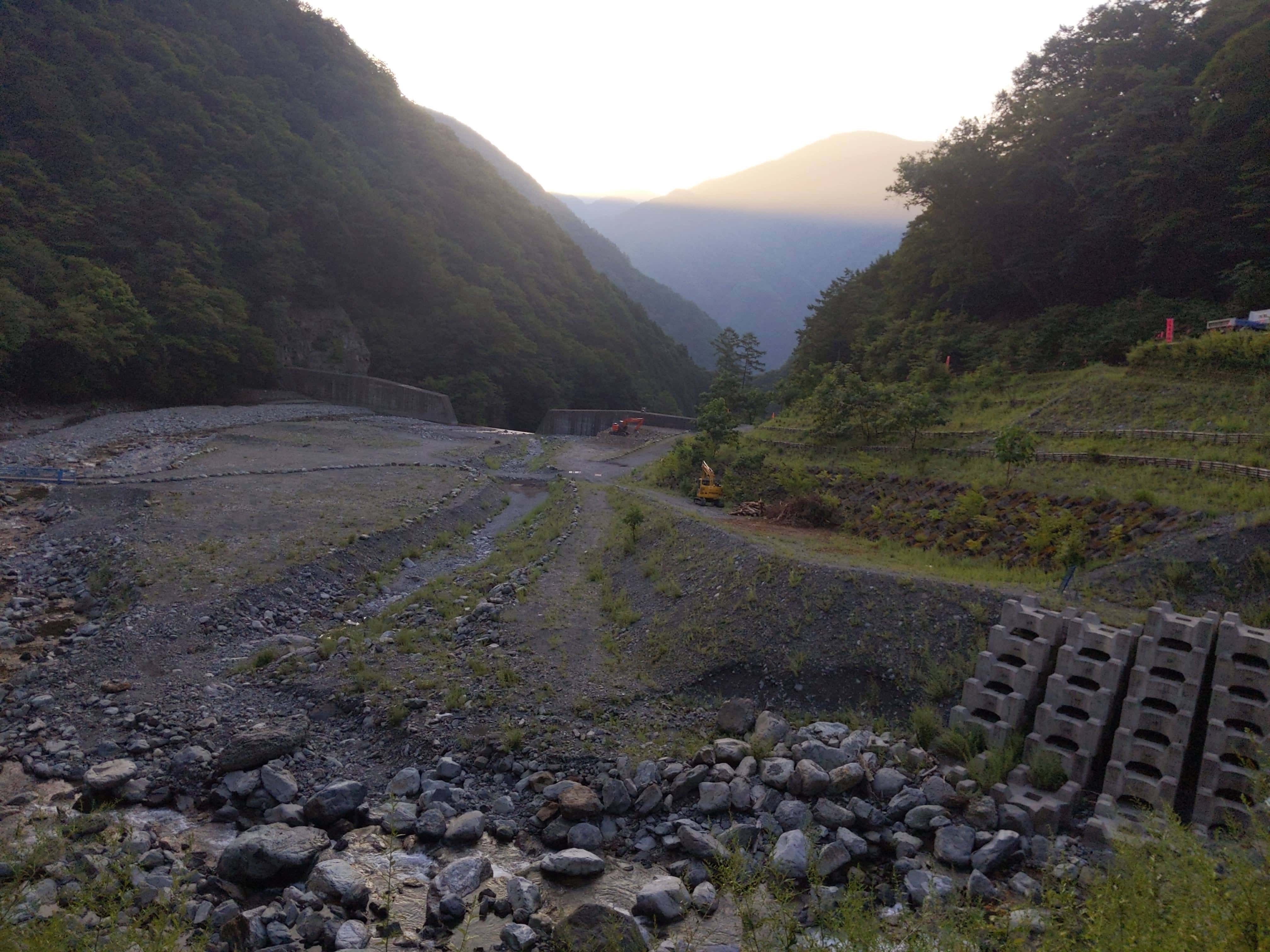
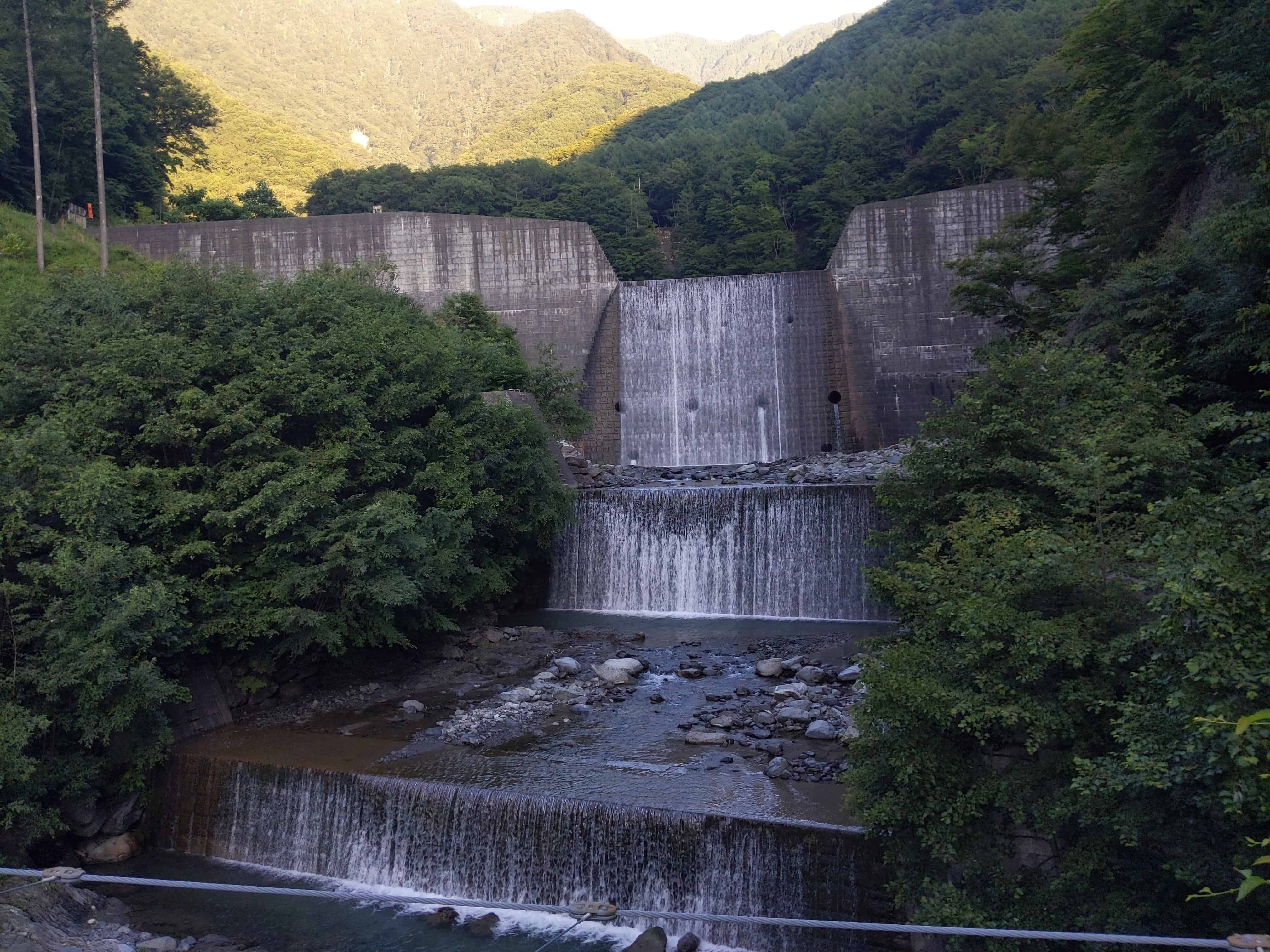
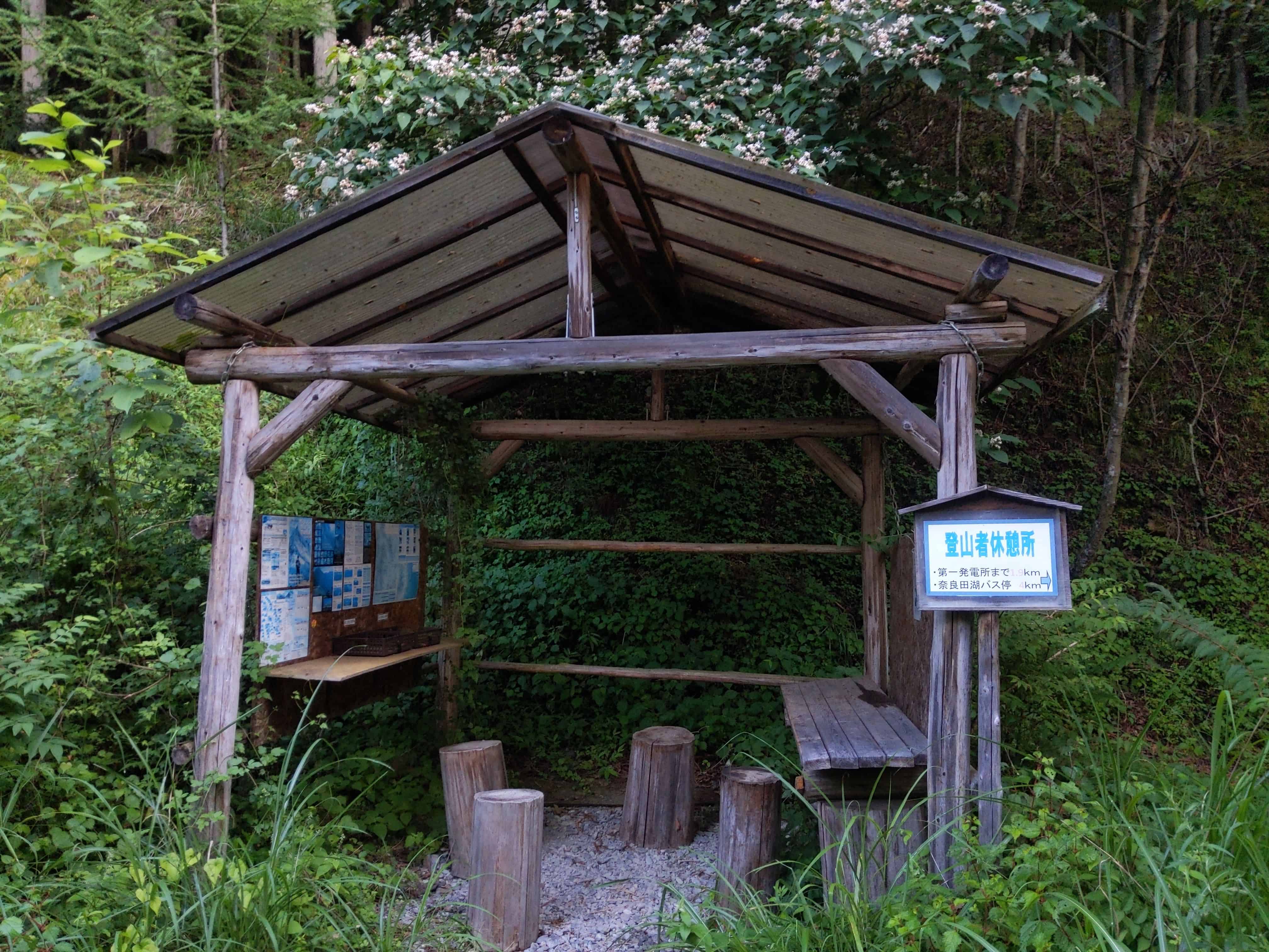
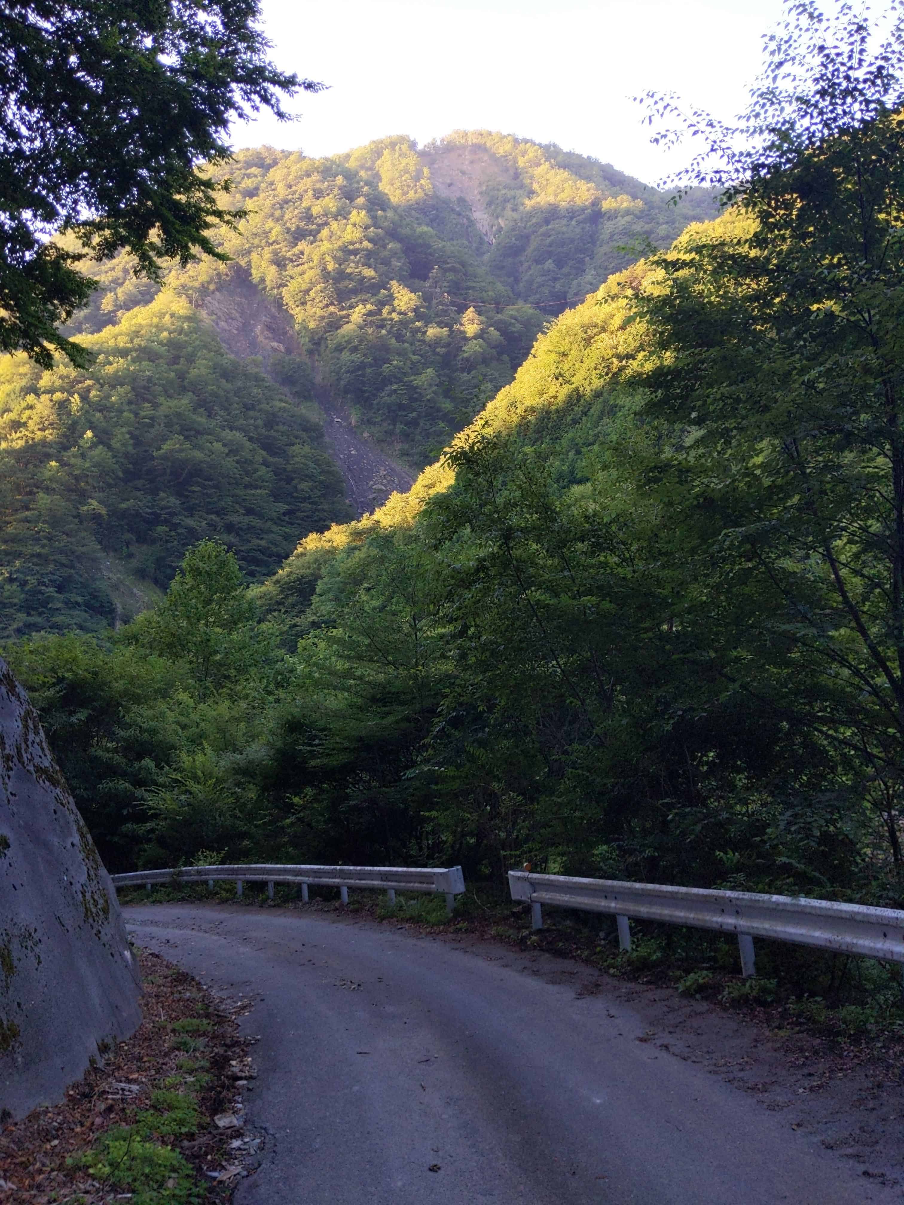
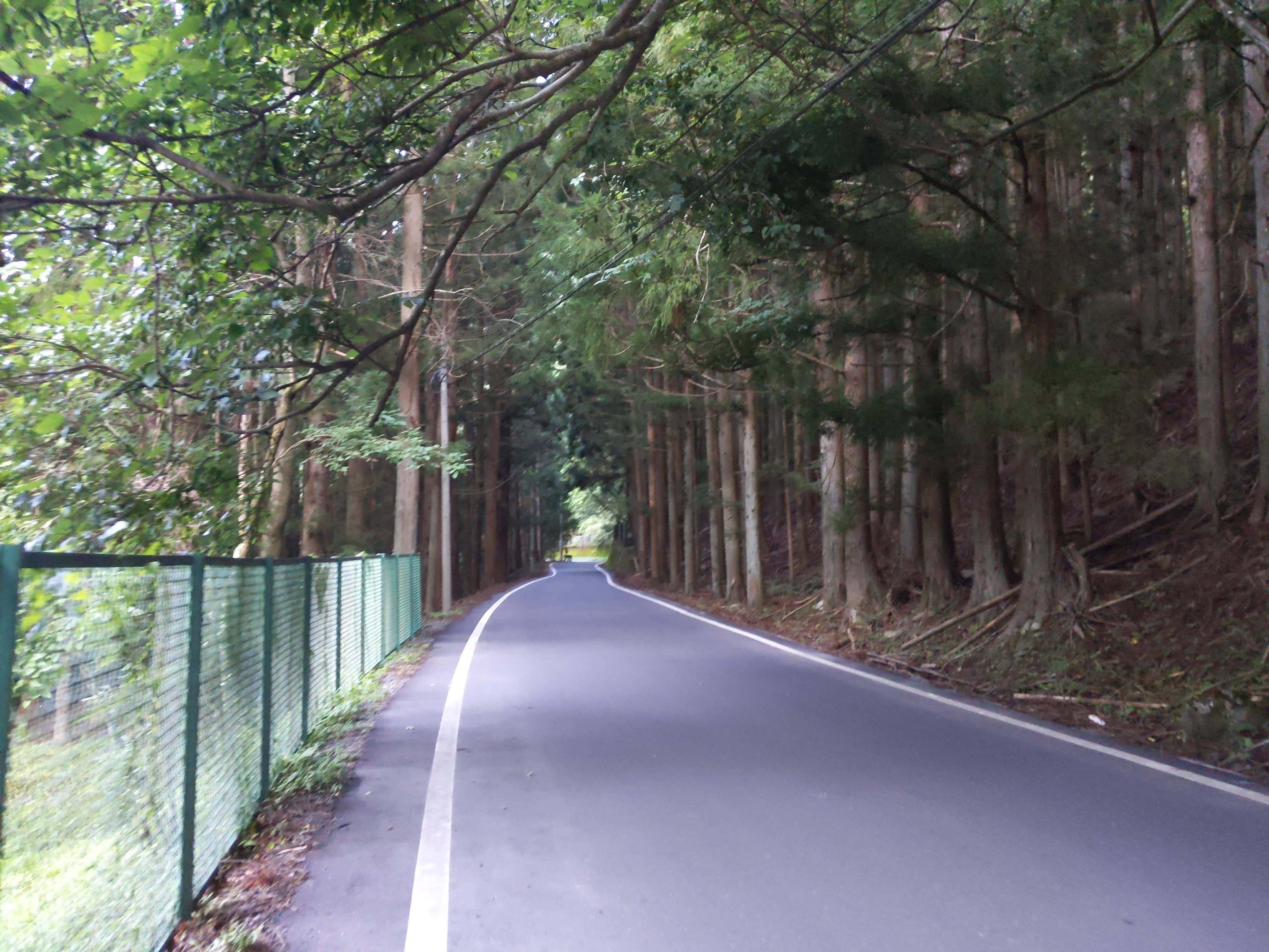
After what seems like a long descend in the woods, I start seeing man-made infrastructures as I get closer to civilization.
(Day 3) Jul 30, 06:15 AM:
I reached Narada Onsen Bus Stop 奈良田温泉バス停 in time for the first bus departure to Shimobe Onsen Station 下部温泉駅.
I was looking forward to the onsen at Shimobe Onsen しもべの湯 after this long and strenuous descent. I was in fact rushing down to make it for the first bus.
Unfortunately, Shimobe Onsen しもべの湯 opens at 10am.